Walking Detling to Lenham
Map will appear here
Weather Forecast for this Section
Route Directions
The Detling to Lenham section of the North Downs Way is 9.3 miles long. However, the first half of this has quite considerable elevation gain, with many up-and-down sections that can make it fairly challenging. You’ll begin where the previous section ends beside the A249 motorway. The nearest train station is Bearsted, which is a 2.2-mile walk from the start, so it’s worth being aware of that additional mileage.
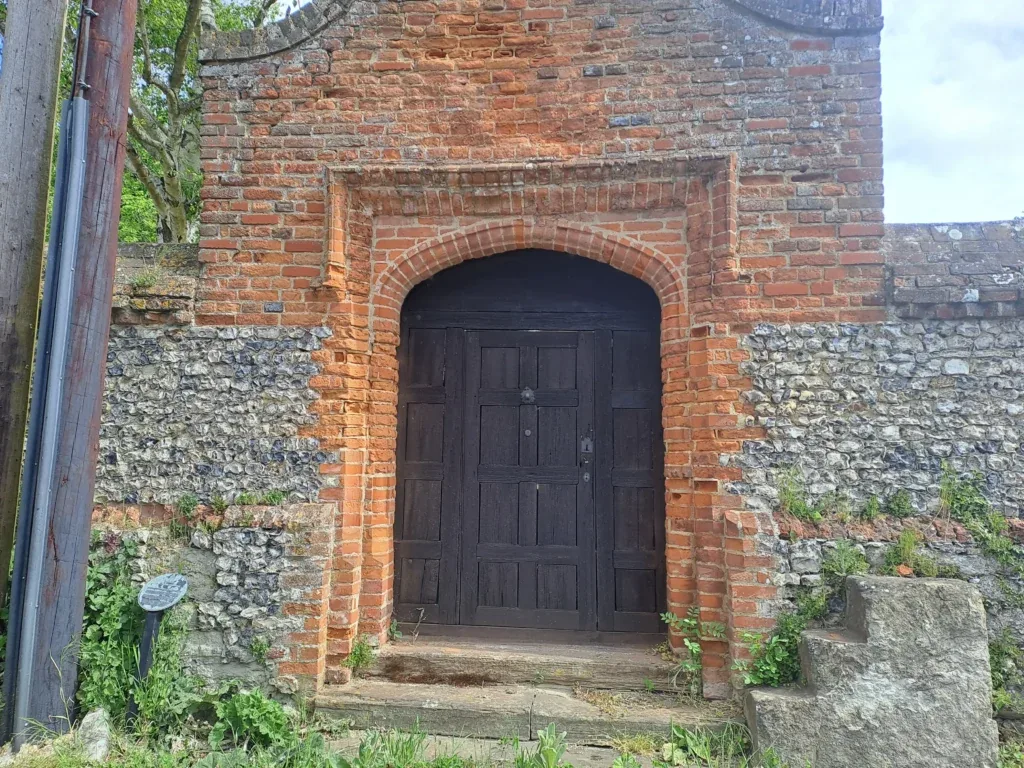
To get started, continue straight past the metal North Downs Way sign, walking briefly along the eponymously named road ‘The Street’. You’ll then turn right and then immediately left onto Pilgrim’s Way. At the very start of this road, you’ll also see the Tudor Door on your left, which was once the entrance to a Dwelling House where weary pilgrims would stop when travelling towards Canterbury Cathedral.
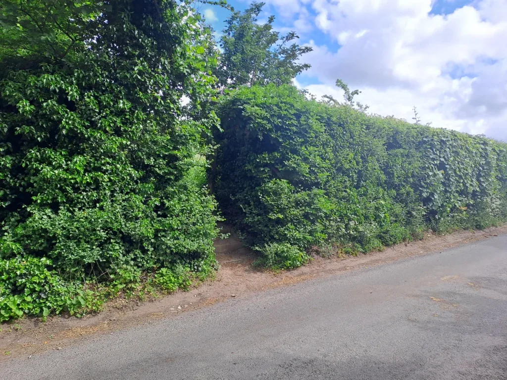
Follow Pilgrim’s Way for a bit before taking a left turn through a hedge and up towards the downs. You’ll be walking with a vineyard visible on your right-hand side. The path bends around to the right as you head uphill, and at one point, forks where you’ll head up to the left and through a wooden gate, climbing higher up onto the downs. You’ll be walking within earshot of the A249 motorway, which isn’t the most pleasant, although this doesn’t continue for the whole section.
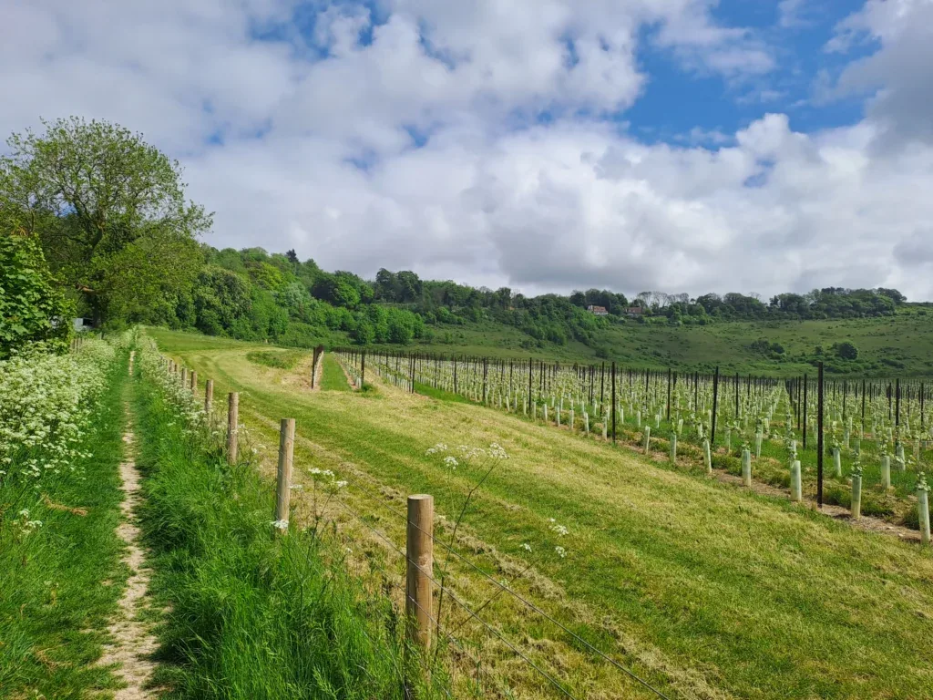
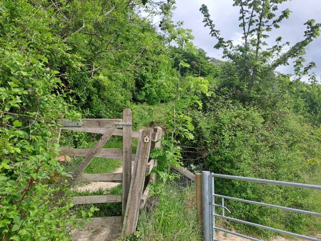
From here, you’ll see some very dramatic views of the surrounding countryside and the vineyards below. You’ll then take some pretty steep steps down before walking back up across the fields. Keep going across these fields until you reach Castle Hill Road, where you’ll take a right turn.
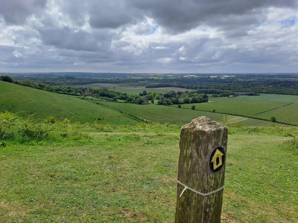
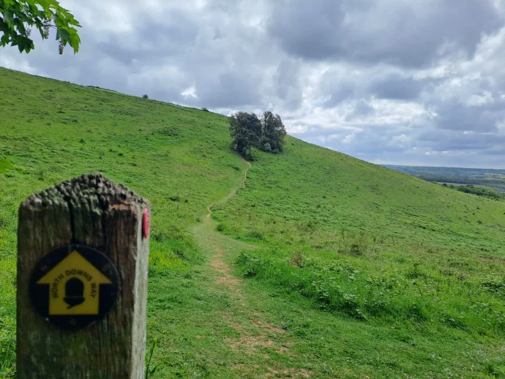
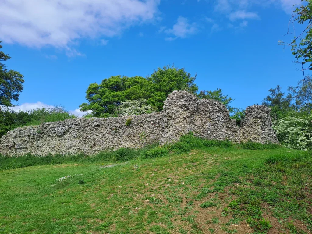
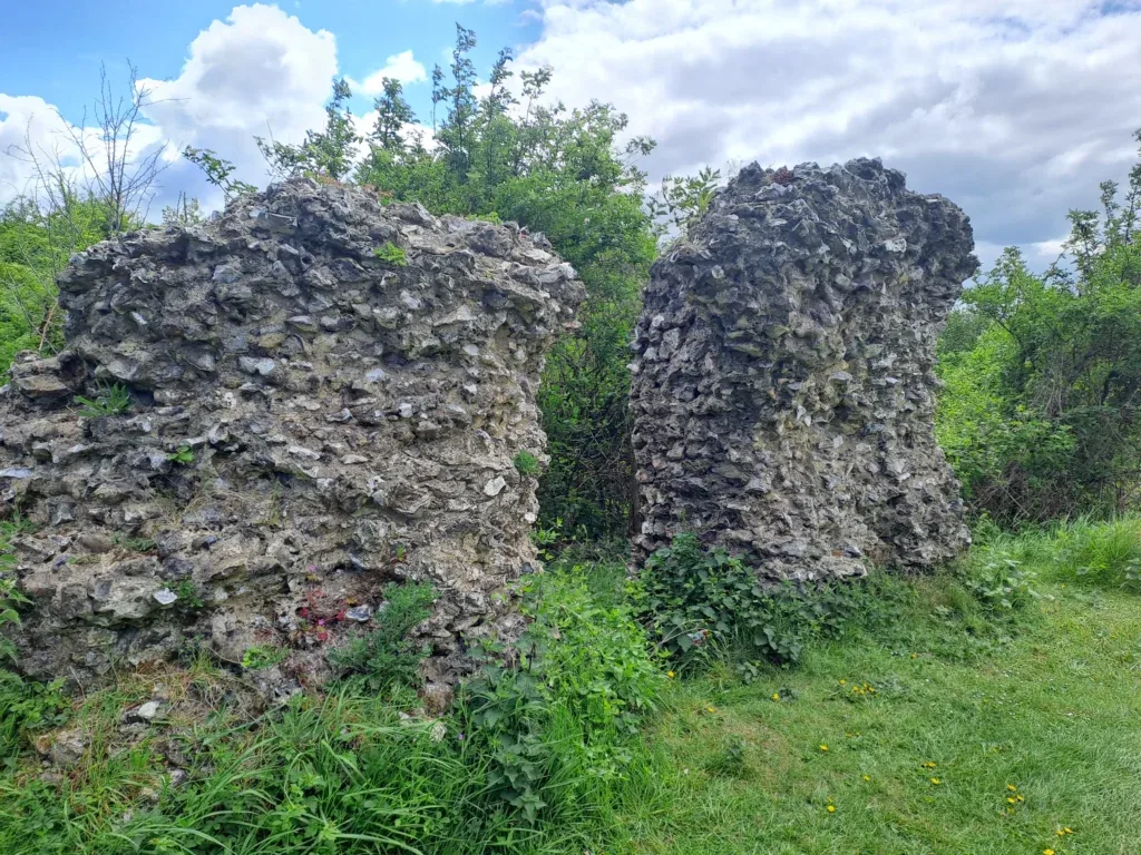
Here you’ll do a brief bit of road walking as the path curves downhill to the left. You then take a left turn back into the woods, following the sign for Thurnham Castle and the White Horse Wood Country Park. As you follow this path, you’ll then reach a point where you can continue straight on following the North Downs Way or take a detour to the left and go up a steep hill to the ruins of Thurnham Castle. It’s worth checking out, although bear in mind that it’s a considerably steep incline where the last part doesn’t have very good footing, which makes it a bit precarious.
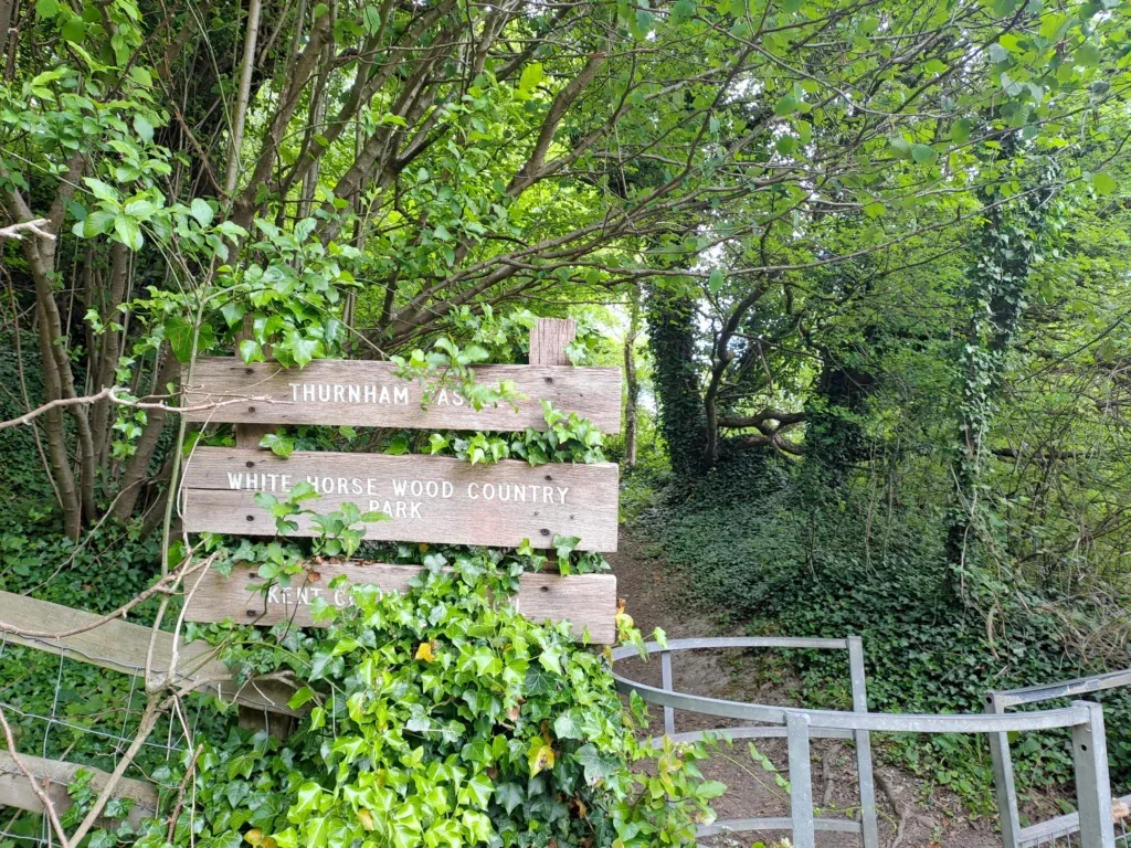
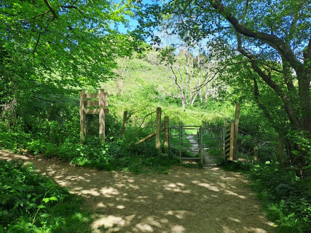
Here are some photos of the Thurnham Castle ruins (again this is a slight detour away from the North Downs Way but worth checking out if you have time).
Continue through the wooden gate to keep following the North Downs Way, where you’ll walk up a gradual incline with wooden posts on your right. At the end of this stretch, the path takes a right turn, through a metal gate and into another field. In this next field, you’ll follow the perimeter (inside the barbed wire fence) around the field and through an exit on the far side. This field also affords some lovely views if you want to take a short break.
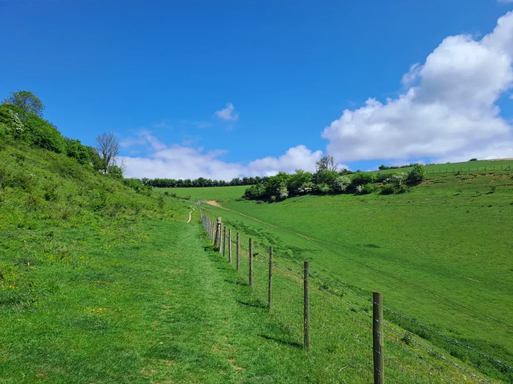
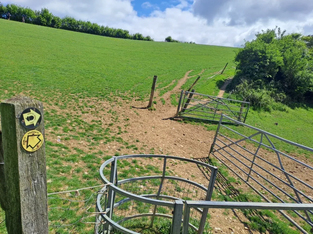
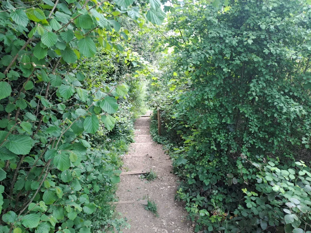
After exiting the field, you’ll enter the woods again. The following section is very hilly as you’ll go up and down various steps as you follow the North Downs Way. At the same time, the route is very clearly marked and in more or less a straight line as you go up and down the hills. Just make sure you pace yourself.
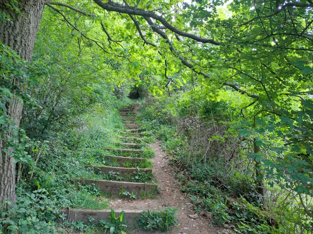
Up the first steps
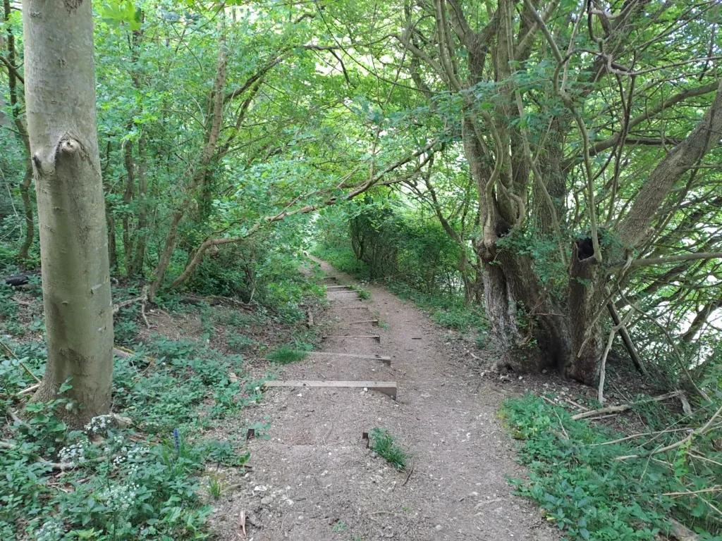
Down the second steps
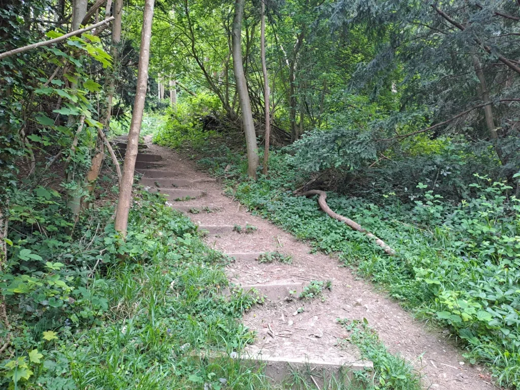
Up the third steps
Following the stairs, the path crosses over Coldblow Lane. After crossing straight over, you’ll continue through the woods before reaching a point where you’re walking along the right side of a field. After a while, the path comes down and into a large field with great views of the surrounding areas, you’ll want to cross this field (walking down) before taking a left turn onto Coldharbour Lane.
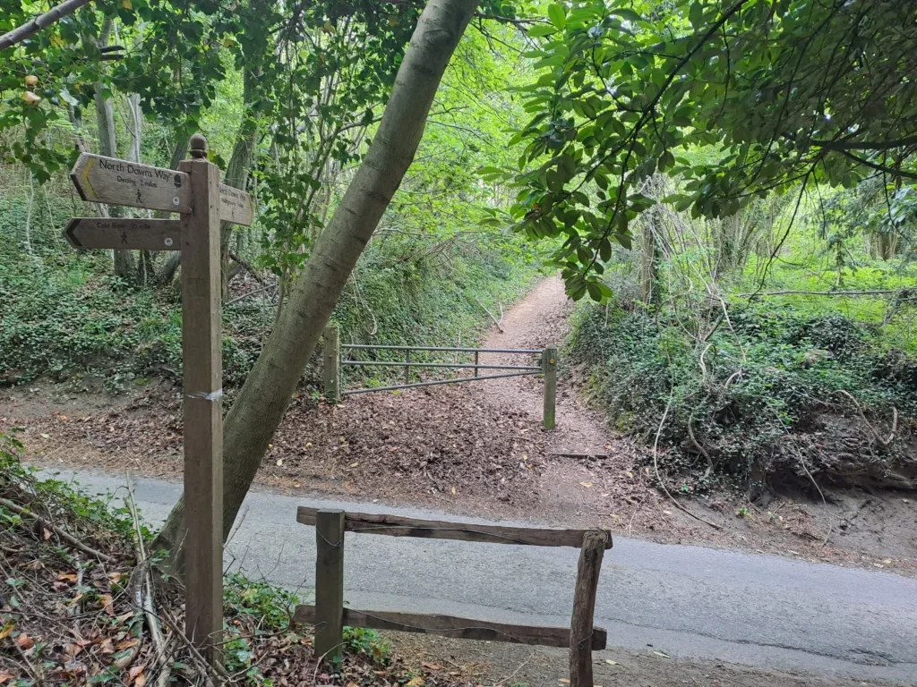
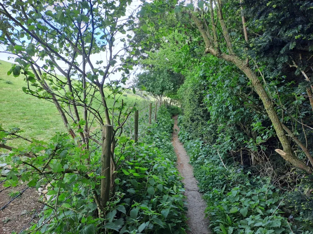
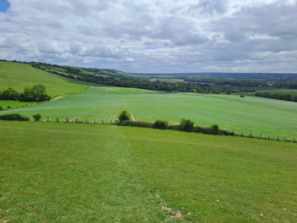
From here, you’ll continue along another narrow dirt track that gradually bends round to the right. You then pass through the woods for a bit before emerging into another field. The North Downs Way then crosses over Broad Street Hill road, heading back into the woods.
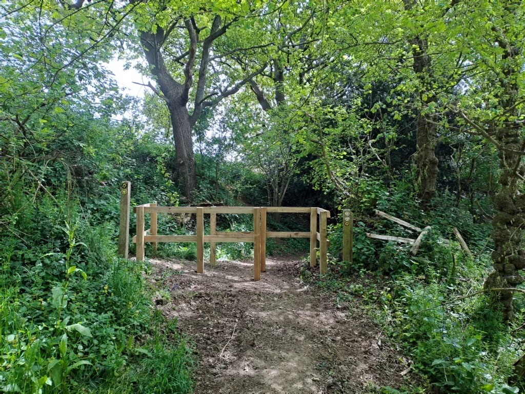
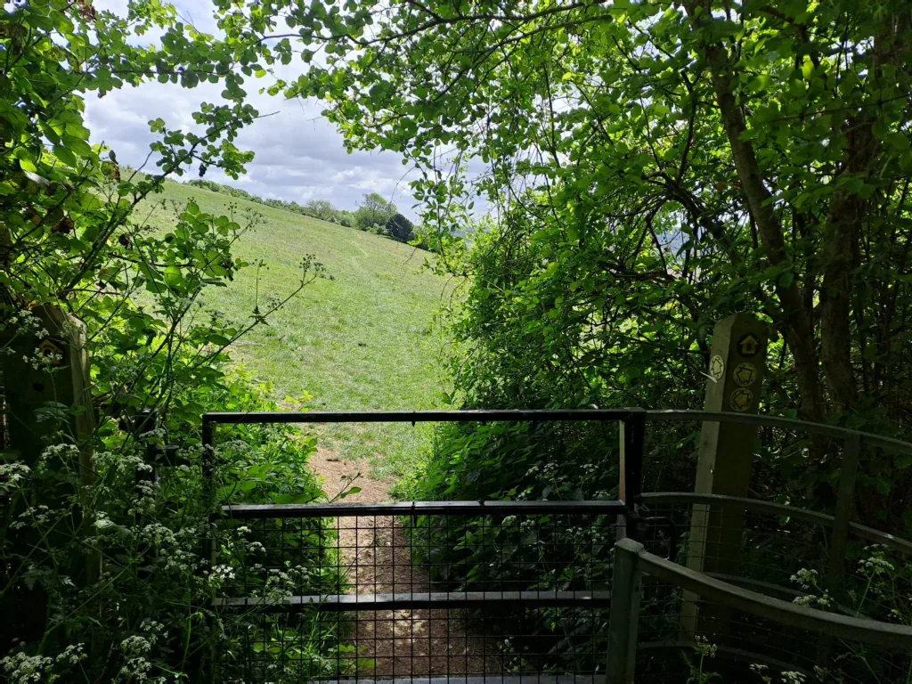
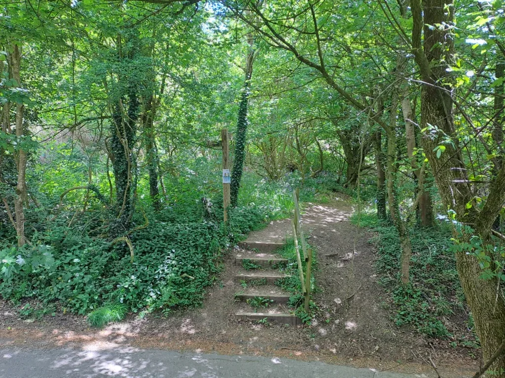
Continue straight across Broad Street Hill road and back into the woods. You’ll then continue in a straight line before reaching a sign for the North Downs Way viewpoint. After a short while, the path takes a left turn before turning right again fairly quickly. From here the North Downs Way curves round different fields (passing through wooden gates) in the direction of Hollingbourne.
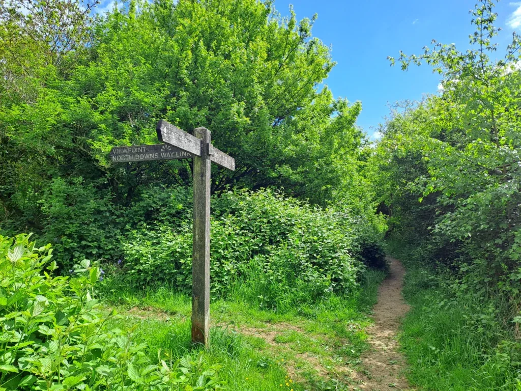
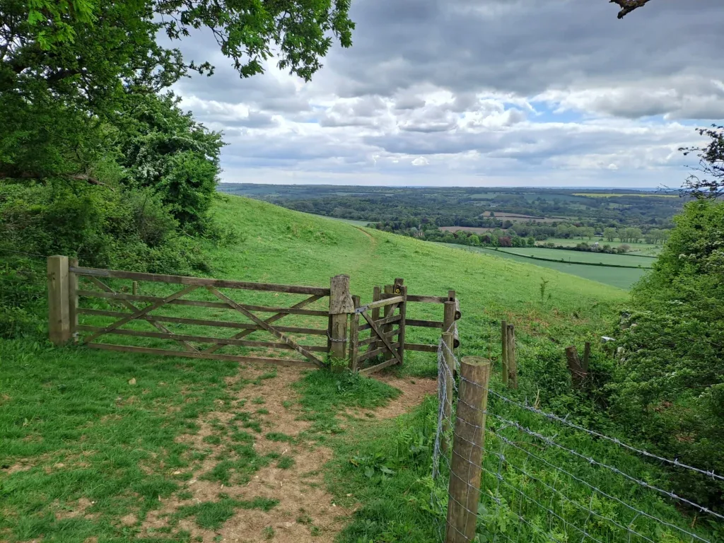
On the outskirts of Hollingbourne the North Downs Way takes a sharp right turn that takes you down across a field and through a large hedge. The route then takes a right turn through a wooden gate that takes you out by Hollingbourne Hill Road. You’ll then take a left turn onto Pilgrim’s Way which is the road you’ll continue along until you reach Lenham.
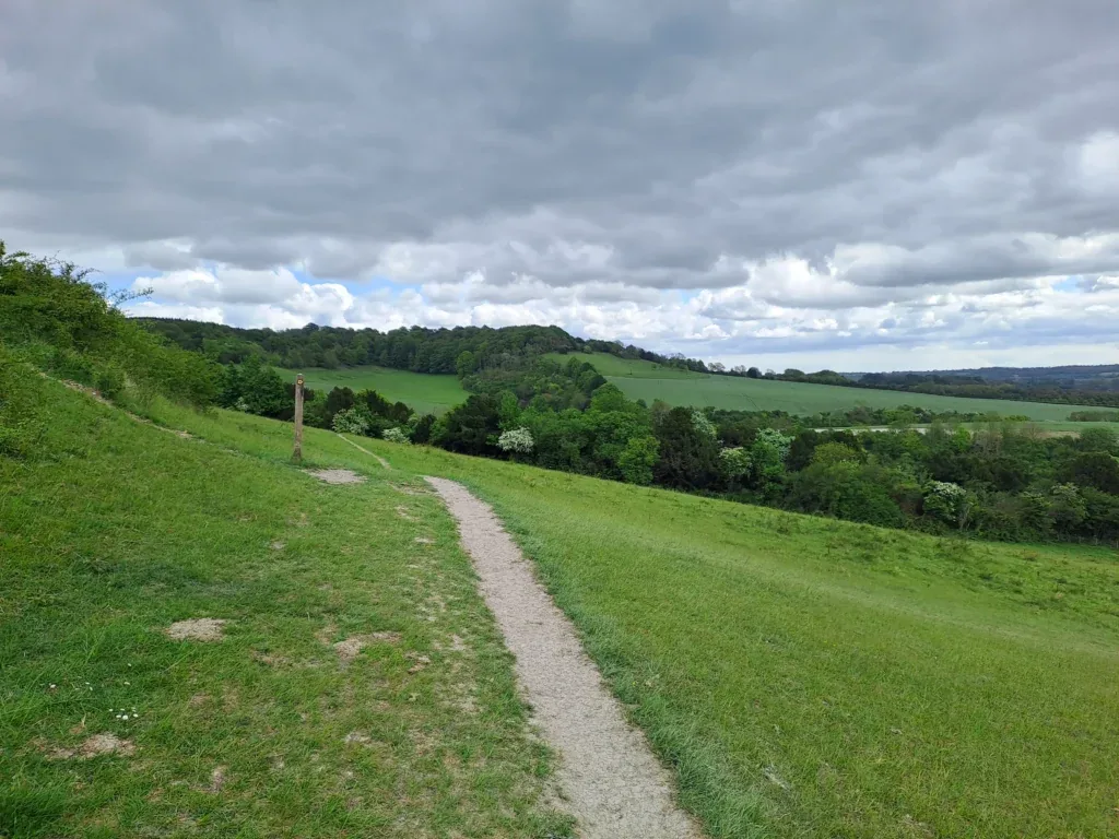
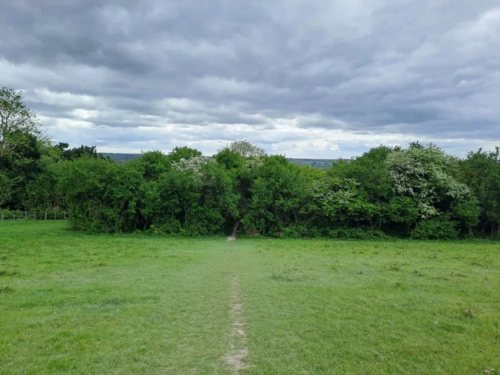
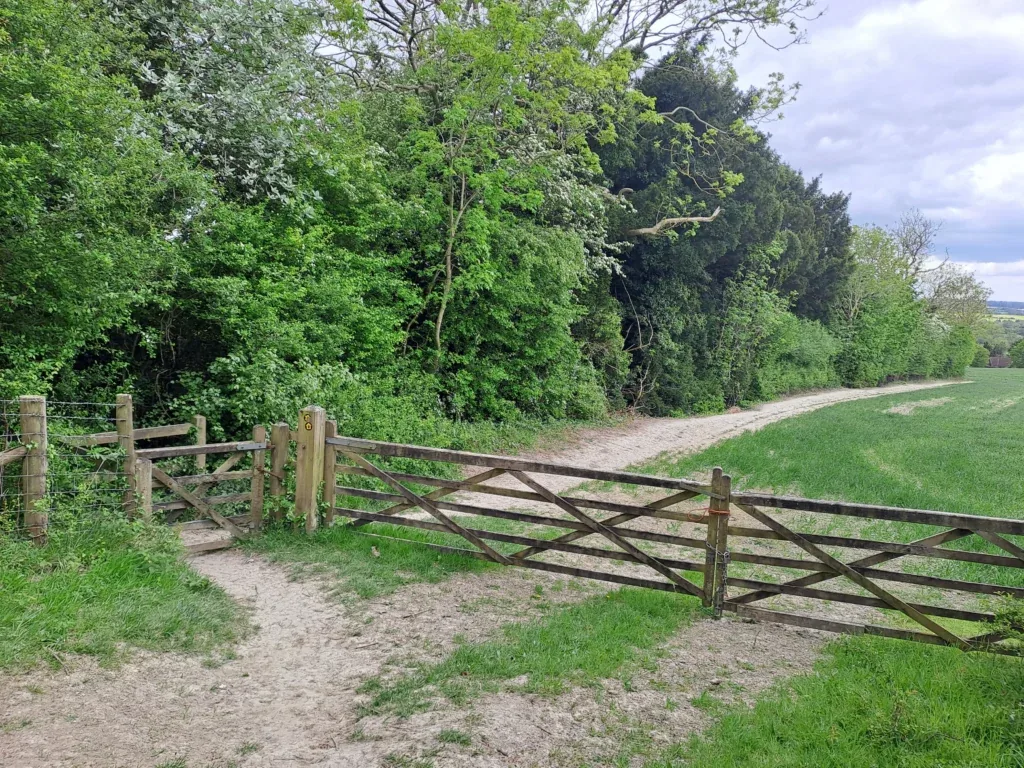
Once you’re on the Pilgrim’s Way road it’s very straightforward as you just keep going in a straight line. There are one or two intersections that you’ll cross between here and Lenham, but just keep going along this path for several miles. Depending on the time of year, you should see some lovely yellow flowers in the fields to the right of the path. Also, look out for the Brother Percival statue located along this stretch (just off to the left).
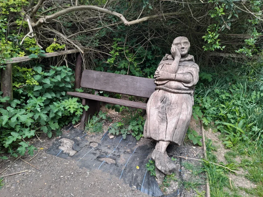
After a considerable distance, you’ll want to leave the Pilgrim’s Way road as it bends round to the right towards Lenham. Instead you’ll continue straight on following a dirt track with a field to your right. The path then connects further up with Faversham Road. When you reach Faversham Road, continue along it for a short while (watching out for cars) and you’ll see the metal North Downs Way marker just up on your left.
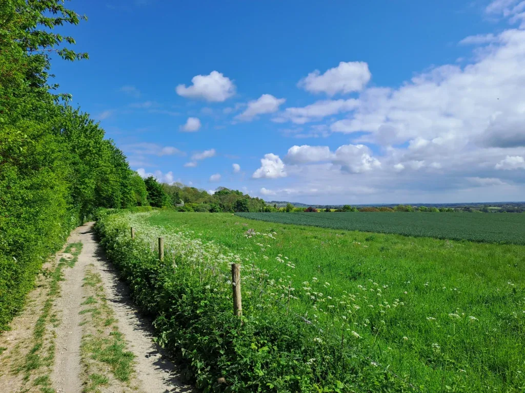
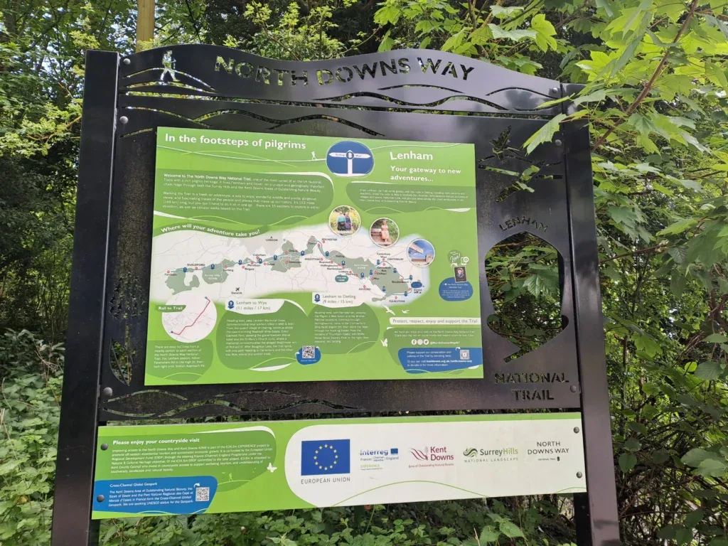
Well done! You’ve just completed the Detling to Lenham section of the North Downs Way National Trail. The nearest train station is Lenham, which is around a mile’s walk through the small town of Lenham. If you have time, you can stop off at one of the pubs in town. The station has easy transport links back to London as well as to Bearsted and Maidstone East. When you’re ready to continue, read our guide for the next section: walking from Lenham to Wye. If you’re considering staying overnight in Lenham, see below our dedicated section for accommodation near the end of this section of the North Downs Way.
Accommodation in Lenham
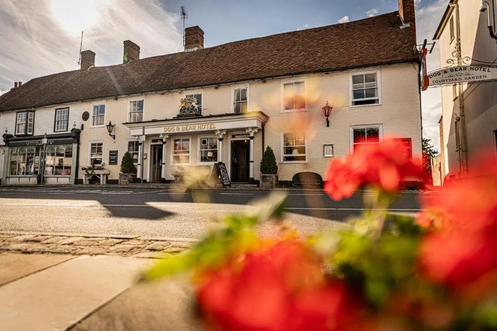
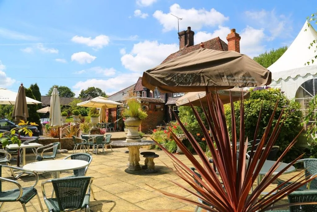
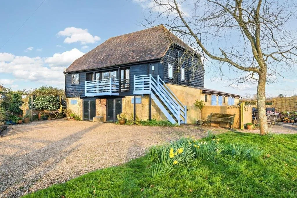
Lenham is a charming spot to break your journey, with a handful of characterful places to stay. We’ve picked out the best-placed options below to make your planning easier – booking through any of our links below helps support our site at no extra cost to you.
Next Section
Lenham to Wye (11 miles)
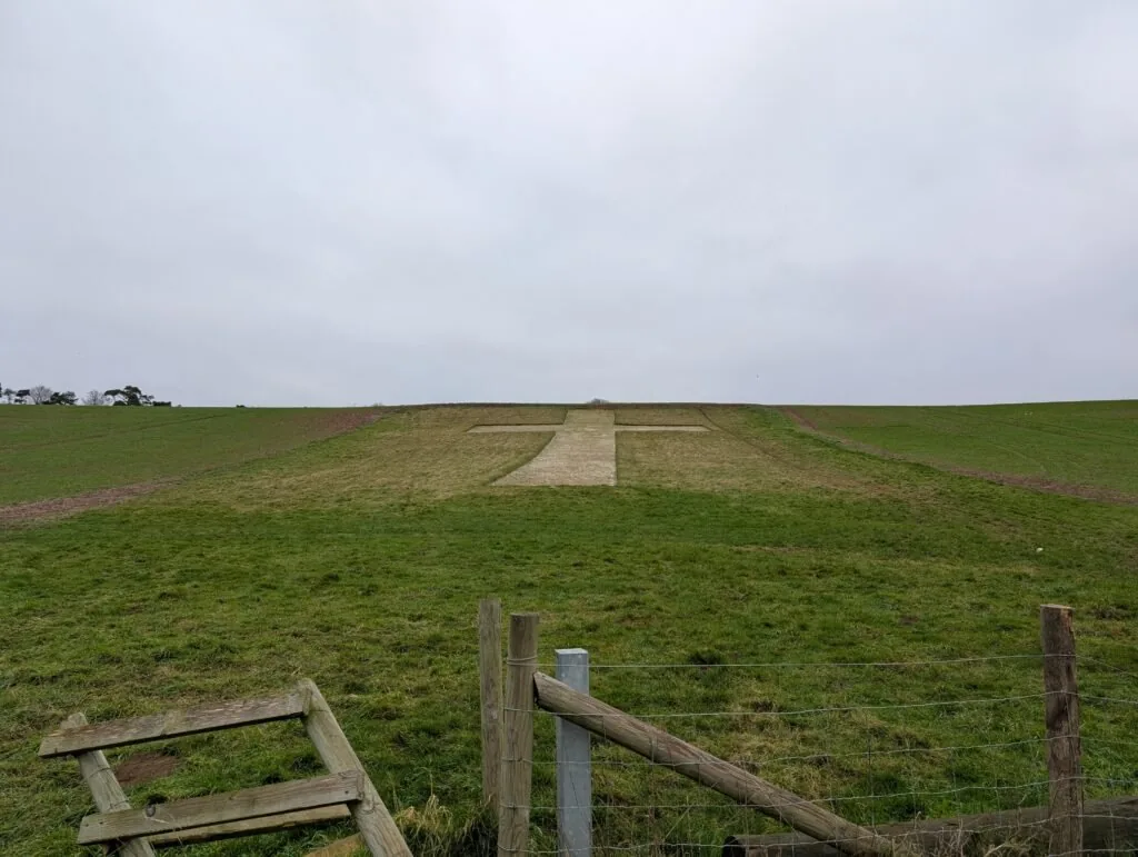
The Lenham to Wye stretch of the North Downs Way is one of the flattest, most straightforward sections of this National Trail. The distance comes in somewhere between 11 and 12 miles, although due to the lack of elevation gain, you’ll likely complete it much quicker than previous, more hilly sections like Detling to Lenham.
Previous Section
Cuxton to Detling (12.5 miles)
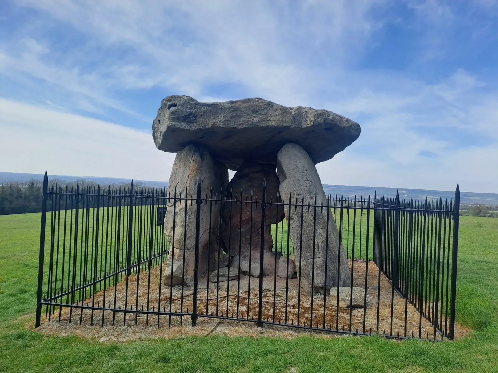
This section begins just outside Cuxton (around 1km away from Cuxton train station). You’ll begin by taking the path away from Bush Road and into the trees, passing a small sign for Mill Hill Wood. The path begins an immediate ascent as you climb up away from Cuxton, catching glimpses of the town to your right. After a bit of uphill walking, you’ll encounter a crossing to your left over some train tracks.