Walking the North Downs Way in Sections
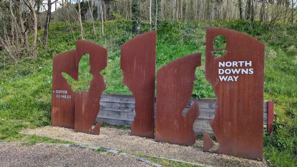
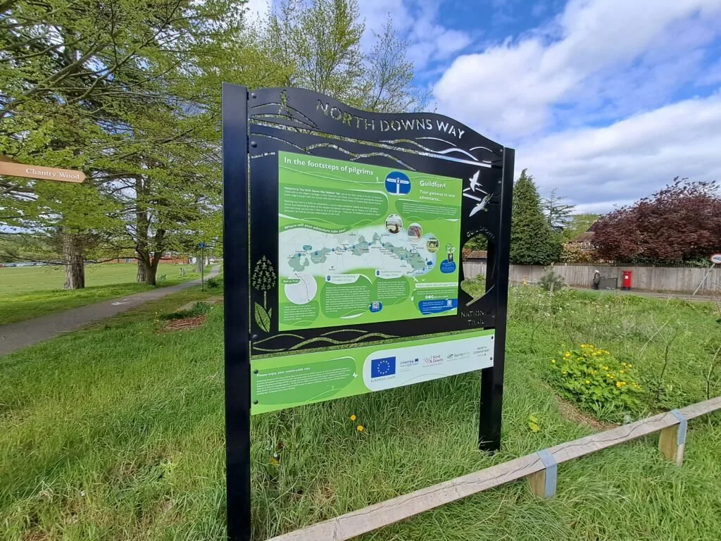
Spanning 153 miles from Farnham to Dover, the iconic North Downs Way walk promises a blend of history, diverse landscapes and quaint English villages. Whether you’re a seasoned trekker or an occasional stroller, a walk along the North Downs Way offers something for everyone. Below we’ve provided an overview of the entire route as well as tailored guides to each of the individual sections. Start planning your walk today and we’ll make sure you stay on the right path.
Route Sections & Distances
Farnham to Guildford (11 miles)
Walking from Farnham to Guildford marks the first section of the North Downs Way and encompasses a total distance of 12 miles. The section begins in the picturesque town of Farnham, Surrey, just off the side of the A31. To get to the starting point, head downhill from the station and turn right at the crossroads. This is where you’ll find the official trail start point marked by a large sign and notice board.
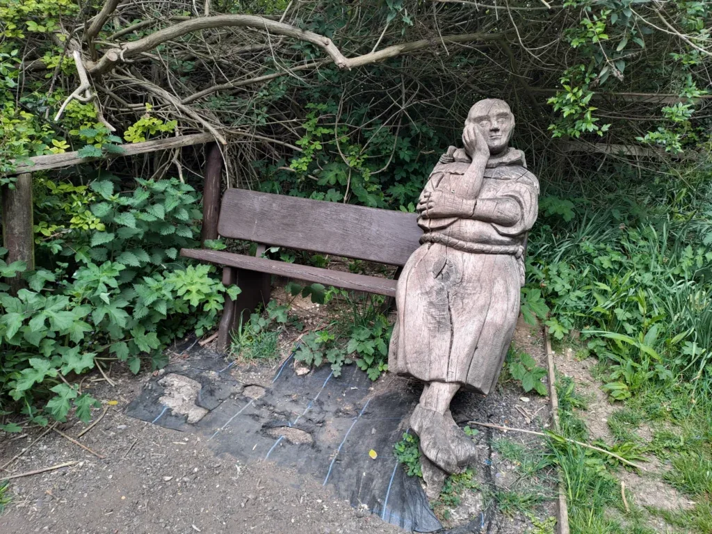
Guildford to Gomshall (8 miles)
After crossing Shalford Park and reaching the metal North Downs Way sign, you’ll want to cross the road and continue on down Pilgrim’s Trail. The wooden trail sign has been partly snapped off so this isn’t the most clear. Keep heading down Pilgrim’s trail before taking a slight right into Chantry Wood.
Gomshall to Dorking (7 miles)
The third section of the North Downs Way charts a course from Gomshall to Dorking. If you’re travelling by train then you’ll be able to reach the start by turning left from Gomshall Station before shortly turning left again and walking up Beggars Lane. The North Downs Way trail eventually intersects with Beggars Lane although be warned that this walk to the start involves a prolonged period of uphill walking that can be especially challenging right at the start.
Dorking to Merstham (10 miles)
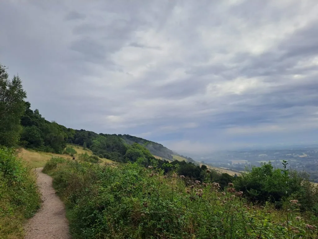
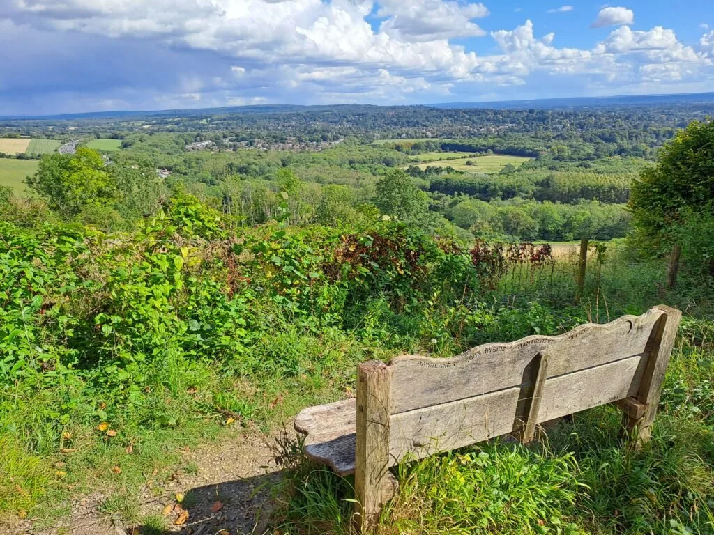
The fourth section of the North Downs Way, walking from Dorking to Merstham, is a particularly challenging section of the route. Spanning 10 miles across Box Hill and Reigate Hill, this is the perfect section for fans of steep inclines and frequently feeling out of breath. That being said, the views from this section are some of the most rewarding across the entire trail.
Merstham to Oxted (8 miles)
The route picks off right next to Merstham Cricket Club before heading towards Quality Street. When following the North Downs Way you’ll actually curve around the small village of Merstham as you take an immediate left here away from the village centre. You then briefly walk down Quality Street before turning diagonally right down a covered dirt path. This leads to a footbridge that crosses the busy M25 motorway.
Oxted to Otford (11.8 miles)
The next section of the North Downs Way begins just outside of Oxted and finishes right next to Otford train station. The official start point is designated by a metal sign in the top left of a field just across from the M25 and to the right of Limpsfield Lodge Farm. From the start point the route briefly follows alongside the Vanguard Way as you walk along the top of this field, keeping the forest to your left-hand side. At the midpoint of the field, you’ll notice a plaque marking where both routes cross the Greenwich Meridian Line.
Otford to Cuxton (15 miles)
The Otford to Cuxton stretch of the North Downs Way is quite an epic trek, totalling 15 miles (or 24.1km) from start to finish. The village of Wrotham serves as a nice midway point for this part if you want to break the section up into two smaller segments. The section begins right next to Otford train station, making this one of the most accessible start points for the North Downs Way.
Cuxton to Detling (12.5 miles)
This section begins just outside Cuxton (around 1km away from Cuxton train station). You’ll begin by taking the path away from Bush Road and into the trees, passing a small sign for Mill Hill Wood. The path begins an immediate ascent as you climb up away from Cuxton, catching glimpses of the town to your right. After a bit of uphill walking, you’ll encounter a crossing to your left over some train tracks.
Detling to Lenham (9.3 miles)
The Detling to Lenham section of the North Downs Way is 9.3 miles long. However, the first half of this has quite considerable elevation gain, with many up-and-down sections that can make it fairly challenging. You’ll begin where the previous section ends beside the A249 motorway. The nearest train station is Bearsted, which is a 2.2-mile walk from the start, so it’s worth being aware of that additional mileage.
Lenham to Wye (11 miles)
The Lenham to Wye stretch of the North Downs Way is one of the flattest, most straightforward sections of this National Trail. The distance comes in somewhere between 11 and 12 miles, although due to the lack of elevation gain, you’ll likely complete it much quicker than previous, more hilly sections like Detling to Lenham. You should also factor in that it’s about a mile walk from Lenham train station to this section’s trailhead just off Faversham Road.
Here, the North Downs Way splits into two distinct routes. One branch continues eastward, following along the Pilgrim’s Trail before reaching Canterbury and continuing along the Via Francigena towards Dover. The alternative southern route heads toward Folkestone via the Kent Downs. Both paths eventually converge again in Dover, where the North Downs Way finishes.
Via the Canterbury Loop
Wye to Chilham (7 miles)
This page is currently under construction.
Chilham to Canterbury (7.2 miles)
This page is currently under construction.
Canterbury to Shepherdswell (10.4 miles)
This page is currently under construction.
Shepherdswell to Dover (8.5 miles)
This page is currently under construction.
Via the Mainline Route
Wye to Folkestone (15.2 miles)
This page is currently under construction.
Folkestone to Dover (8.5 miles)
This page is currently under construction.