Key Information
- Distance10 miles (16.1 km)
- Elevation Gain430m
- StartDorking
- EndMerstham
- Time4–5 hours
- DifficultyChallenging
Weather Forecast for this Section
Route Directions
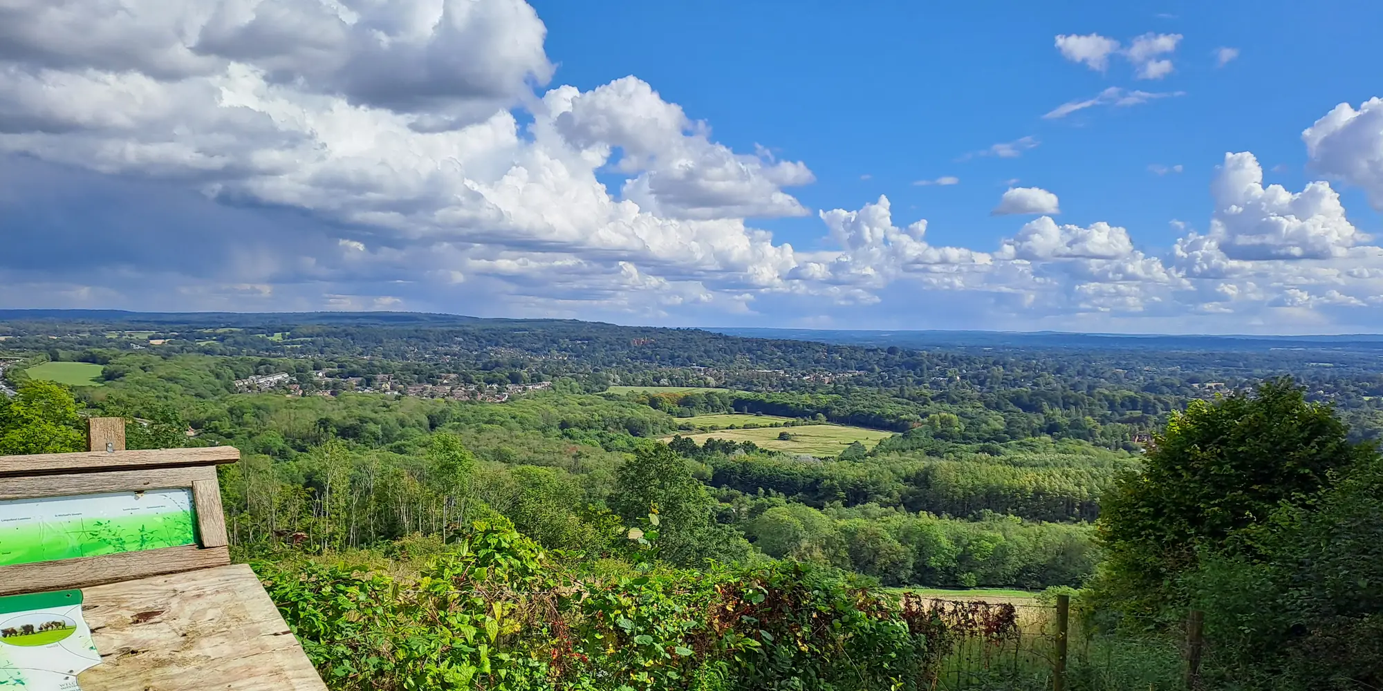
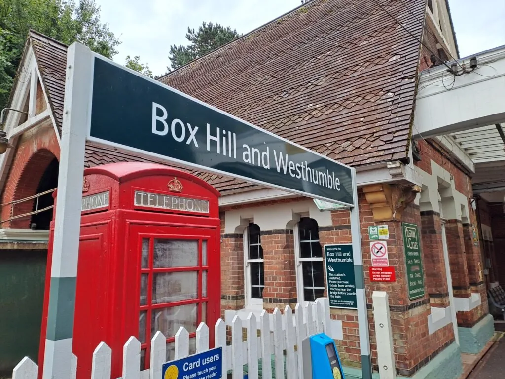
The fourth section of the North Downs Way, walking from Dorking to Merstham, is a particularly challenging section of the route. Spanning 10 miles across Box Hill and Reigate Hill, this is the perfect section for fans of steep inclines and frequently feeling out of breath. That being said, the views from this section are some of the most rewarding across the entire trail. The best starting point for this section is the Stepping Stones car park if you’re travelling by car. Otherwise, the Box Hill and Westhumble train station is only a short five-minute walk from the start, making it a very accessible section of the North Downs Way.
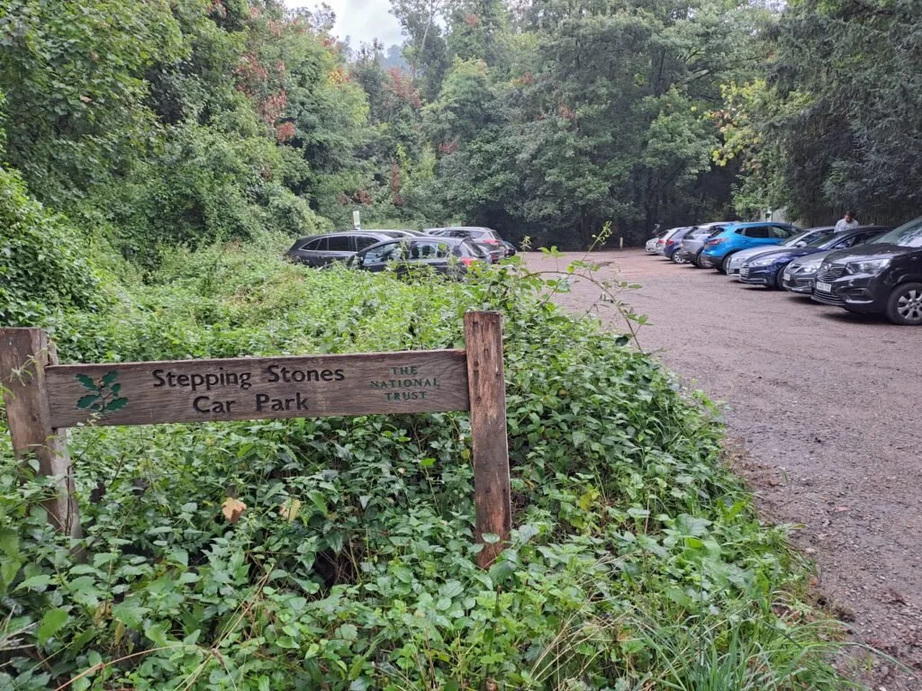
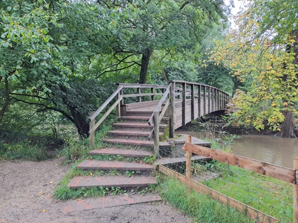
Picking up from the last section, Gomshall to Dorking, you’ll want to cross the A24 to enter the Stepping Stones car park on the other side. You’ll want to be extra careful crossing here, as this road can get very busy. You can always walk past the Dorking Wanderers football club and continue heading down to reach a crossing. You should see a sign for the North Downs Way route just outside the Stepping Stones car park. Just past the car park, you’ll have two options for how you want to cross the River Mole before continuing up Box Hill. The quickest route is to head right from the car park towards the Stepping Stones crossing. Depending on the weather, this might not be the best option as the stones can get very slippery. Also, as was the case when I went along the trail, heavy rainfall the night before resulted in the stones being completely submerged underwater, so that they were completely impassable. There’s an alternative route where you go left from the car park before heading straight through the woods for a bit over five minutes. You’ll then encounter a wooden footbridge that makes for a much easier crossing of the river.
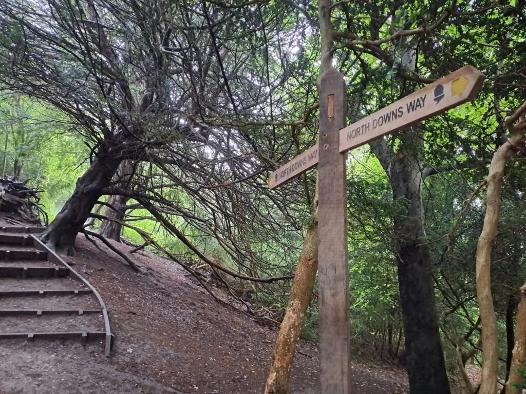
Both paths converge shortly after, as marked by a stone sign. Continue past this point and you’ll start the ascent up Box Hill. Signs for the North Downs Way trail are very frequent as you make your way to the Box Hill viewpoint. Just continue heading up the wooden steps. Fortunately, there are frequent benches along this section that help break up the climb, as it can be quite challenging. You’ll know you’ve reached the viewpoint when you get to a wooden kissing gate on your right-hand side. Continue through it and into a clearing overlooking the valley below. There are a variety of benches along here to take a well-earned break while taking in some beautiful panoramic views.
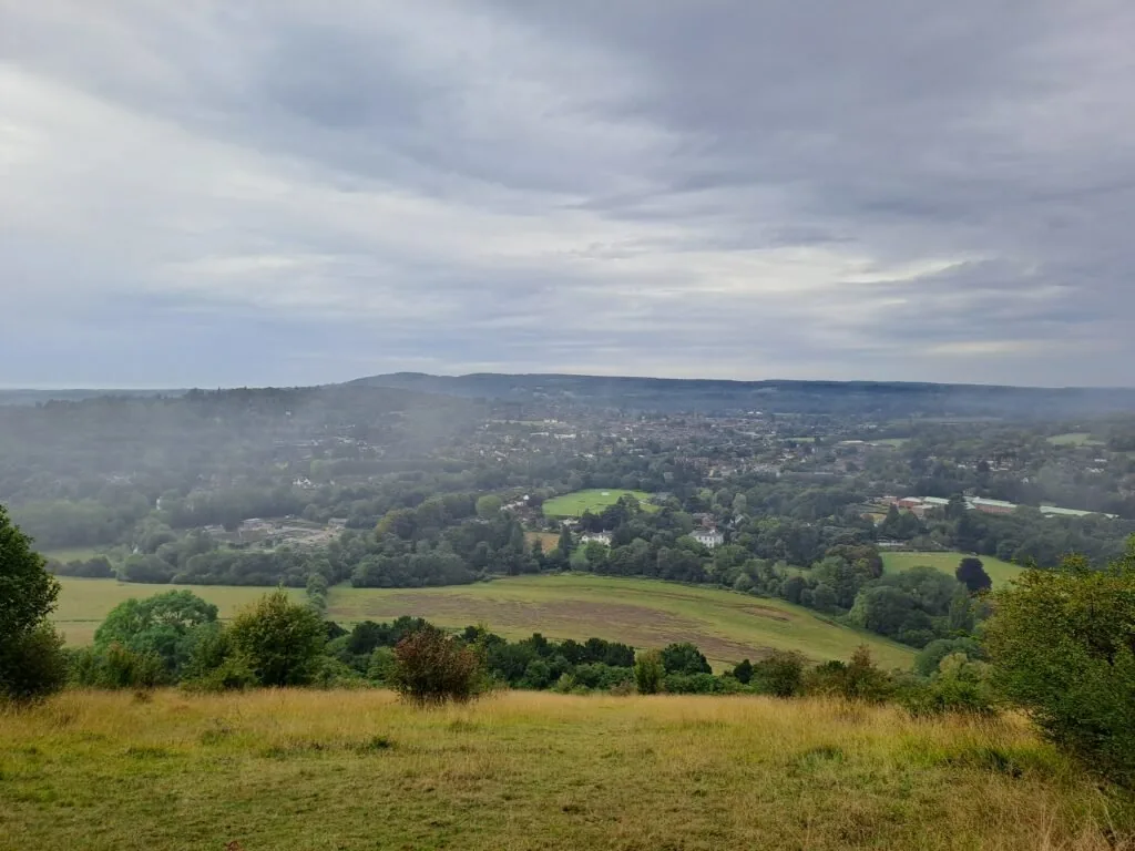
When you’re ready to press on, continue directly across the Box Hill viewpoint and through an unmarked kissing gate. North Downs Way signposts become quite scarce for a while now, but just continue heading straight with the valley on your right-hand side. The path should briefly bend to the left before taking you through a second kissing gate and into the woods. Be careful here as sections of the path can be quite narrow and uneven.
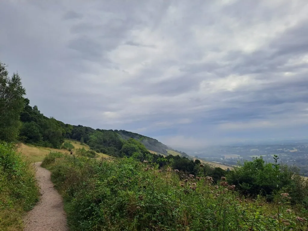
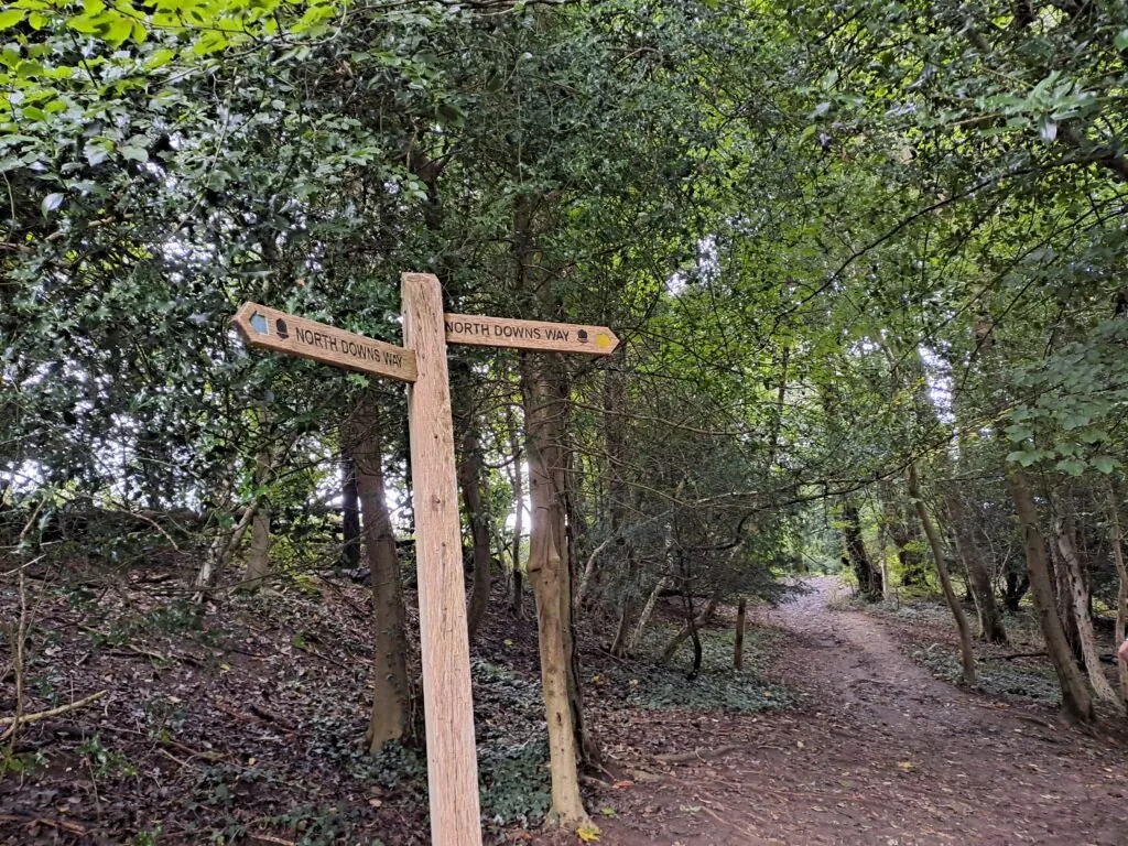
Once in the woods following the specific North Downs Way path can become quite difficult as there aren’t loads of markers and lots of diverging paths. As a general rule try to keep going in the general direction you were heading when going through the kissing gate. You’ll also be running more or less parallel to a valley with a wider path on your right hand side. If you keep this path in sight you can’t go too far wrong as the North Downs Way trail eventually crosses it further up the path.
From here on, signs for the North Downs Way become much more frequent, making navigation much easier. The only part that caused some confusion was after descending some wooden steps with a railing. At the bottom, you have to then turn left and head back up another hill to stay on the right path. There is a small North Downs Way icon on a post, although this isn’t the easiest to spot. Continue heading along following the North Downs Way signposts, often the route becomes less wooded from here on which offers some lovely vantage points of the valley below. You’ll know you’re staying on the right track as you’ll eventually encounter a signpost for Betchworth Quarry and Lime Works, slightly tucked away in a bush.
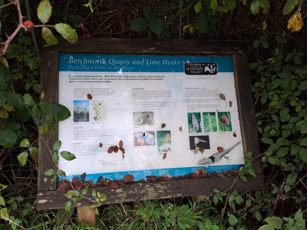
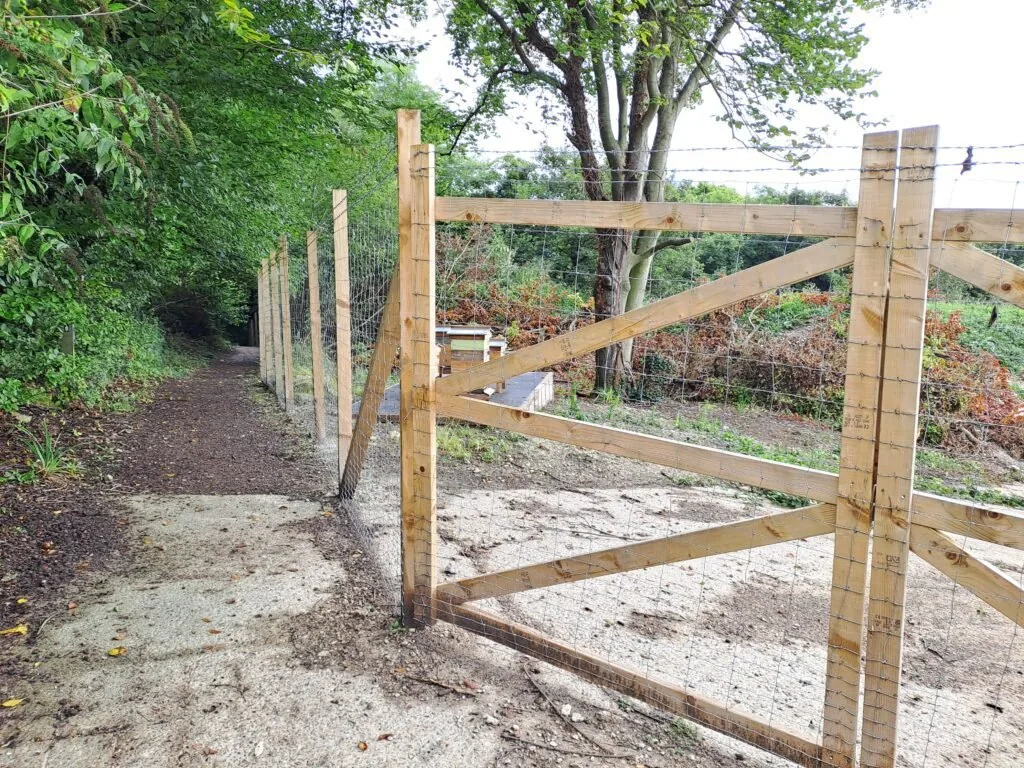
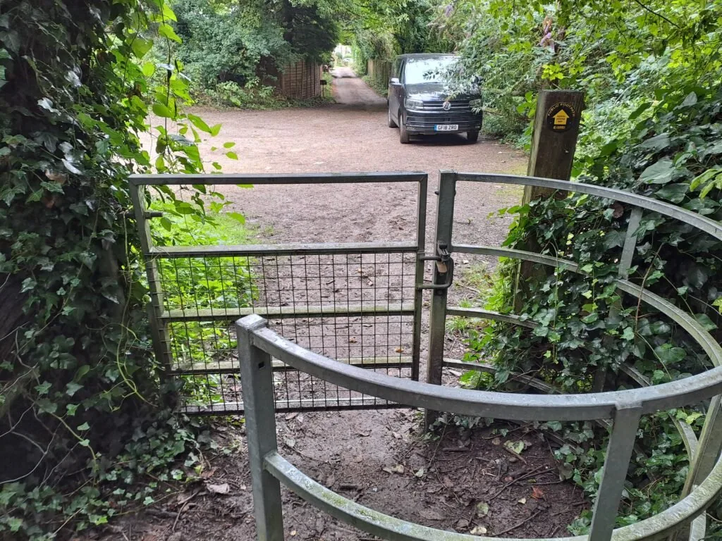
The path here can be very narrow and also covered with overgrown thorns, which can make it slightly challenging to get through in parts. This might not be there year-round, but there were also some beehives that you have to go past near here, which is something to bear in mind. Eventually, the path comes out on a metal kissing gate leading to The Coombe, a quiet residential road.
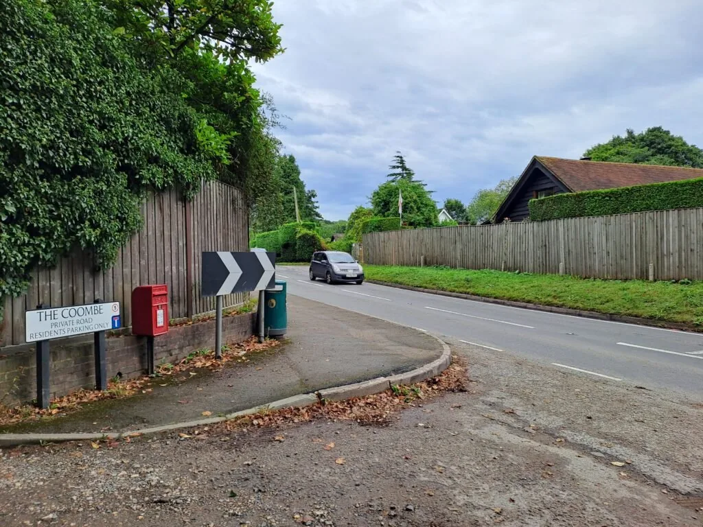
Keep heading down The Coombe for around five minutes before eventually taking a left onto Pebblehill Road. You’ll be walking along this road for quite a while, but be careful as it can be quite busy with fast-moving traffic (so best keep dogs on short leads). There’s also a section where the pavement disappears entirely, and so the path briefly redirects so that you can go on a path that runs parallel to the main road. Fortunately, this is very clearly marked with signs explaining the brief detour. When you return to the main road, you’ll then have to cross over to keep following the North Downs Way route.
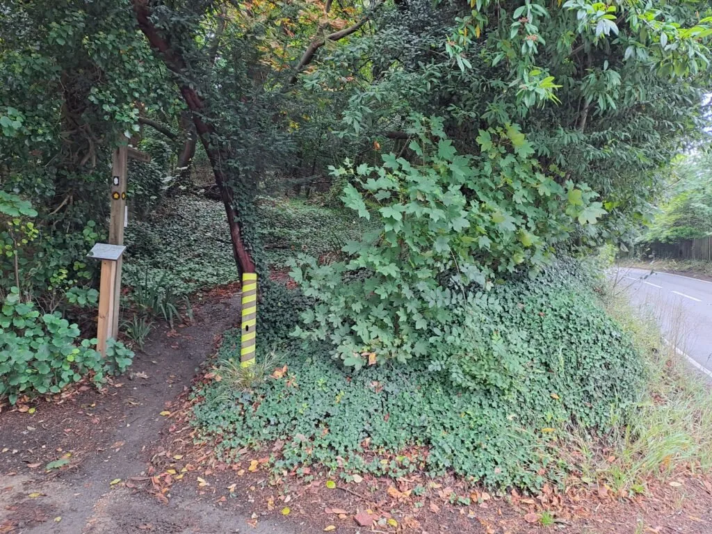
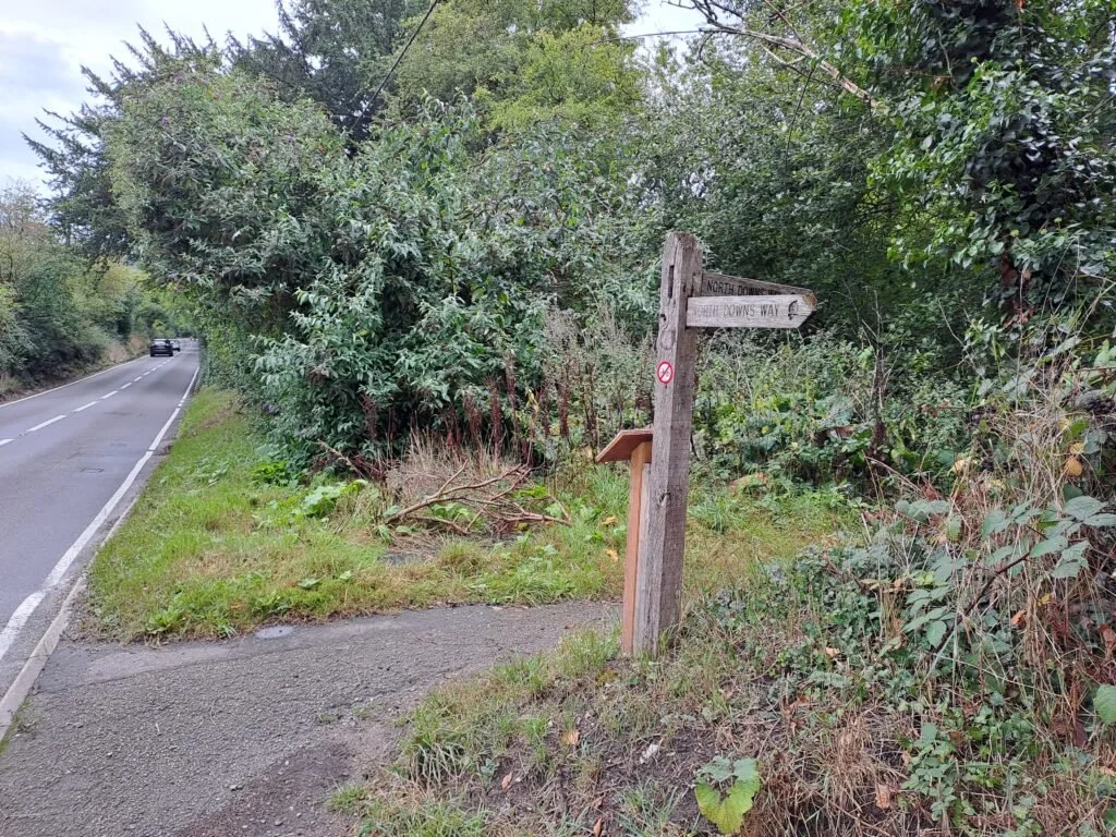
From here, the path heads away from the major roads and residential areas. You’ll continue for a bit longer with fields flanking either side. After passing a metal gate, you’ll take an immediate left to follow a narrow path that goes slightly uphill with hedges on either side. This route takes you up to the entrance of the Dowcombe Nature Reserve. From here, the route is very well signposted with fairly consistent narrow tracks that take you through the woods. You’ll also likely encounter a fair number of dog walkers along this stretch.
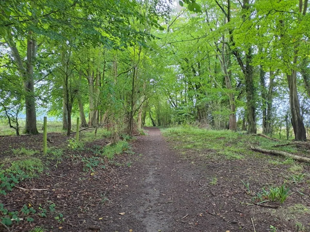
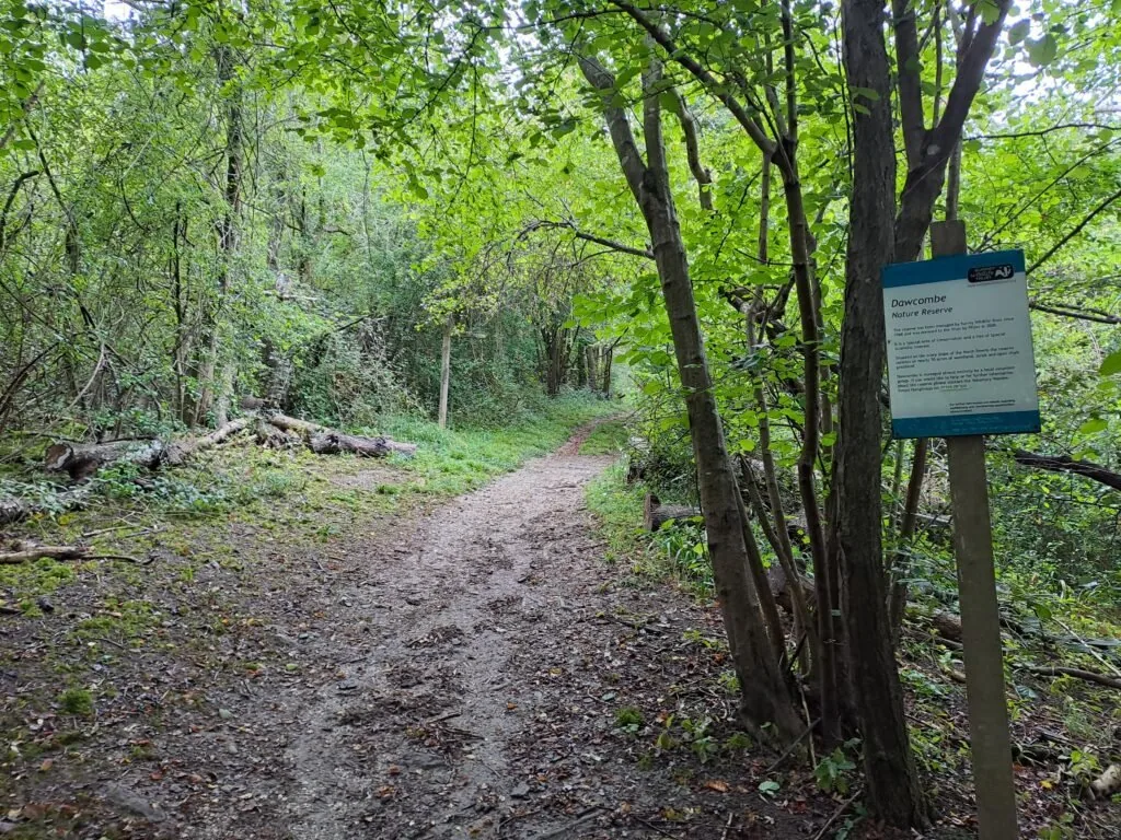
As you’re reaching the end of the Dowcombe Nature Reserve, the path begins a steep incline up Colley Hill. Unfortunately, there aren’t any benches to take a rest here, but just make sure to pace yourself. There’s also no handrails, so be extra careful of slippery terrain if you’re on the trail following poor weather. Once you reach the top, the path levels out and you briefly join a road (although this one is very quiet). Continue heading onwards before reaching a gate marking the entrance of Colley Hill.
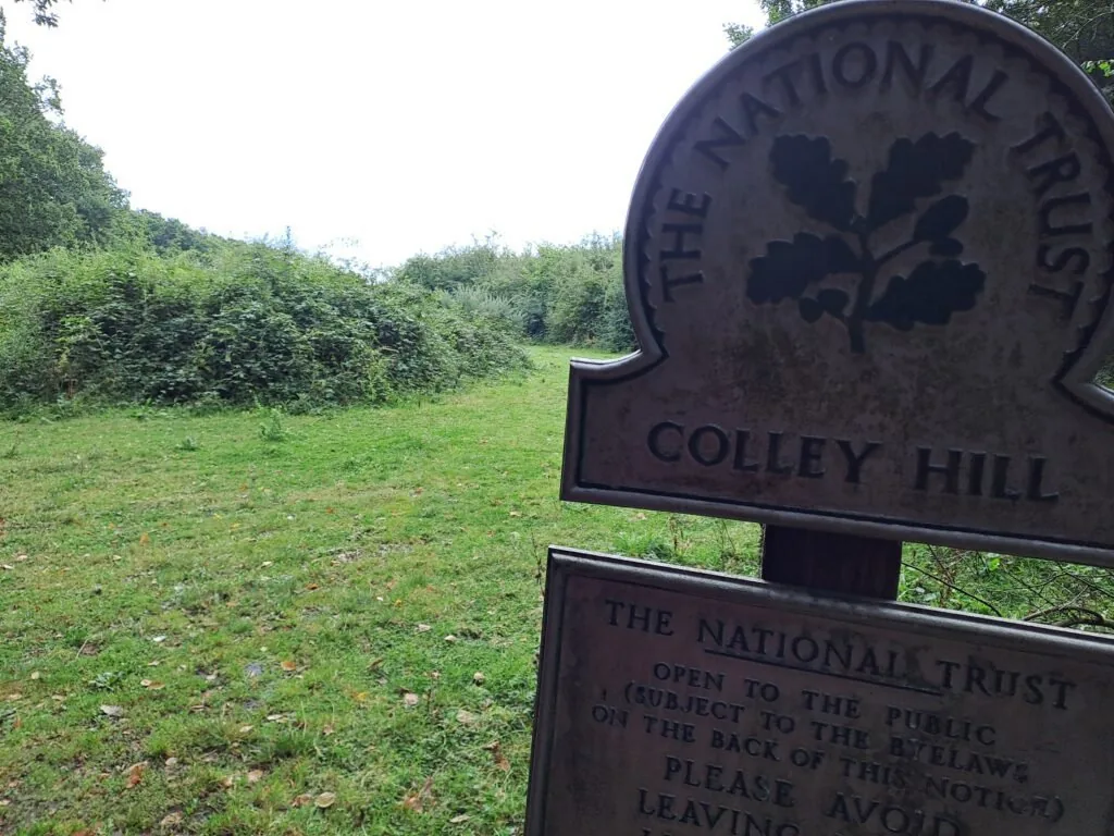
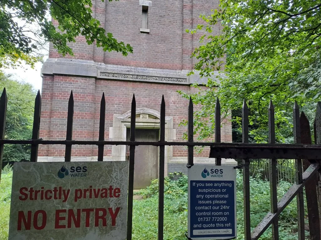
The path continues in a straight line for this section until you reach the Reigate Hill viewing point. Cattle are allowed to graze freely along this part, so be sure to greet any cows you happen to see along the way. On your left, you’ll also pass a large water tower operated by SES Water. Keep heading forward until the path opens up with the view from Reigate Hill. There are a couple of benches along here as well as a nicely designed seating area with a lovely mosaic ceiling design.
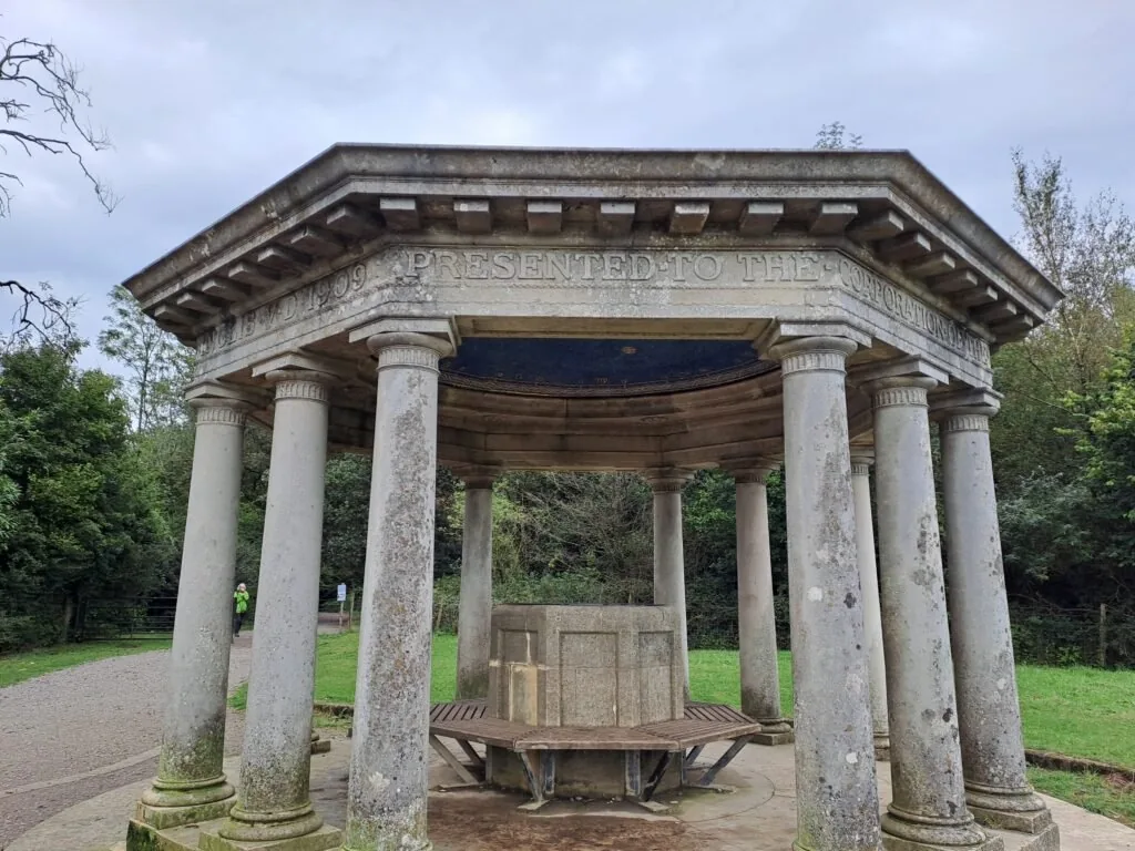

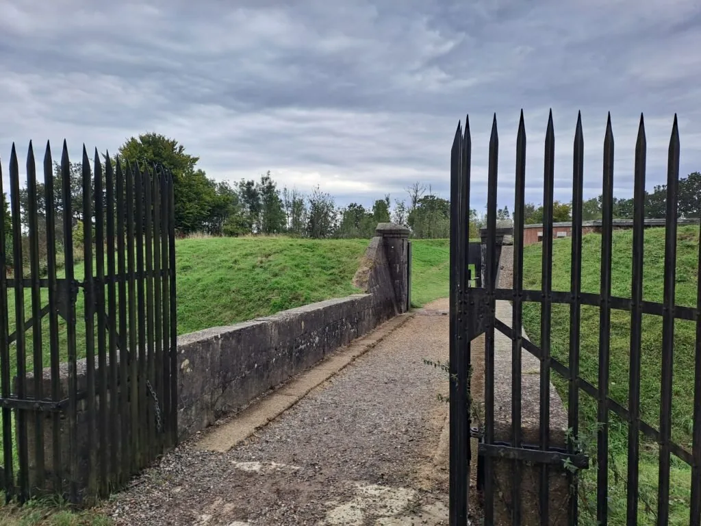
From the seating area, you’ll turn left and begin a gradual descent down Reigate Hill. Keep following the path and you’ll pass Reigate Transmitting Station on your left-hand side. A bit further up, you’ll see an entrance to Reigate Fort on your right. It’s worth checking out if you have the time. There are also some nice viewing points at the fort, which make it a nice place to stop for a quick break.
After passing Reigate fort, you’ll continue a gradual descent before crossing a white bridge over the A217. There’s a lovely café here called Junction 8, which is a great spot to take a break or grab a quick snack. When you’re ready to press on, cross directly over the clearing and cross Wray Lane. The North Downs Way route picks up right after this crossing and takes you onwards towards Gatton Park. From here, North Downs Way wooden signposts are frequently replaced with metal posts indicating the correct direction, so watch out for those.
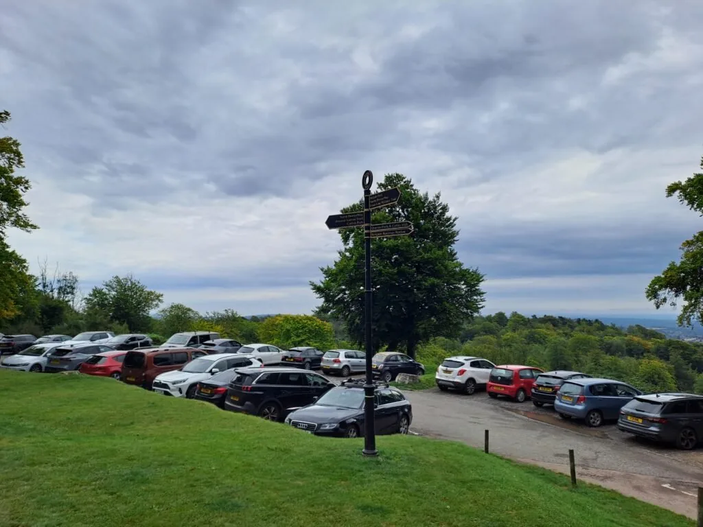
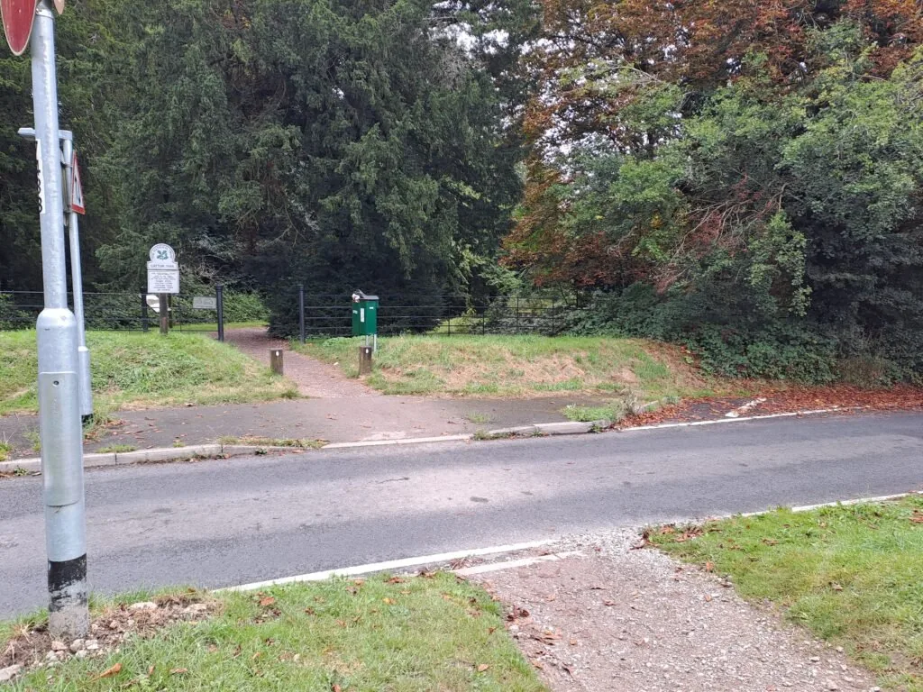
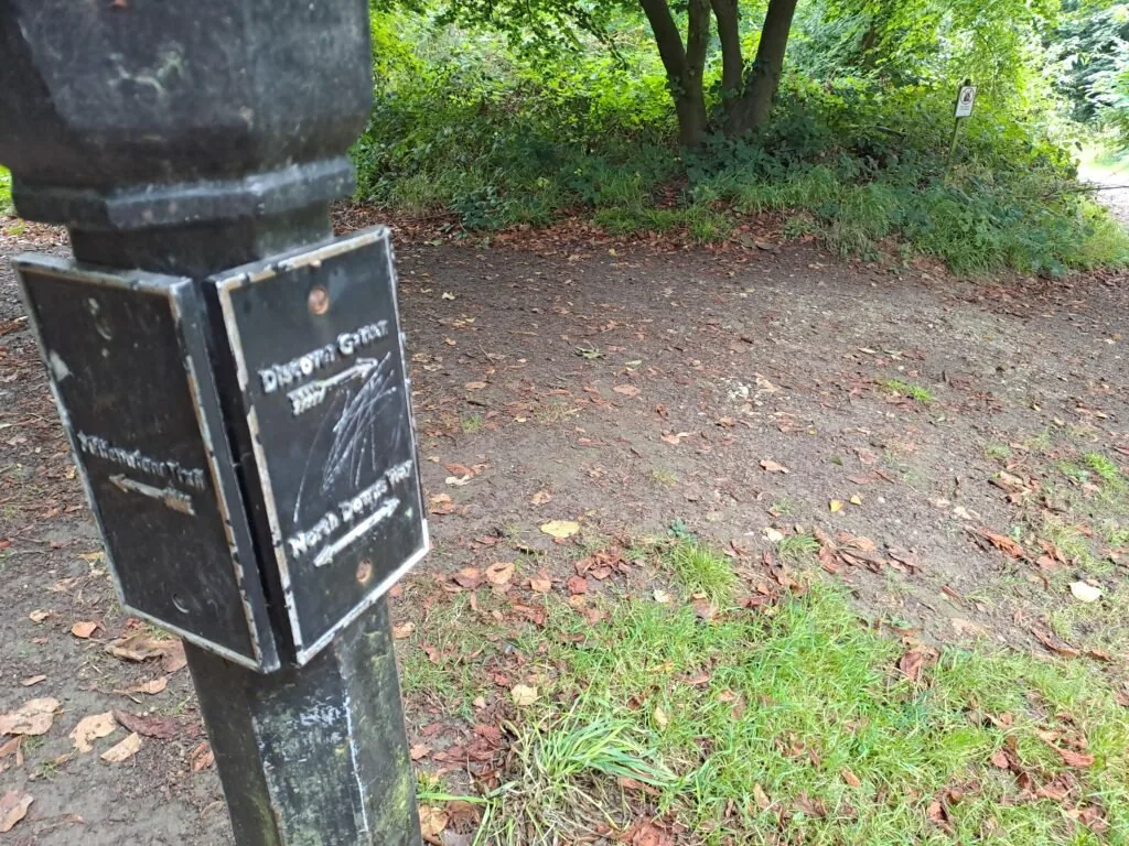
From here, the route slowly descends towards Gatton Park. Keep following the black North Downs Way markers to stay on the right path. You’ll eventually reach the outskirts of the Royal Alexandra & Albert School. You’ll also see the Millennium Stones monument on the right. To stay on the North Downs Way route, you’ll have to circumnavigate the private school. Fortunately, there is a sign indicating the best path to take so that you stay on the right track. You’ll effectively want to follow the path as it curves round to the right, keeping the first hockey pitches then rugby pitches on your left.
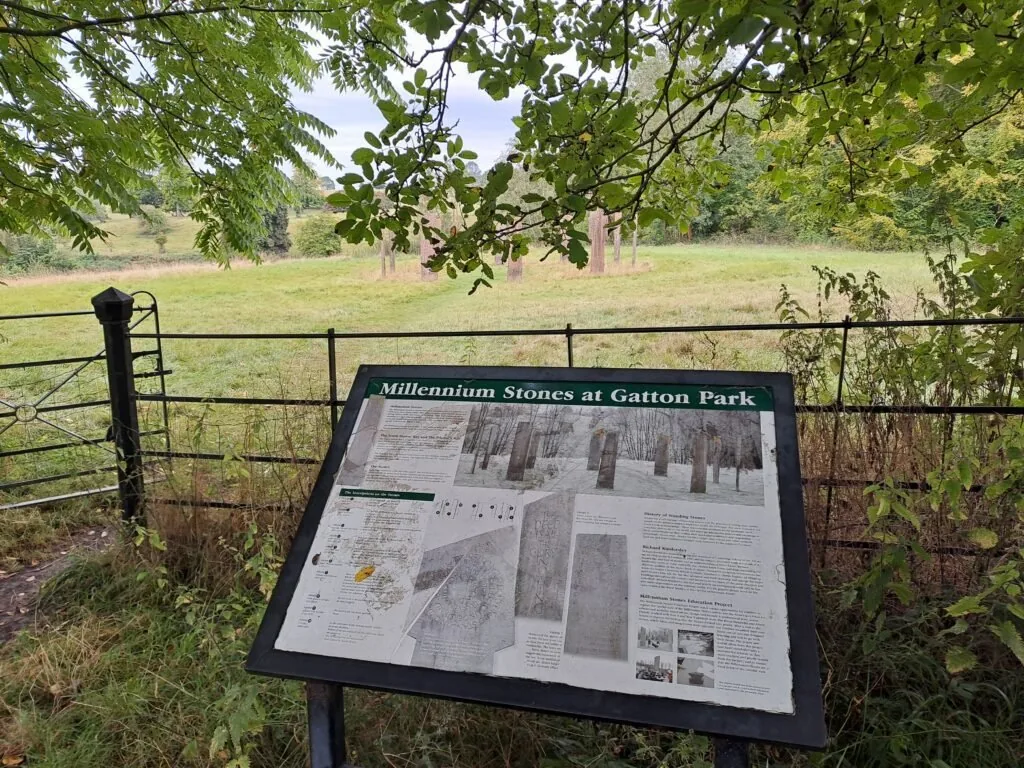
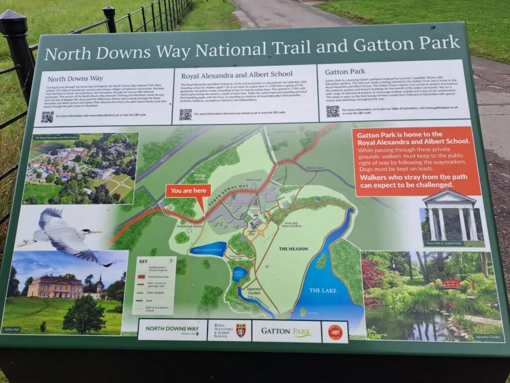
After around fifteen minutes of walking, the route will take you directly out of the school grounds and connect you with a main road. At the road, head to the right to continue on the right track. Be careful here as there is a section of the road with no pavement, meaning you need to keep a lookout for oncoming traffic. The path then takes a left back into the woods in the direction of Reigate Golf Club.
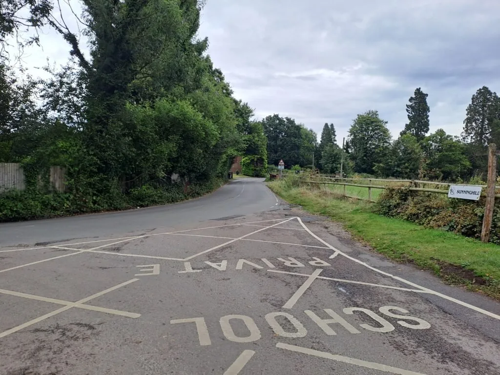
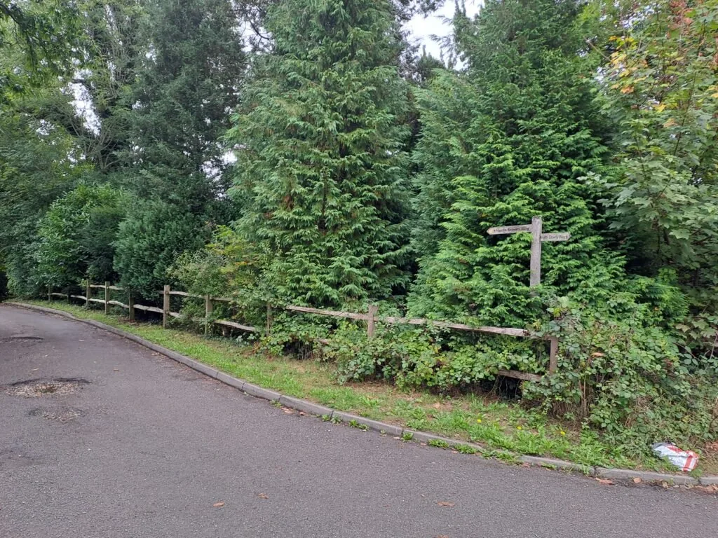
The last portion of this section takes you directly across Reigate Golf Club. There’s a clearly marked path right through that keeps you off any of the golf greens and out of the way of flying golf balls. You’ll want to aim in the general direction of Merstham Cricket Club, where this portion of the North Downs Way trail ends. Just past a hedge on your left, you’ll see another metal signpost indicating the official end of this section.
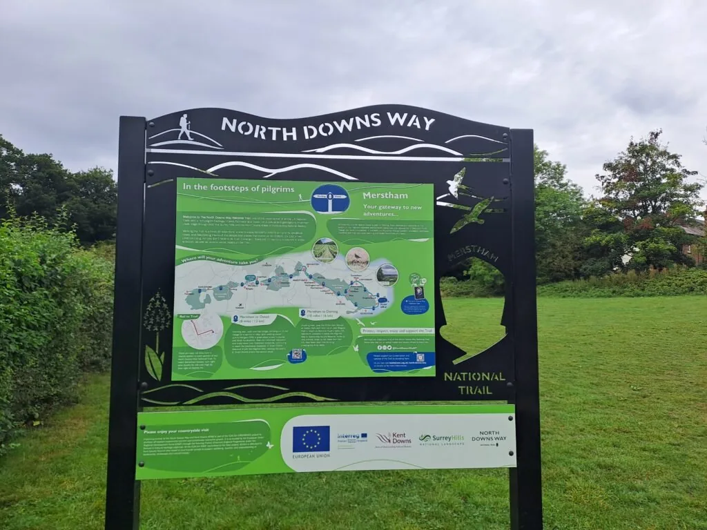
Congratulations! You’ve just completed quite a tough section of the North Downs Way national trail. Those hills are nothing to be laughed at. When you’re feeling sufficiently rested, you can press on to the next section: walking from Merstham to Oxted. If you’re looking to head home, the quickest route is to head towards Merstham Station, which is a short 5-minute walk. If you’re considering staying overnight in Merstham, see below our dedicated section for accommodation near the end of this section of the North Downs Way.
Accommodation in Merstham
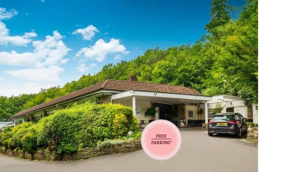
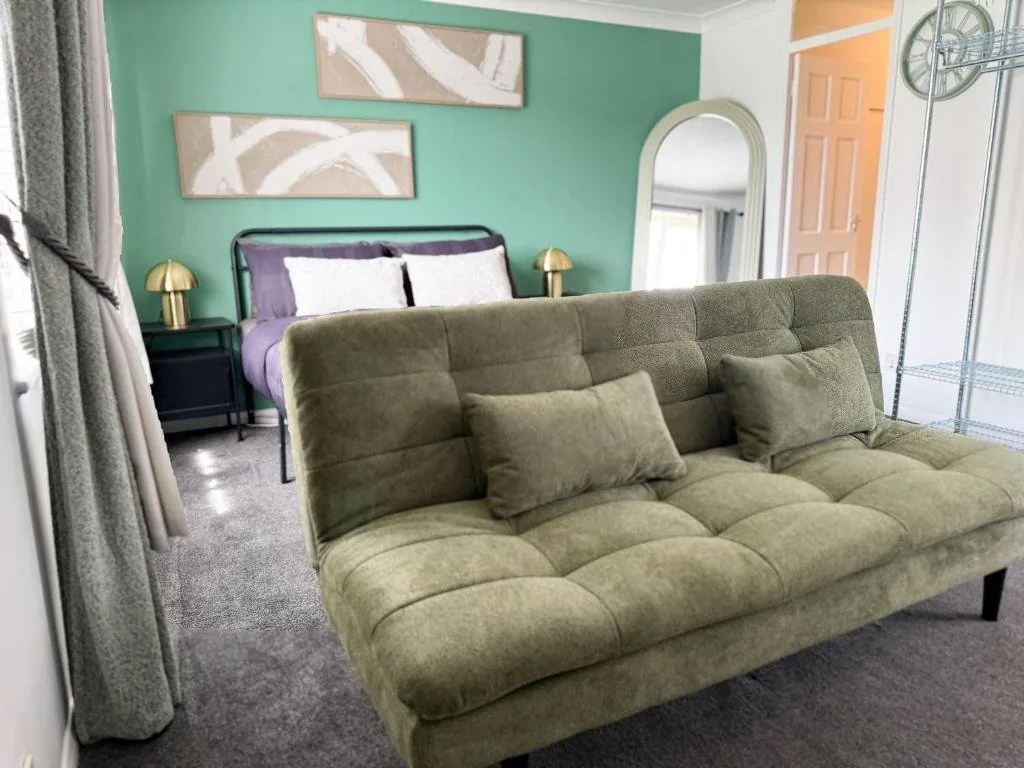
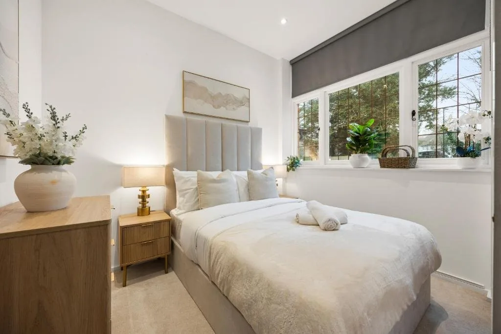
Merstham and nearby Redhill offer a good range of places to stay if you’re breaking your walk here. We’ve picked out the best-placed options below to make your planning easier – booking through any of our links below helps support our site at no extra cost to you.
Next Section
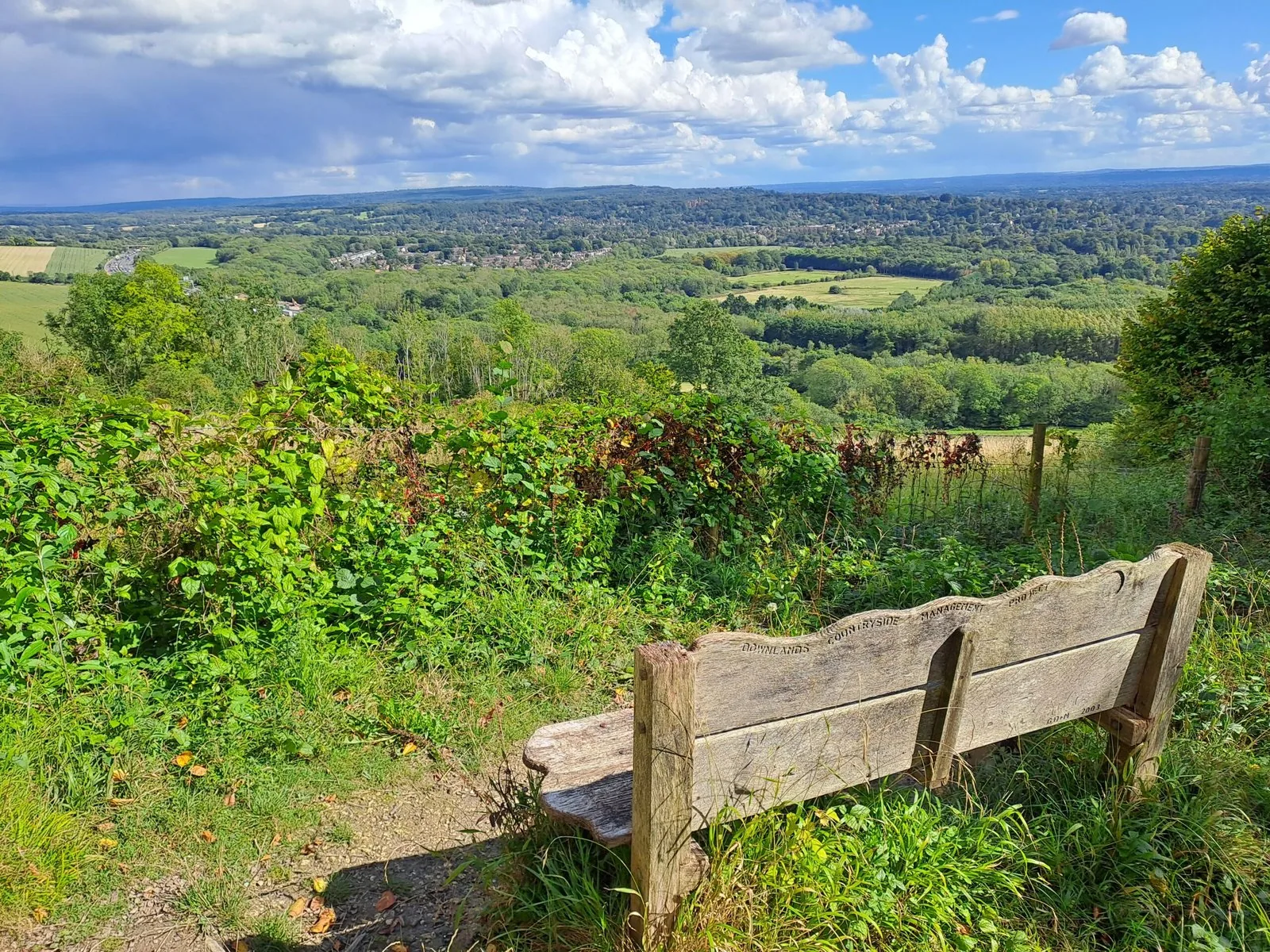
Merstham to Oxted (8 miles)
The route picks off right next to Merstham Cricket Club before heading towards Quality Street. When following the North Downs Way, you’ll actually curve around the small village of Merstham as you take an immediate left away from the village centre. You then briefly walk down Quality Street before turning diagonally right down a covered dirt path. This leads to a footbridge that crosses the busy M25 motorway.
Previous Section
Gomshall to Dorking (7 miles)
The third section of the North Downs Way charts a course from Gomshall to Dorking. If you’re travelling by train then you’ll be able to reach the start by turning left from Gomshall Station before shortly turning left again and walking up Beggars Lane. The North Downs Way trail eventually intersects with Beggars Lane although be warned that this walk to the start involves a prolonged period of uphill walking that can be especially challenging right at the start.