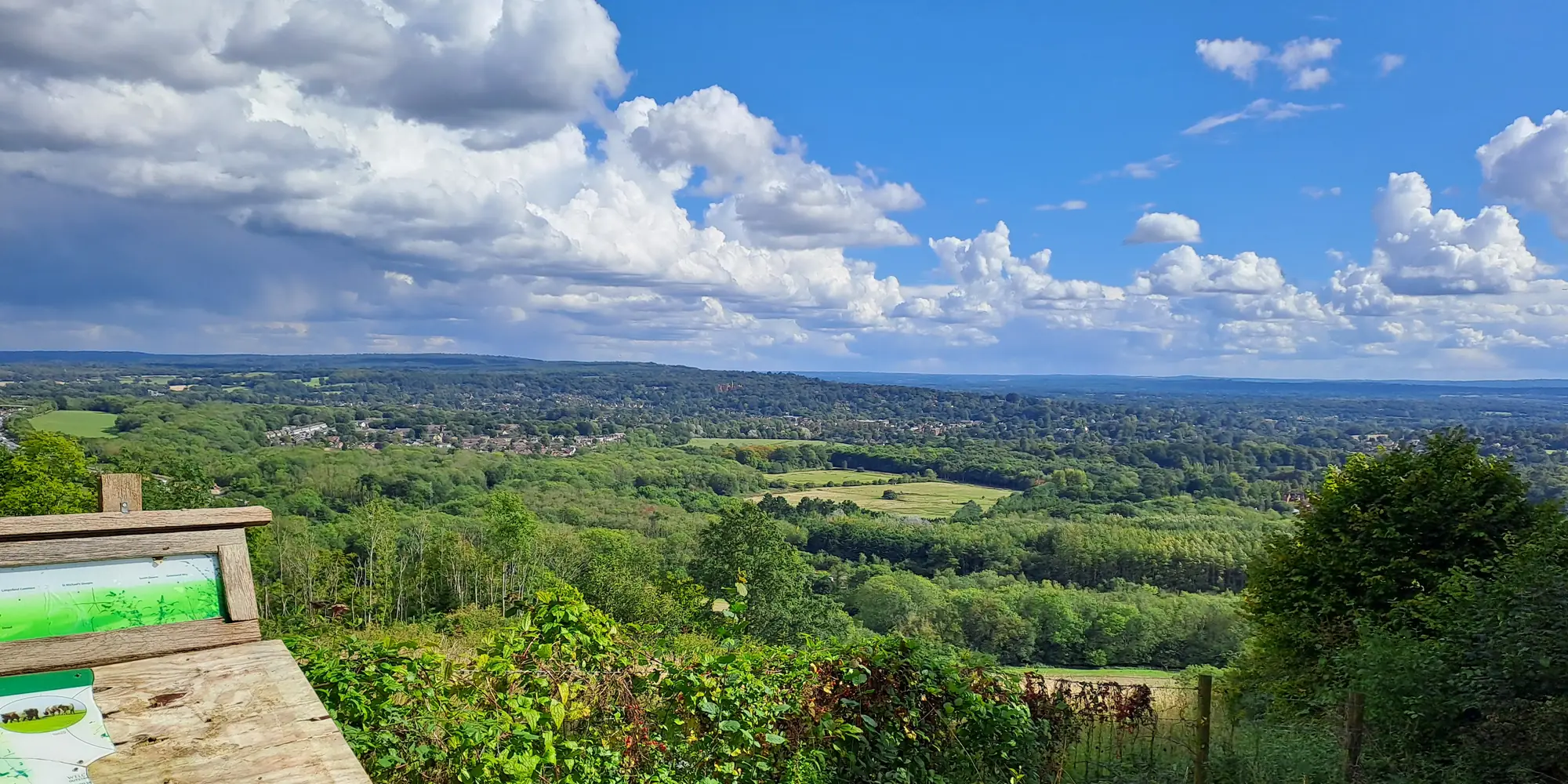
Set out on the North Downs Way National Trail, renowned as one of the UK’s most scenic routes for walkers, cyclists and runners alike. Experience a wealth of stunning landscapes, hearty local cuisine and welcoming accommodation options for your next excursion along the North Downs. However you aim to complete your journey, we’ll help keep you on the right path.
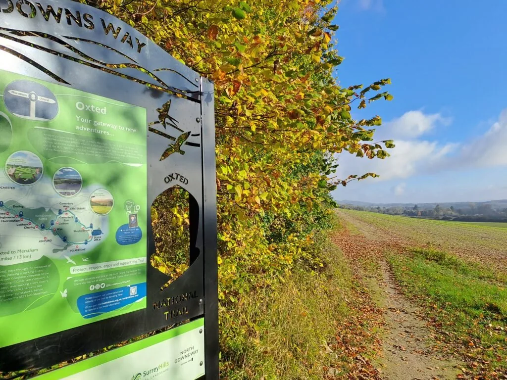
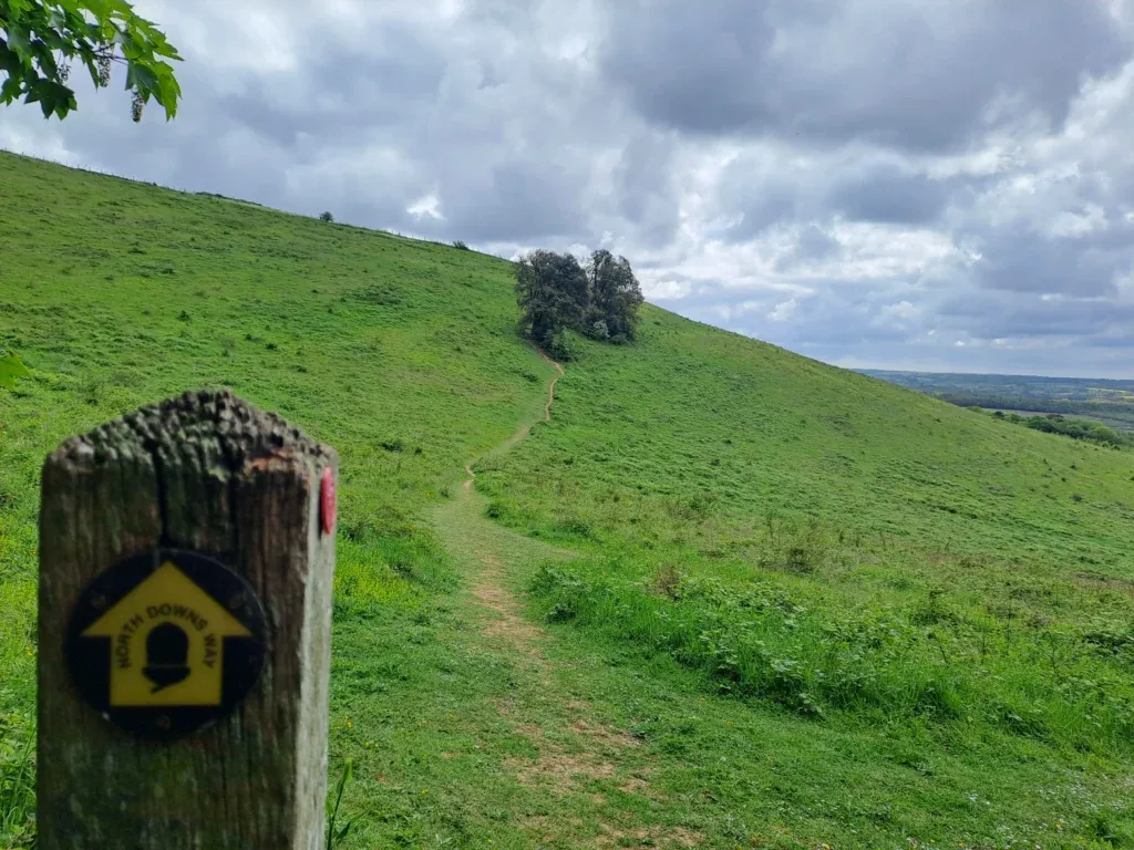
The North Downs Way is a much beloved national trail in the UK, spanning approximately 153 miles through the scenic countryside of southern England. Beginning in Farnham, Surrey, and ending in Dover, the trail offers a diverse range of landscapes, including rolling hills, charming villages, and lush woodlands. The trail is very well maintained with frequent wooden markers as well as a variety of signs along the way providing context on the many areas of outstanding beauty.
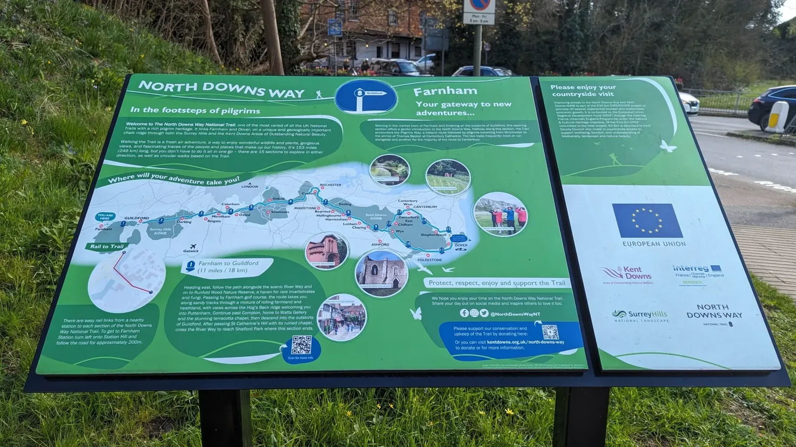
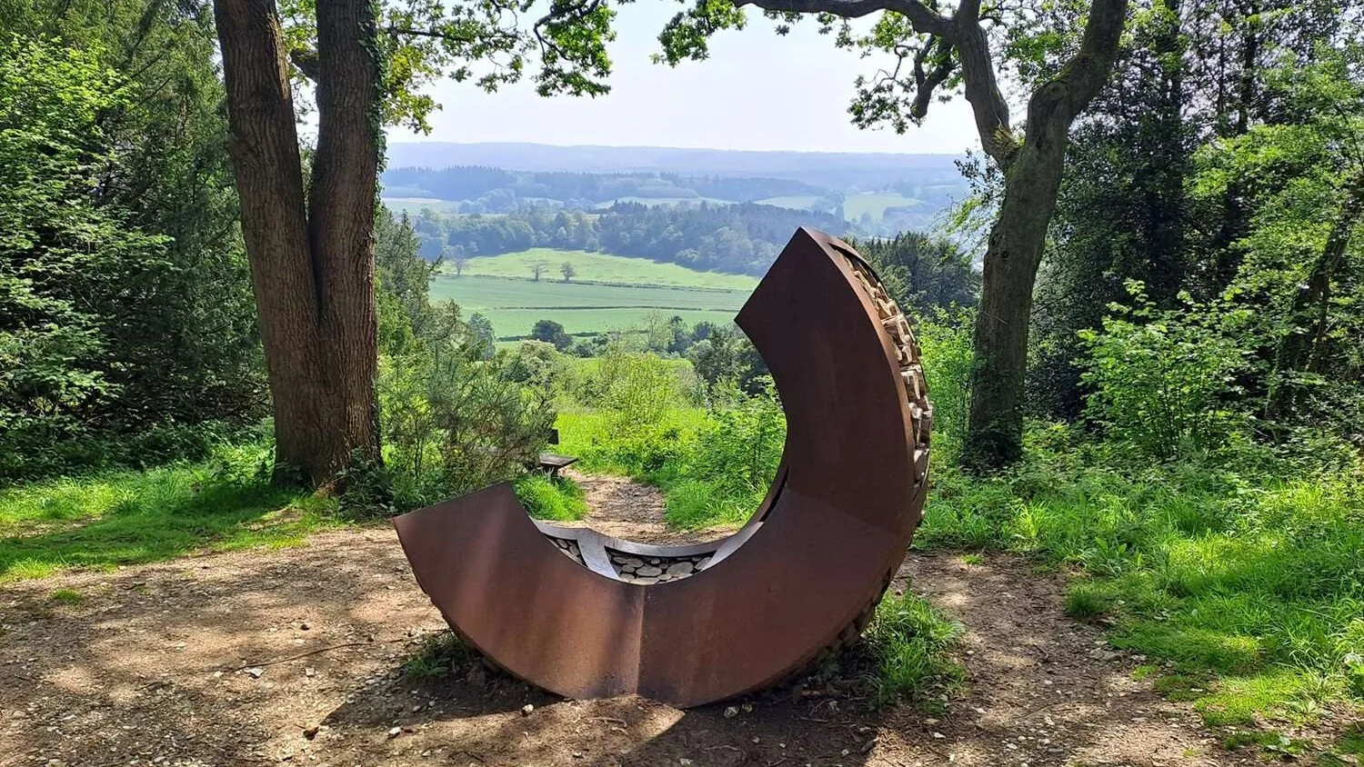
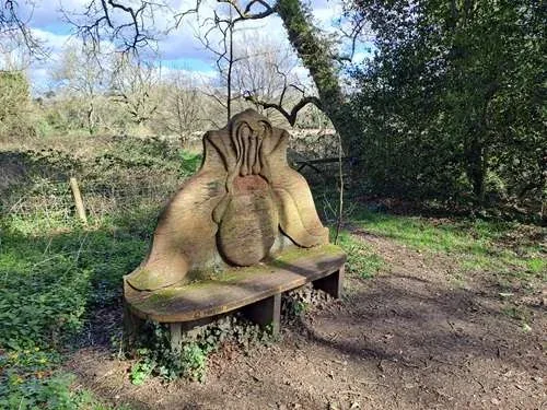
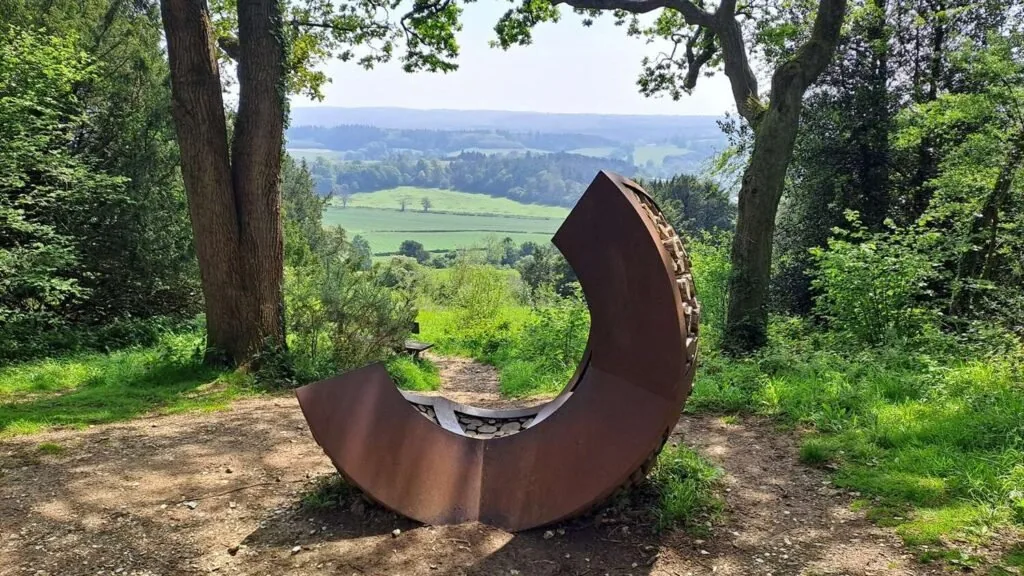
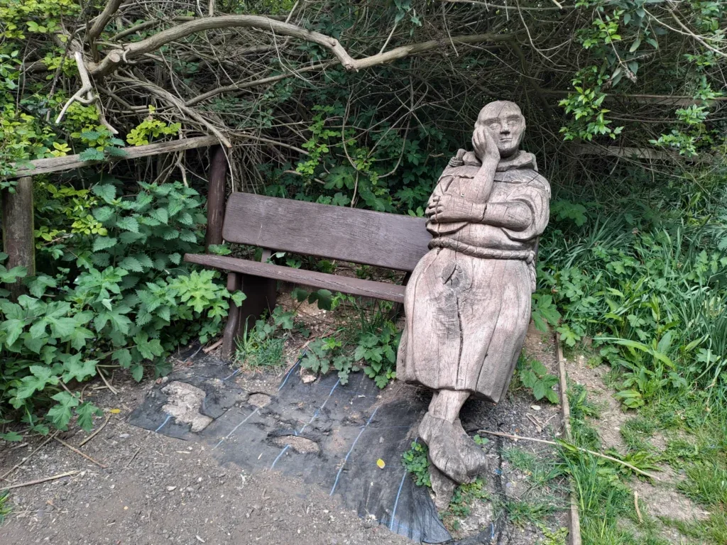
Whether you’re beginning in Farnham or Dover, hikers can enjoy panoramic views of the surrounding countryside and encounter various historical landmarks, such as medieval castles and ancient churches. The trail also passes through many areas of natural beauty, including chalk grasslands and serene river valleys. If you keep an eye out you’ll also likely encounter a selection of art installations and sculptures dotted along the route.

Accommodation
Discover your perfect retreat along the North Downs Way National Trail with our curated selection of accommodation options. Whether you prefer the charm of a rustic bed and breakfast or the comfort of a quaint countryside inn, we have options to suit every taste and budget. Explore our handpicked accommodations and make the most of your North Downs Way adventure.

Pubs & Restaurants
Fuel your adventure with the diverse culinary offerings found along the North Downs Way. From cosy cafes serving freshly brewed coffee to charming pubs offering hearty meals, there’s no shortage of delicious options to refuel and refresh. Browse our top recommendations for food and drink offerings along the North Downs Way National Trail.
Transport
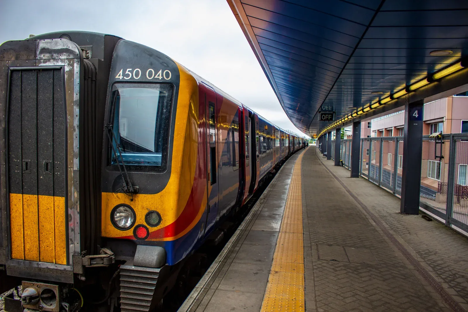
Whether you’re arriving from afar or simply navigating between trailheads, we’ve compiled the best transport options to keep you moving smoothly. From convenient bus and train routes to bicycle rentals and local taxi services, there’s a range of transportation options available to help get your adventure started.
North Downs Way Overview
A quick-reference guide to every section of the trail, from Farnham to Dover. At Wye the route splits in two – via Canterbury or via Folkestone – before reconverging at the finish.
| Section | Distance | Description | Guide |
|---|---|---|---|
| Farnham to Guildford | 11 miles | Starts at Farnham’s official trailhead and heads through Surrey countryside toward Guildford. | View Guide |
| Guildford to Gomshall | 8 miles | Crosses Shalford Park and climbs onto the Pilgrims’ Trail through Chantry Wood. | View Guide |
| Gomshall to Dorking | 7 miles | A steady uphill climb from Gomshall station up Beggars Lane onto the North Downs. | View Guide |
| Dorking to Merstham | 10 miles | One of the toughest sections, crossing Box Hill and Reigate Hill with steep climbs and big views. | View Guide |
| Merstham to Oxted | 8 miles | Skirts Merstham village and crosses the M25 via footbridge on the way to Oxted. | View Guide |
| Oxted to Otford | 11.8 miles | Follows the Vanguard Way and crosses the Greenwich Meridian Line en route to Otford. | View Guide |
| Otford to Cuxton | 15 miles | A long stretch via Wrotham, one of the most accessible sections thanks to Otford station. | View Guide |
| Cuxton to Detling | 12.5 miles | Climbs away from Cuxton through Mill Hill Wood with a crossing over the railway. | View Guide |
| Detling to Lenham | 9.3 miles | Considerable elevation gain in the first half, starting near the A249. | View Guide |
| Lenham to Wye | 11 miles | One of the flattest, easiest sections of the whole trail. | View Guide |
| Via the Canterbury Loop | |||
| Wye to Chilham | 7 miles | The start of the Canterbury Loop branch heading east from Wye. | Coming soon |
| Chilham to Canterbury | 7.2 miles | Continues the Canterbury Loop into the cathedral city. | Coming soon |
| Canterbury to Shepherdswell | 10.4 miles | Heads on from Canterbury towards Shepherdswell. | Coming soon |
| Shepherdswell to Dover | 8.5 miles | The final leg of the Canterbury Loop, finishing in Dover. | Coming soon |
| Via the Mainline Route | |||
| Wye to Folkestone | 15.2 miles | The southern branch from Wye through the Kent Downs to Folkestone. | View Guide |
| Folkestone to Dover | 8.5 miles | The final leg of the Mainline Route, finishing in Dover. | Coming soon |
Interesting Facts About the North Downs Way
Highest Point: The highest point on the trail is Botley Hill in Surrey, which reaches an elevation of 267 meters (876 feet) above sea level.
Historical Significance: The trail follows parts of the ancient Pilgrims’ Way, a route taken by pilgrims in the Middle Ages traveling from Farnham to the shrine of Thomas Becket in Canterbury Cathedral. This is also the pilgrimage that frames Chaucer’s famous text, The Canterbury Tales. The North Downs Way also passes through several historically significant sites, including Neolithic burial chambers, Roman roads, and medieval castles.
Areas of Outstanding Natural Beauty: The trail traverses two designated Areas of Outstanding Natural Beauty – the Surrey Hills and the Kent Downs. These areas are recognized for their scenic landscapes, offering a variety of picturesque photo opportunities for hikers and cyclists alike.
Walking and Running Events: The North Downs Way hosts various walking and running events, including ultra-marathons like the North Downs Way 50 and the North Downs Way 100, attracting participants from all over the country.
Environmental Initiatives: Efforts are ongoing to maintain and preserve the trail’s natural and historical features. Conservation projects aim to protect the unique chalk grassland habitats and the diverse species that live there.
Frequently Asked Questions
Car Parks Along The North Downs Way
North Downs Way Trail Gallery
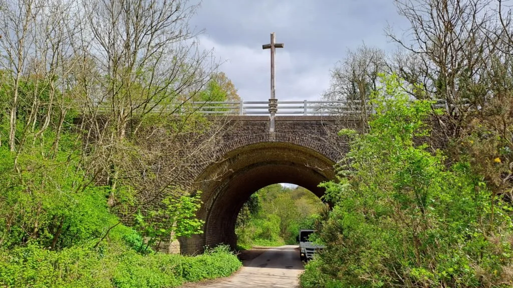
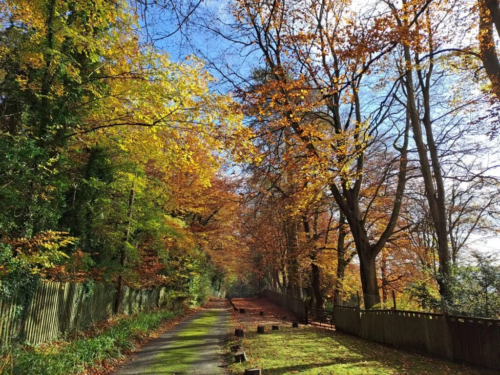
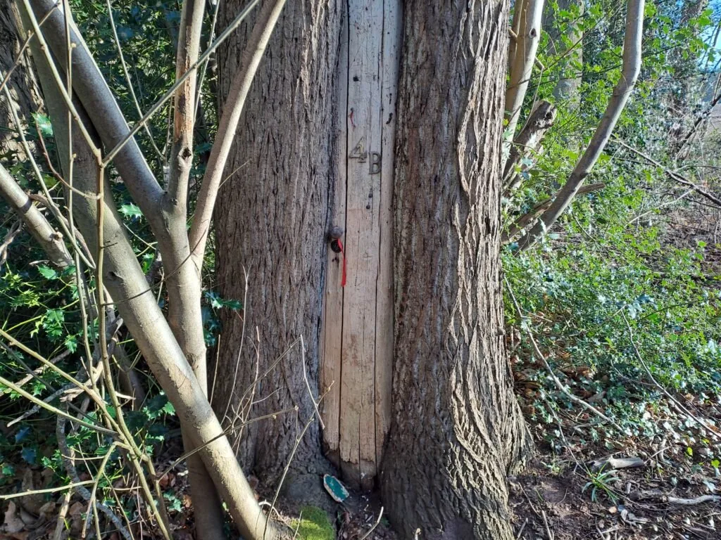
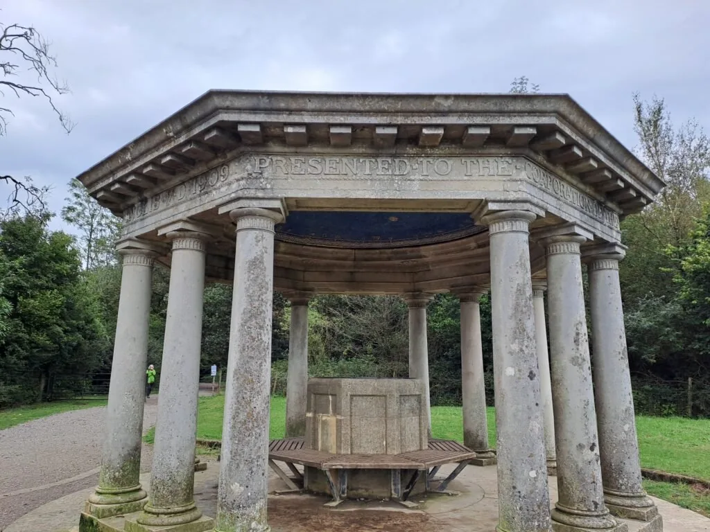
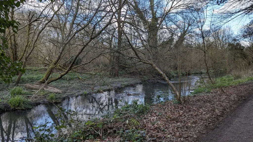
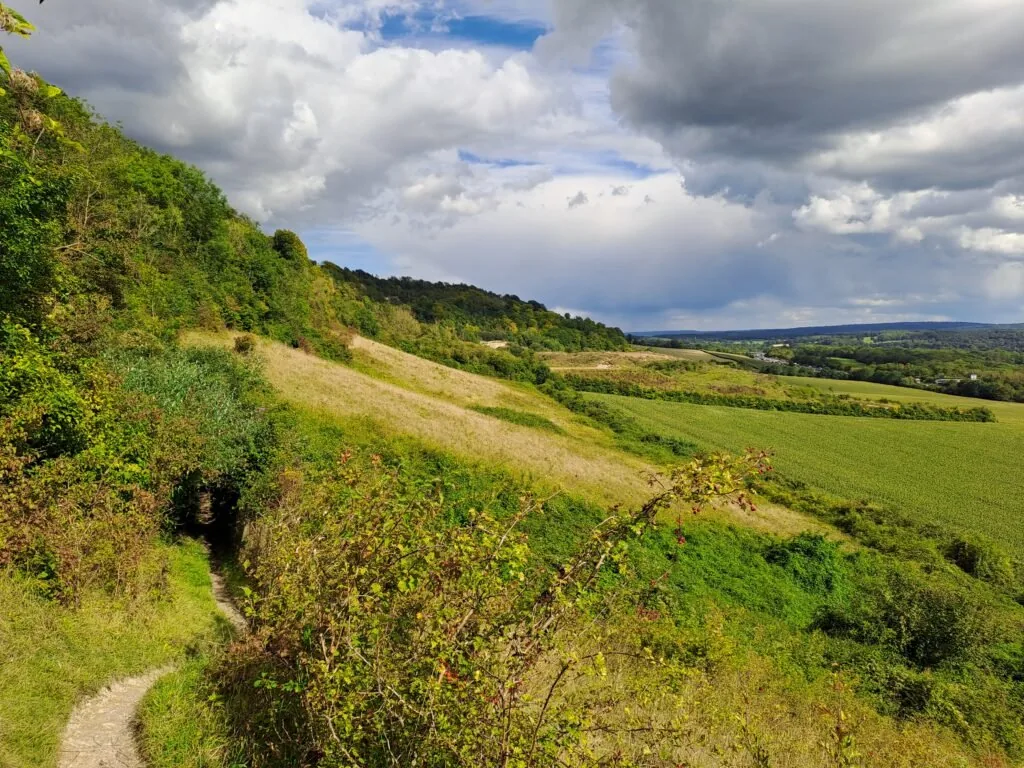
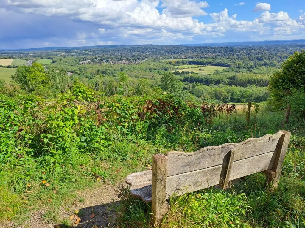
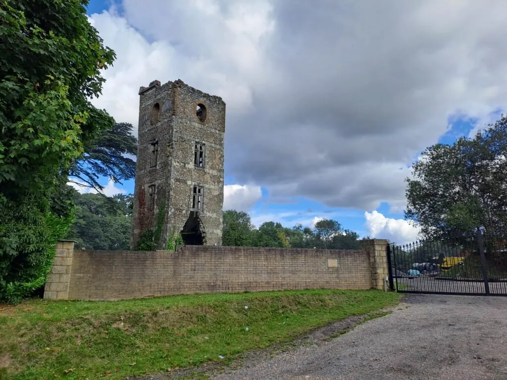
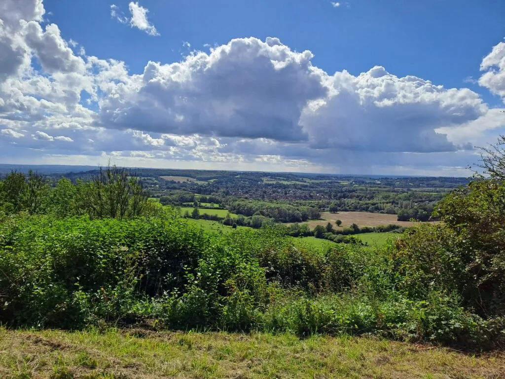
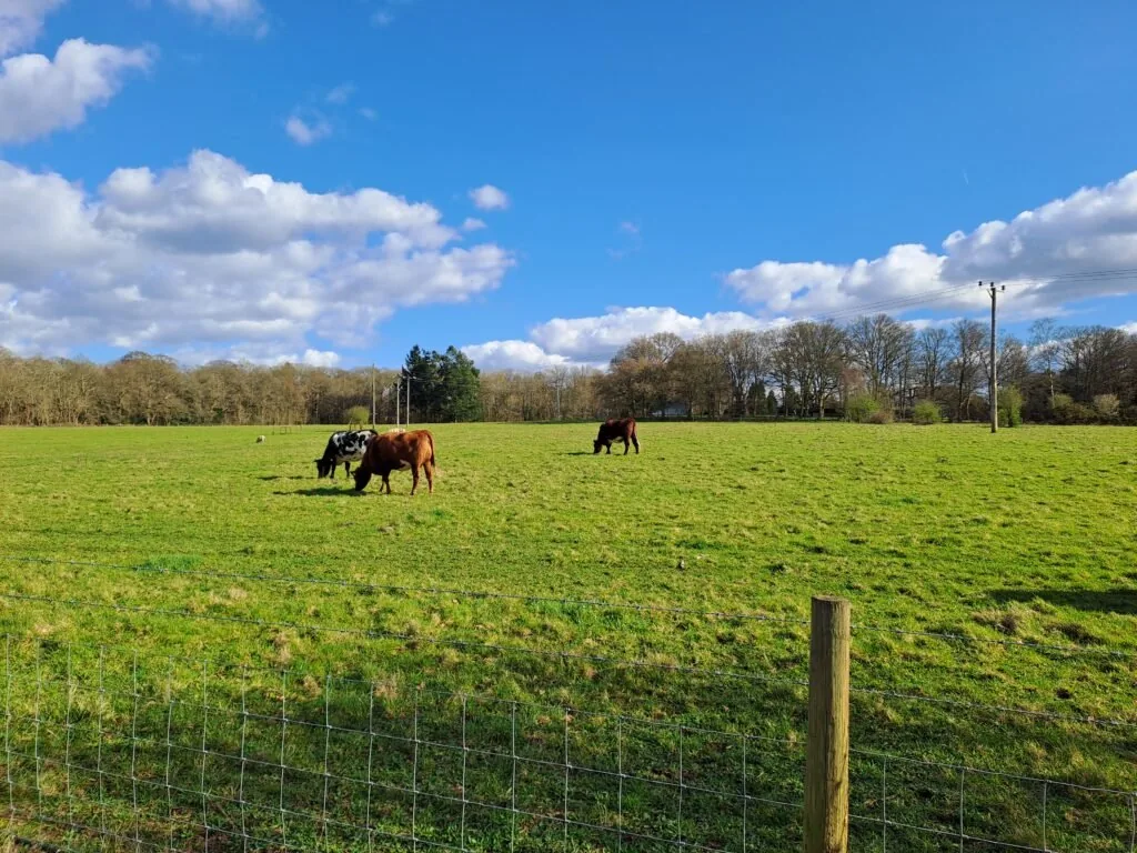
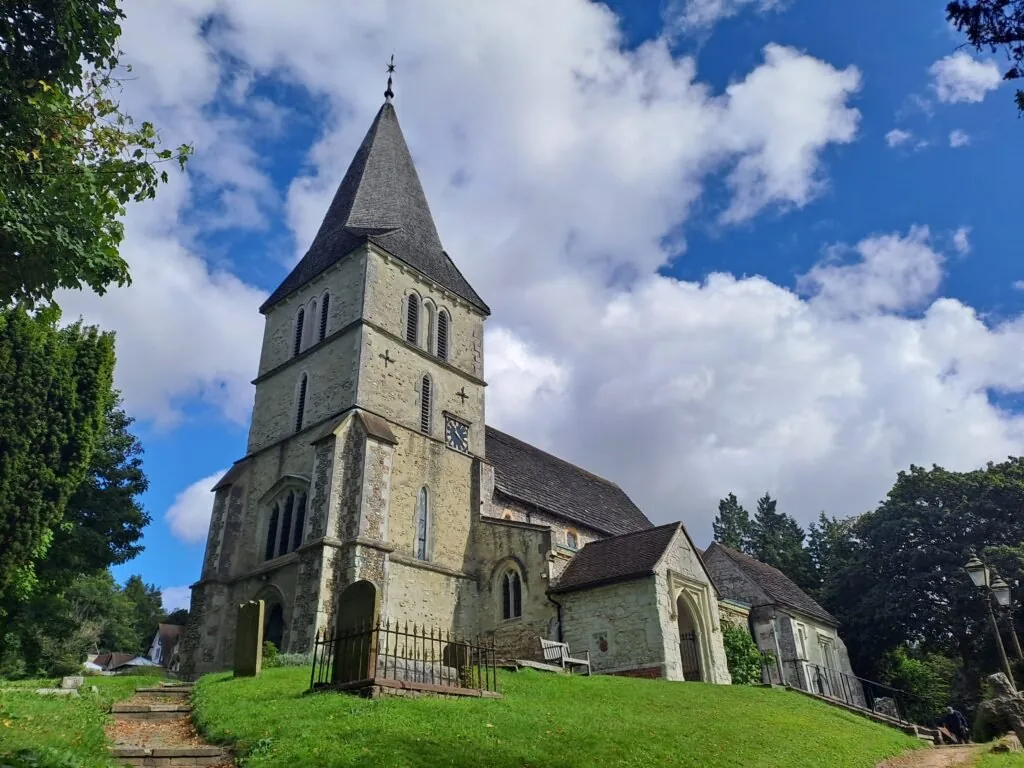
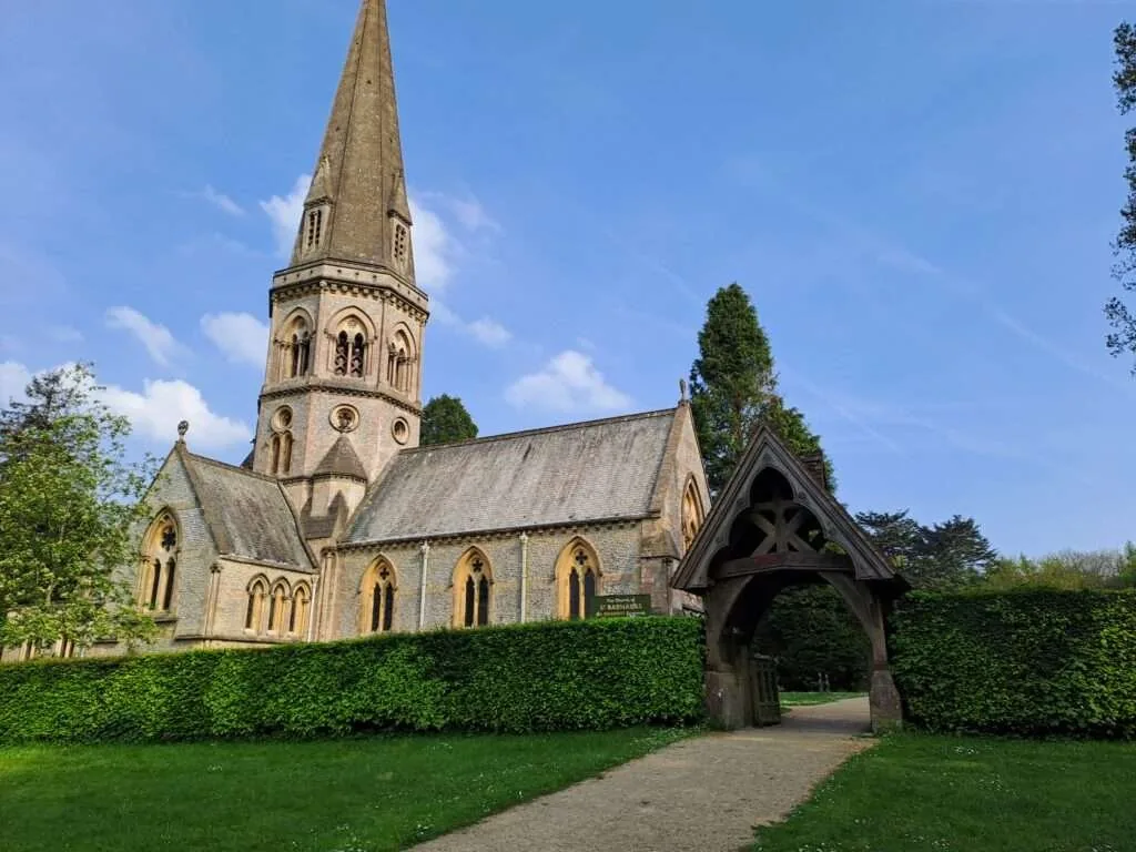
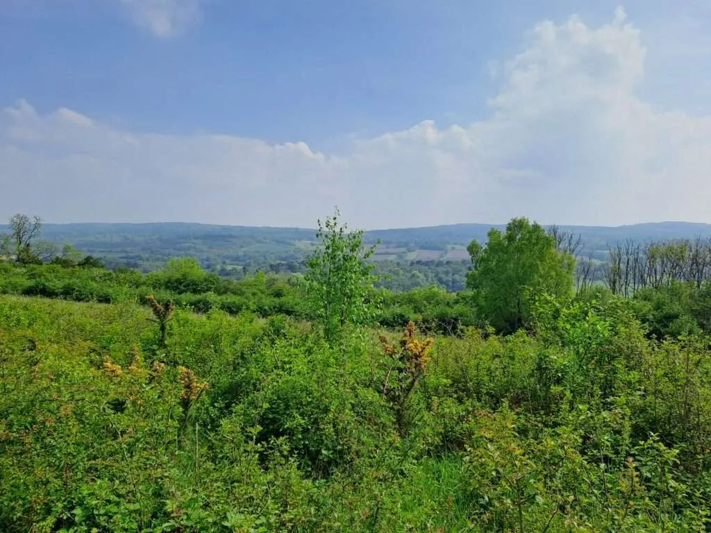
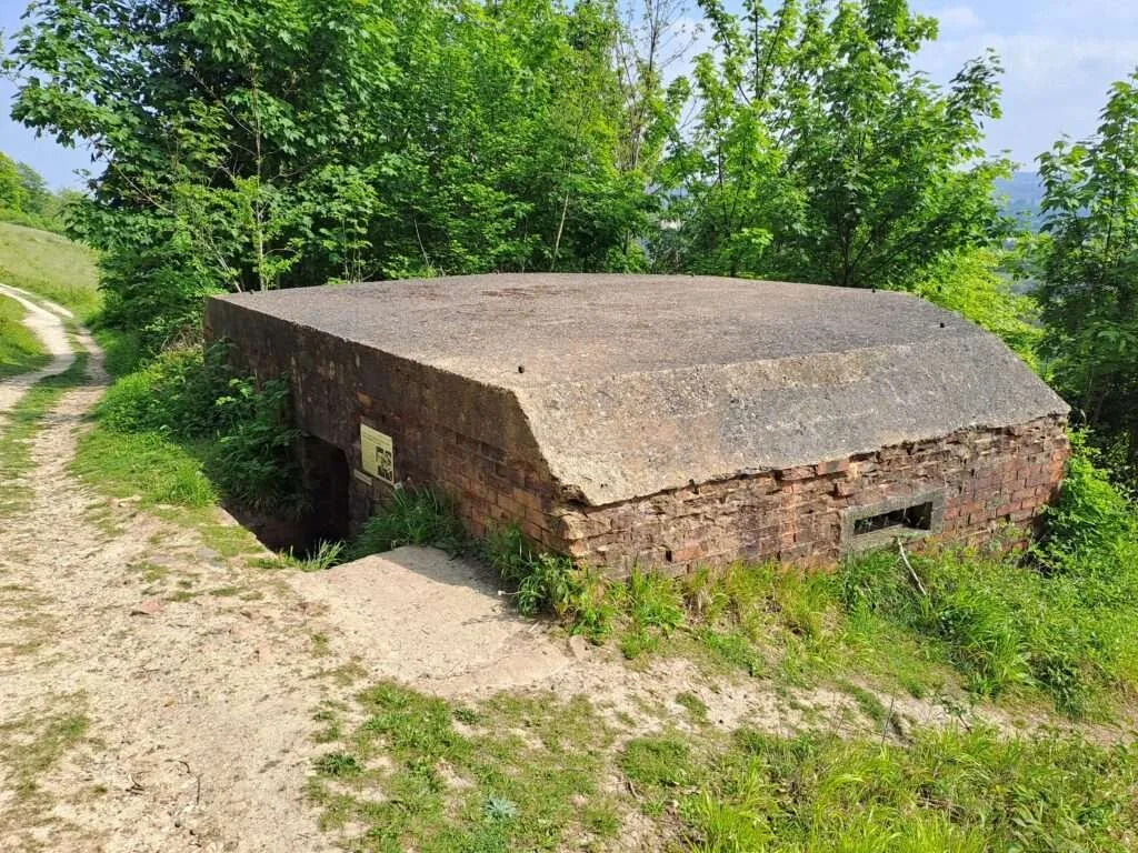
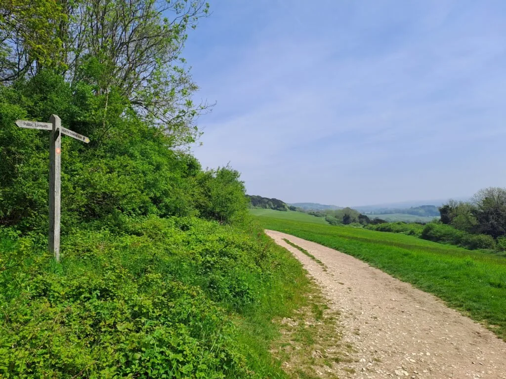
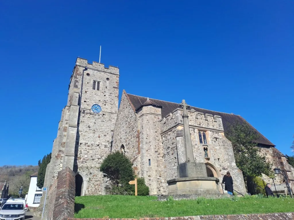
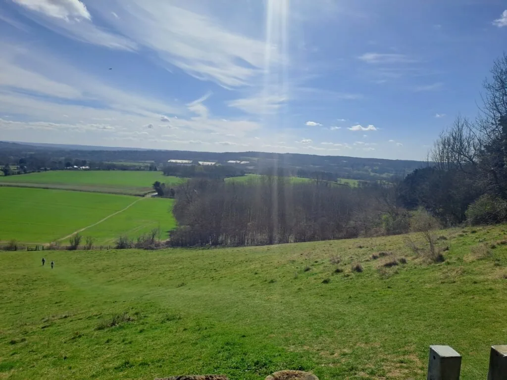
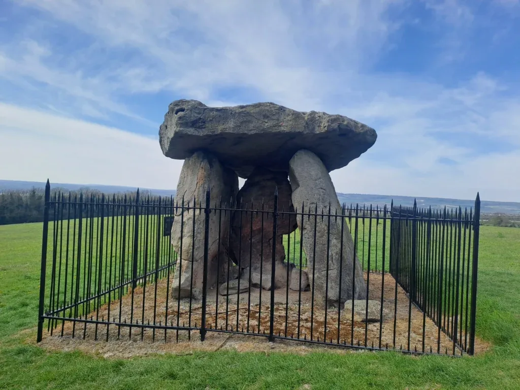
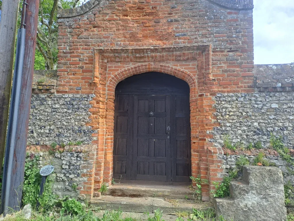
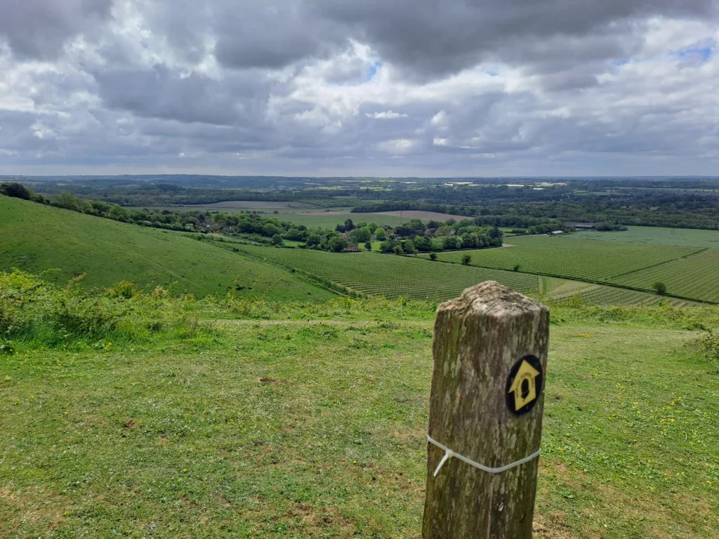
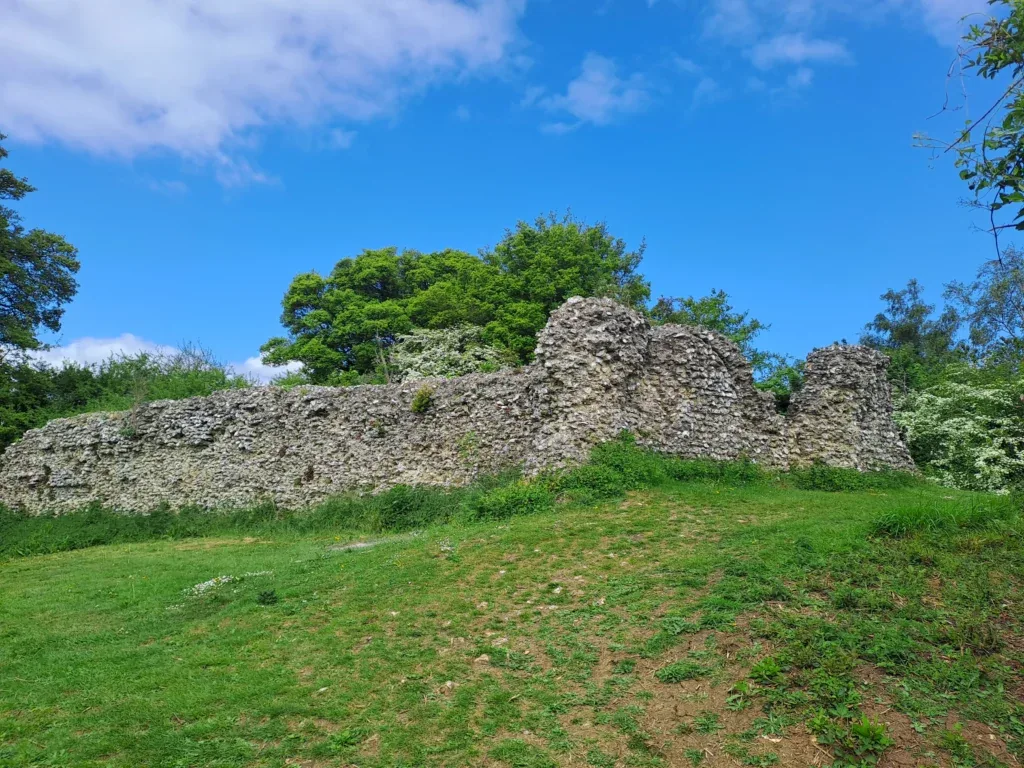
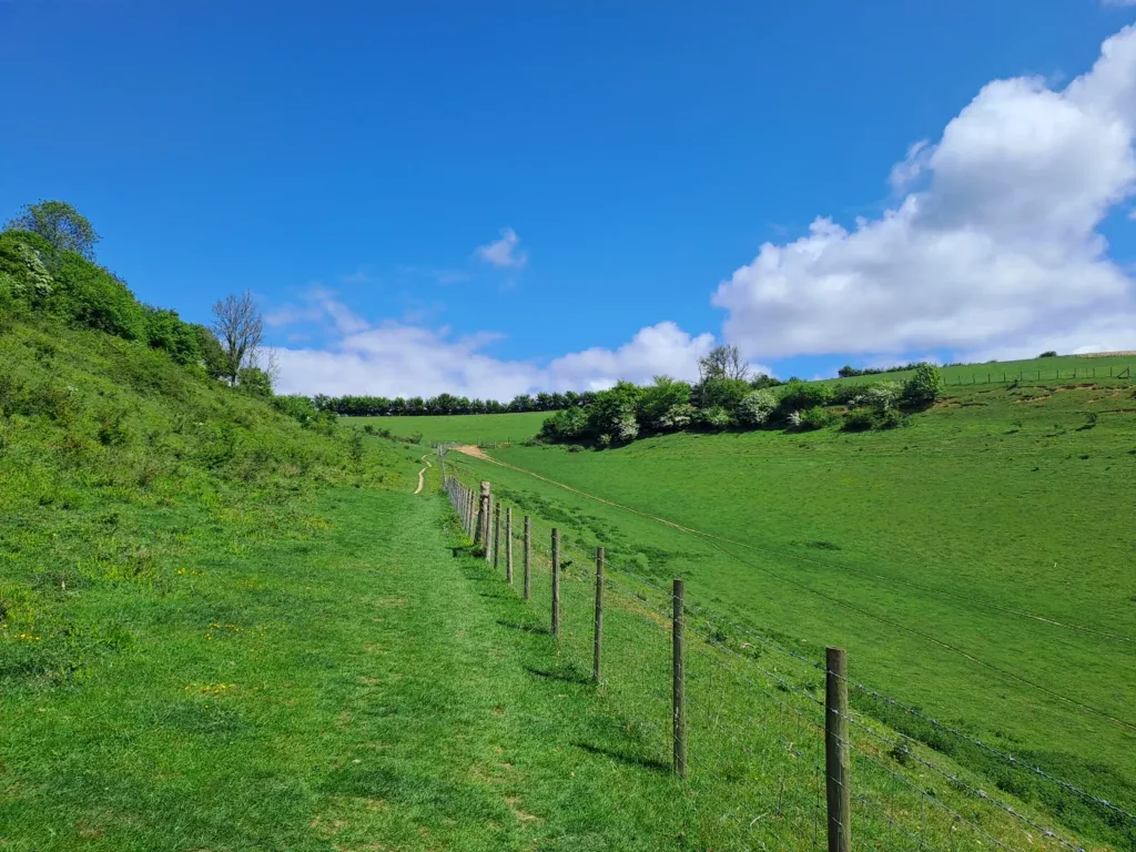
Whether for a day hike or a longer journey, the North Downs Way offers a memorable outdoor experience for visitors to enjoy the stunning beauty of the English countryside. Before you get going, check out our gallery of photos taken from various points along the trail. Regardless of the time of year, you’ll be sure to encounter some stunning sights on the North Downs Way.
Related National Trails in the UK
The Cleveland Way – A 109-mile horseshoe-shaped trail that blends the heather moorland of the North York Moors with a spectacular stretch of North Sea cliff walking.
The Coast to Coast Trail – A 192-mile trail across northern England from St Bees on the Irish Sea to Robin Hood’s Bay on the North Sea, taking in the Lake District, Yorkshire Dales, and North York Moors.
The Cotswold Way – A 102-mile journey through rolling countryside, honey-coloured villages, and historic sites, finishing at the beautiful city of Bath and its abbey.
Hadrian’s Wall Path – An 84-mile coast-to-coast route that follows the Roman frontier across northern England, passing forts, crags, and sweeping open landscapes.
South Downs Way – A 100-mile chalk ridge walk from Winchester to Eastbourne, offering big skies, rolling hills, and easy access for day hikes. One of the most popular National Trails.
The Ridgeway – Known as “Britain’s oldest road,” this 87-mile trail runs from Avebury to Ivinghoe Beacon along a chalk ridge, passing Iron Age forts, long barrows, and landmarks like the Uffington White Horse.
The Thames Path – A 185-mile riverside trail following the River Thames from its source in Gloucestershire to the Thames Barrier in London. Gentle walking, historic towns, meadows, locks, bridges, and a blend of rural and urban scenery.