Walking from Otford to Cuxton
Map will appear here
Weather Forecast for this Section
Route Directions
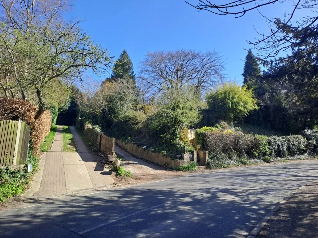
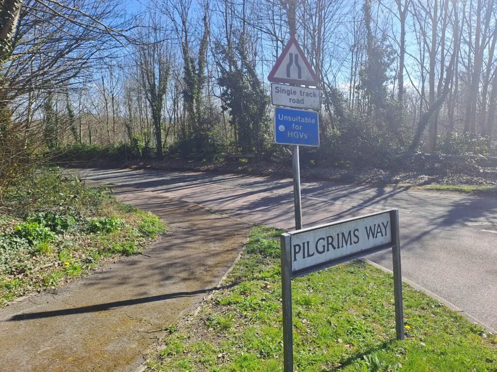
The Otford to Cuxton stretch of the North Downs Way is a rewarding 15-mile (24.1km) trek, offering a mix of woodland trails, open fields, and panoramic views. The route begins conveniently next to Otford train station, making it one of the most accessible starting points along the trail. From the station, take the stairs to the left and follow the North Downs Way sign. At the top, turn right onto Station Road, then right again onto Pilgrim’s Way East. Cross the road and follow the track leading up to Otford Mount, marked by visible vehicle tracks.
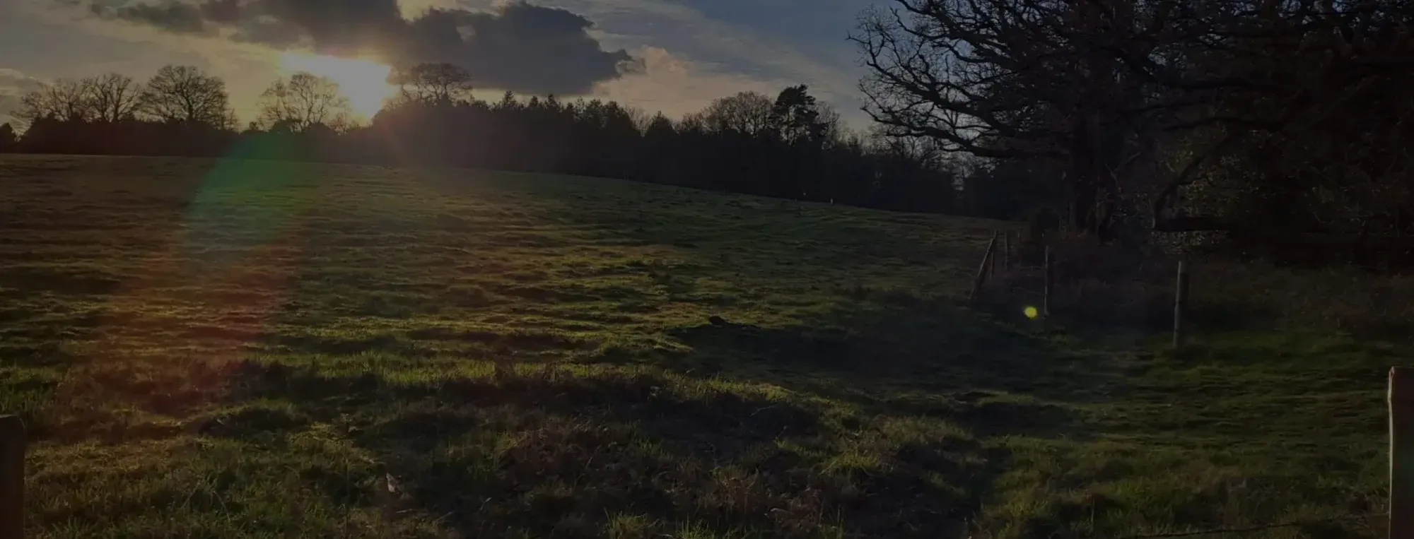
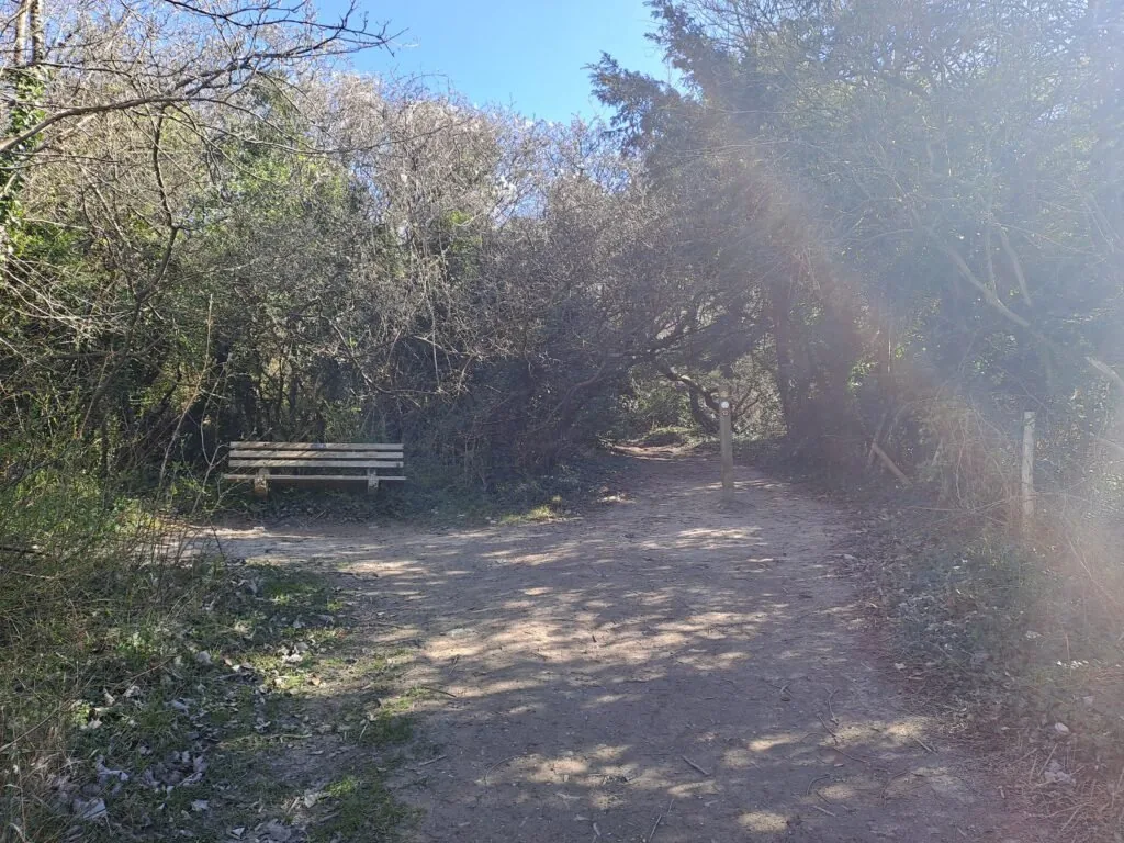
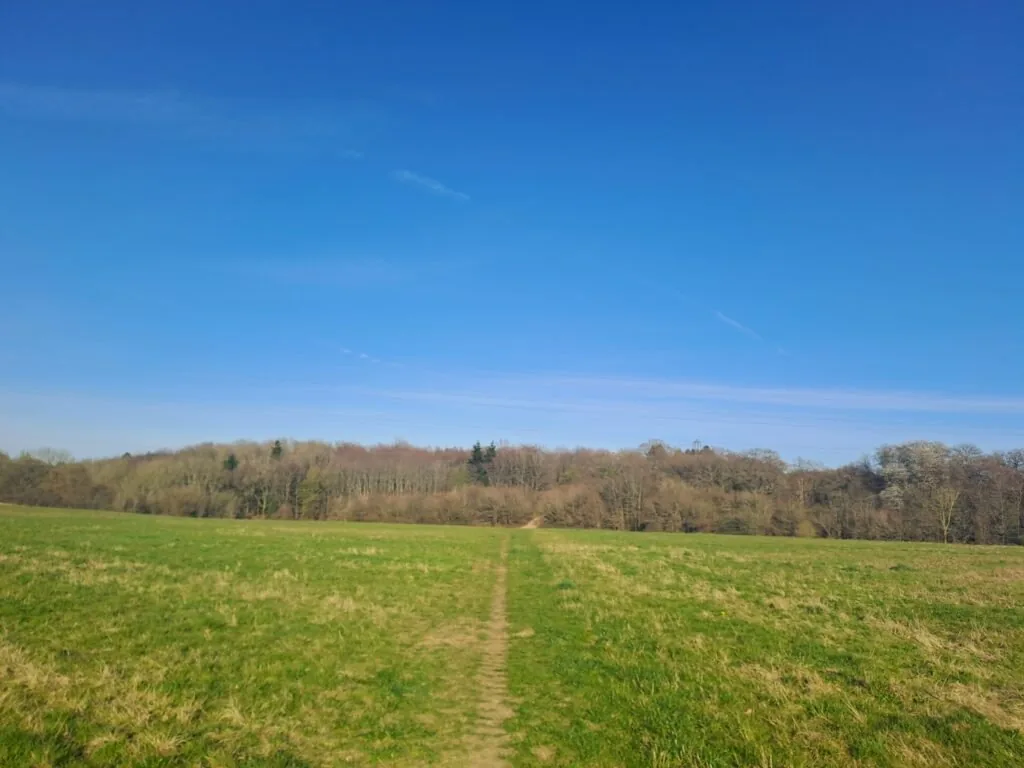
There’s quite a steep incline from here up towards Otford Mount, which can be a bit tough right at the start of a hike. At the same time, you get some lovely views looking back down into Otford once you get higher up. There’s also a conveniently placed bench for taking a break at the top. At the bench, take the right path and continue towards a clearing.
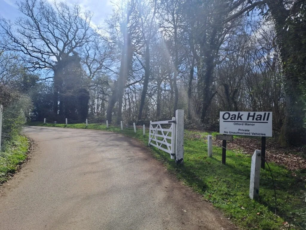
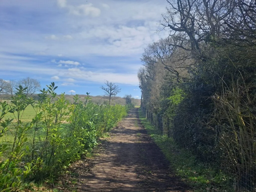
Once you cross the clearing, the path takes you out onto Birchin Cross Road. Briefly walk along this road before taking a right turn back into the woods. After a while, the path then emerges onto Shorehill Lane, where you’ll take a right turn before turning left following the sign for Oak Hall (Otford Manor). Instead of heading directly to Otford Manor, the path veers right into the woods, eventually leading to Kemsing Downs Nature Reserve.
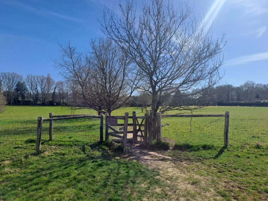
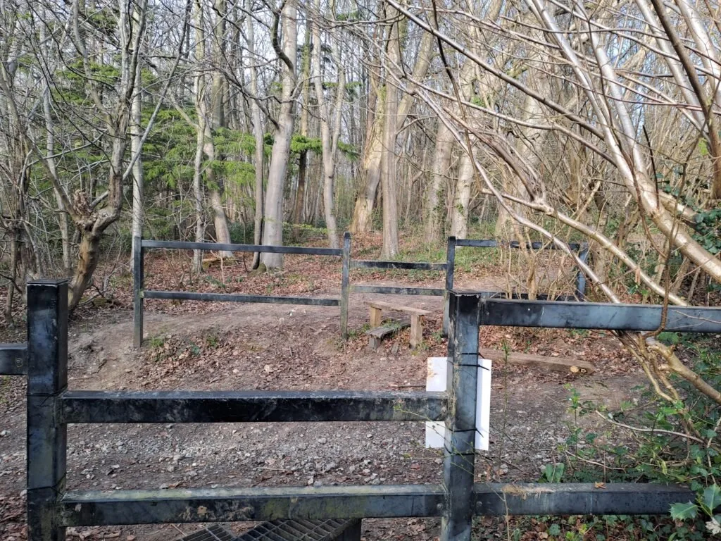
As the trail descends, a scenic viewpoint appears before passing through a kissing gate. Turning left here brings you past a sign for Kemsing Downs Nature Reserve. The path continues straight with Otford Manor on the left, curving slightly before entering Fab’s Wood. After roughly a kilometer, the trail exits onto a gravel path and soon meets Cotman’s Ash Lane.
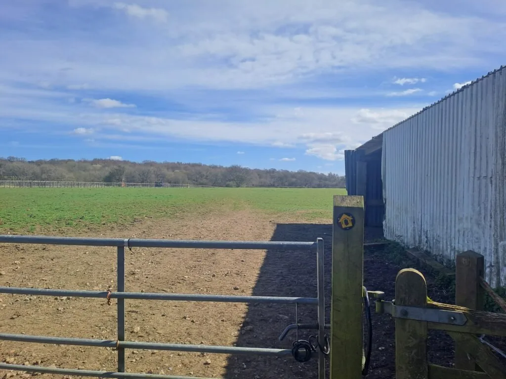
Turn left on Cotman’s Ash Lane and continue on for a short stretch; the path then turns right back into open fields. This turn is next to a large farm building, but the North Downs Way marker is somewhat hidden, so keep an eye out.
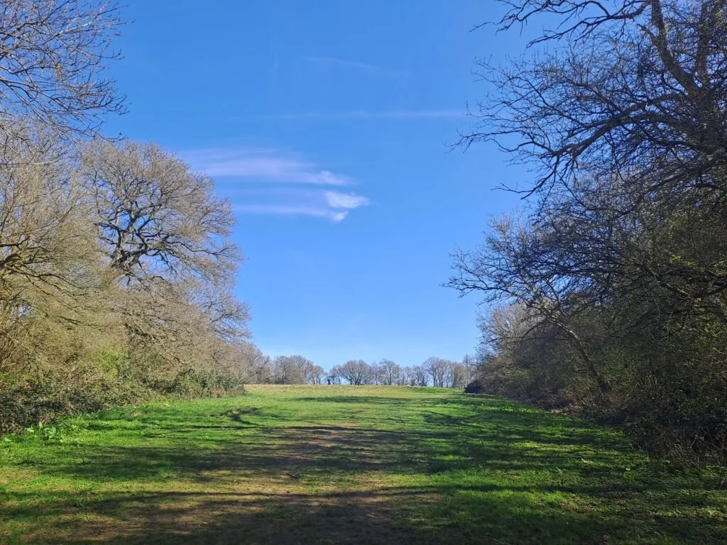
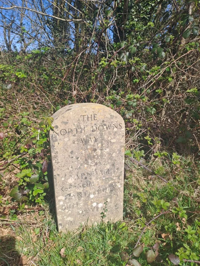
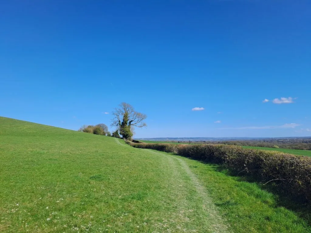
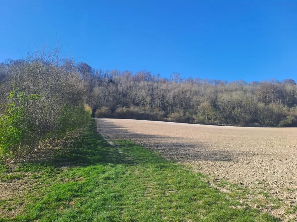
Crossing the field, be mindful of grazing animals before turning left into the woods. Another open field follows, with hedges on the left and a North Downs Way distance marker quietly tucked away along the side. Take pride in having covered 60 miles from Farnham – officially over halfway through the full trail!
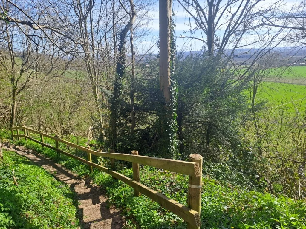
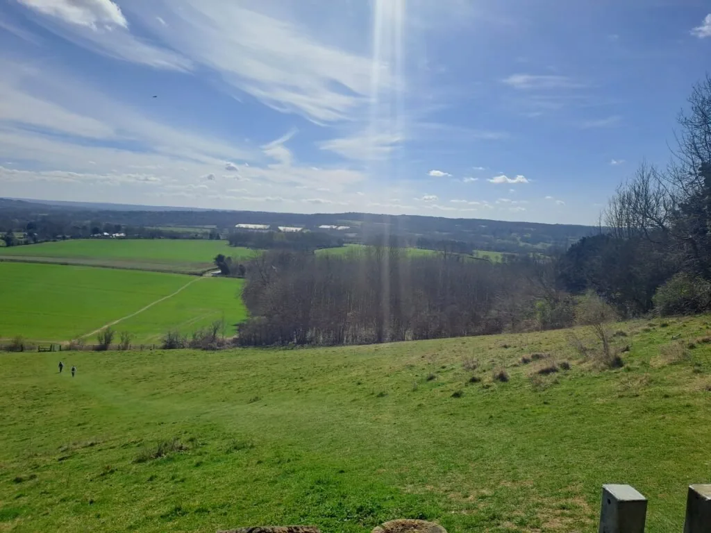
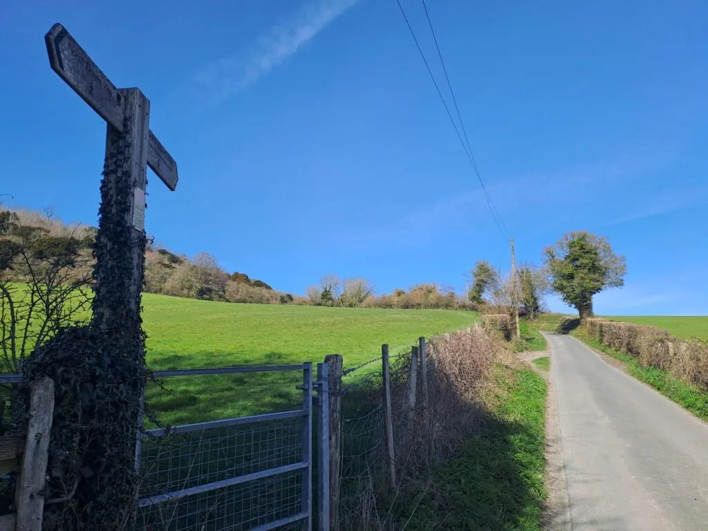
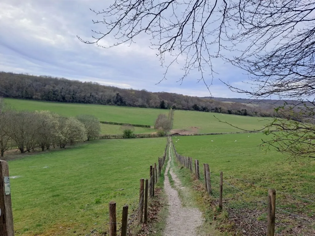
Continuing across the field, the path briefly meets Old Terry’s Lodge Road. A right turn here is immediately followed by a left down wooden steps, revealing breathtaking valley views. The trail descends into the valley, then turns left onto Pilgrim’s Way.
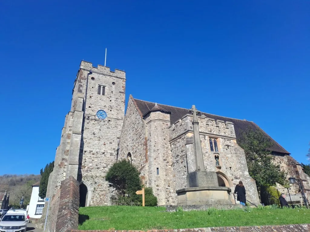
Following Pilgrim’s Way for some distance leads to the village of Wrotham. The North Downs Way marker at Exedown Road is somewhat unclear, but continuing straight on Pilgrim’s Way is the correct route. As the surroundings become more residential, hikers can take a right onto Old London Road to visit Wrotham town center, an excellent midway stop with a beautiful church (St George’s Church) and some lovely pubs.
If you’re ready to press on towards Cuxton (another 9 miles), make your way back towards Pilgrim’s Lane and keep following it. You’ll pass some sports grounds before connecting with the A20 and the Wrotham bypass. Be especially careful here if you’re bringing dogs. When you reach the motorway, turn left towards the roundabout. At the roundabout, you’ll then want to carefully make your way across towards Pilgrim’s Way. The motorway should be on your right-hand side.
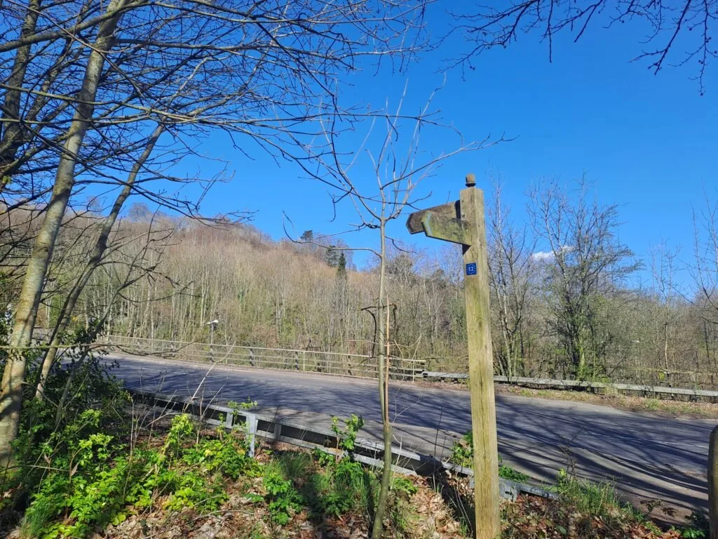
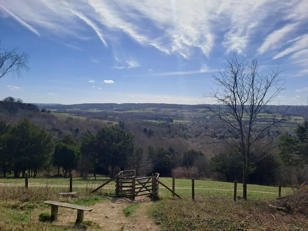
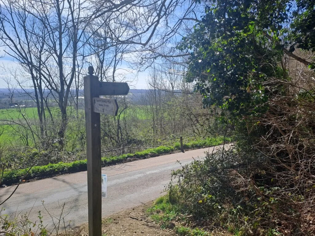
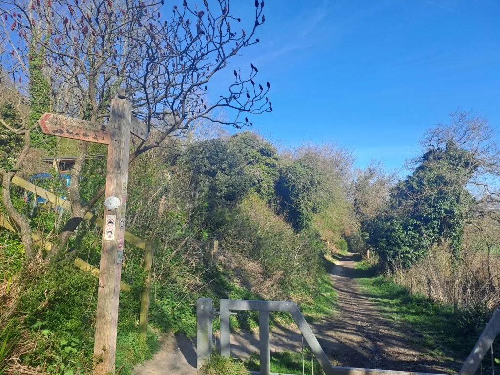
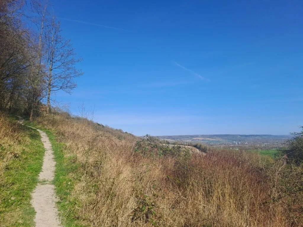
For a long stretch, the North Downs Way follows Pilgrim’s Way, occasionally branching off into fields to avoid road walking. Eventually, the path reaches a fork, where Pilgrim’s Way continues to the right while Hognore Lane branches left. The official route follows Hognore Lane, leading higher for better views from Trosley Country Park. Those preferring an easier option can stay on Pilgrim’s Way, as both routes eventually merge.
Hognore Lane intersects with the A227 at a crossroads, where a right turn onto Vigo Hill Road leads toward Trosley Country Park. A left turn soon follows, taking the trail through the park, where a café and picnic tables offer a great resting spot. The path then descends, reconnecting with Pilgrim’s Way.
Keep heading along Pilgrim’s Way for around 2km. The route then takes a sharp right turn that cuts through a field as you head back up onto the North Downs. At the end of the field, you’ll take a right turn back into the treeline. Brace yourself for this section as the path curves round to the left before inviting you to walk up some wooden steps. Once you reach the top the path emerges onto a junction with White Horse Road and Holly Hill Road. You’ll want to continue heading straight across and along Holly Hill Road.
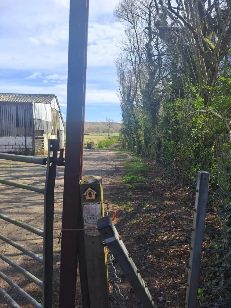
Heading straight onto Holly Hill Road, hikers pass a car park on the left and Holly Hill House on the right. Shortly afterward, the path forks, where a right turn leads through a metal gate. Continue straight for a bit before taking another right turn and crossing a stile. Here, signage is limited, but the correct route crosses diagonally over a large field along a well-worn path. The trail dips before rising toward electricity pylons, then veers left into the woods after crossing two more stiles. Use the images below for reference as it can be confusing and some North Downs Way markers have fallen off.
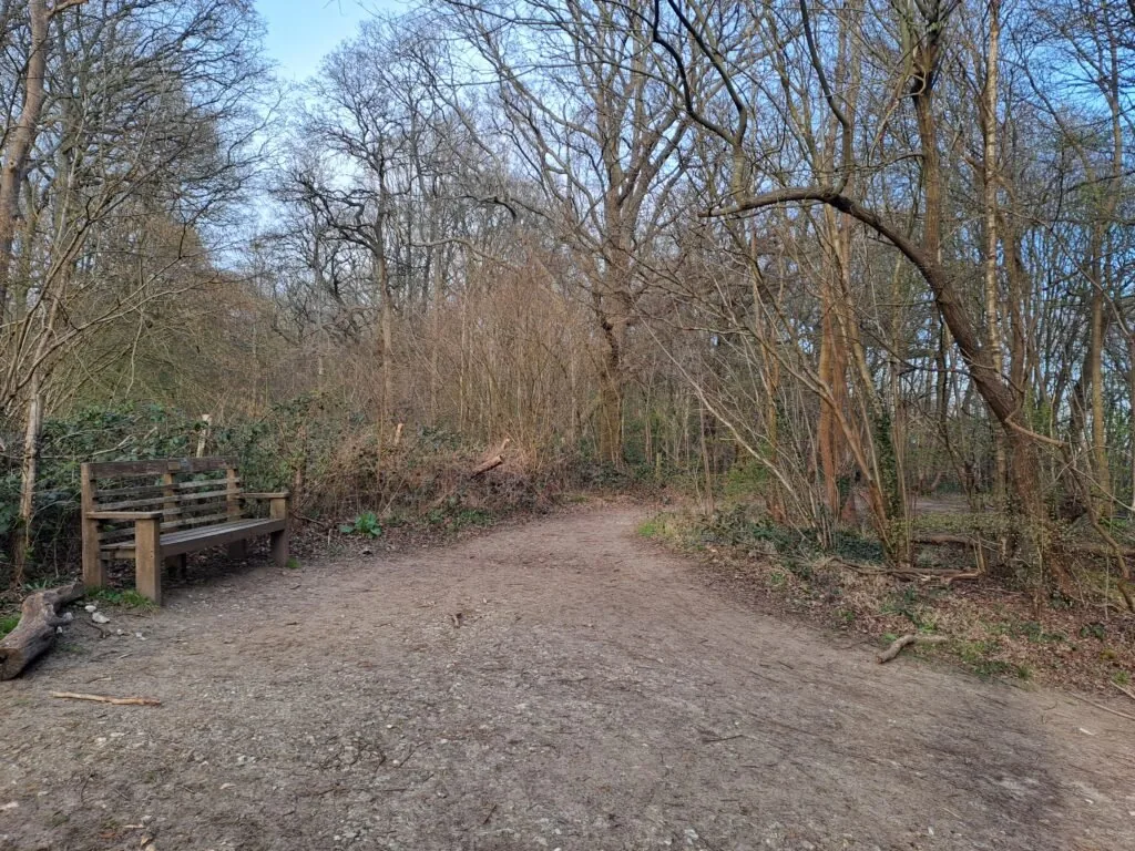
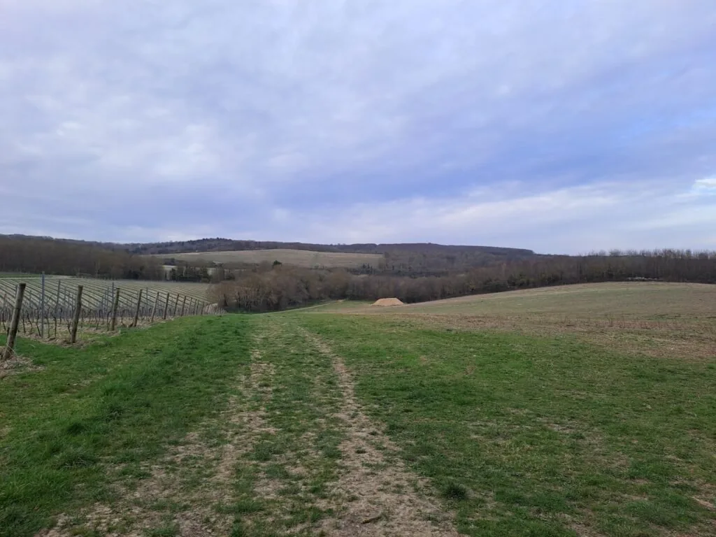
From this point on the route becomes very straightforward as you follow more or less a straight line through the woods towards Cuxton. At one point you’ll reach a bench where you’ll keep heading straight on. You’ll then take a left turn down some wooden steps and down into a valley with a narrow path going straight through and grazing animals on either side (so dogs on leads here). After climbing up the other side of the valley, you’ll pass through a second field with a vineyard on your left. At the bottom of this field, take a right turn before turning right back into the woods.
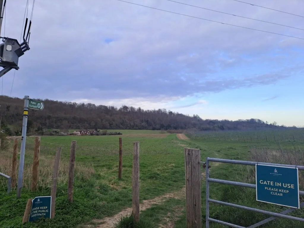
After taking a left turn back into the woods, the area starts to become more residential as you get closer to Upperbush. You should see the village sign right next to another North Downs Way stone marker. You’re now 74 miles from Farnham! Follow the road straight on from here before passing through a field on your right. The field should take you out onto Bush Road. Turn right here, and after a short distance, you’ll see the metal North Downs Way sign for this section.
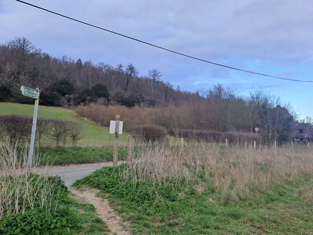
Amazing work! You’ve just completed a very long section of the North Downs Way. Unfortunately, if you’re travelling by train, then the nearest station (Cuxton Station) is around a mile away. To get there, keep walking past the sign down Bush Road before crossing the A228 onto Station Road. Cuxton Station is just up the road from here, with transport links to London and Otford. When you’re feeling refreshed, come back for the next section of the route, walking from Cuxton to Detling. If you’re considering staying overnight in Cuxton, see below our dedicated section for accommodation near the end of this section of the North Downs Way.
Accommodation in Cuxton
Cuxton and nearby Rochester have a handful of solid options if you’re stopping overnight before continuing on to Detling. We’ve picked out the best-placed options below to make your planning easier – booking through any of our links below helps support our site at no extra cost to you.

Next Section
Cuxton to Detling (12.5 miles)
This section begins just outside Cuxton (around 1km away from Cuxton train station). You’ll begin by taking the path away from Bush Road and into the trees, passing a small sign for Mill Hill Wood. The path begins an immediate ascent as you climb up away from Cuxton, catching glimpses of the town to your right. After a bit of uphill walking, you’ll encounter a crossing to your left over some train tracks.
Previous Section
Oxted to Otford (11.8 miles)
The next section of the North Downs Way begins just outside of Oxted and finishes right next to Otford train station. The official start point is designated by a metal sign in the top left of a field just across from the M25 and to the right of Limpsfield Lodge Farm. From the start point the route briefly follows alongside the Vanguard Way as you walk along the top of this field, keeping the forest to your left-hand side. At the midpoint of the field, you’ll notice a plaque marking where both routes cross the Greenwich Meridian Line.