Walking Cuxton to Detling
Map will appear here
Weather Forecast for this Section
Route Directions
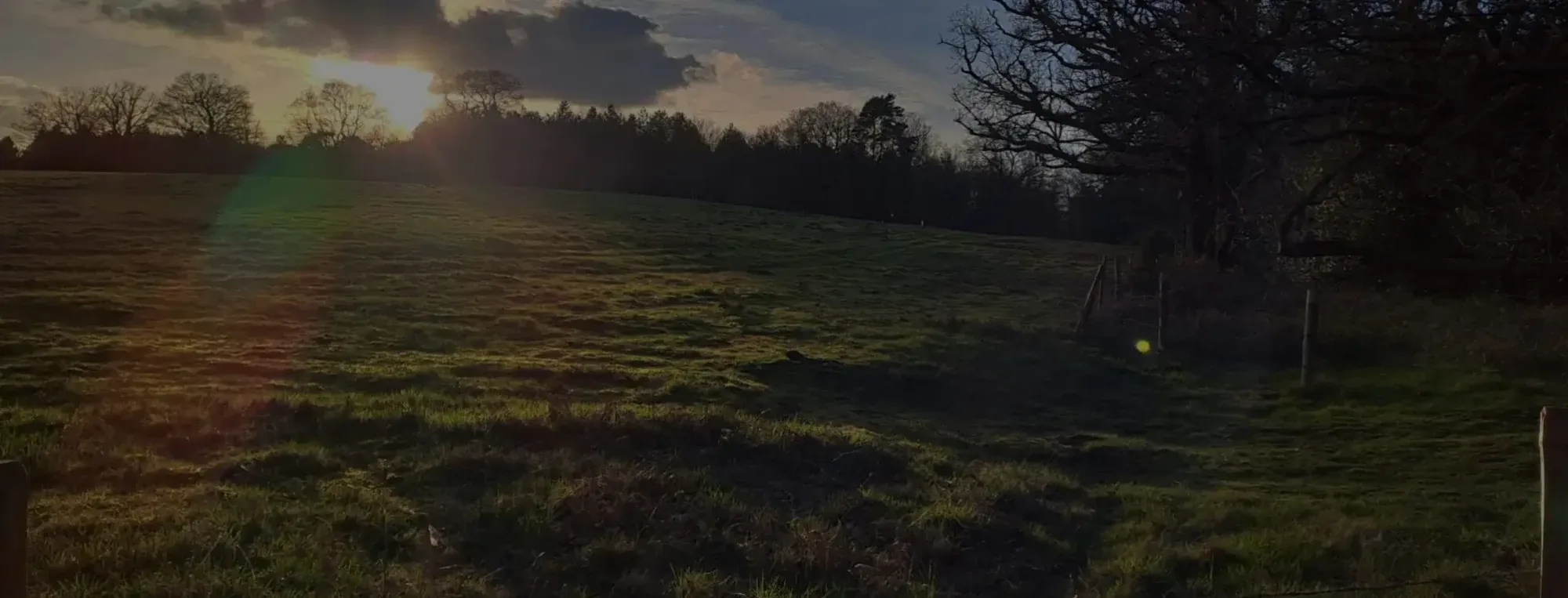
The Cuxton to Detling section of the North Downs Way offers a 12.5-mile hike that takes you over the busy Medway Viaduct and out into the Kent countryside beyond. Before you embark, it’s important to note that the end of this section in Detling is a bit of a black hole, with the nearest train stations, Bearsted and Maidstone, being a considerable walk. You’ll be able to order a taxi from the finish, but bear in mind that some forward planning will help you out quite a bit.
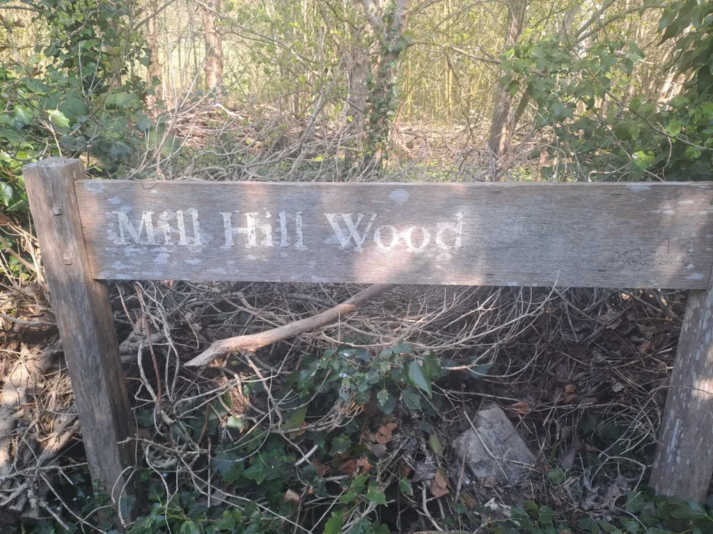
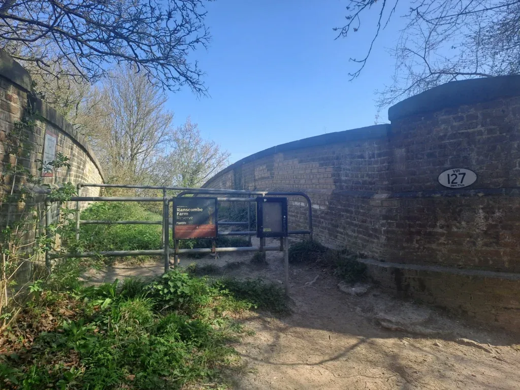
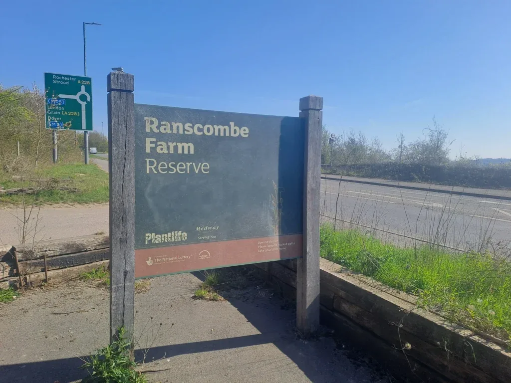
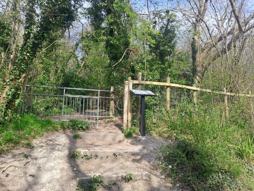
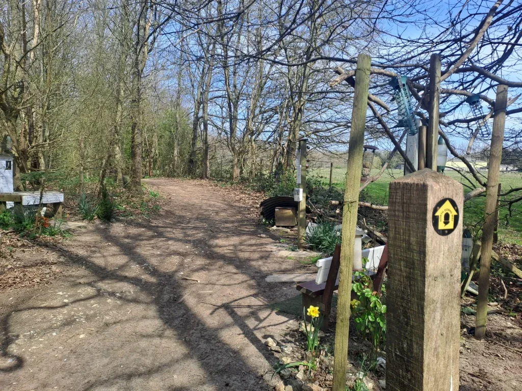
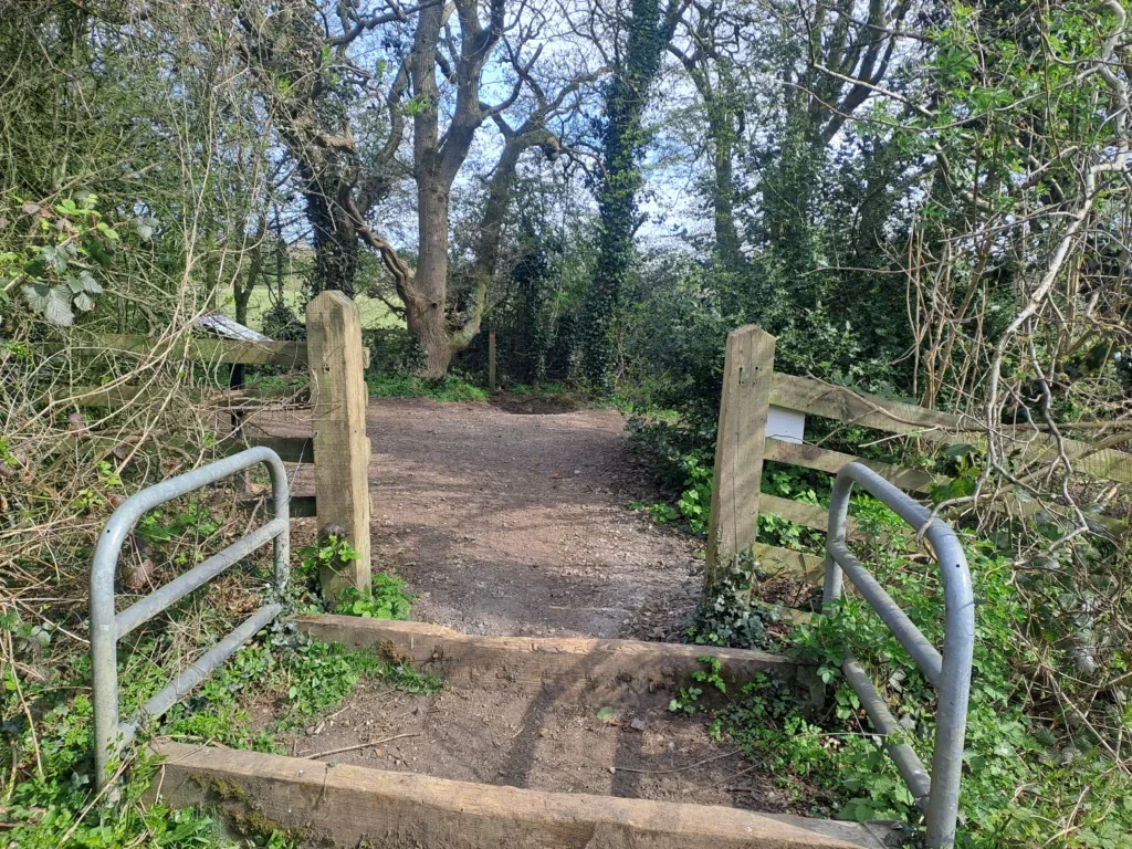
This section begins just outside Cuxton (around 1km away from Cuxton train station). You’ll begin by taking the path away from Bush Road and into the trees, passing a small sign for Mill Hill Wood. The path begins an immediate ascent as you climb up away from Cuxton, catching glimpses of the town to your right. After a bit of uphill walking, you’ll encounter a crossing to your left over some train tracks. Cross the bridge into Ranscombe Farm Nature Reserve before taking an immediate right at the fork.
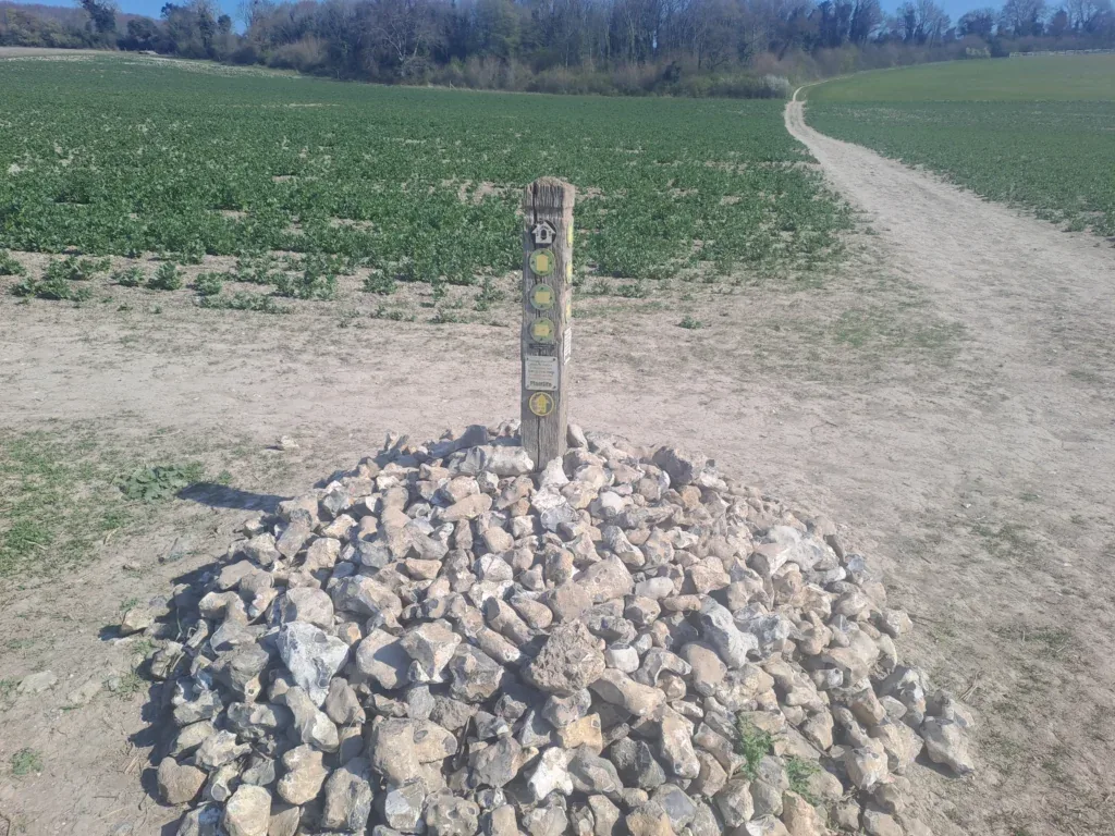
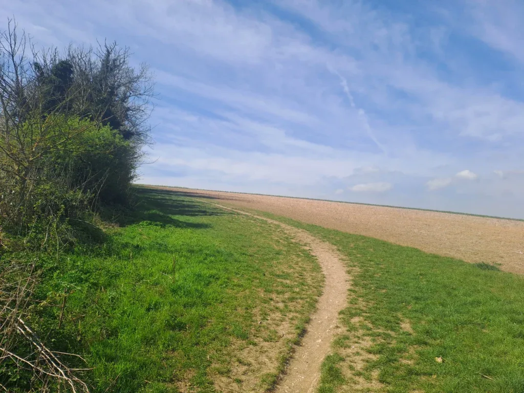
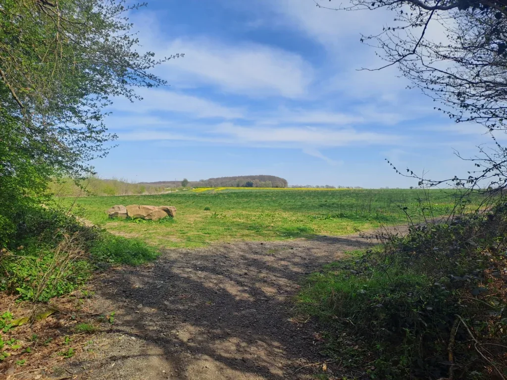
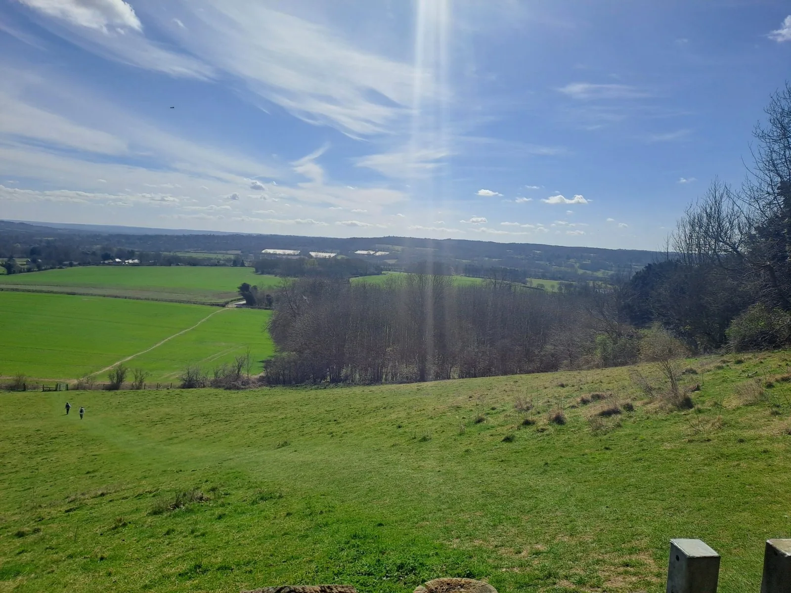
The path then takes you out into an open field that dips in the middle. Walk directly across the field (passing the stones stacked in the centre) and follow the path as it curves upwards to the right. You come out of the field where the path begins to narrow as you make a steady upward ascent. There’s an optional viewpoint that veers off to the left here, but to stay on the North Downs Way, keep heading straight on.
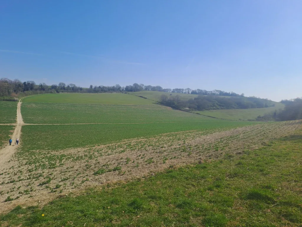
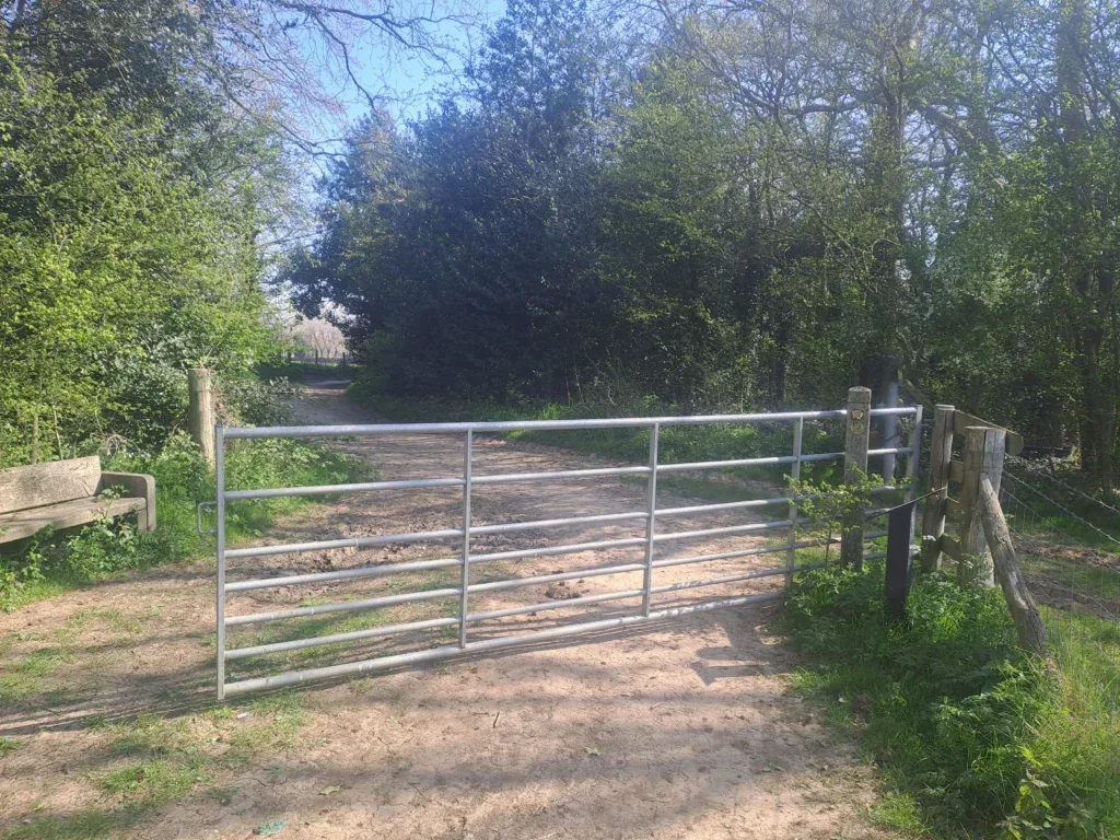
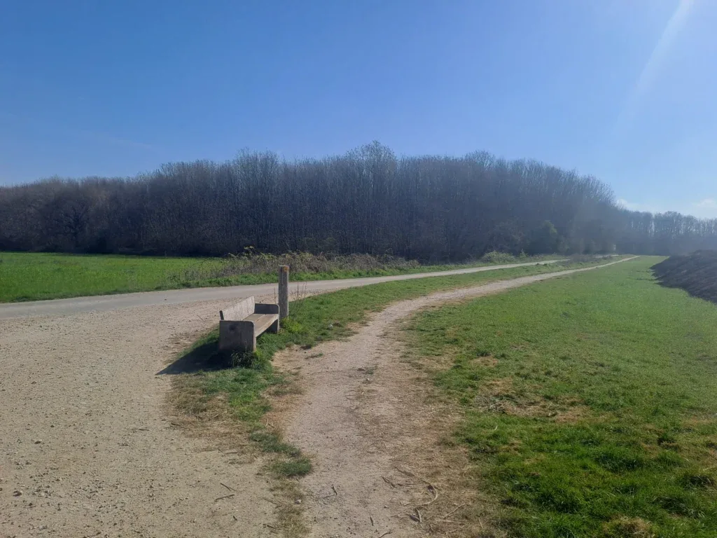
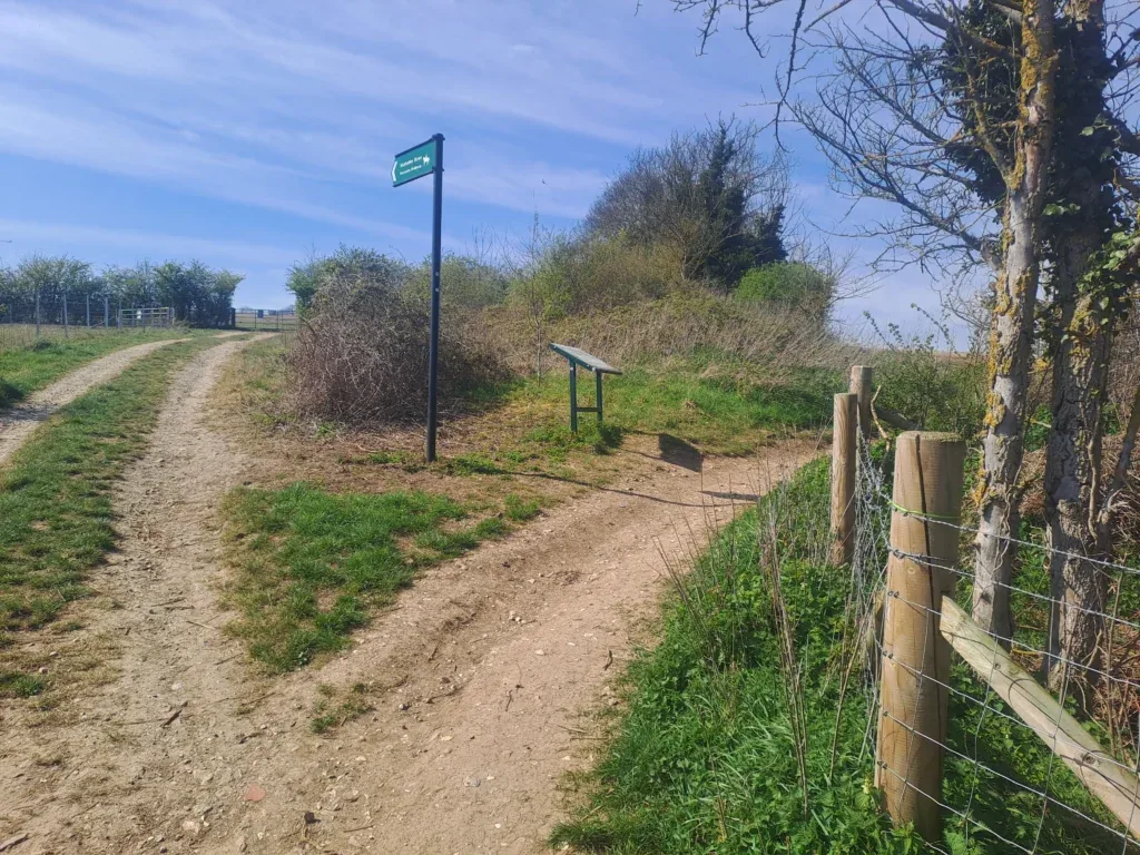
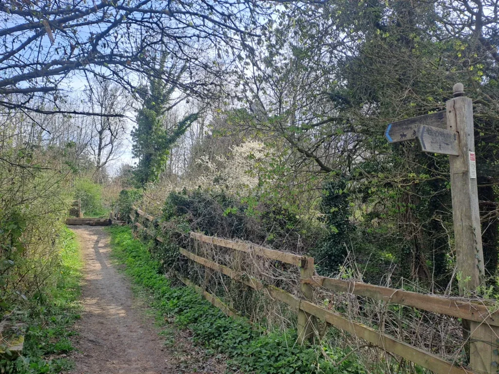
You’ll then pass by a metal farm gate and head into another field. Follow the path across the field and take a right turn at the bench. Keep following the path and after a while, the path begins to descend towards the River Medway, which you’ll be able to see in the distance.
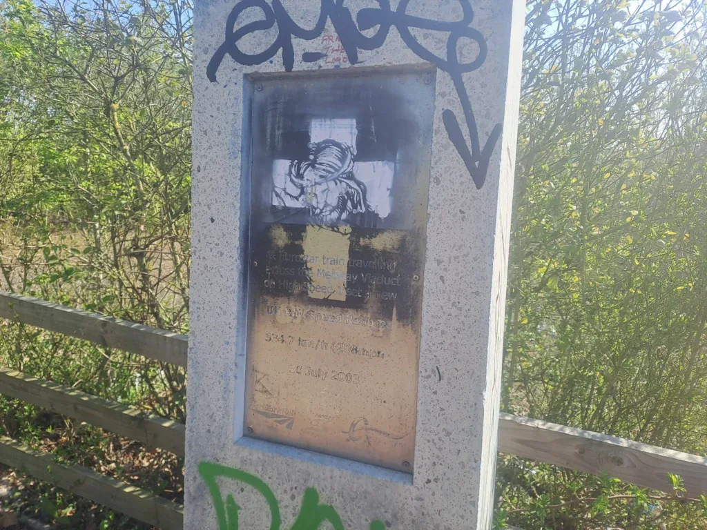
Stay on the path as it bends round to the left and takes you out by the Ranscombe Nature Reserve car park. Stay on the left side of the A228 as it curves to the left before taking you underneath the road. You’ll come out on the right side of the A228 before getting to a fork in the road where you’ll take the left turn that goes upwards beside the roundabout. There’s a sign here for where the Eurostar broke the British speed record on 30 July 2003.
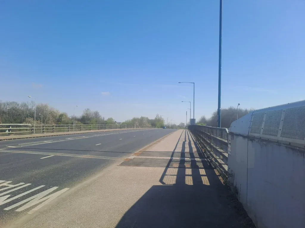
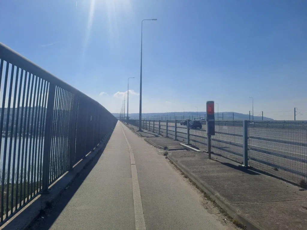
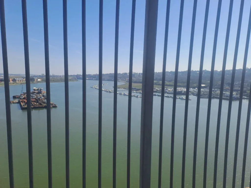
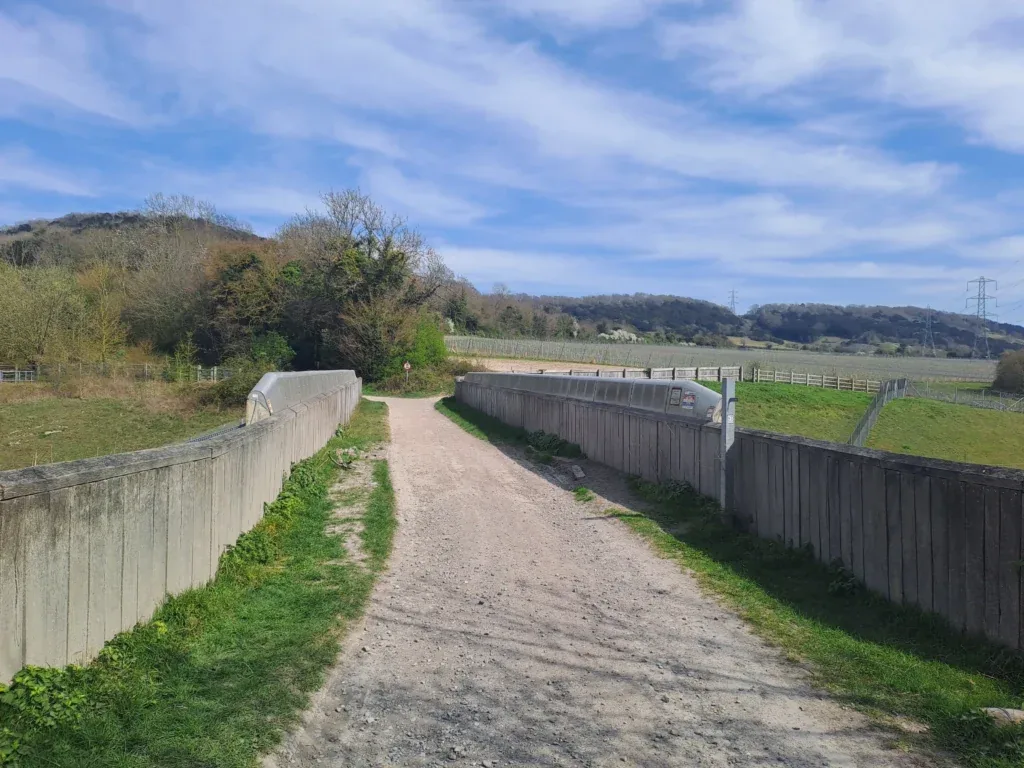
From here, cross the smaller bridge that takes you over the M2. After crossing this bridge, the path turns to the right and curves downwards towards the much larger bridge that takes you over the River Medway. It’s quite a distance across the bridge, but you can see some lovely views out over the river.
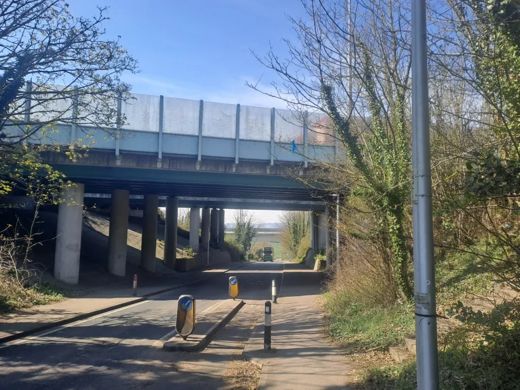
After quite a bit of walking, you’ll come out onto Wouldham Road where you’ll turn right and walk underneath the M2. This bit isn’t very well sign-posted, but right after going underneath the M2, you’ll then take a left turn following Nashenden Farm Lane. This road runs parallel to the M2 on your left.
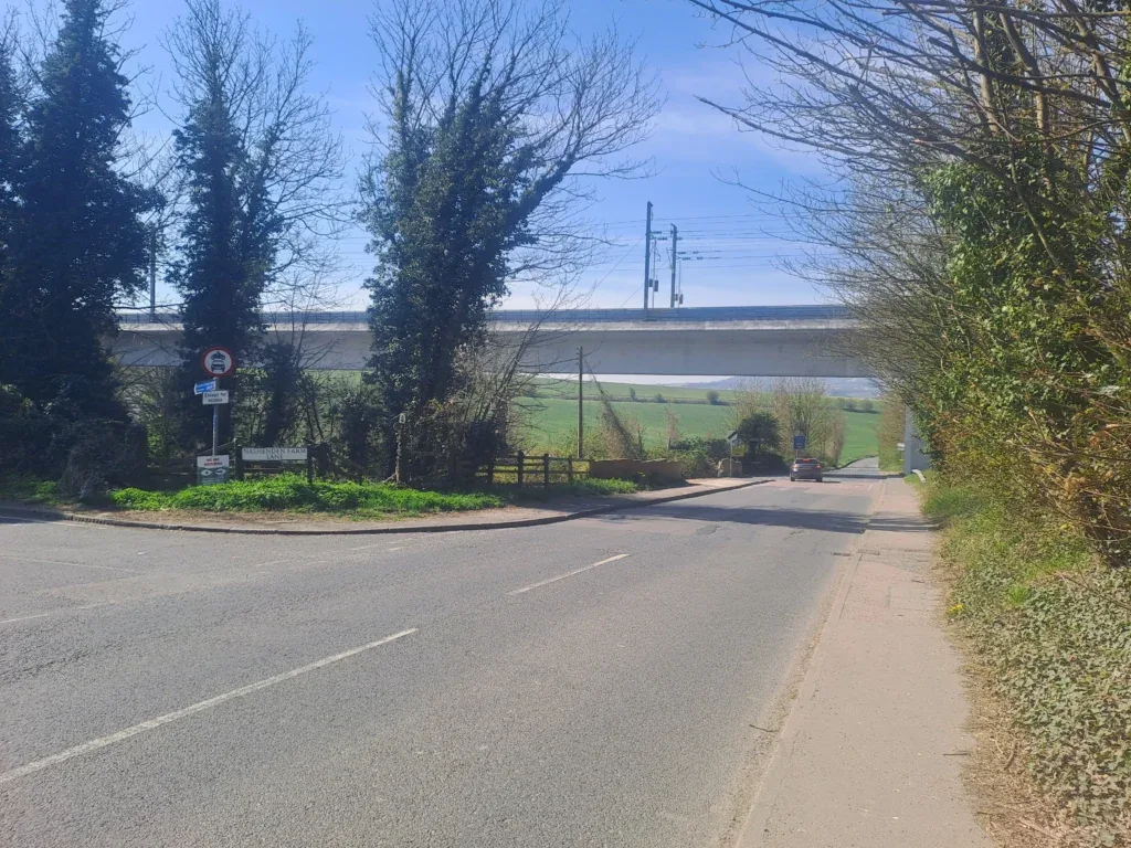
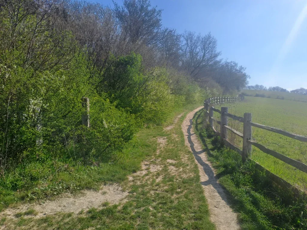
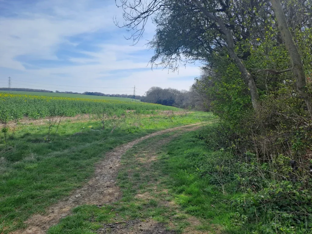
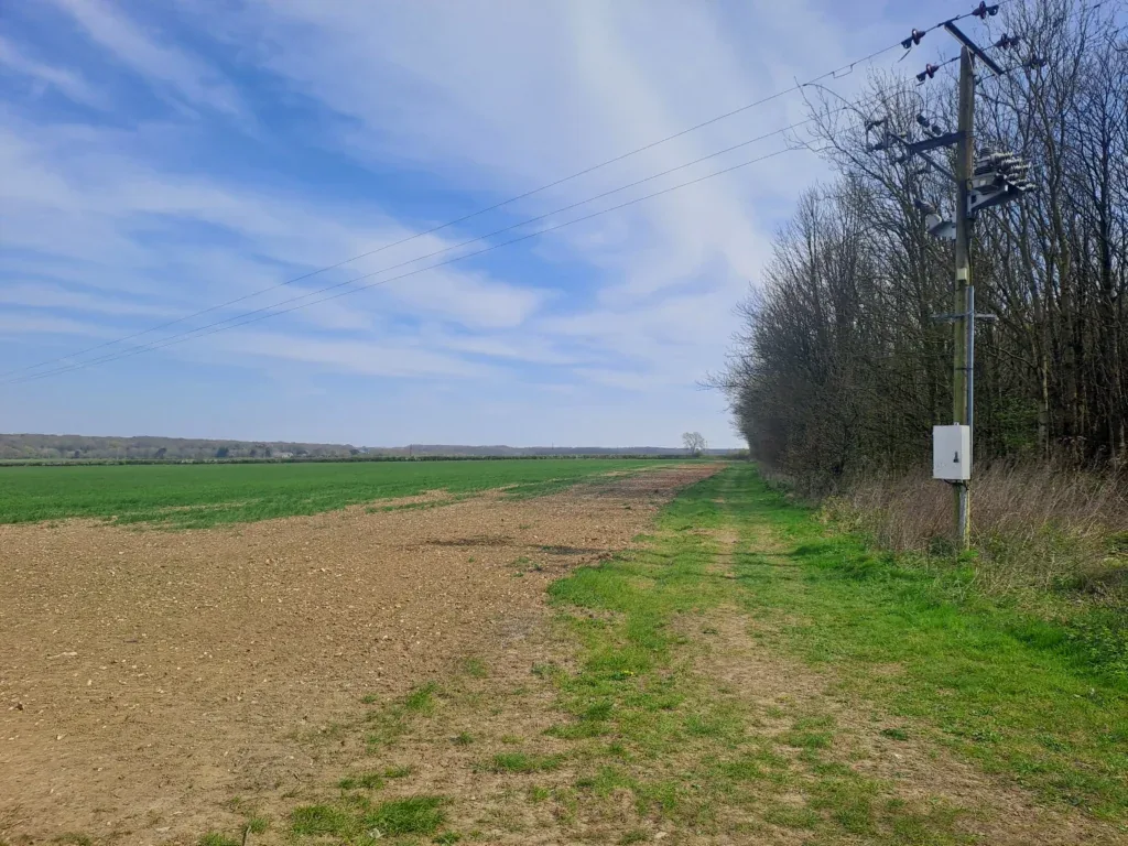
After a bit of walking, the route takes a right turn away from the motorway. The road then forks, but you’ll want to keep heading straight on, where you’ll cross the HS1 railway. You’ll then take a right turn, which takes you out beside a large field. Keep walking past the field, keeping the treeline on your left and the field on your right.
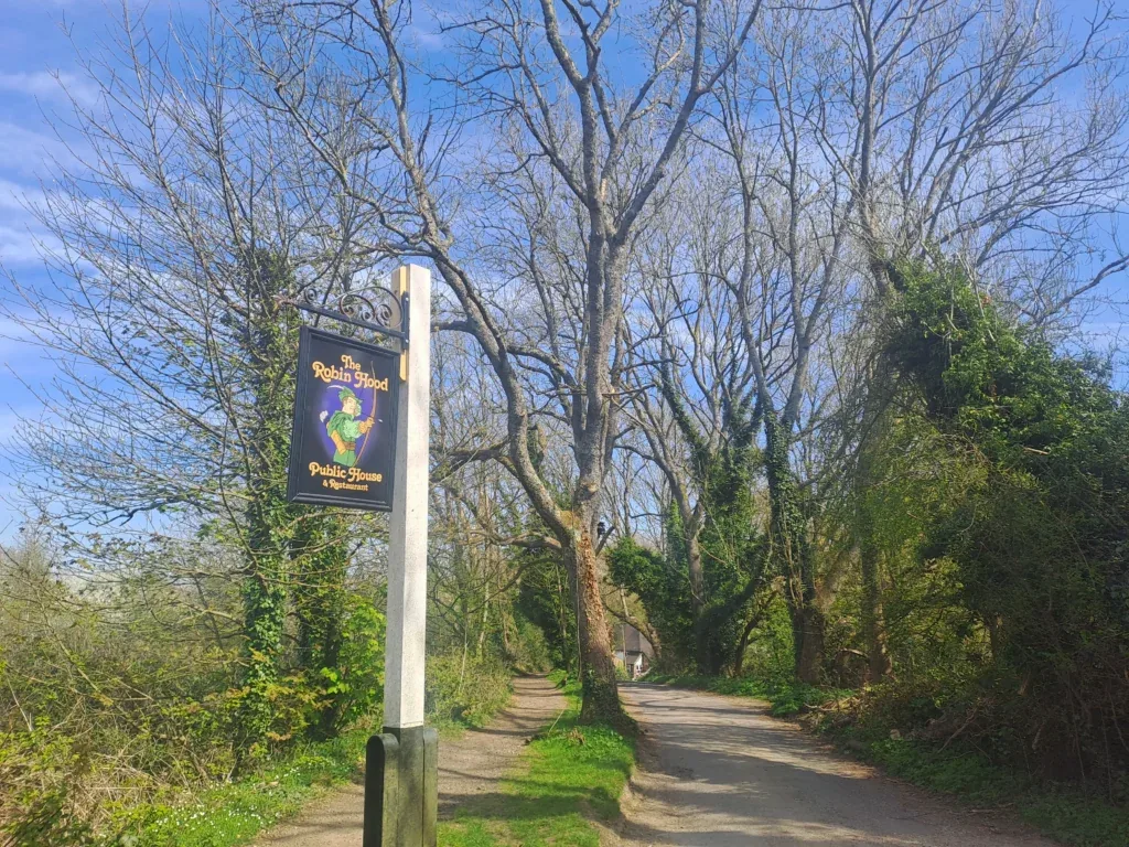
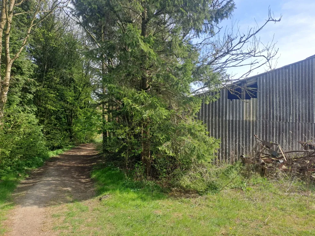
After some walking, you’ll get to the end of this field where there is a small path that goes into the trees. Once you get to this path keep following it straight on. You’ll be walking along here for a long time without any changes in direction. Just keep going straight through Shoulder of Mutton Wood. Eventually, you’ll come onto Hill Road, which you’ll also be following in more or less the same direction. There are quite a few junctions along this stretch with smaller roads and paths (including one by the Robin Hood Pub), but you’ll want to keep going across all of them.
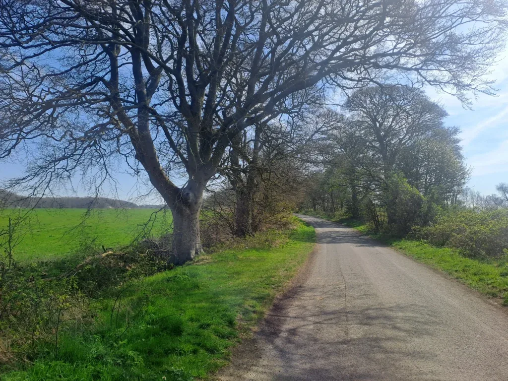
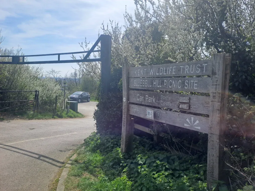
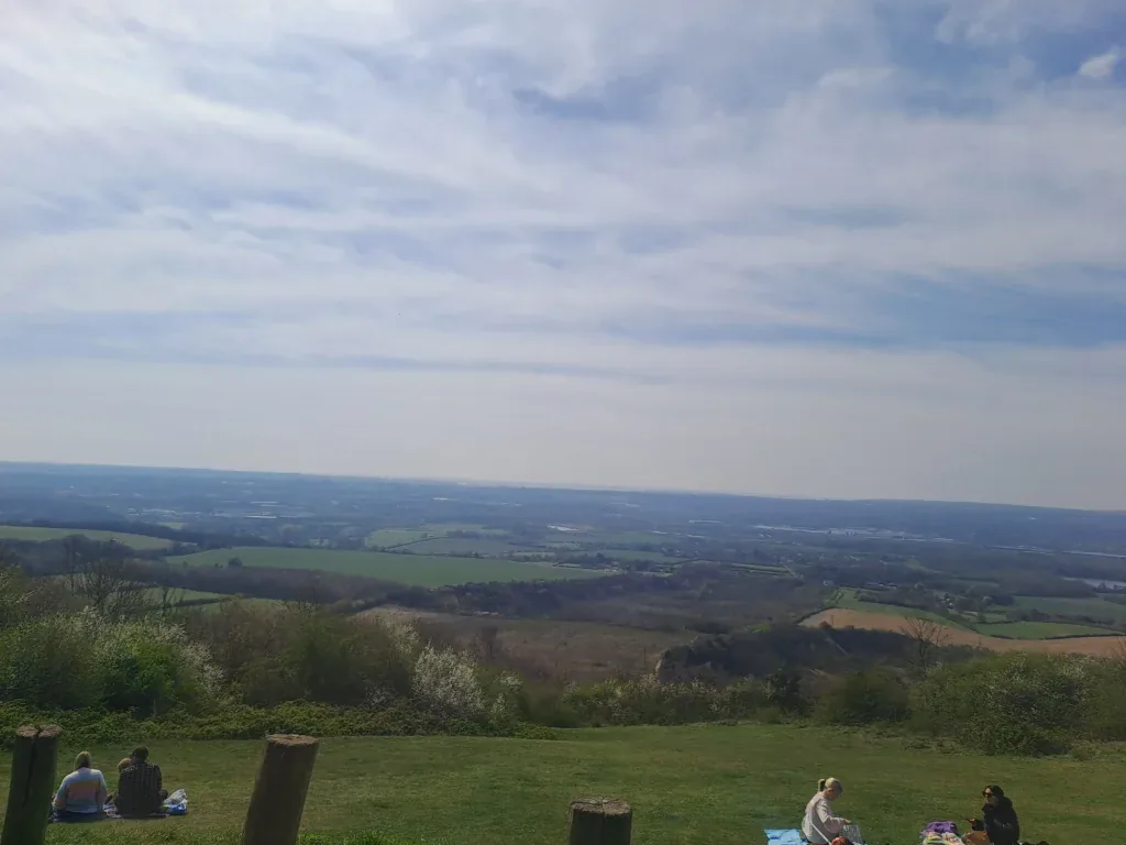
After several miles walking along here, Hill Road comes out onto Common Road, which you’ll also follow along. Eventually, you’ll reach the Blue Bell Hill Picnic Site, which you enter by taking a right turn into the car park. This is a lovely spot to take a break while taking in the surrounding scenery. When you’re ready to press on, you’ll find a path that runs parallel to Common Road.
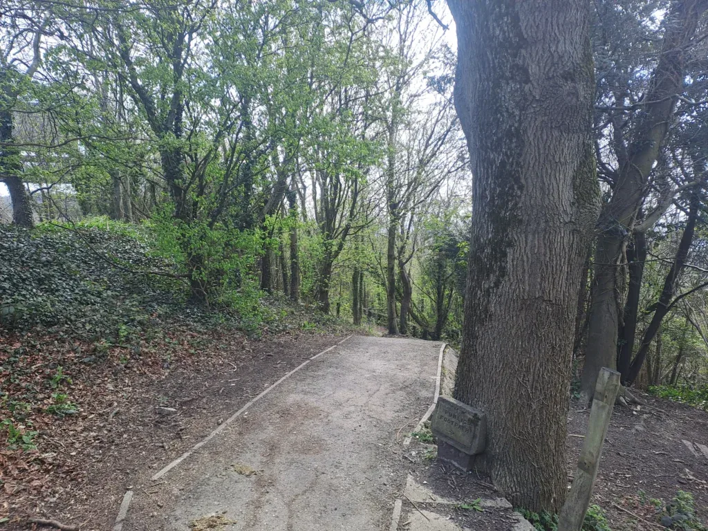
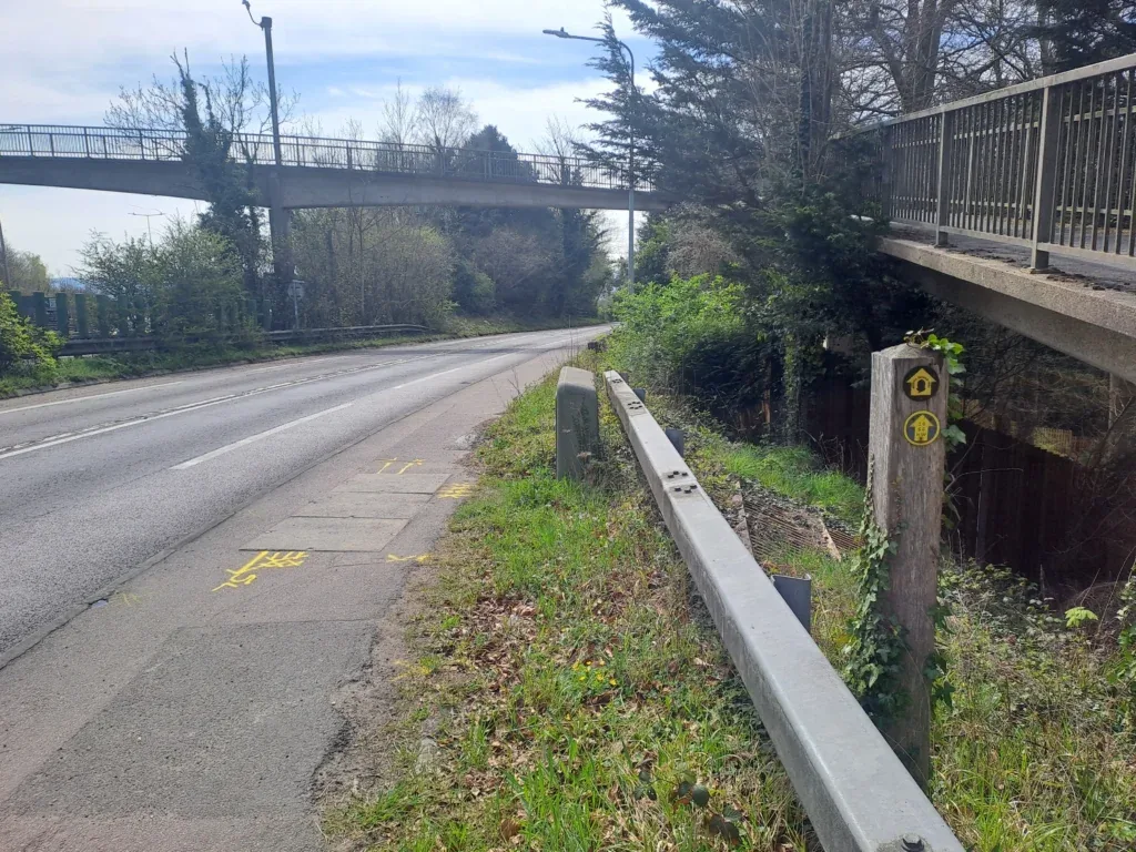
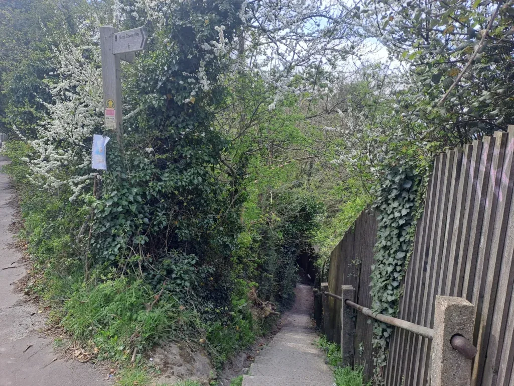
This path continues into the woods before turning right. At this point, you’ll be walking parallel to the A229, which will be through the trees on your left. Eventually, the path comes out of the woods and has you walking directly alongside the A229 for a brief stretch. Pass underneath the footbridge before taking a right turn down Chatham Road. After a short while, you’ll take another right turn, this time going down some steps and away from the road.
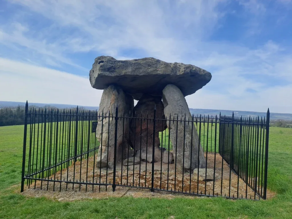
Follow the steps down where you’ll come onto a narrow wooded path. The North Downs Way continues straight on down this path, but make sure you look to your right so you don’t miss Kit’s Coty House (a Neolithic burial chamber) situated in a field just off the right of this path. There are also smaller burial chambers located around here if you have the time to check them out.
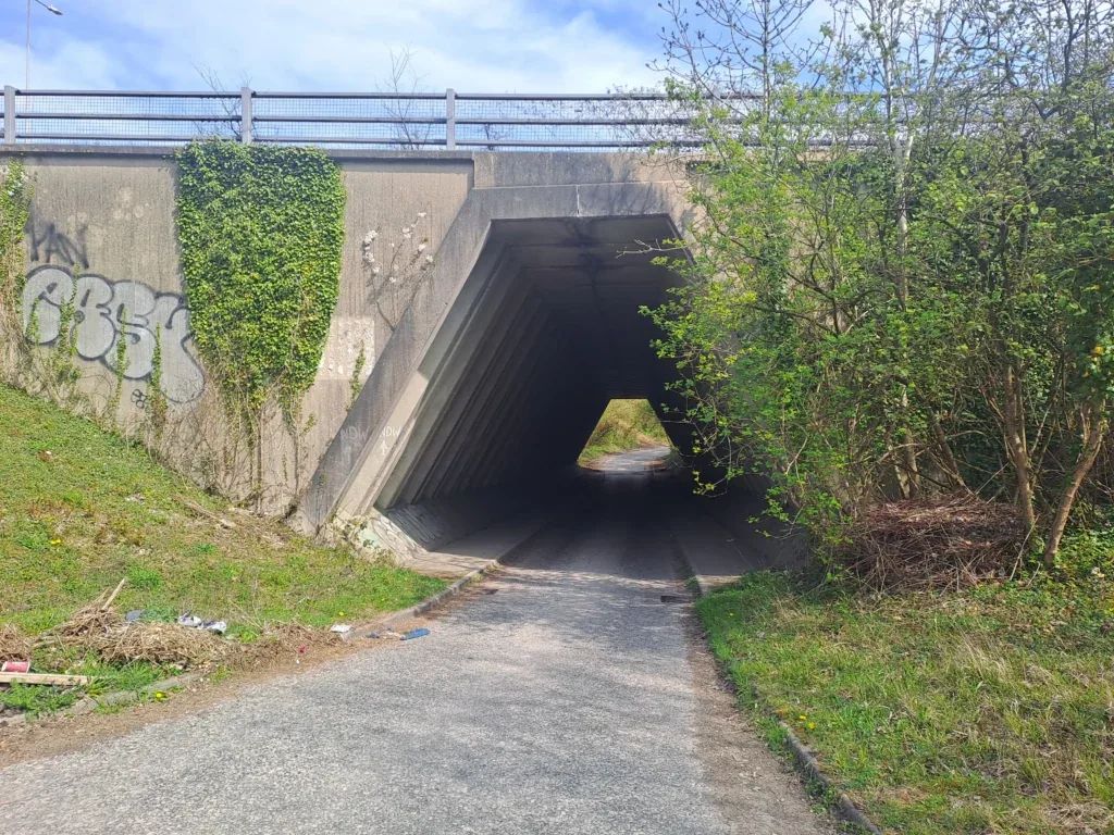
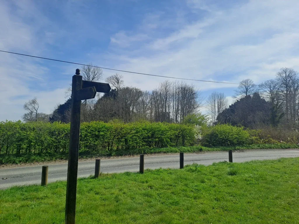
The wooded path then comes out onto a junction between Pilgrim’s Way and Rochester Road. You’ll want to cross over Rochester Road and walk down the wooded path that branches off to the right. Follow this road before taking a left turn and followed by a right turn underneath an underpass that allows you to cross the A229. This section isn’t well signposted, but to the person who wrote a North Downs Way marker in chalk by the underpass, you are a legend.
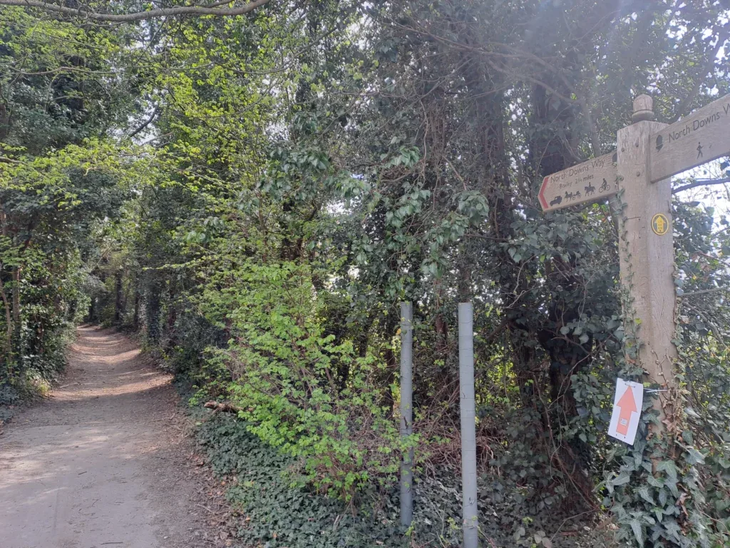
You’ll then come out by a petrol station, which can be a good place to stock up on water and some snacks if needed. Follow the Pilgrim’s Way path as it bends to the left before crossing a railway. You’ll then take a left turn off Pilgrim’s Way and up into the woods. This path begins as a gradual upward incline but quickly gets much steeper as you take a left turn into Westfield Wood. This part is well signposted as you keep heading upwards through the woods, just pace yourself as it’s quite a tough uphill climb.
After a while, you’ll come out on a large field with electricity pylons in it. Turn right and follow along the side of the field, keeping the woods on your right and the field on your left. The path then takes a right turn out of the field and into the woods, where you’ll continue walking parallel to the field through Boxley Warren.
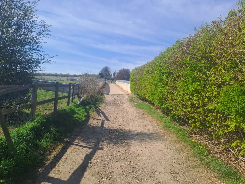
The North Downs Way then takes a left turn before bending right towards Harp Farm, which you should be able to see. The route takes you down the left side of Harp Farm before coming out by Harp Farm Road. Cross Harp Farm Road and walk straight across the field on the other side of the road. Cross this field before coming out next to Lidsing Road.
At Lidsing Road, you’ll take a right turn, then an almost immediate left back towards the Boxley Wood Nature Reserve. From here, it’s very straightforward where you’ll stay on this path for a bit over a mile before coming out onto Hermitage Lane. Take a right turn onto Hermitage Lane and follow the path as it descends into the small village of Detling.
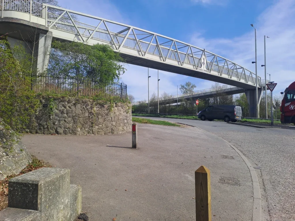
Hermitage Lane then connects with Pilgrim’s Way, where you’ll take a left turn towards the A249. When you reach the A249, use the footbridge to cross this busy road. This section of the North Downs Way ends right after the footbridge, where you’ll find the next metal North Downs Way signpost.
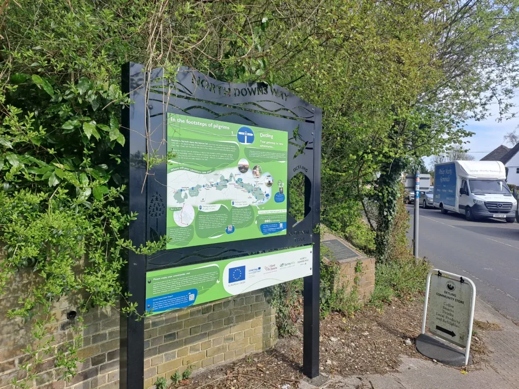
Congratulations! You’ve just completed this section of the North Downs Way trail. As I mentioned at the beginning of the guide, Detling is quite challenging to find your way out of. For public transport links, you can walk to either Bearsted or Maidstone train stations, although both are quite a distance. Otherwise, you can always get a taxi back to Cuxton. If you’re looking for a place to take a break before heading back, I’d recommend stopping at Detling Community Store, the owner is lovely and they do a great chicken tikka pasty.
When you’re ready for the next section, head over to our guide on walking from Detling to Lenham along the next section of the North Downs Way. If you’re considering staying overnight in Detling, see below our dedicated section for accommodation near the end of this section of the North Downs Way.
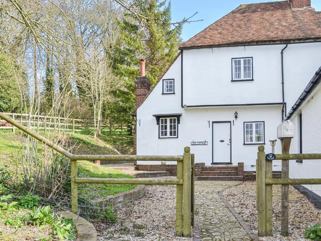
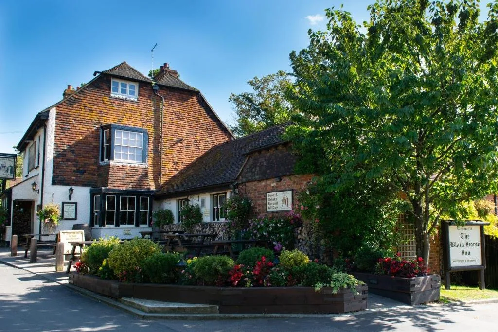
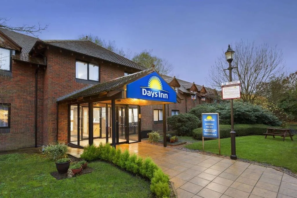
Accommodation in Detling
Detling and the surrounding area near Maidstone offer a few good options for an overnight stay. We’ve picked out the best-placed options below to make your planning easier – booking through any of our links below helps support our site at no extra cost to you.
Next Section
Detling to Lenham (9.3 miles)
The Detling to Lenham section of the North Downs Way is 9.3 miles long. However, the first half of this has quite considerable elevation gain, with many up-and-down sections that can make it fairly challenging. You’ll begin where the previous section ends beside the A249 motorway. The nearest train station is Bearsted, which is a 2.2-mile walk from the start.
Previous Section
Otford to Cuxton (15 miles)
The Otford to Cuxton stretch of the North Downs Way is quite an epic trek, totalling 15 miles (or 24.1km) from start to finish. At the same time, the village of Wrotham serves as a nice midway point for this part if you want to break the section up into two smaller segments. The section begins right next to Otford train station, making this one of the most accessible start points for the North Downs Way.