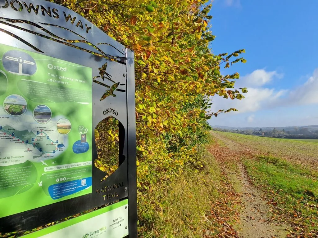
Walking from Oxted to Otford
Map will appear here
Weather Forecast for this Section
Route Directions
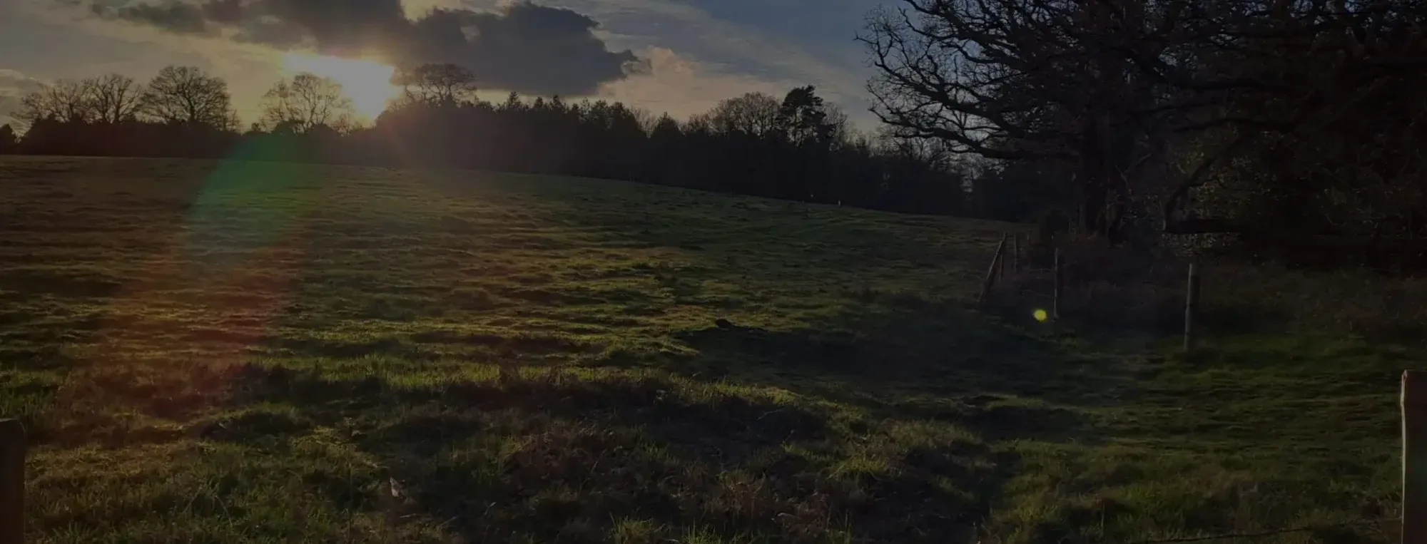
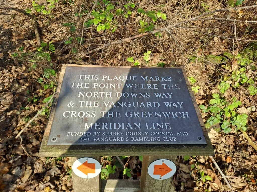
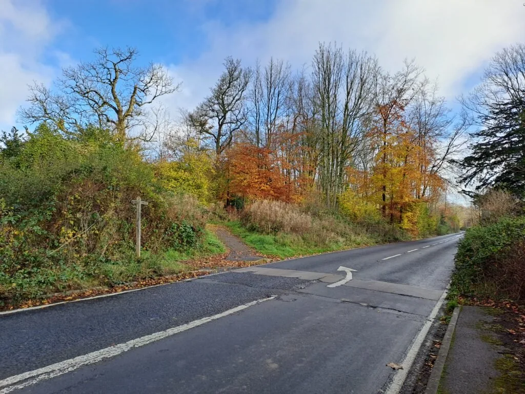
The next section of the North Downs Way begins just outside Oxted and finishes right next to Otford train station. Compared to previous sections, this is a fairly long walk of 12 miles or 19km. You can expect this distance to be slightly longer, given how inaccessible the start point is. All in all, expect to be walking an additional mile if you begin walking up from Oxted train station (it’s also a gradual uphill incline getting across the M25 so bear that in mind). The official start point is designated by a metal sign in the top left of a field just across from the M25 and to the right of Limpsfield Lodge Farm. From the start point, the route briefly follows alongside the Vanguard Way as you walk along the top of this field, keeping the forest to your left-hand side. At the midpoint of the field, you’ll notice a plaque marking where both routes cross the Greenwich Meridian Line.
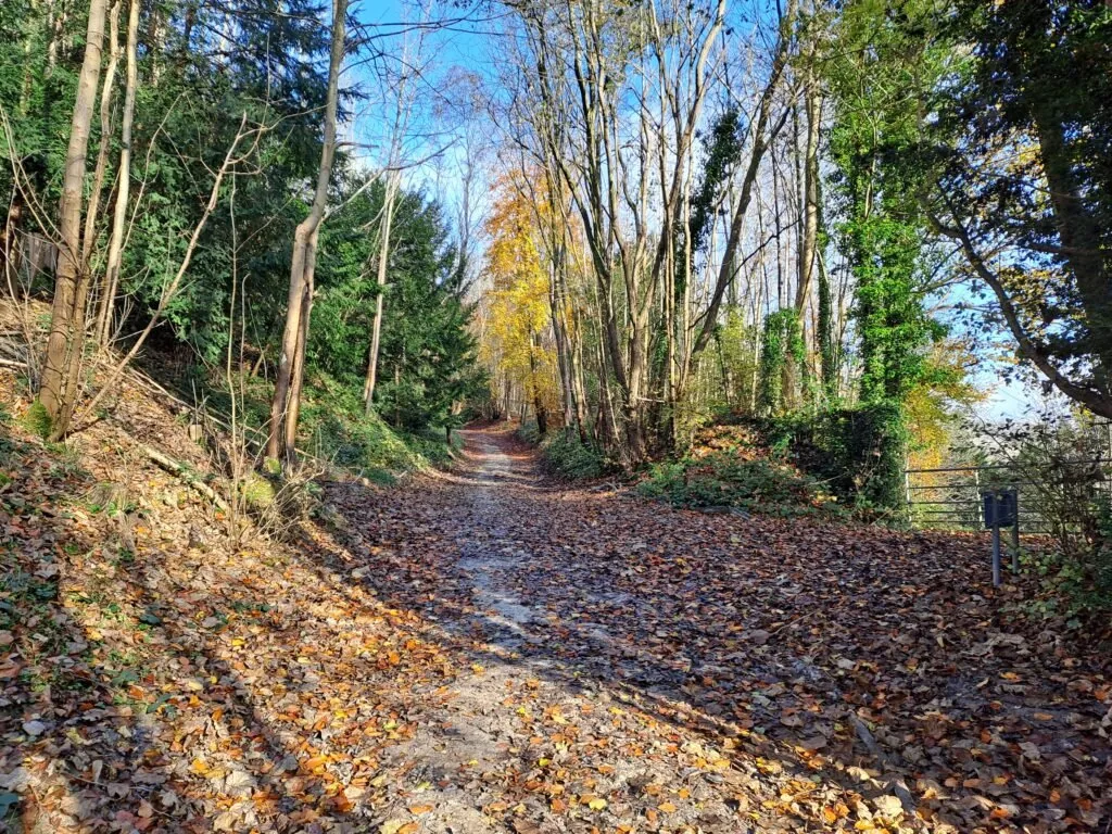
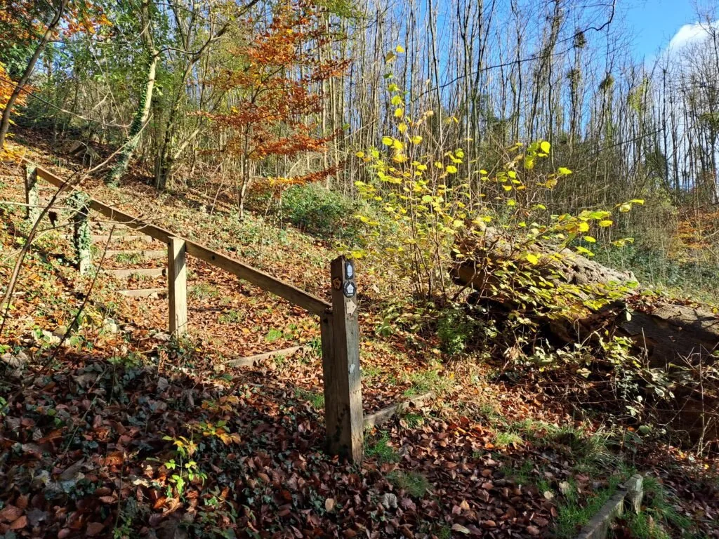
Once you reach the end of this field head down some wooden steps before turning left and beginning your ascent up Pitchfont Lane (going straight across the Titsey Plantation, of which you’ll likely see signs). During my time along the trail, there was no shortage of sticks lining either side of this lane. Be sure to enlist one if you need some additional support getting up the steep incline. Continue walking up until you reach the Titsey Plantation car park, which will be on your right. At the car park, cross over Titsey Hill Road and follow the North Downs Way marker into the woods beside this road. For the next stretch, you’ll be walking parallel to Titsey Road on your right.
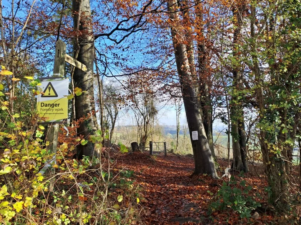
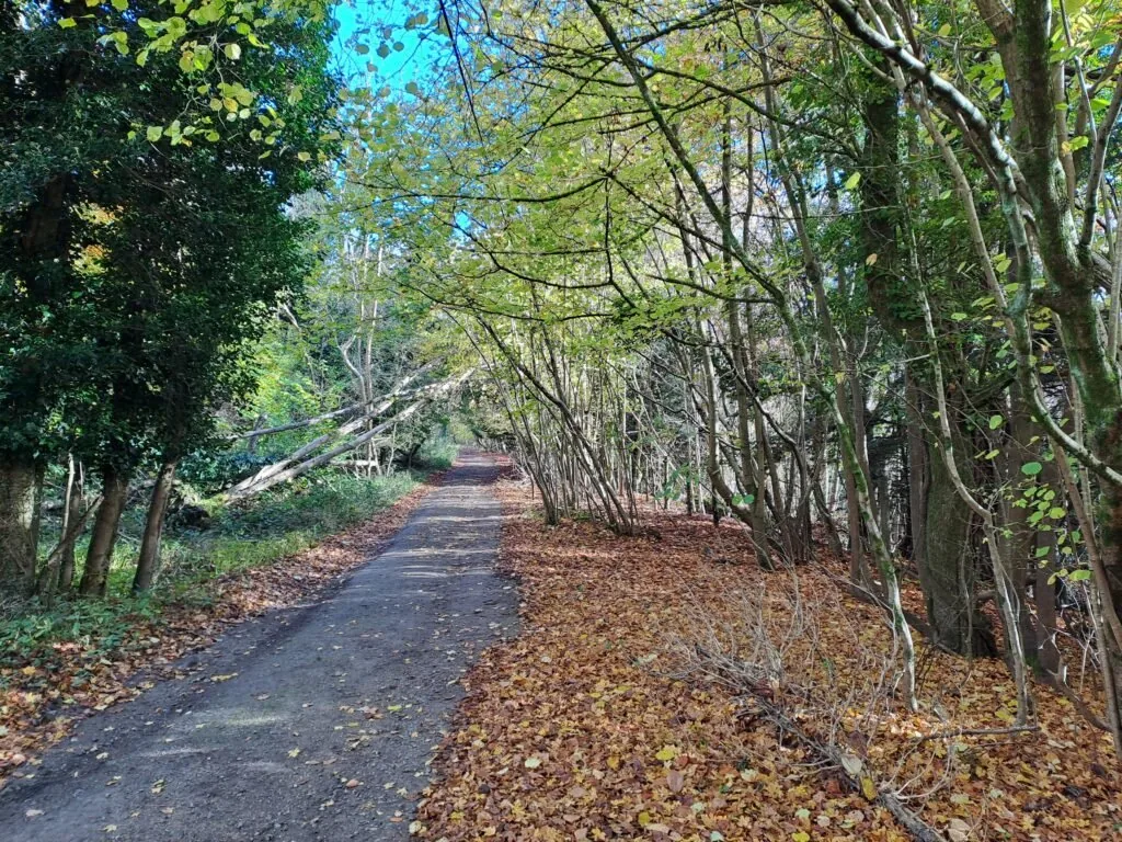
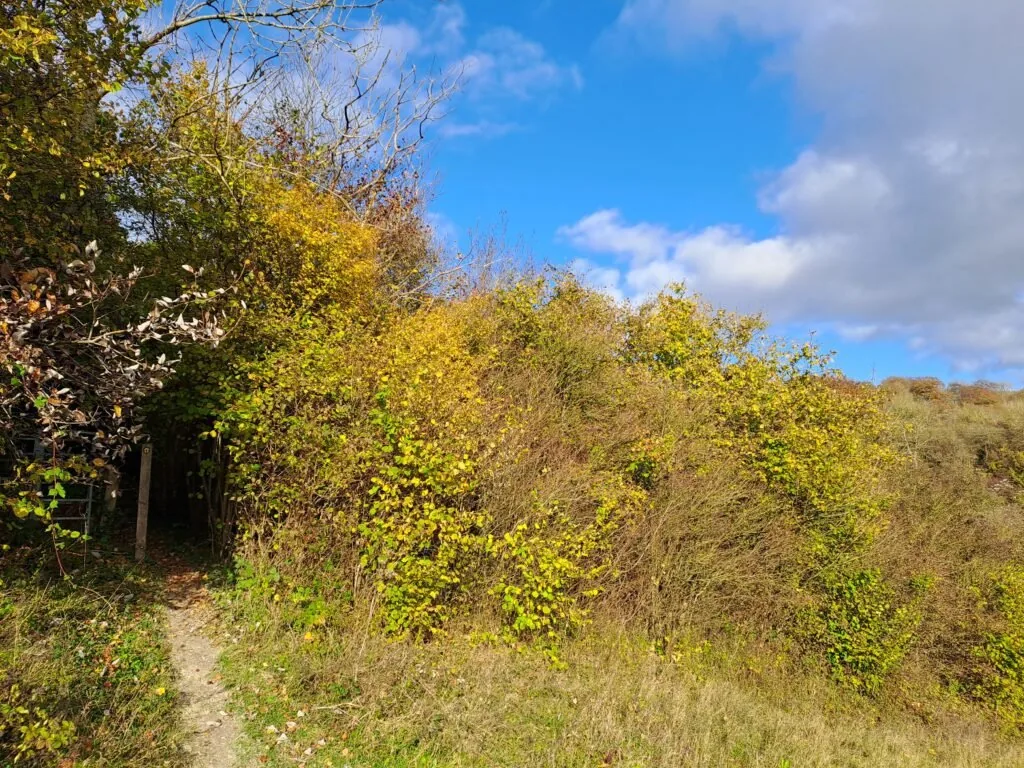
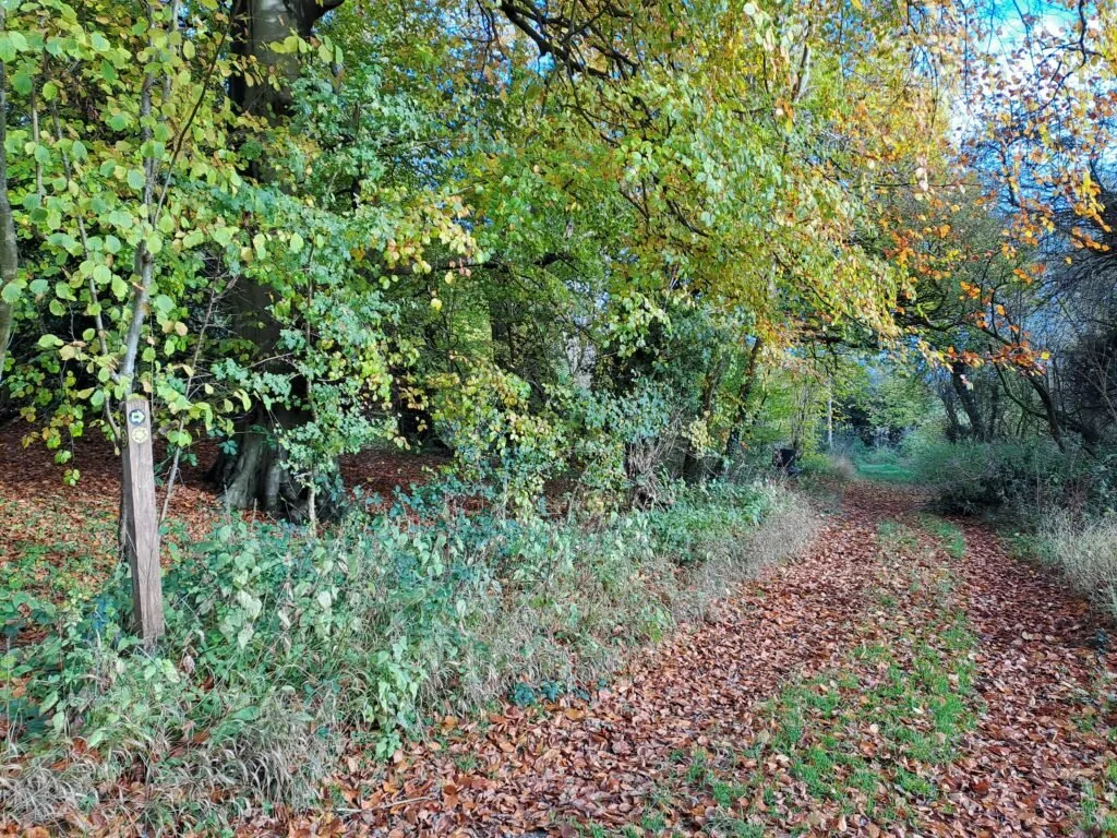
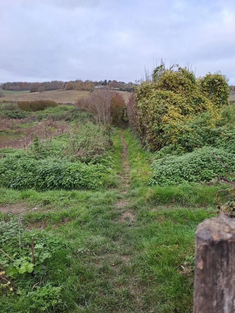
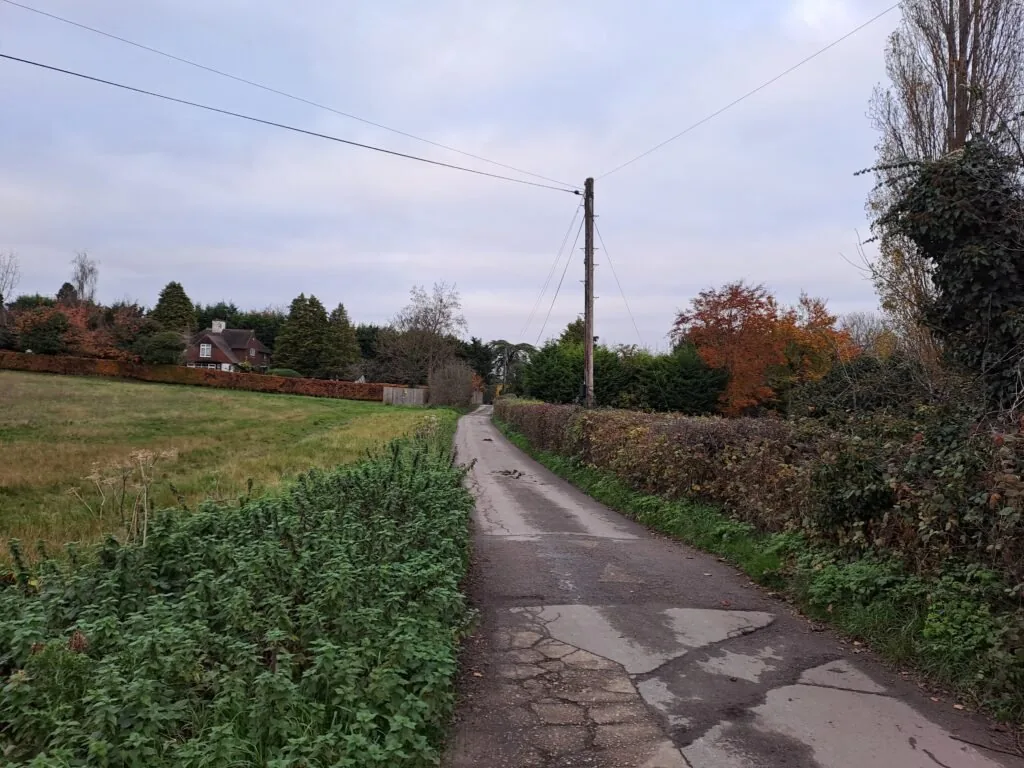
From here, you’ll continue for quite a while running parallel to this road. It’s a lovely stretch to walk down (especially in Autumn), although be warned that parts can get quite narrow and muddy. It turns out that wet chalk also poses quite a significant slip hazard, so proceed with caution. After some distance, the path turns left up some wooden stairs before turning right and crossing White Lane. At the time of my walk, the section following White Lane was mostly levelled during ongoing forestry work, which was a shame. That being said, you’ll still likely encounter your fair share of Pheasants running around (I tried to get some photos but they scare very easily).
Continue walking across the tops of fields before reaching a turn-in on your left that takes you up some stairs and next to Clarks Lane. The turn is slightly tucked away in the trees but just know that it comes in the middle of one of the fields so look out. Once on the road turn right before following signs for Parkwood Golf Club.
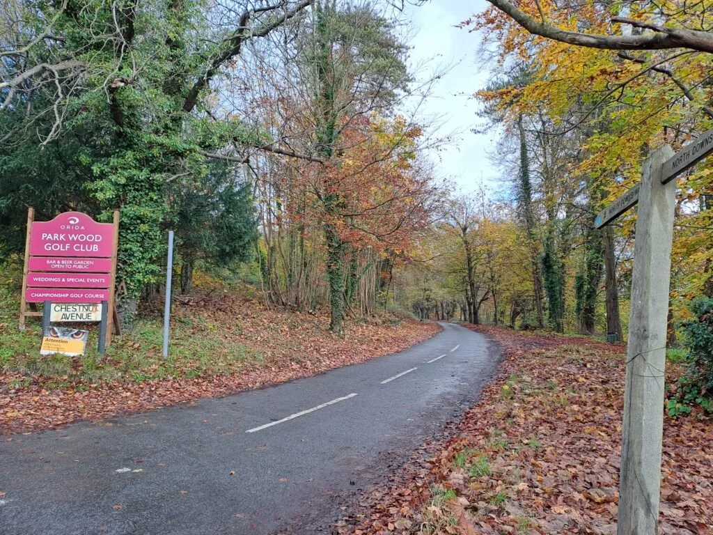
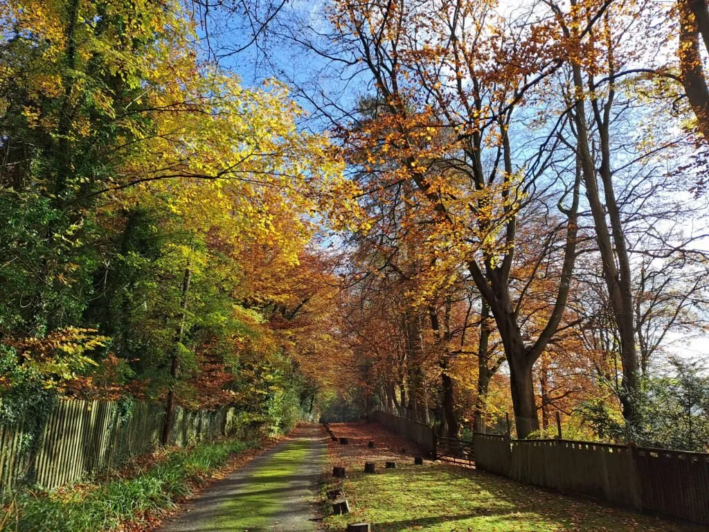
From here keep moving straight down Chestnut Avenue before making a slight right down The Avenue (feels like the same road). I really enjoyed this area surrounded by a picturesque Autumn treeline. You also walk straight along here for quite some time past a collection of large houses dotted on either side of the road. There’s some traffic along here but not very much.
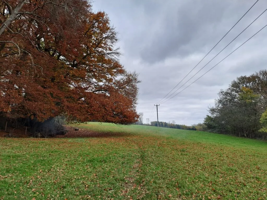
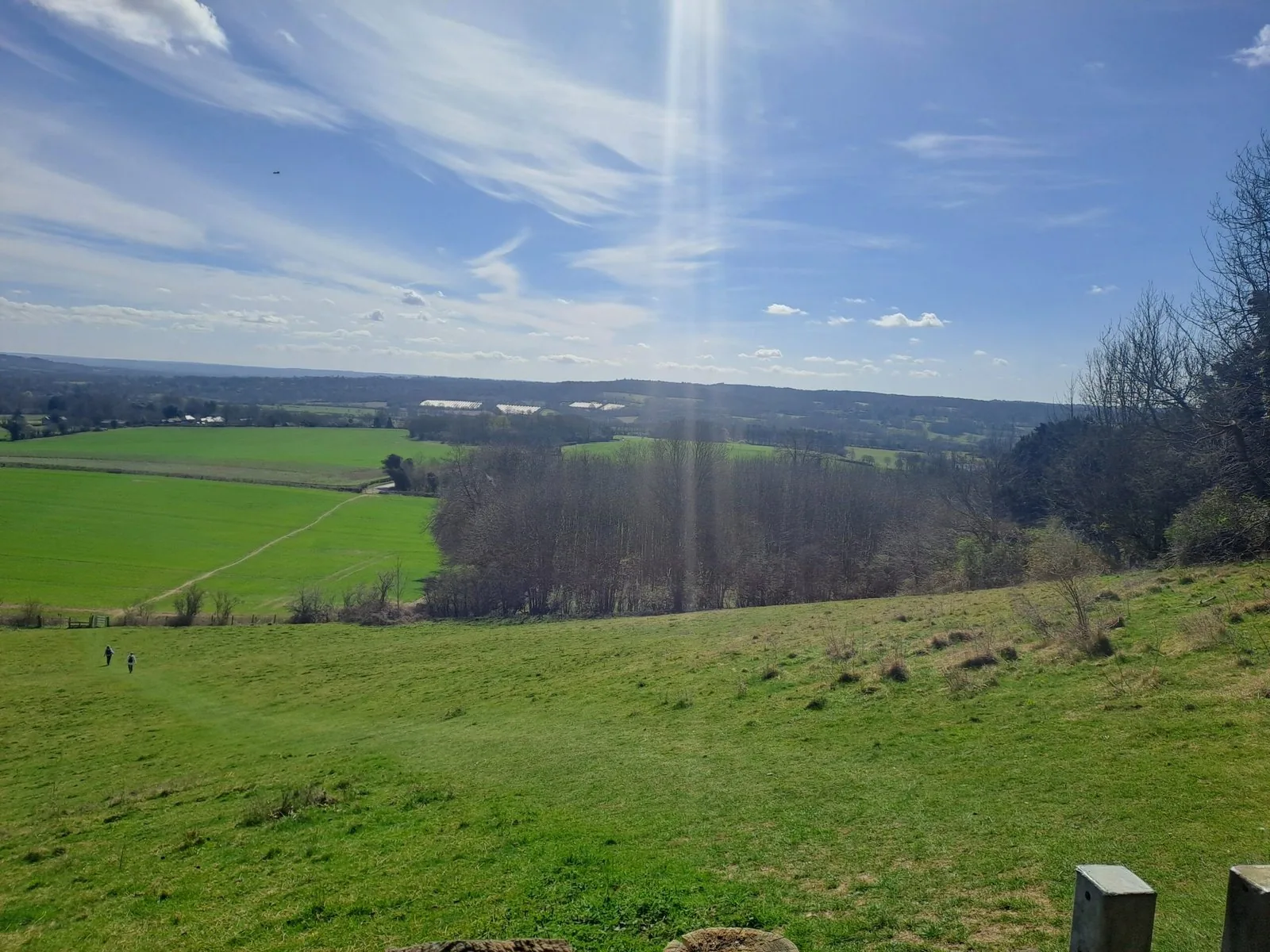
The path eventually intersects with the much busier Westerham Hill road. You’ll be required to immediately cross before taking some steps down and emerging onto a field. You then turn left and follow the path into the treeline. You’ll be following the same path more or less as the electricity pylons that begin to appear overhead. Parts of the route aren’t always clear along this stretch so using these as a guide came in handy. At one point, you’ll also walk right past an electricity pylon and up quite a steep incline. This provides a lovely view of the surrounding area, so it was a good spot to take a break before pressing on.
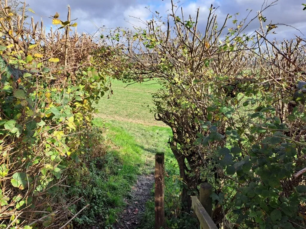
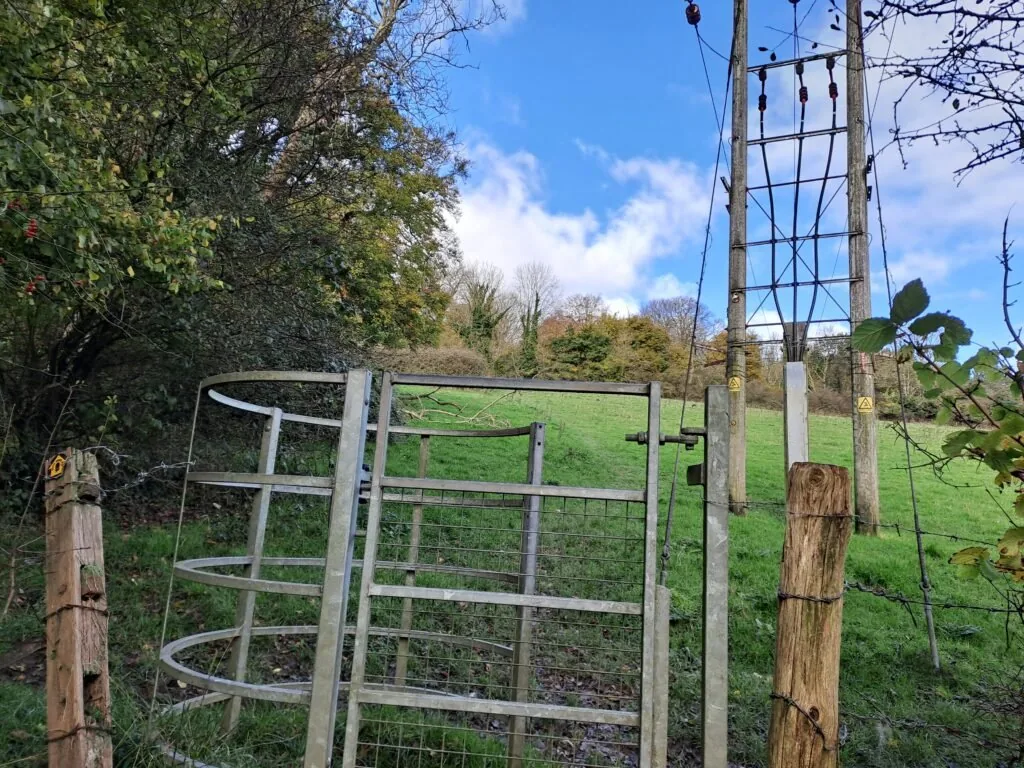
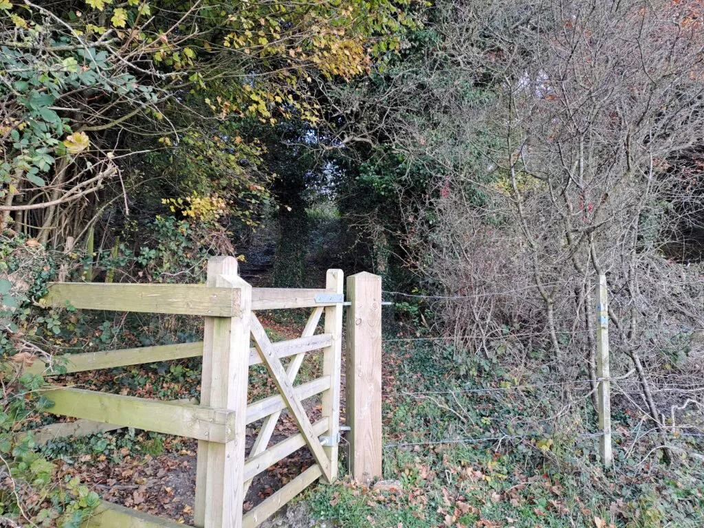
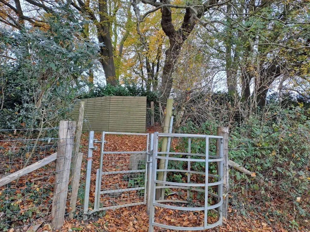
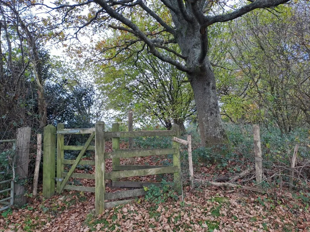
Once past the pylon and up the hill, the path takes you back into the forest before turning right along a side road. The route then crosses a field overlooking the surrounding area before turning left through more metal gates. For the next part, my best advice would be to keep using the electricity pylons for guidance. Lots of the markers in the following fields seem to have been broken off, which is annoying. You’ll be walking in the same direction, staying just to the left of the overhead wires. If in doubt, take a look at the map above to make sure you’re heading along the right path. Be on the lookout for a metal gate right after a large oak tree (third picture below), once through this gate, you’ll turn immediately right and keep following along in the same direction as the overhead wires.
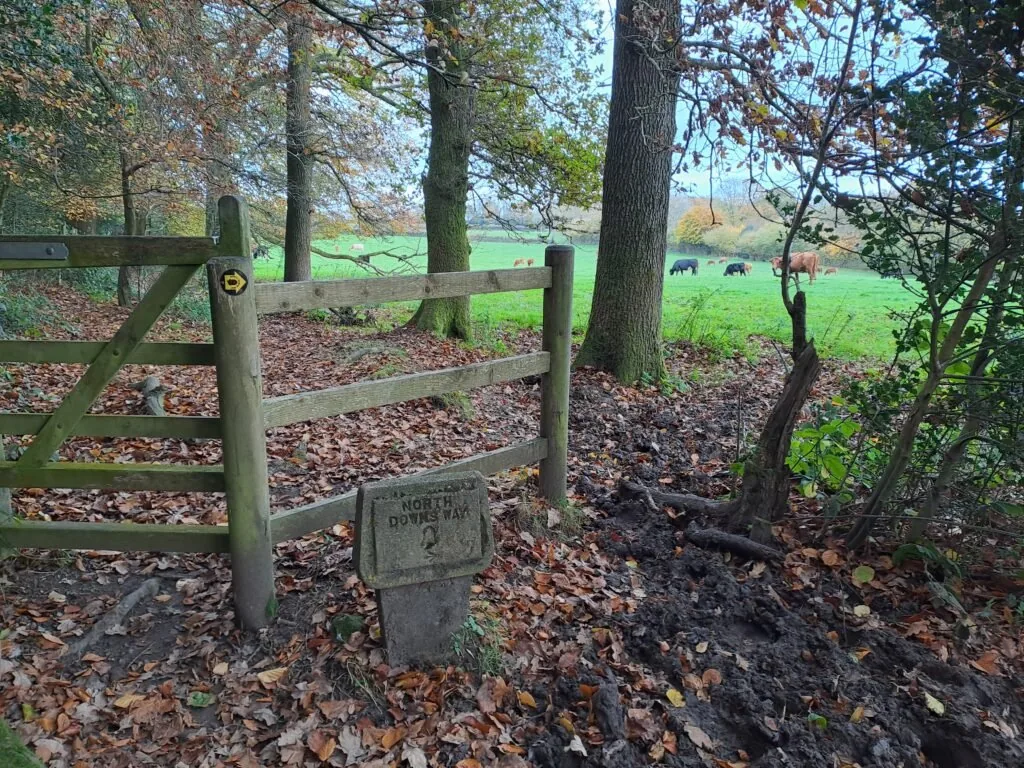
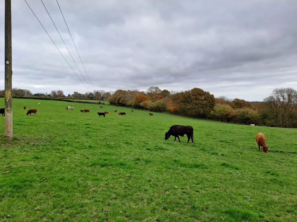
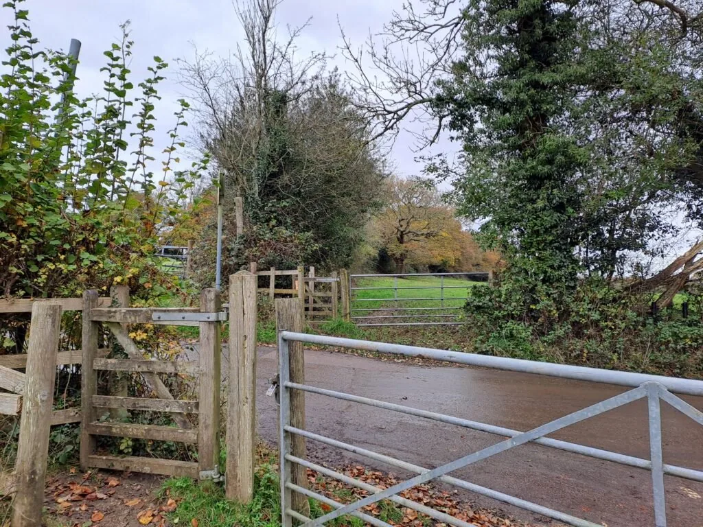
From here, the path continues towards Joeland’s Wood. The path then directs you to take a right across a field that, for me, was full of cows who didn’t seem too interested in me making my way through. After crossing the field, you follow it around to the left before exiting the field and crossing the Nower Road. You then head straight through another field before crossing Brasted Hill Road and continuing across yet another field. Parts of this section were very muddy, so be sure to watch your step.
At the end of the third field, the signs become a bit confusing. The North Downs Way marker invites you to go to the right and fall into a large crater which seems completely inaccessible. The smart thing to do is ignore this sign and continue through the next field. The treeline should be on your right and the open field on your left. The signs then pick up once you cross to the other side. Here you’ll bend around the field before crossing Sundridge Lane.
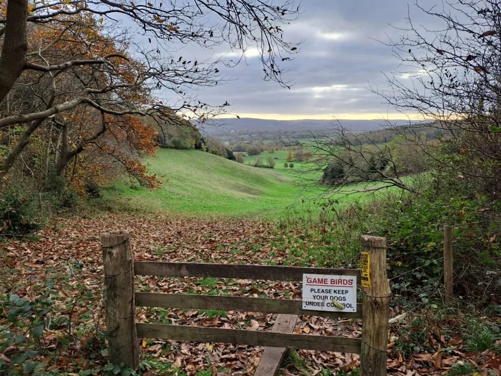
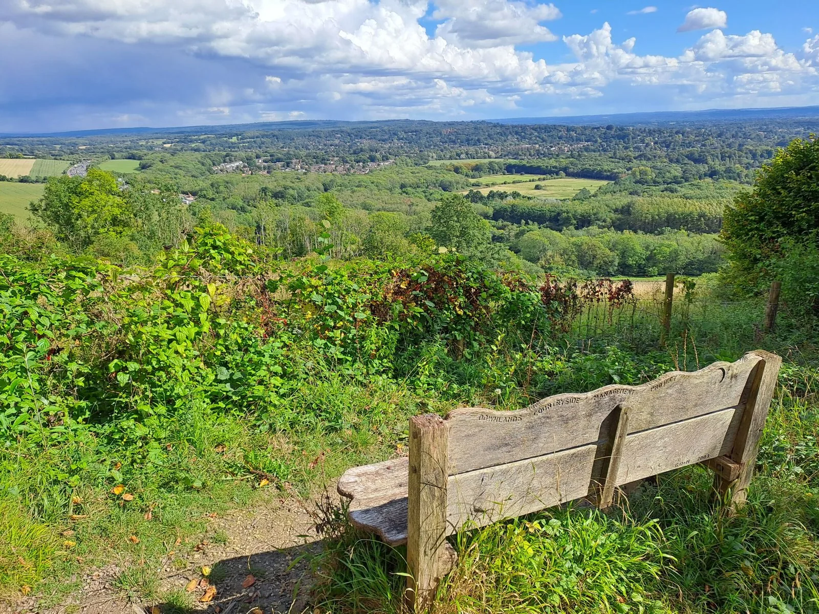
Once across Sundridge Lane, the route continues straight for a bit before making a right turn as you get to a large field. After turning, you should see the remains of an old gate with two stone walls. Continue following the field around before walking straight on. You’ll then shortly encounter a lovely viewpoint with a bench alongside a direct view across to Chevening House in the far distance. This is a great place to take a break before pressing on.
From here, keep moving straight for a bit towards Lee Wood. The path then bends around, running parallel to Star Hill Road. I actually lost the path here and instead accidentally walked in the direction of Chevening House and the estate surrounding it. I was able to reconnect with the path by making a right turn at St Botolph’s Church. Doing this detour provided a lovely view of the estate as I walked down into a valley. As long as you’re heading downhill at this point, you should be on the right track. A good point of reference is Morants Court Farm just off the side of Sundridge Road, as the North Downs Way goes right along past it.
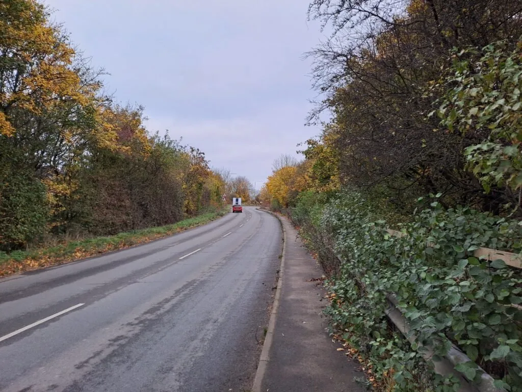
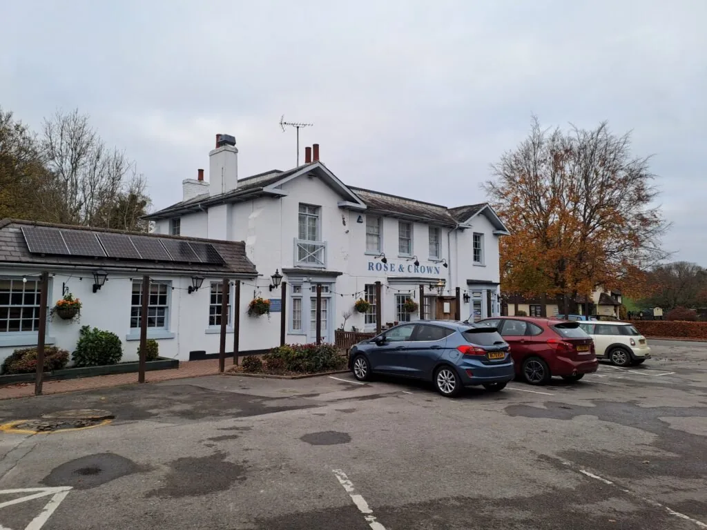
Once on Sundridge Road, ahead lies quite a perilous section. The North Downs Way route follows Sundridge Road up to a roundabout up ahead. The only issue is that the pavement disappears entirely for parts of this, making it very hazardous for pedestrians. Make sure to keep dogs on leads for this part and be prepared to fling yourself into the bushes if a speeding car decides to come round the bend. At the roundabout, turn right and cross the M25. You then take a left turn at the Rose and Crown Pub up ahead. From here keep moving down London Road before making a right turn just before the Donington Manor Hotel. The turning is quite tucked away so keep an eye out.
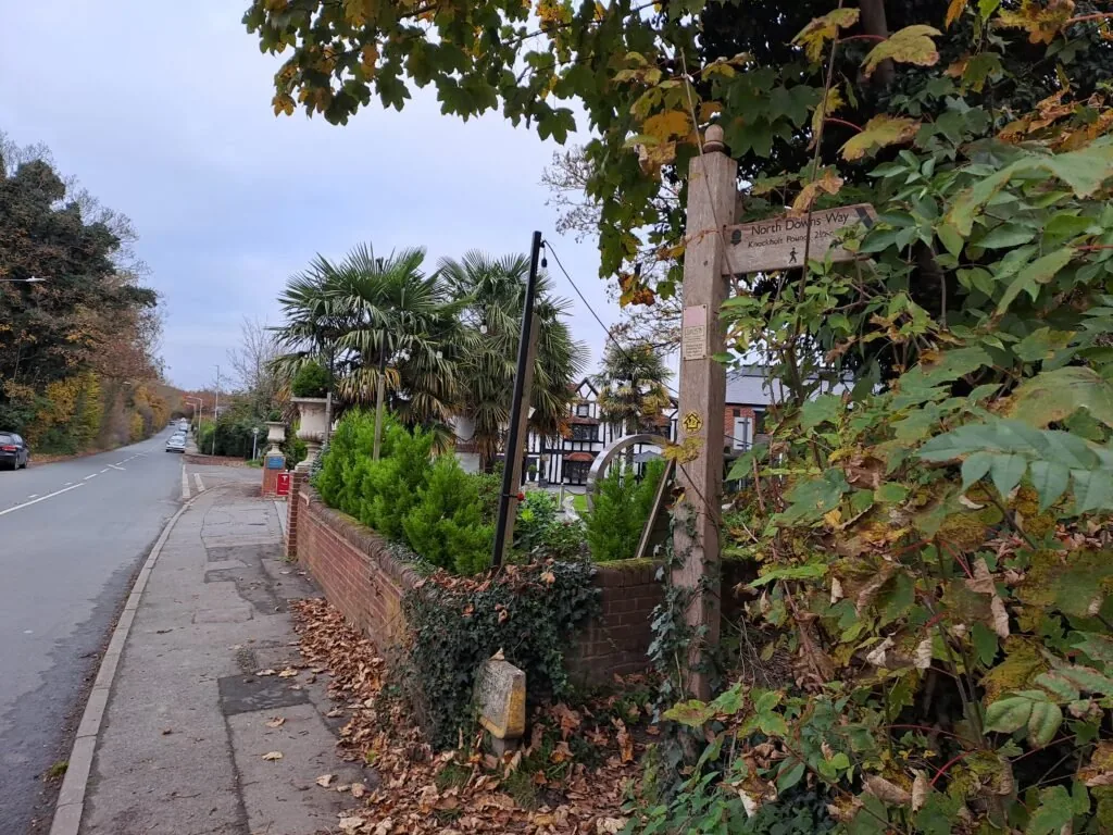
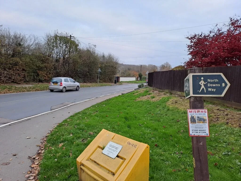
At this point, the route becomes very linear for the next mile or so. You’ll cross a stone bridge overlooking the train tracks before coming into the more suburban part of Otford. Keep heading straight until you reach a T-junction connecting you with the Pilgrims Way West Road. You’ll turn right here before continuing into the centre of Otford and past some lovely pubs and shops. The official endpoint of this section is next to the train station. When you get to a roundabout, you’ll want to cross and continue into the grounds of St Bartholomew’s Church.
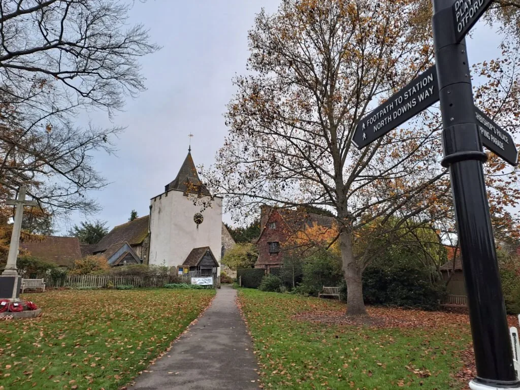
The route then passes through the cemetery which will be on your right-hand side. Walk through a gate and continue for a short while down a narrow path. The path then emerges just outside Otford Train Station. You can find the metal North Downs Way marker just to the left of the station entrance.
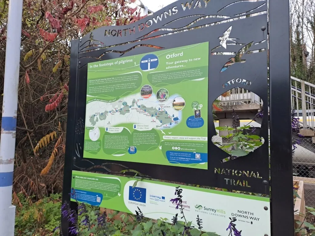
Great work! You’ve just completed yet another section of the North Downs Way national trail. The next official section charts a course from Otford to Cuxton, but it can be a good idea to break this part into two shorter sections: first, Otford to Wrotham, then Wrotham to Cuxton. The easiest way back from Otford is (not too surprisingly) the train station right next to the finish. Well done on getting this far. If you’re considering staying overnight in Otford, see below our dedicated section for accommodation near the end of this section of the North Downs Way.
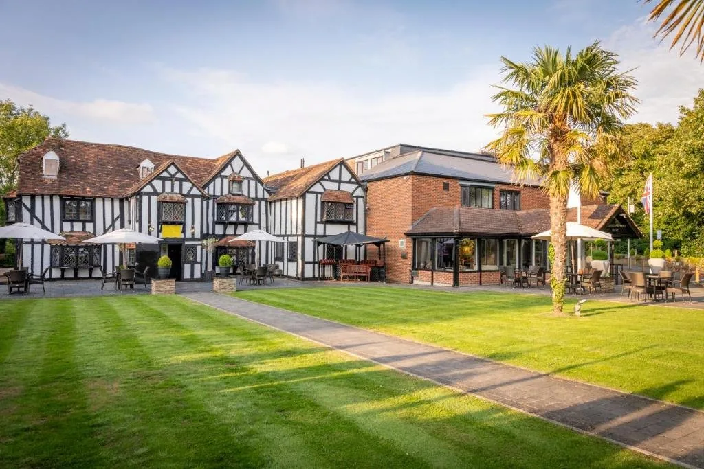
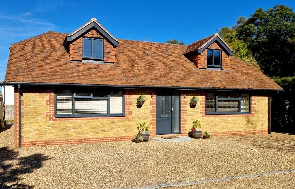
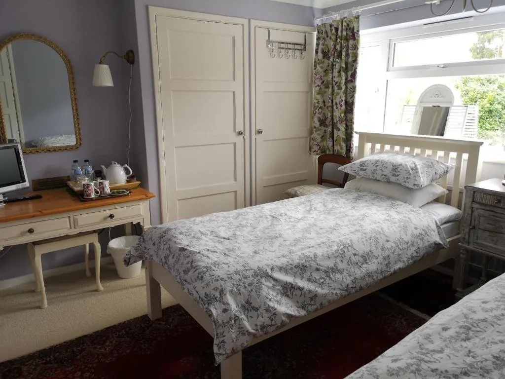
Accommodation in Otford
Otford and nearby Sevenoaks offer a good selection of places to stay, particularly useful before tackling the long stretch to Cuxton. We’ve picked out the best-placed options below to make your planning easier – booking through any of our links below helps support our site at no extra cost to you.
Next Section
Otford to Cuxton (15 miles)
The Otford to Cuxton stretch of the North Downs Way is quite an epic trek, totalling 15 miles (or 24.1km) from start to finish. At the same time, the village of Wrotham serves as a nice midway point for this part if you want to break the section up into two smaller segments. The section begins right next to Otford train station, making this one of the most accessible start points for the North Downs Way.
Previous Section
Merstham to Oxted (8 miles)
The route picks off right next to Merstham Cricket Club before heading towards Quality Street. When following the North Downs Way, you’ll actually curve around the small village of Merstham as you take an immediate left away from the village centre. You then briefly walk down Quality Street before turning diagonally right down a covered dirt path. This leads to a footbridge that crosses the busy M25 motorway.