Walking from Merstham to Oxted
Map will appear here
Weather Forecast for this Section
Route Directions
This section of the North Downs Way involves walking from Merstham to Oxted, encompassing a total distance of 8 miles. The route picks off right next to Merstham Cricket Club before heading towards Quality Street. When following the North Downs Way, you’ll actually curve around the small village of Merstham as you take an immediate left away from the village centre. You then briefly walk down Quality Street before turning diagonally right down a covered dirt path. This leads to a footbridge that crosses the busy M25 motorway.
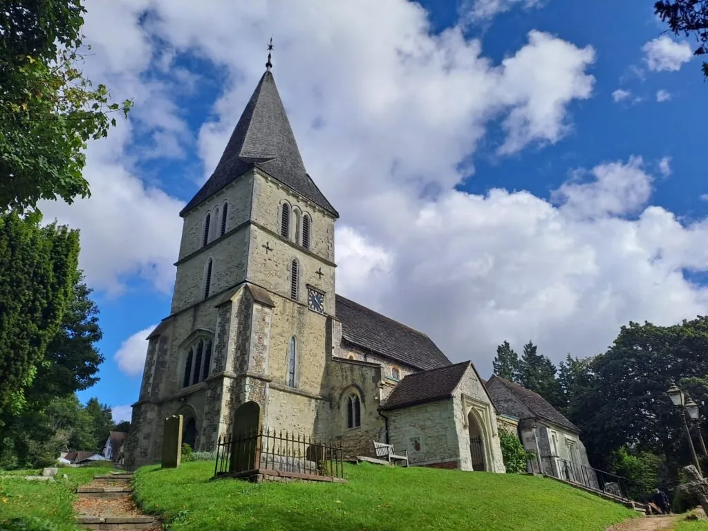
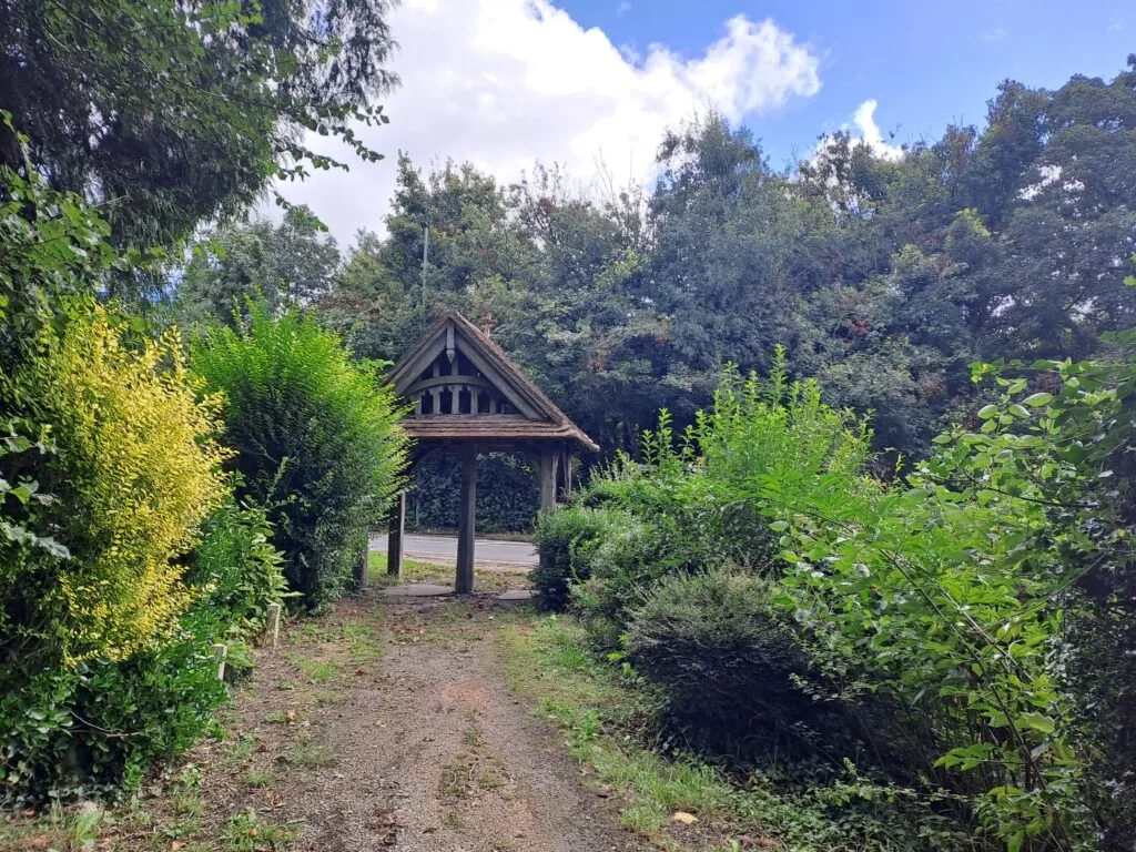
Past here, I was lucky enough to see some sheep grazing on the lawn to the right just after crossing the bridge, so dogs are best kept on leads. You’ll continue walking straight until reaching a main road. Upon crossing, you’ll be on the approach to St Katherine’s Church, of which you’ll walk across the front. When you’re finished taking in the sight of this beautiful church, continue out of the grounds towards the very busy London Road, crossing under a wooden arch.
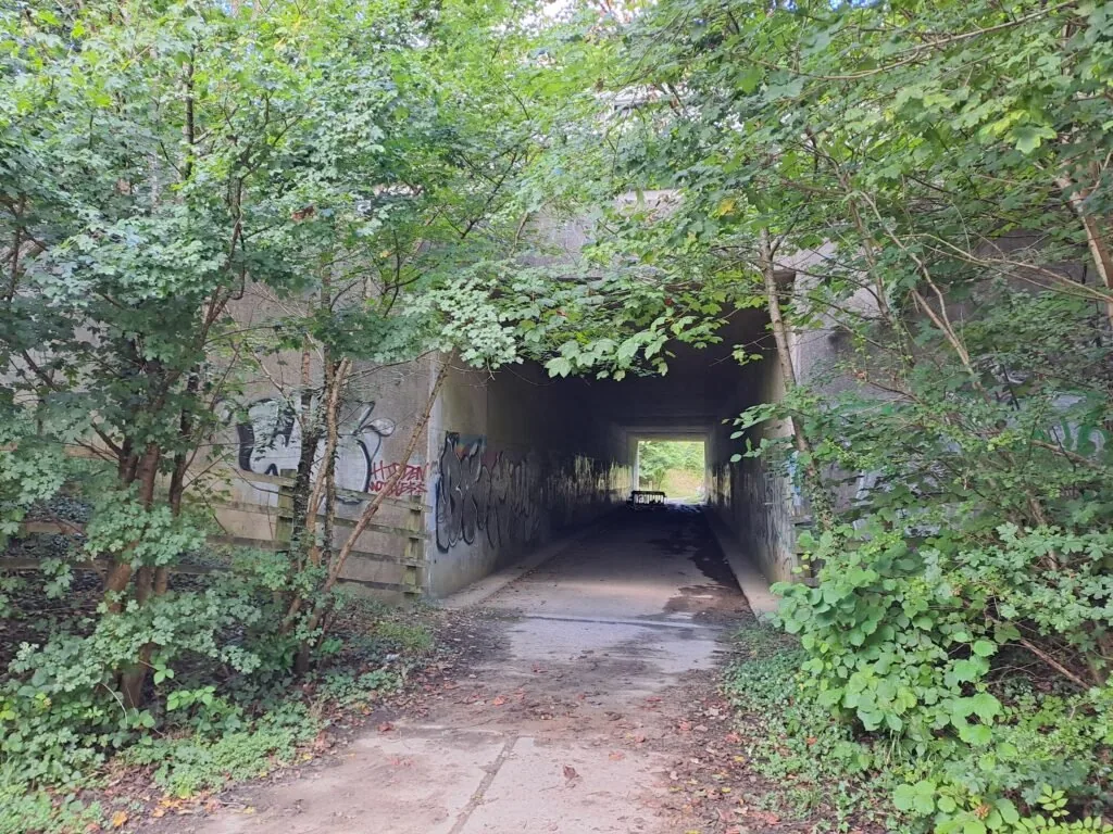
When you reach London Road, you’ll want to cross to the other side. Be careful as this road has lots of fast moving traffic just leaving the motorway. Once across, you’ll want to briefly head to the right before turning left down Rockshaw Road. If you cross another bridge over the M25 (like I did), know that you’ve gone too far and are actually heading back into the centre of Merstham. You’ll continue down Rockshaw Road, crossing two railway bridges with quite lovely views of the railway and surrounding greenery. The street then becomes much more residential with some quite large houses on either side of the road. After heading down Rockshaw road for some distance, you’ll see houses on the left-hand side disappear. Before they start up again, you’ll see the entrance to a wooden path, taking you away from this section of residential walking and back into the woods. The path bends round before turning right under a dimly lit underpass under the M23.
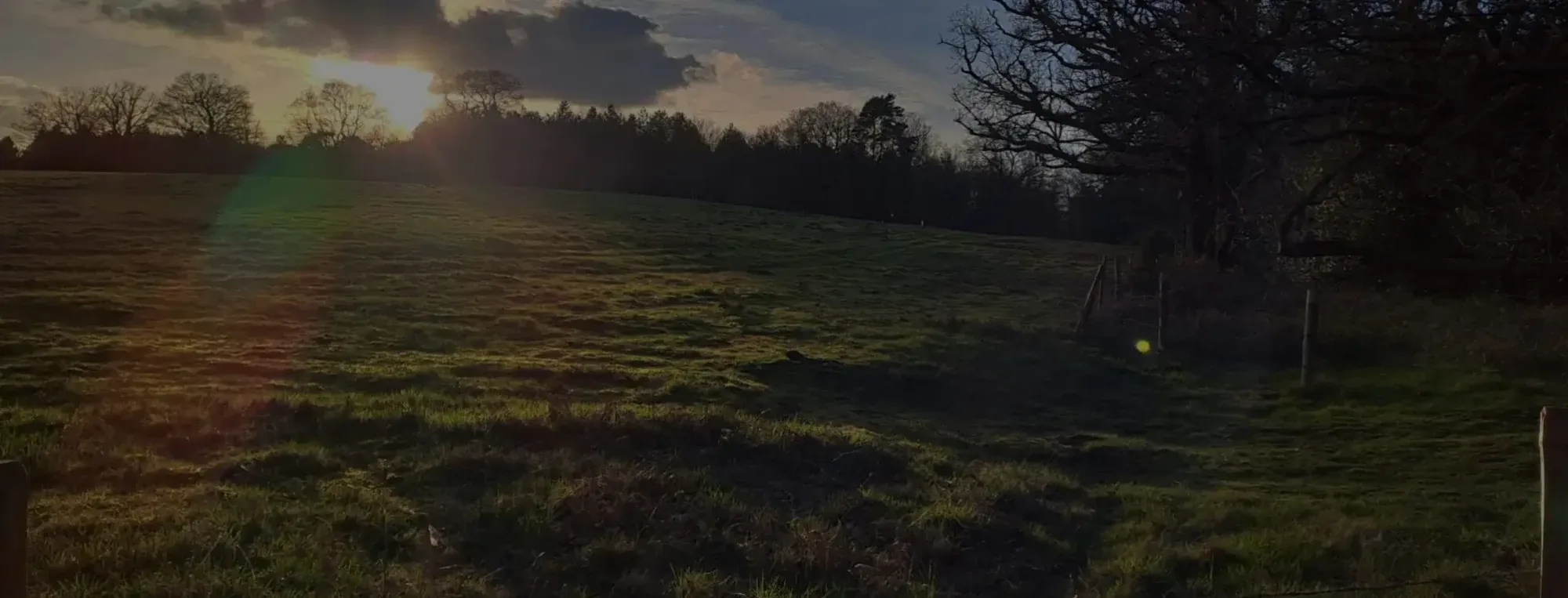
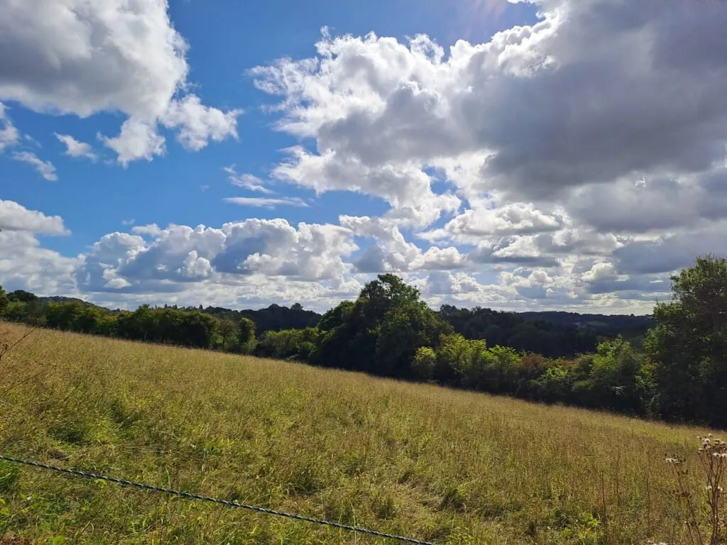
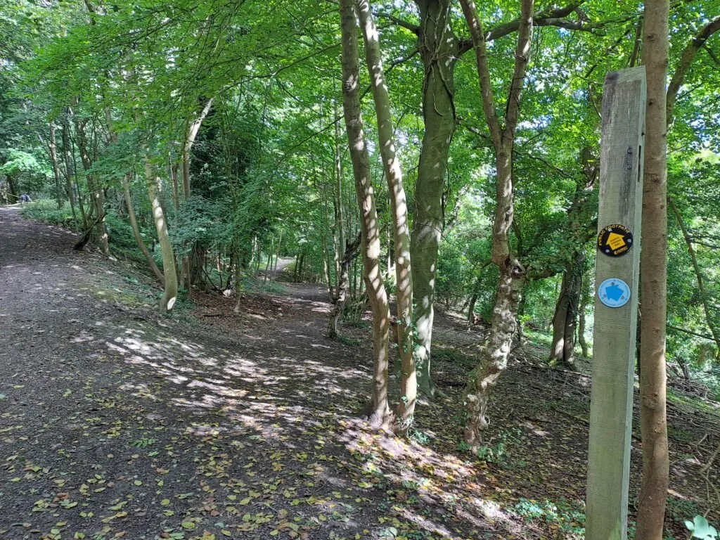
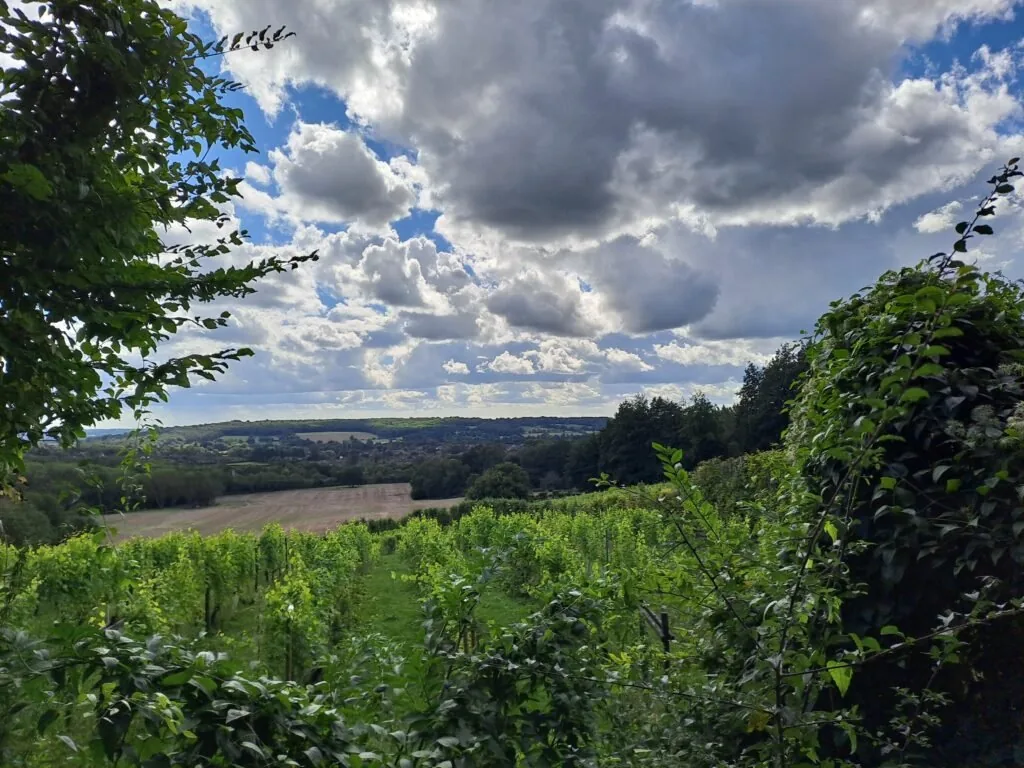
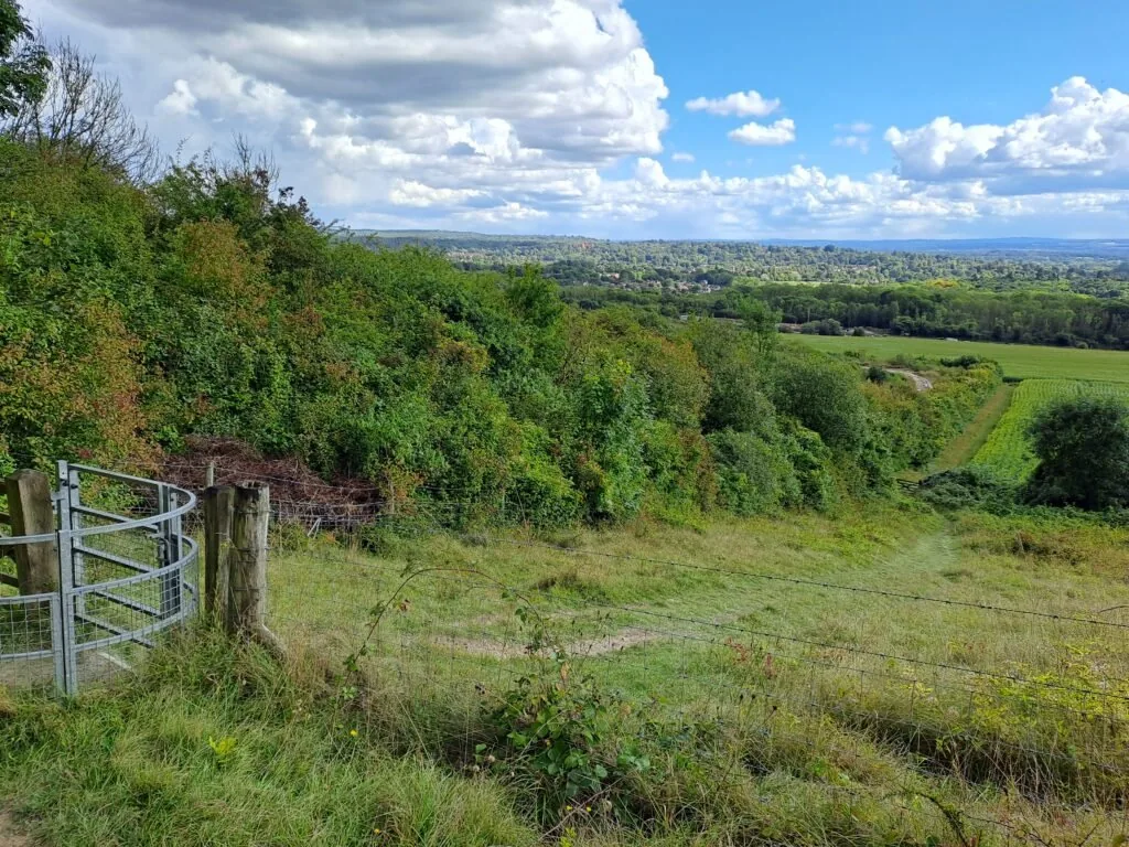
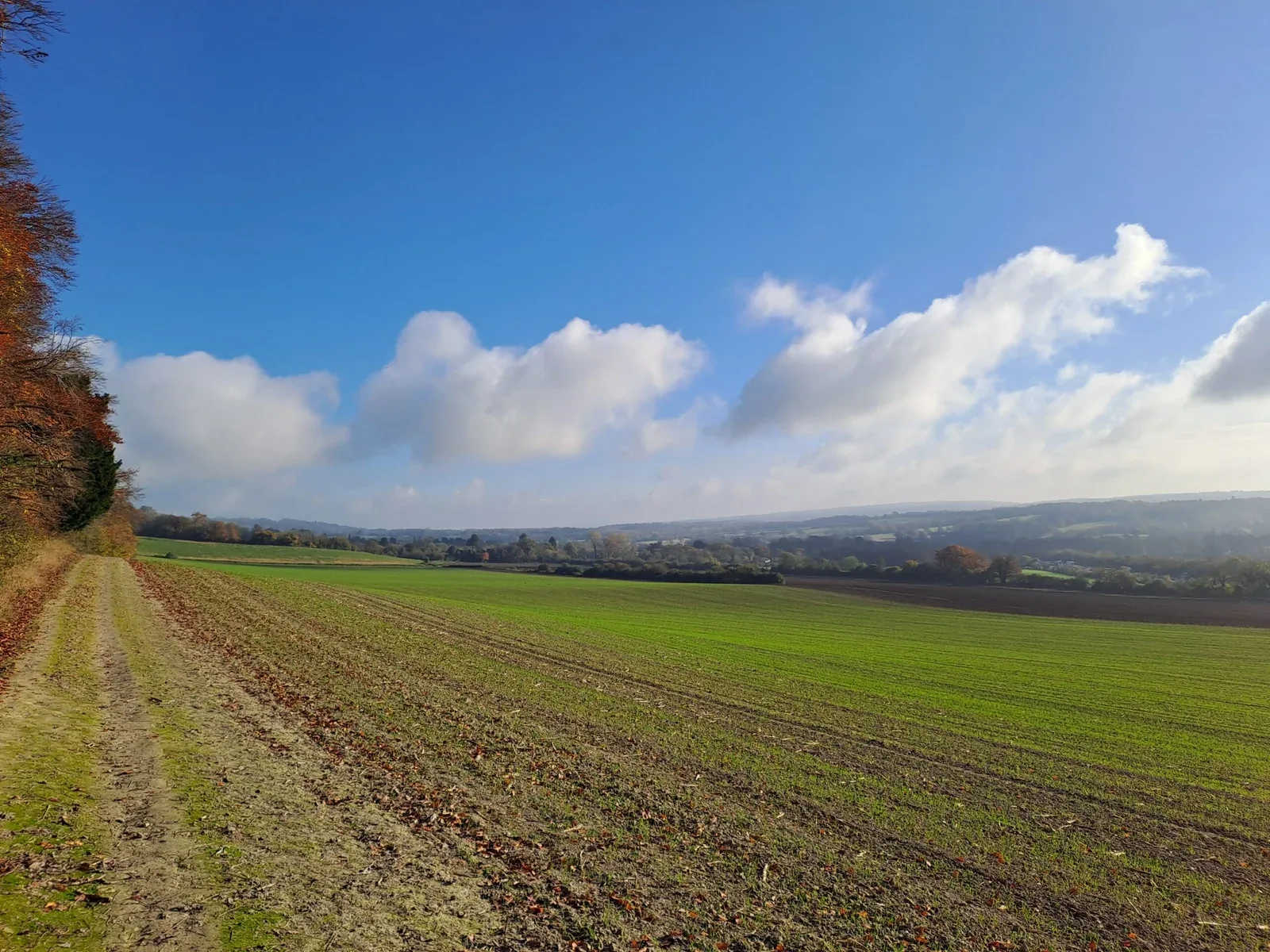
After emerging, you’ll enter a large open field, of which you’ll want to follow the path diagonally right. There’s a fairly tough incline here as you walk across the field and up onto the Downs, so be sure to take breaks when needed. Breaks here are well worth it, as you’ll see some lovely views if you turn back to the surrounding country. Once you reach the top of the field, turn right down a heavily wooded path before eventually merging onto Pilgrim’s Way. Expect to see both horse riders and dog walkers along this section as it’s a popular route through the woods. At the same time, be careful as some sections are prone to getting very muddy.
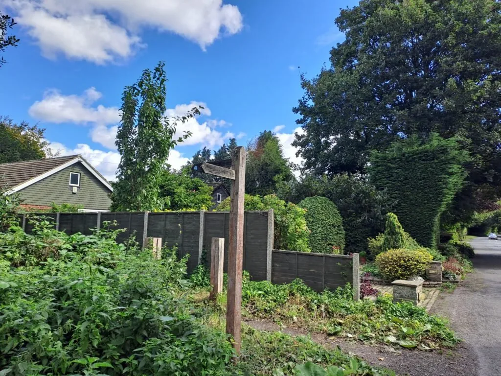
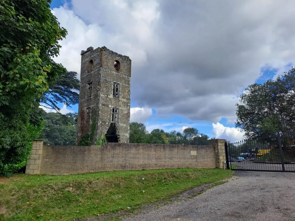
You’ll continue walking down Pilgrim’s Lane for quite some time before turning right at a sign for Chaldon. You’ll be heading in the general direction of Grubbs Wood. Fortunately, this section is all well marked with North Downs Way markers. The next landmark is visible when crossing a crossroads next to Tower Farm. You’ll be able to see a crumbling stone tower on your left-hand side. Following this tower, you’ll continue for quite some time along War Coppice Road. Unfortunately, this next portion contains a substantial amount of road walking, although these roads are fairly quiet (that being said, dogs are best kept on leads).
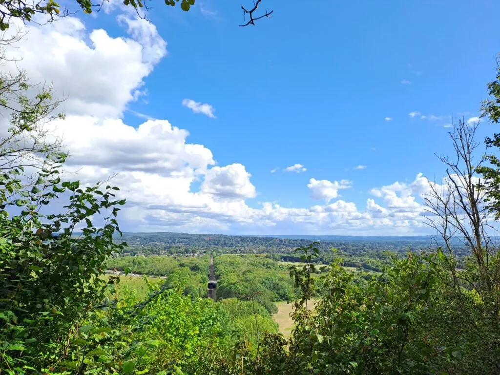
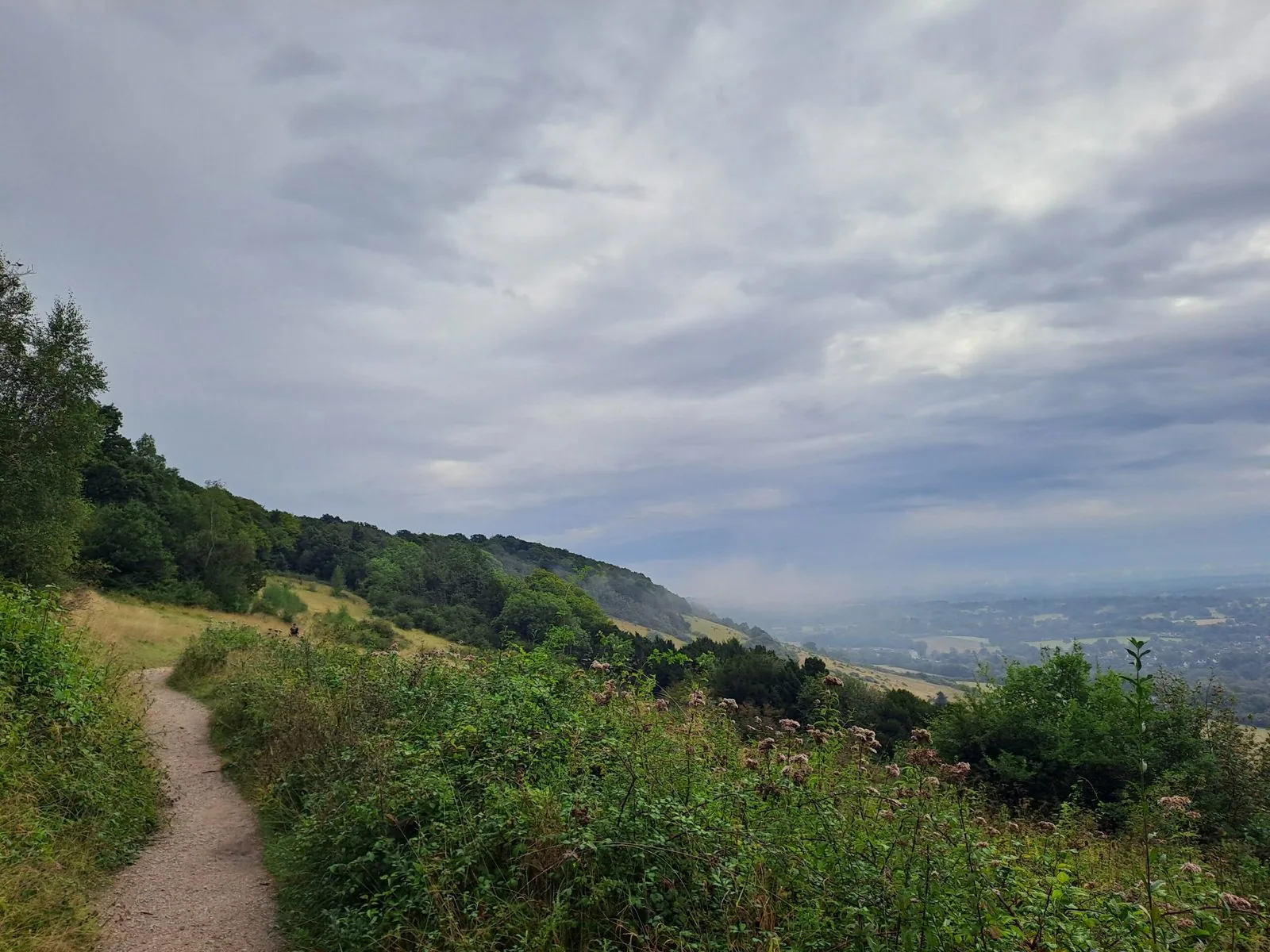
Eventually, you’ll take a right turn off the main road down a wooded path just by a sign for Hextalls Lane. You’ll be able to see a North Downs Way marker just past this road sign. Continue heading down this path for around 20 minutes in the direction of the Graverly Hill Common viewpoint. On the final approach to the viewpoint, there is a pink arrow on a wooden post indicating that you should go off the path to the right. For the quickest route to the viewpoint, follow this arrow as it stops you from having to walk on a main road. This viewpoint provides a great location for a break with a selection of benches to rest on. When you’re ready to head on, continue directly across the crescent and take a right into the woods.
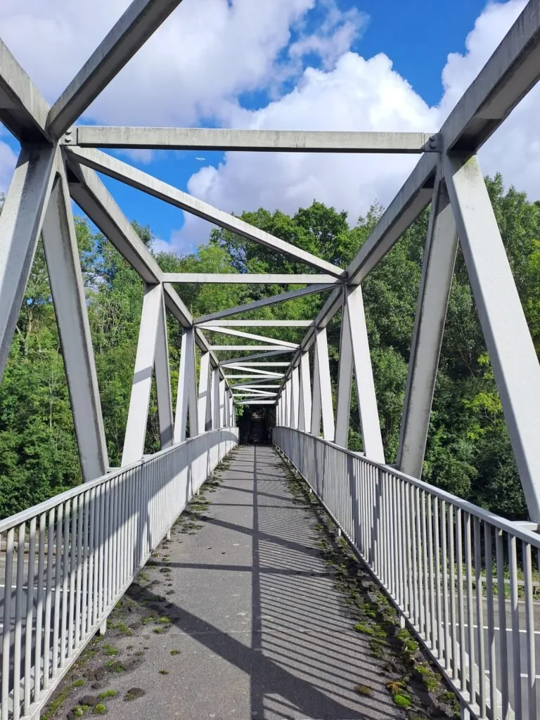
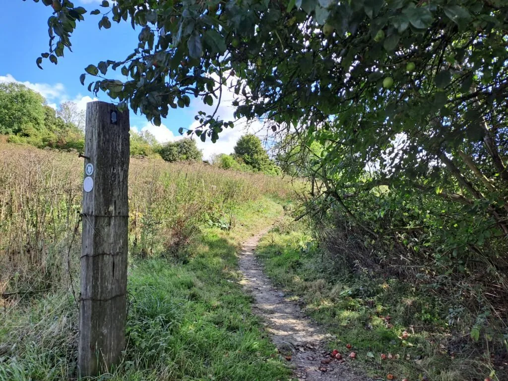
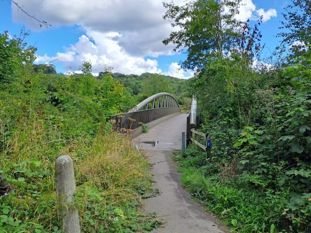
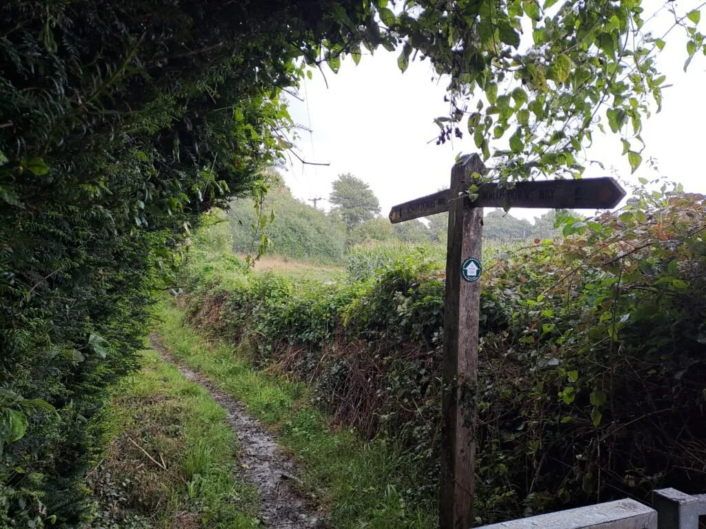
From this viewpoint, the route begins a gradual descent through the woods. There are frequent signs for the North Downs Way route along this section, which serve as a guide. At the same time, make sure you take the right when you reach the sign in the image below (I didn’t and as a result had a brief battle with some stingy nettles along a less trodden path). Sometimes those North Downs Way markers aren’t the most obvious. You’ll then descend some wooden stairs before the path bends round and reaches a metal bridge crossing the A22 motorway.
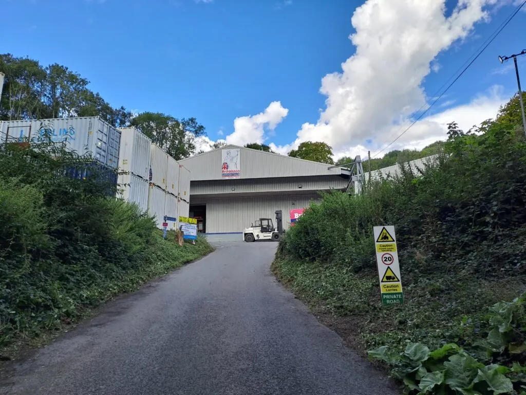
After the bridge, take a right at the edge of the field and continue down a wooded track. After passing some electrical equipment with warning labels, you’ll take a left turn off the main wooded path. Continue along this path before crossing Quarry Road with the Brittania Sandersteads warehouse on your left. Be careful here, as there are large lorries and forklifts that operate around here. The path curves around the warehouse before reconnecting with Quarry Road. You’ll then walk along Quarry Road with a view of Godstone Vineyards on the right.
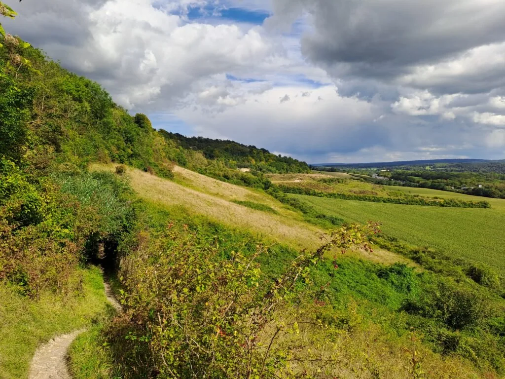
After a stretch of walking, you’ll emerge right next to the entrance to Woldingham Girl’s School on the left. Head past this entrance, taking the path into Marden Park. There’s then an immediate uphill walk towards a viewpoint overlooking the surrounding park. This viewpoint offers a great opportunity to take a break. At this point, you’re a bit over 2/3rds of the way along this section of the North Downs Way National Trail, although there’s one last uphill section coming up, you should make sure you’re ready for.
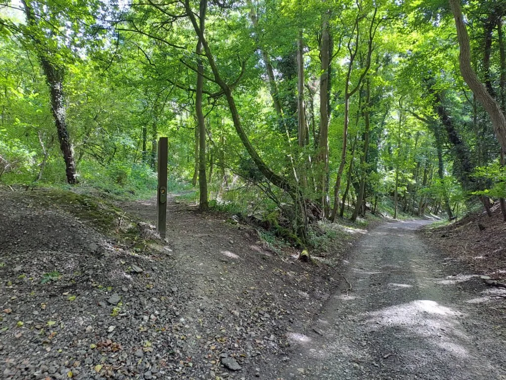
When you’re ready to get moving, keep heading uphill and deeper into Marden Park. This section is fairly straightforward, with one main path through the park with North Downs Way markers littered throughout. The path then exits Marden Park and onto Gangers Hill Road. Unfortunately, the next North Downs Way marker has been knocked over here, making which way to go slightly confusing. To stay on the right track, you’ll cross straight over Gangers Hill road before heading down another wooded track on a slight downward incline. The path then curves around to the left before running directly parallel to Tandridge Hill Lane. Fortunately, there is a path that allows you to not walk along this road and continue uphill just to the left of it.
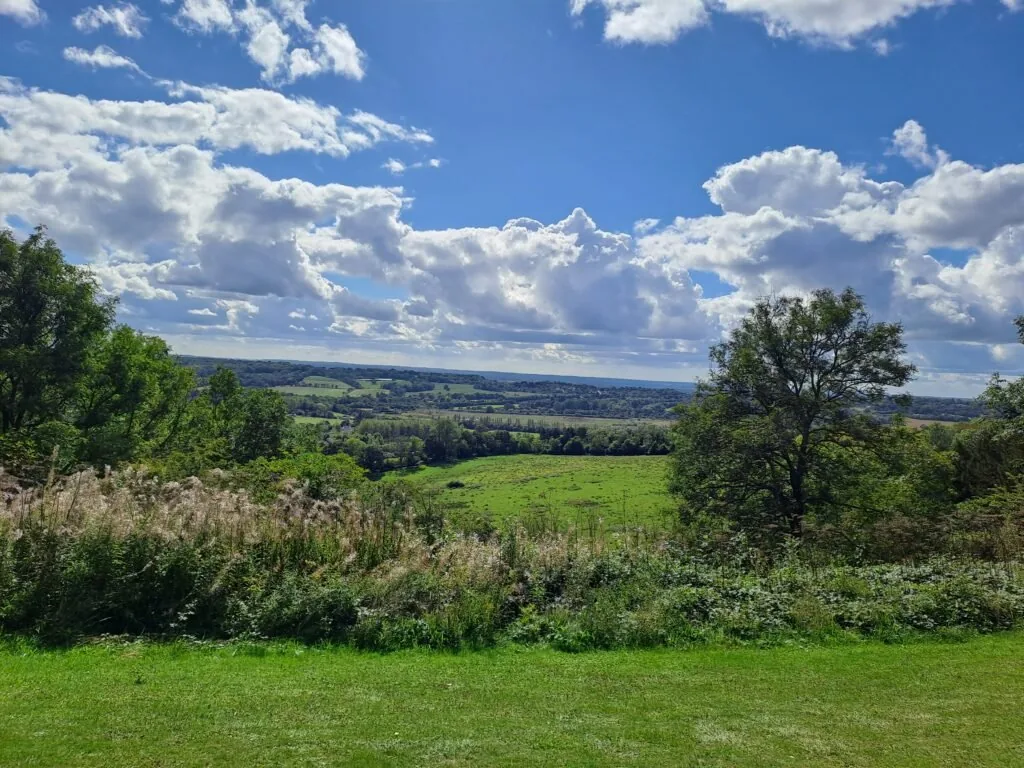
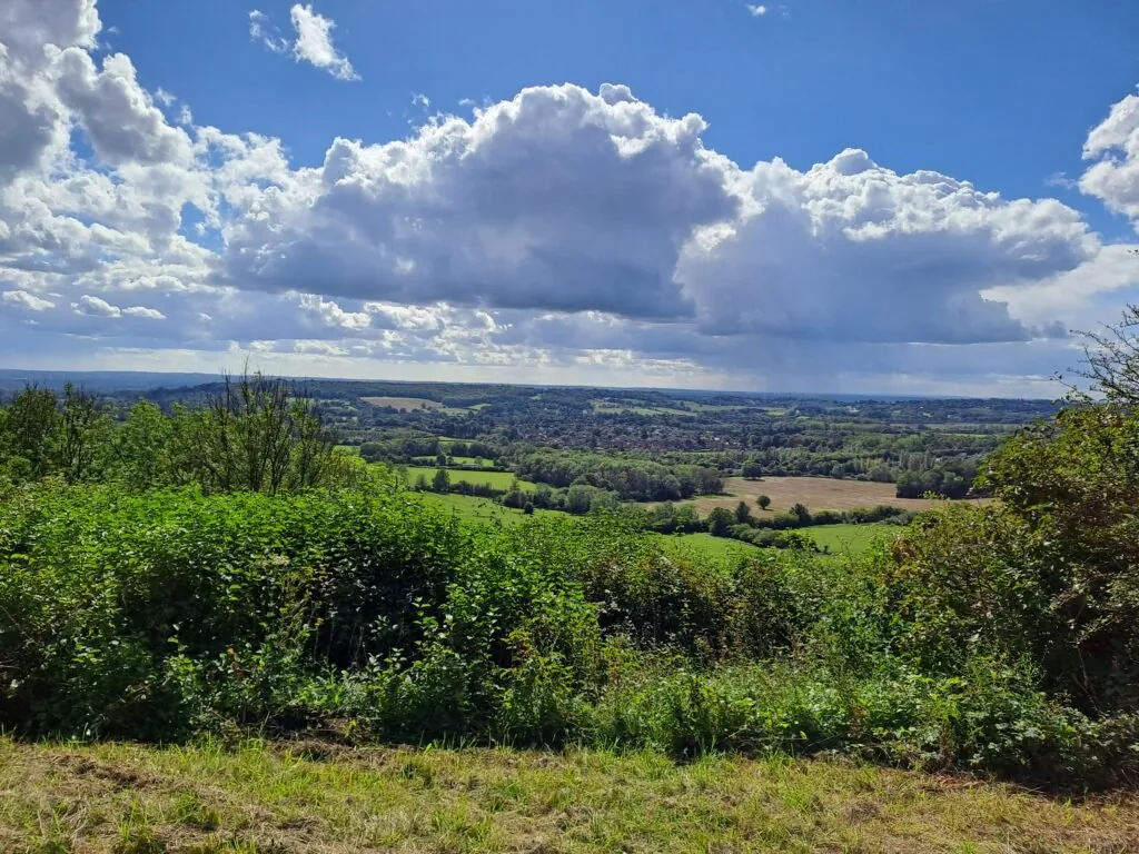
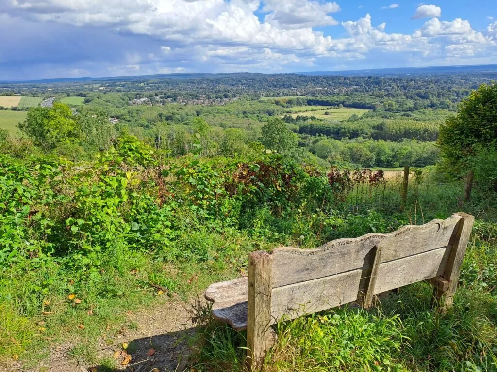
When you reach the top of the road, you take a right to briefly walk along Gangers Hill road. After around five minutes you’ll see a path emerge on the right that takes you off this road along the wooded North Downs Way path. Before long, you’ll reach a viewpoint overlooking the Surrey Hills with a bench. What follows is one of the most satisfying views along the entire trail. After continuing along the ridge for a short period, you’ll turn right to see a very long set of stairs heading down. Make sure you’re being extra careful here, as the stairs can get quite slippery, so hold onto the handrail when you can. The great part of this section comes from looking up from the stairs at the view midway down. You’ll be able to see the railway tracks splitting the horizon in half, and if you’re lucky, a train running down the middle. If you’re walking the route the other way round, then I pity you having to walk up all those stairs. Fortunately, there is a bench at the halfway point if you want to catch your breath.
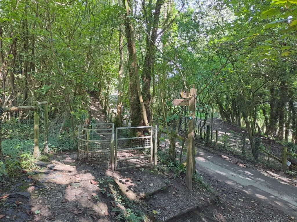
At the bottom of the stairs, take a left turn and continue walking along a ridge overlooking the fields on your right. After a while you’ll take a right turn down the side of one of these fields and through a wooden gate. Continue following the North Downs Way markers as you make your way along the edge of these fields. You’ll then take a left turn onto a path away from the fields before emerging onto Chalkpit Lane. You’ll want to immediately cross this road and continue through the opening just to your right. The path then bends upwards through a metal kissing gate and onto the Oxted Downs.
After walking the dirt path you’ll reach a long hedge serving as a boundary between two fields. Just past here on your left you’ll see a metal North Downs Way sign marking the end of this section.
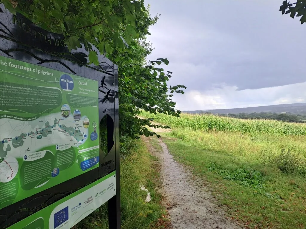
Well done! You’ve just completed yet another section of the North Downs Way National Trail. On a post next to the sign, you should see a map indicating the easiest route to Oxted train station. It’s about 20 minutes to the station from the route’s finish, where you’ll head to the bottom of the field by one of two tracks before crossing over the M25 and continuing past Limpsfield Grange School. If you want to continue your adventure across the North Downs, check out our guide for the next section, walking from Oxted to Otford. If you’re considering staying overnight in Oxted, see below our dedicated section for accommodation near the end of this section of the North Downs Way.
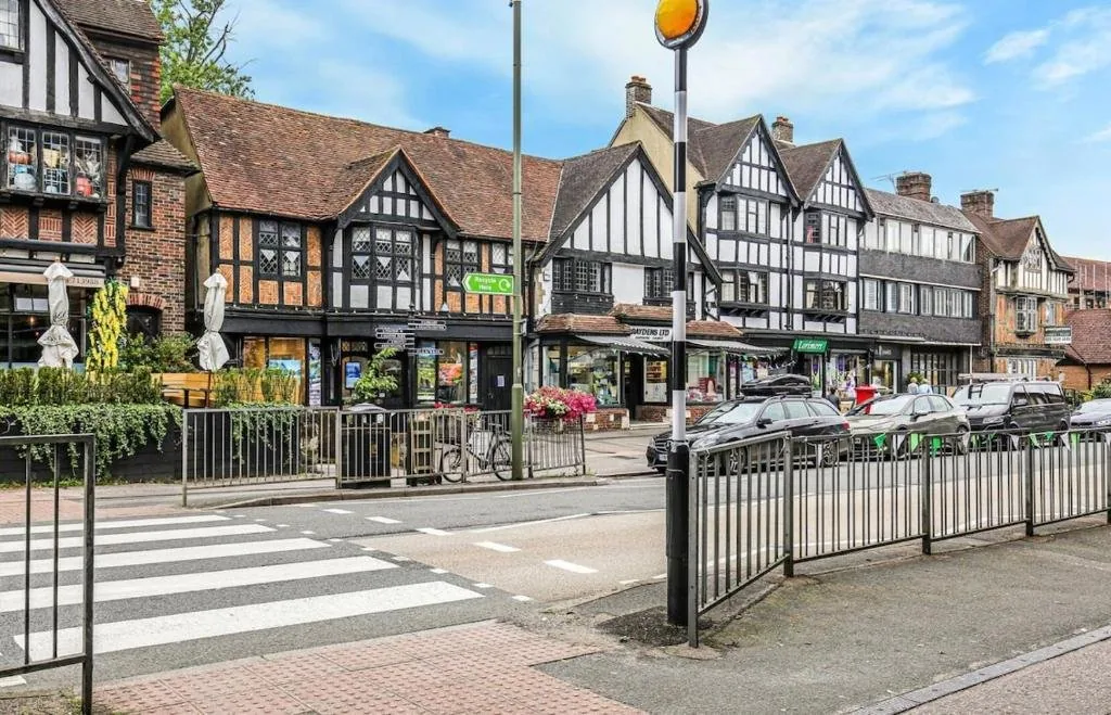
Accommodation in Oxted
Oxted and the surrounding villages make a convenient overnight stop before continuing on towards Otford. We’ve picked out the best-placed options below to make your planning easier – booking through any of our links below helps support our site at no extra cost to you.
Next Section
Oxted to Otford (11.8 miles)
The next section of the North Downs Way begins just outside of Oxted and finishes right next to Otford train station. The official start point is designated by a metal sign in the top left of a field just across from the M25 and to the right of Limpsfield Lodge Farm. From the start point the route briefly follows alongside the Vanguard Way as you walk along the top of this field, keeping the forest to your left-hand side. At the midpoint of the field, you’ll notice a plaque marking where both routes cross the Greenwich Meridian Line.
Previous Section
Dorking to Merstham (10 miles)
The fourth section of the North Downs Way, walking from Dorking to Merstham, is a particularly challenging section of the route. Spanning 10 miles across Box Hill and Reigate Hill, this is the perfect section for fans of steep inclines and frequently feeling out of breath. That being said, the views from this section are some of the most rewarding across the entire trail.