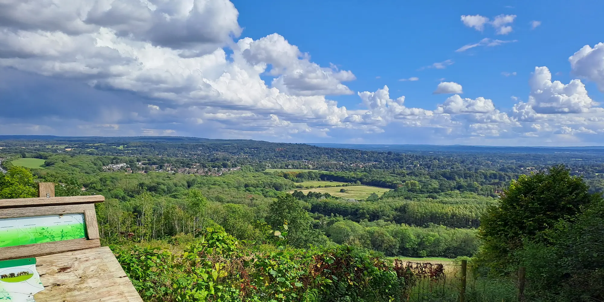
Key Information
- Distance11 miles (17.7 km)
- Elevation Gain110m
- StartLenham
- EndWye
- Time4–5 hours
- DifficultyEasy
Weather Forecast for this Section
Route Directions
The Lenham to Wye stretch of the North Downs Way is one of the flattest, most straightforward sections of this National Trail. The distance comes in somewhere between 11 and 12 miles, although due to the lack of elevation gain, you’ll likely complete it much quicker than previous, more hilly sections like Detling to Lenham. You should also factor in that it’s about a mile walk from Lenham train station to this section’s trailhead just off Faversham Road.
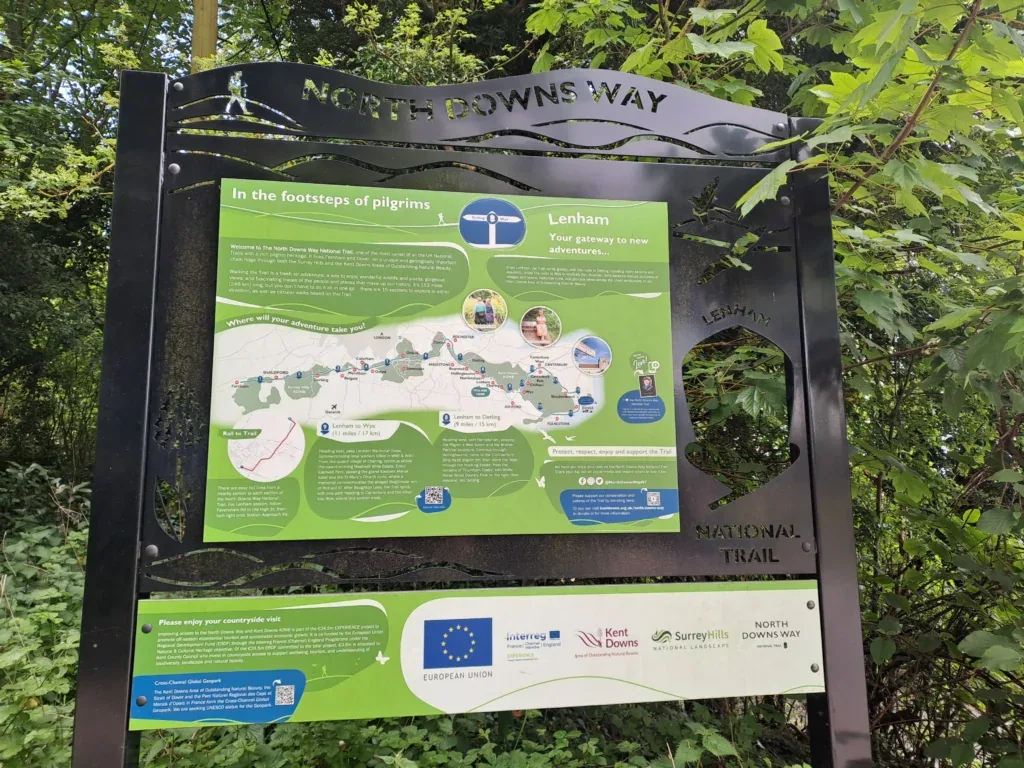
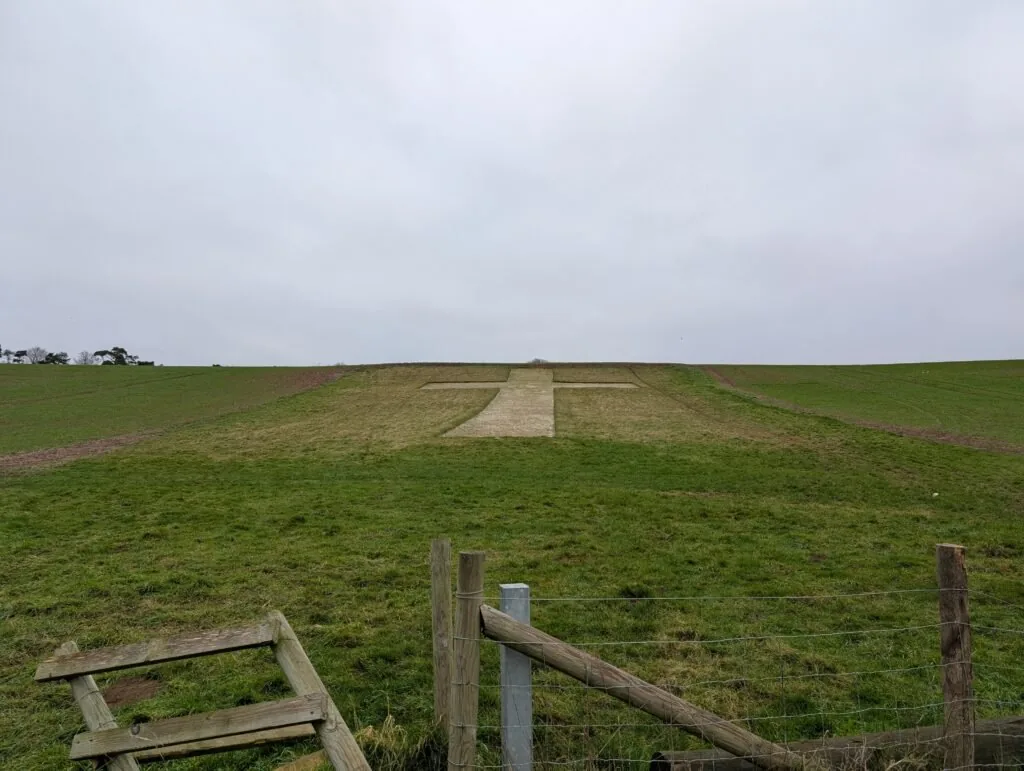
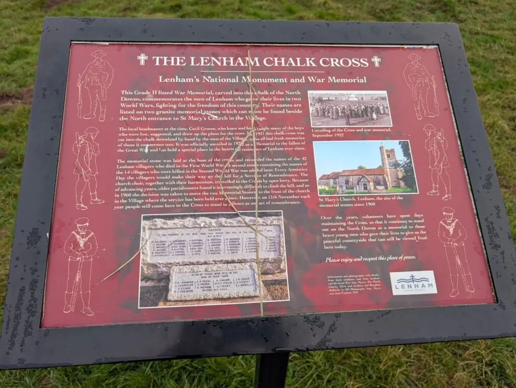
From the metal North Downs Way sign off Faversham Road, you’ll want to head straight past it, away from the main road and back onto Pilgrim’s Way. You’ll continue straight along this track for some time. Keep an eye out for the Lenham Cross, which you’ll see carved into the chalk on the left-hand side. There’s a very interesting plaque next to this memorial alongside pleasant views across to Lenham in the distance. Just past this landmark on the left is another North Downs Way stone marker showing the distance to Canterbury and Dover.
Once you pass by the chalk cross, continue straight along the path until it briefly connects with Hubbards Hill Road. As Hubbards Hill Road begins to bend to the left, you’ll take a right turn back onto Pilgrim’s Way. You’ll then continue along for a short while until the trail crosses Rayners Hill Road.
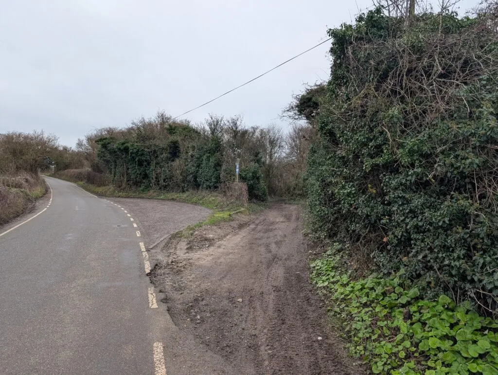
Right Turn off Hubbards Hill Road
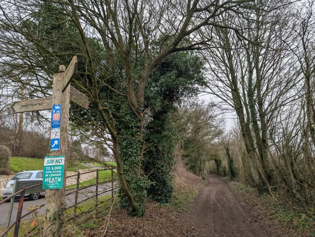
Straight Across Rayners Hill Road
From here, the North Downs Way continues in more or less a straight line for some miles. Eventually, the path connects with Hart Hill Road, where you’ll take a right turn before quickly turning left and back onto Pilgrim’s Way. Be especially careful for the brief section along Hart Hill Road, as it’s a bit of a blind bend and cars can come round very quickly.
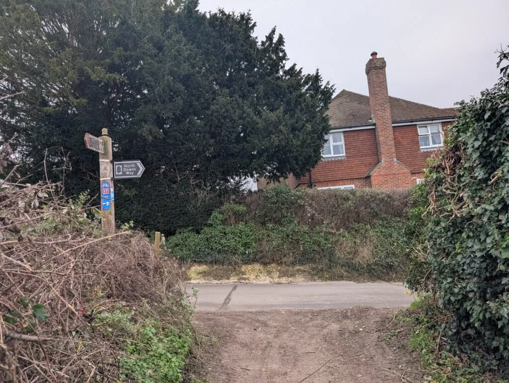
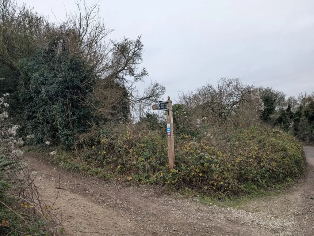
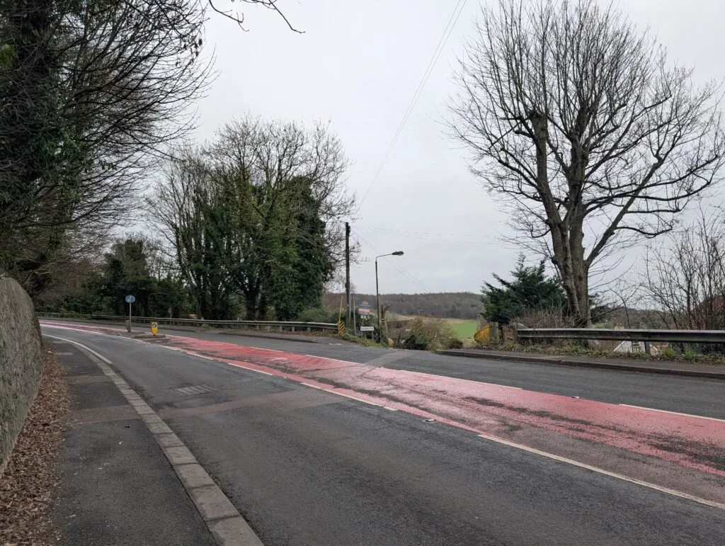
Continue straight along for another mile or so until the path connects with the busy A252 bypass. Dogs should definitely be kept on leads here, as traffic is very fast and you’ll need to cross this road. There’s also a bit of a blind bend on the left, so be extra careful. You’ll see a road sign for Pilgrim’s Way directly across the road and on the left.
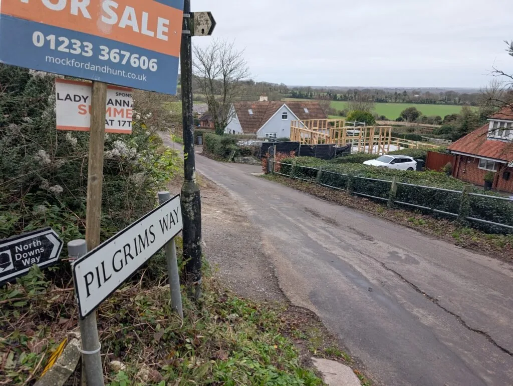
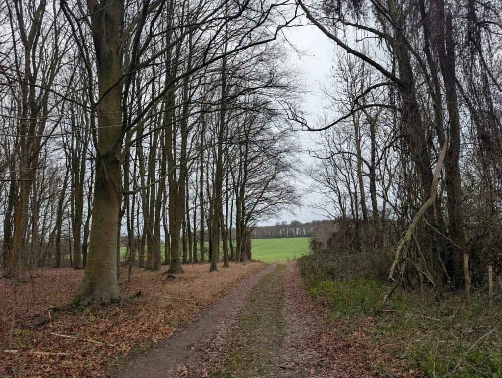
Just along this road is a lovely memorial bench on the right-hand side, which marks a good halfway point for this stretch of the trail if you want to take a quick break for lunch. Past this bench, keep heading straight along Pilgrims Way. After several miles the path comes to a kind of T-junction. At the time, the sign was blown down, so it wasn’t the most clear where to go. Once again, you’ll want to just keep heading straight on, this time coming out onto a large open field.
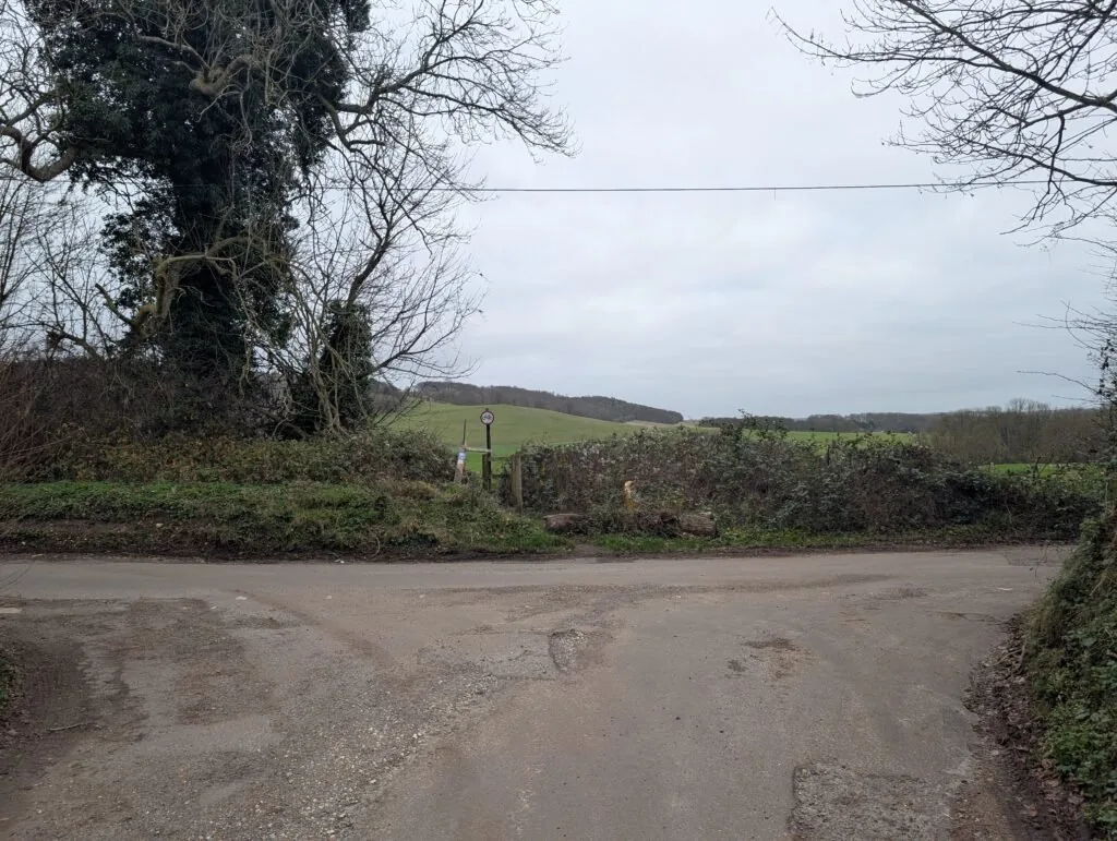
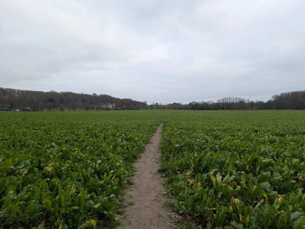
Once on the field, the path bends immediately left and then right, taking you directly across the field. You’ll be walking across fields for quite some time until the path takes a right turn, crossing a small wooded section before coming out into another field, where you’ll take a left turn. From here, continue straight on until the path exits the field and joins a small road.
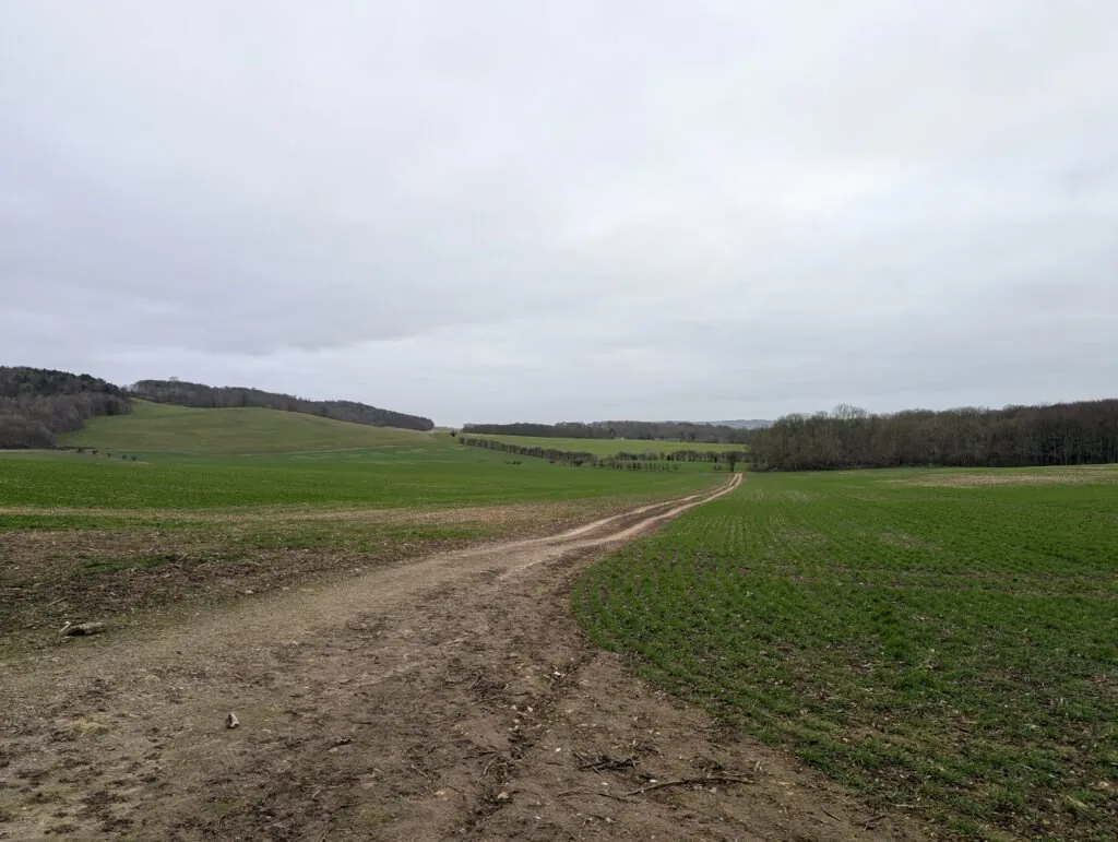
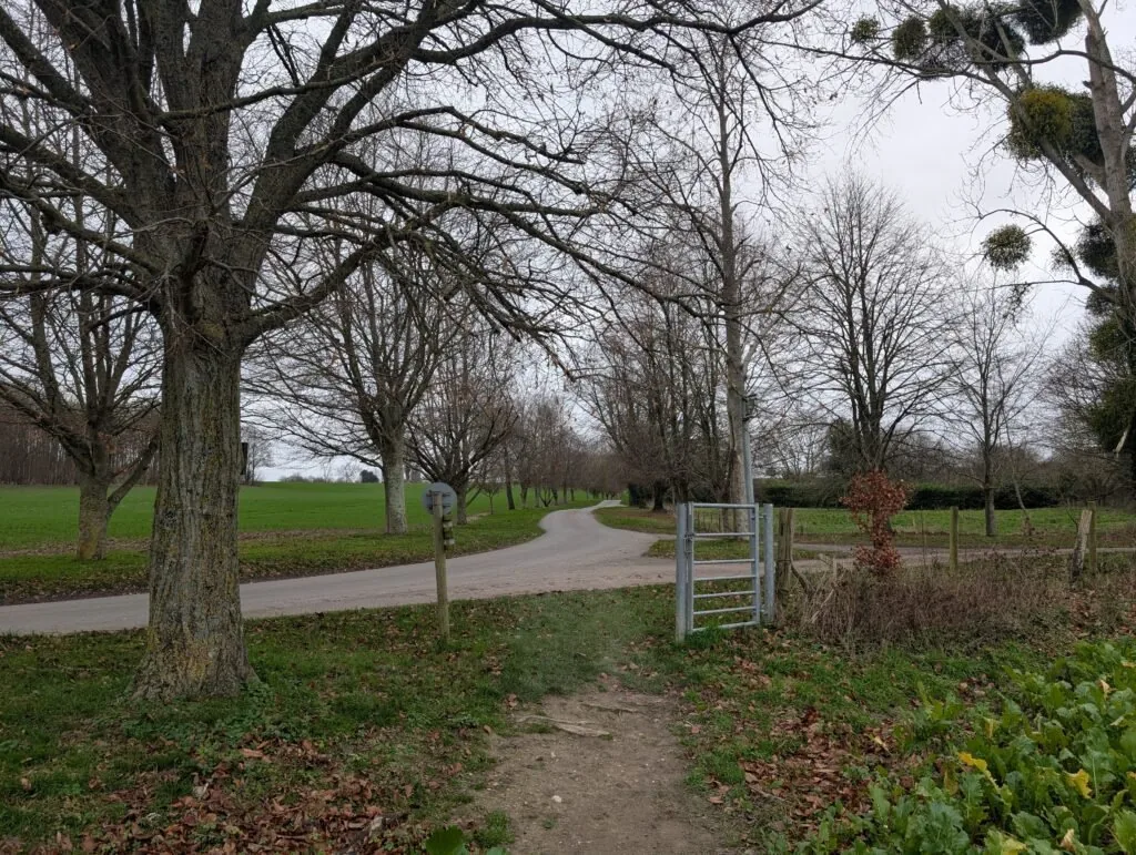
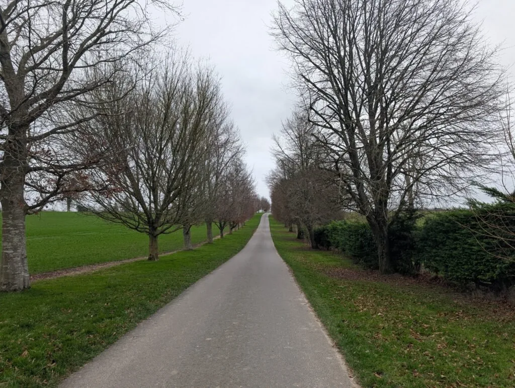
Once you reach the road, keep heading straight ahead to stay on the North Downs Way. You’ll also pass by St Mary’s Church, which is on the right-hand side immediately after leaving the fields. You’ll keep heading straight ahead with some lovely views of Eastwell Lake on the right until you reach a T-Junction next to a small water tower. From here, keep going straight on.
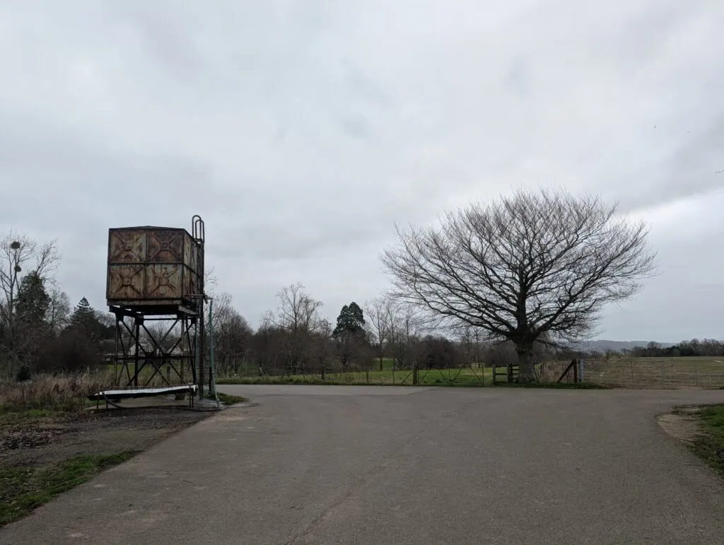
Go Straight on Through a Small Gate
Past the T-Junction, you’ll walk briefly along a small ridge before taking a slight left, moving down the ridge and crossing the road that leads to the Eastwell Spa & Hotel. The path then takes you through a small opening in a hedge before connecting with the A251. Here you take an immediate left, passing by St Christopher’s Church on your left.
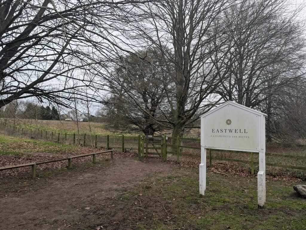
Sign for Eastwell Spa & Hotel

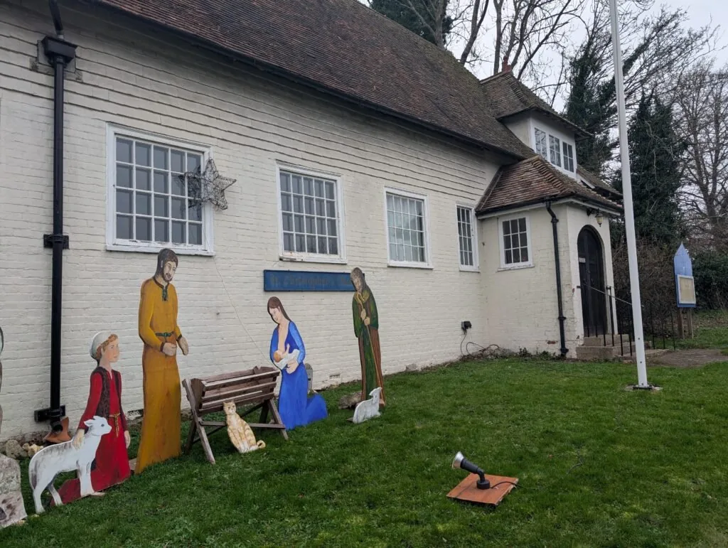
St Christopher’s Church
From here, you’ll want to carefully cross the A251 and walk down the right side of the Boughton Lees green. On the far side of the green, you’ll cross Wye Road before heading back onto Pilgrims Way. This crossing is a bit perilous for pedestrians as there isn’t great visibility on this bend. You’ll continue for a short while along Pilgrims Way before reaching the next metal North Downs Way marker signalling the end of this section.
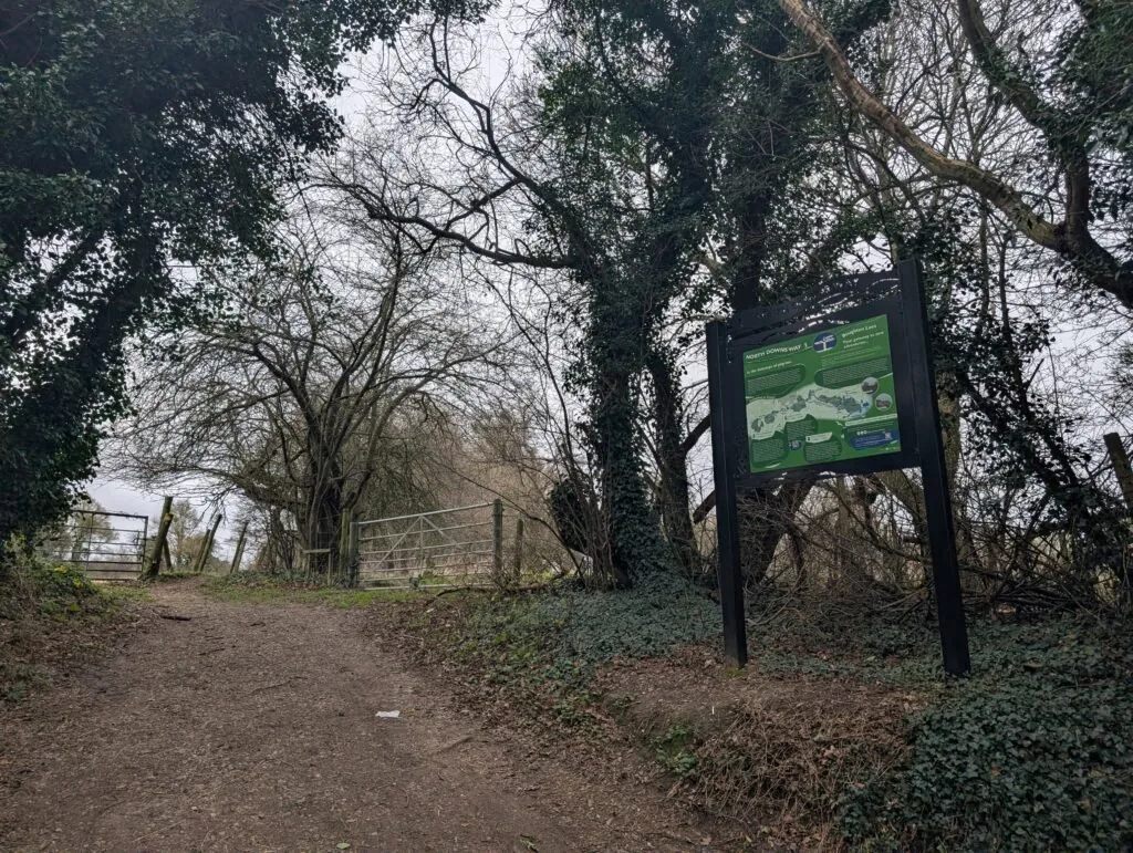
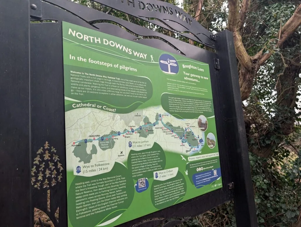
This marks quite a significant point in the North Downs Way as it’s here where the trail splits in two. You can either follow the mainline route towards Folkestone (which is quicker) or deviate along the Pilgrim’s Way, which curves round towards Canterbury before then heading onwards into Dover. Both routes end in the same place, although the route through Canterbury is a bit longer. The nearest station to finish this section is Wye train station, which is a short walk from the section end point. If you’re considering staying overnight in Wye, see below our dedicated section for accommodation near the end of this section of the North Downs Way.
Accommodation in Wye
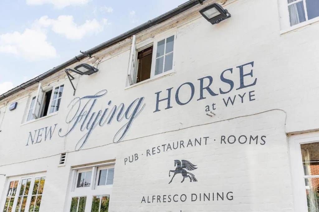
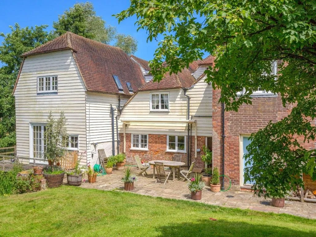
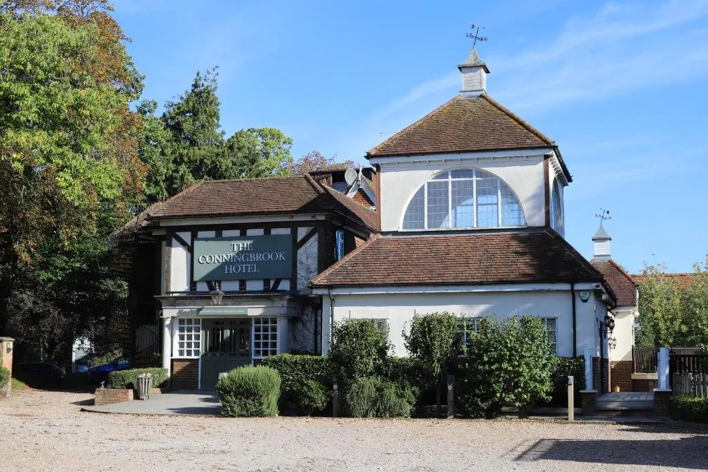
Wye and nearby Ashford make a great base before tackling the final stretch towards Dover. We’ve picked out the best-placed options below to make your planning easier – booking through any of our links below helps support our site at no extra cost to you.
Next Section(s)
Here the North Downs Way divides. Choose your route to Dover:
Mainline Route
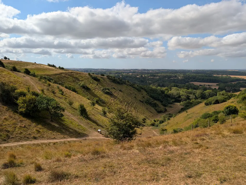
Wye to Folkestone (15.2 miles)
The faster direct route south through the Kent Downs to the Channel coast. It’s the longest and one of the toughest sections of the trail, climbing to the Wye Crown and the Devil’s Kneeding Trough viewpoint before finishing with sweeping views over Folkestone.
Canterbury Loop
Wye to Chilham (7 miles)
The historic Pilgrim’s Way route via Canterbury Cathedral, then continuing to Dover. This page is currently under construction.
Previous Section
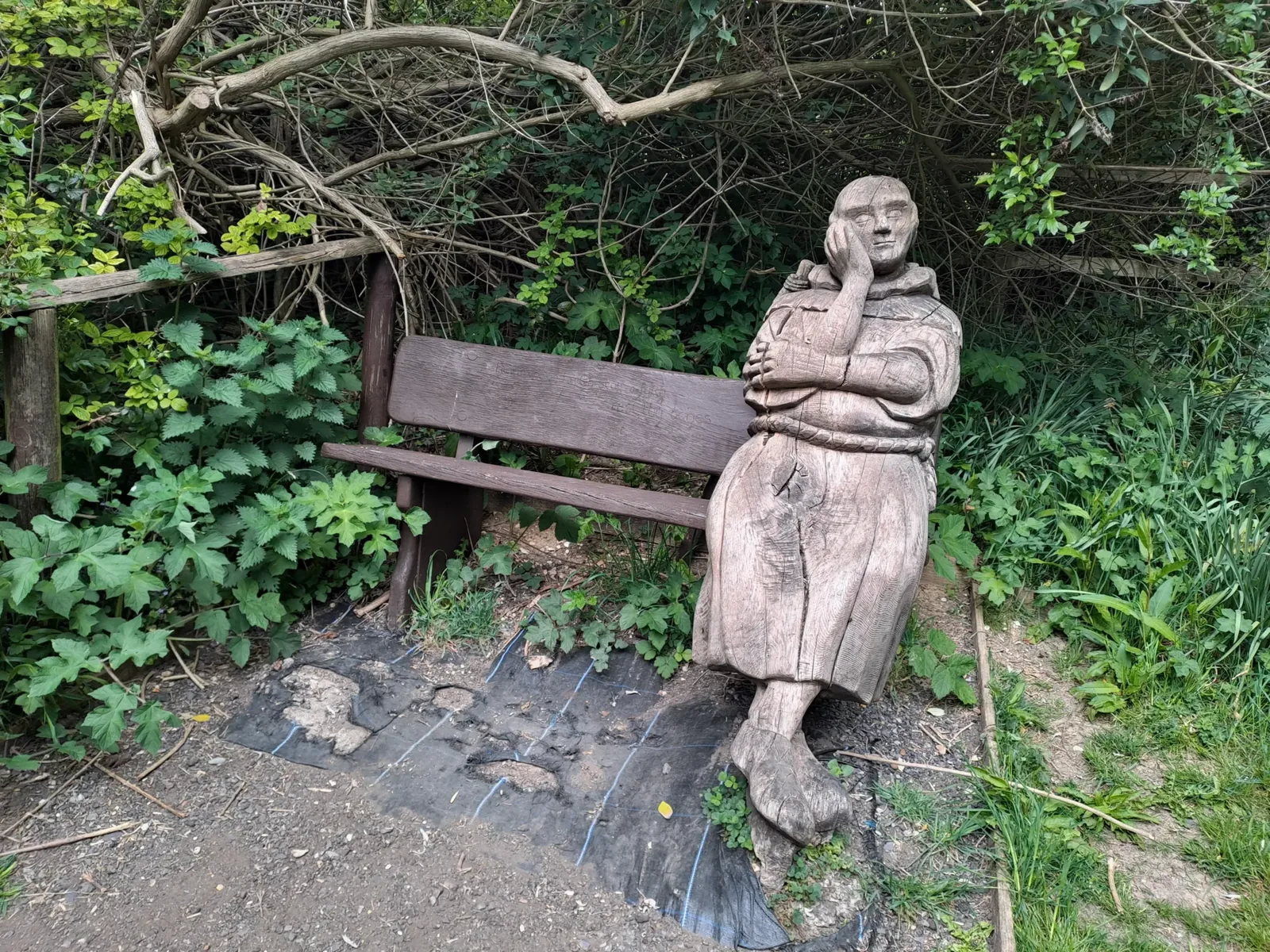
Detling to Lenham (9.3 miles)
The Detling to Lenham section of the North Downs Way is 9.3 miles long. However, the first half of this has quite considerable elevation gain, with many up-and-down sections that can make it fairly challenging. You’ll begin where the previous section ends beside the A249 motorway. The nearest train station is Bearsted, which is a 2.2-mile walk from the start.