Walking Wye to Folkestone
Map will appear here
Weather Forecast for this Section
Route Directions
Make sure you stretch those legs because you’re about to embark on the longest stretch of the North Downs Way National Trail. You might be hoping that such a long stretch would be on the relatively flatter side, although that really isn’t the case here, with some significant elevation gain on the lead-up to a selection of idyllic viewpoints. The views are well worth the trouble, but make sure you’re adequately prepared for this section as it’s not one for beginners.
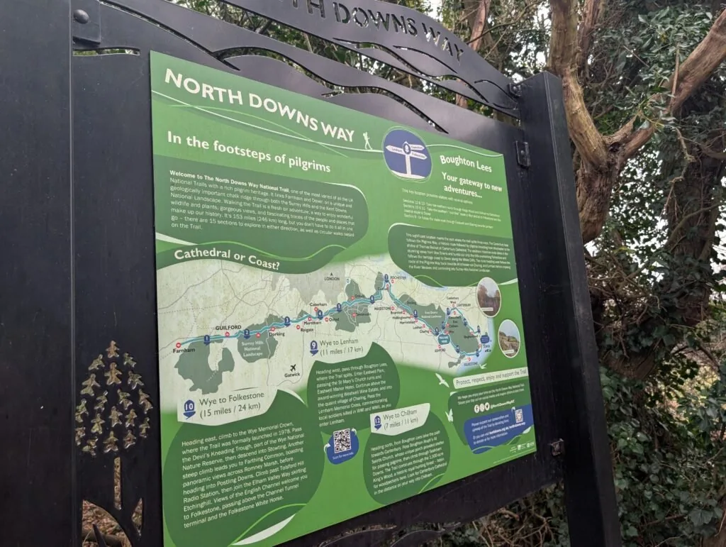
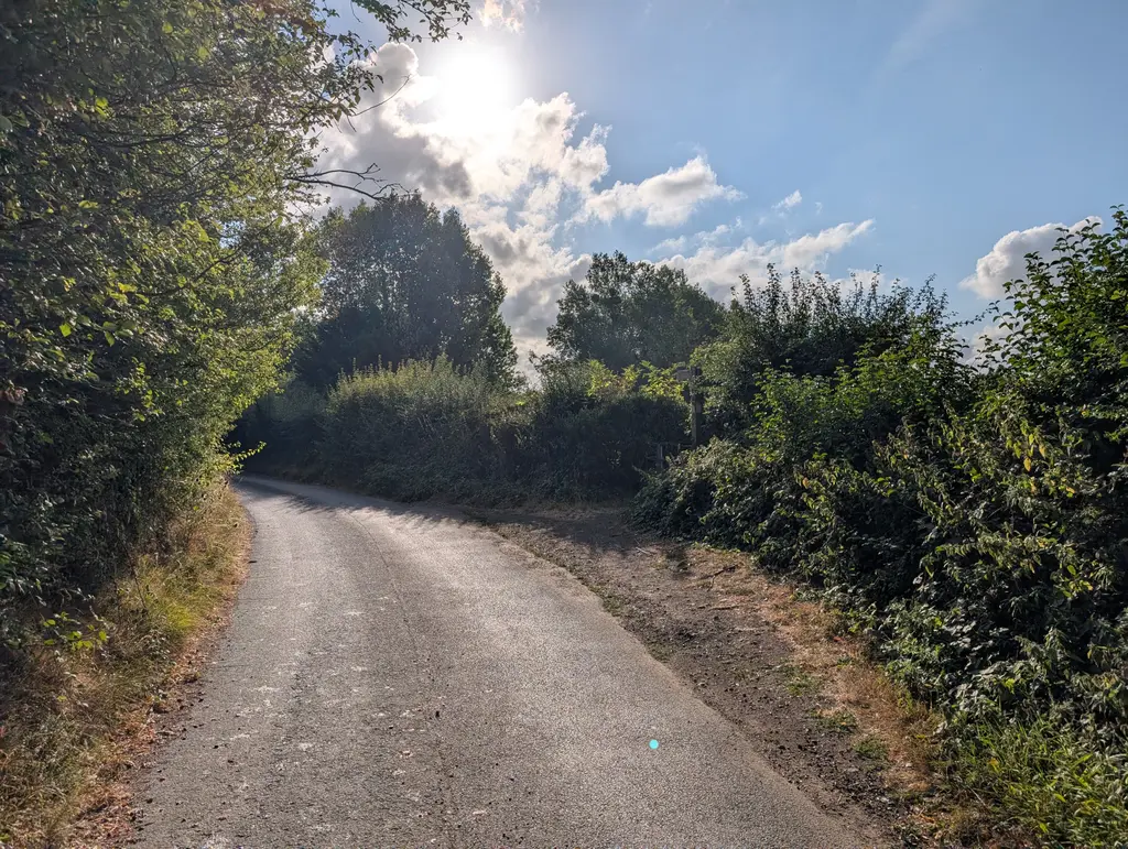
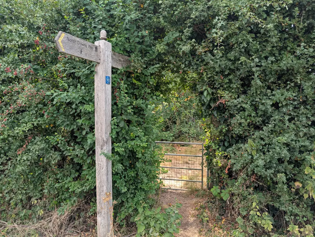
This part picks up where the Lenham to Wye section left off, just outside the small town of Boughton Lees. As you’ll know from the metal North Downs Way marker, this is a point where the trail splits into two distinct paths. One goes up through Canterbury while the other takes a more mainline route through Folkestone and on to Dover. For the Wye to Folkestone stretch, you’ll want to continue to the right of the North Downs Way sign and along the Pilgrims Way road.
You’ll then see a right turn which takes you off the Pilgrims Way road and into a large field. Follow the field as it bends around to the left, hugging the left side of the field.
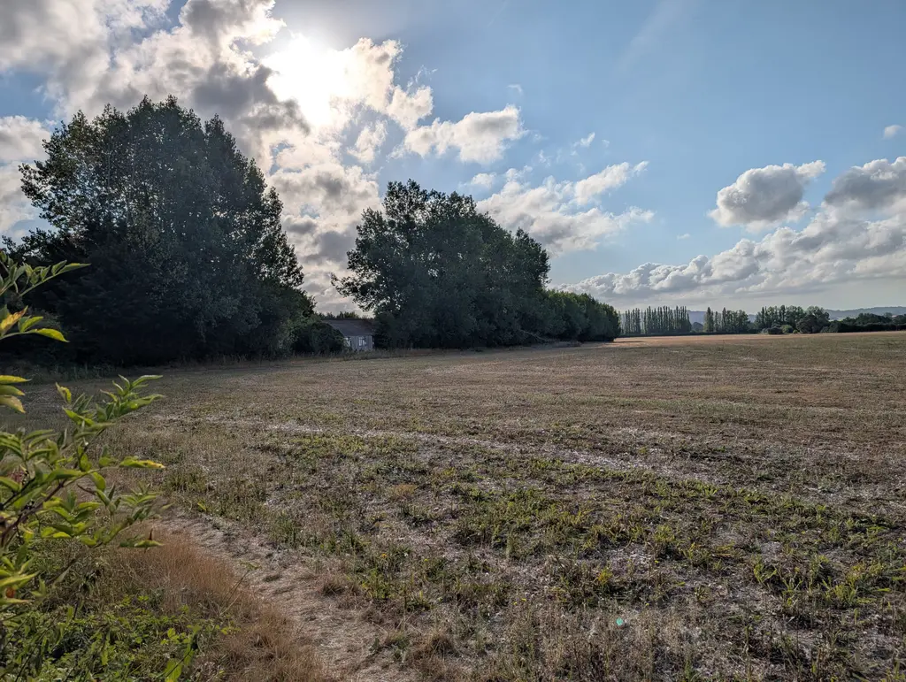
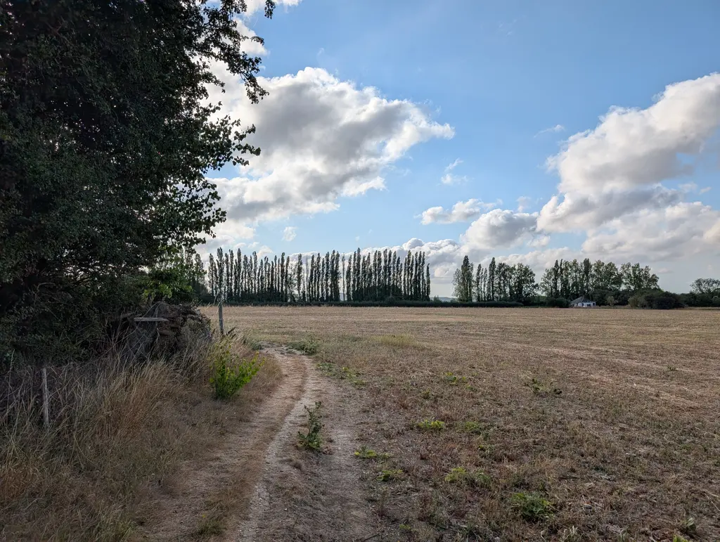
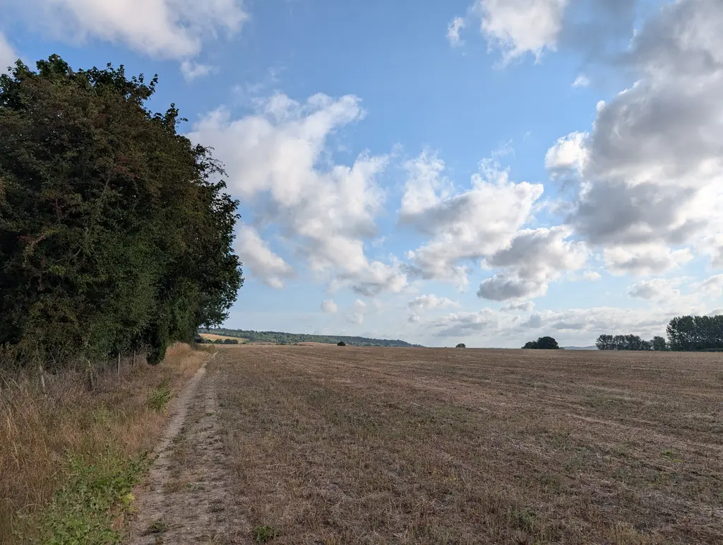
After a bit of walking in this field, a North Downs Way marker instructs you to take a hard right turn and cut across the field. Continue walking along the right side of the field until a gap opens up in the hedges. You’ll walk through this gap and cross Canterbury Road.
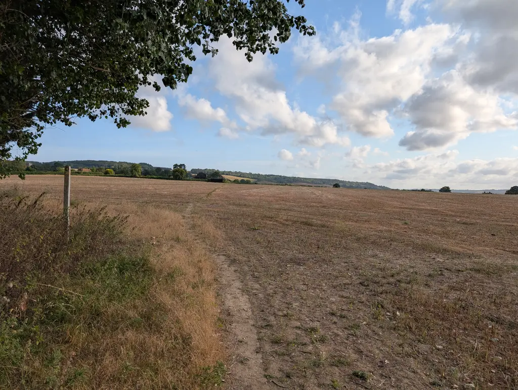
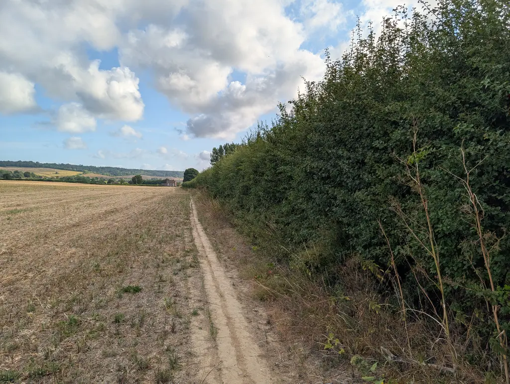
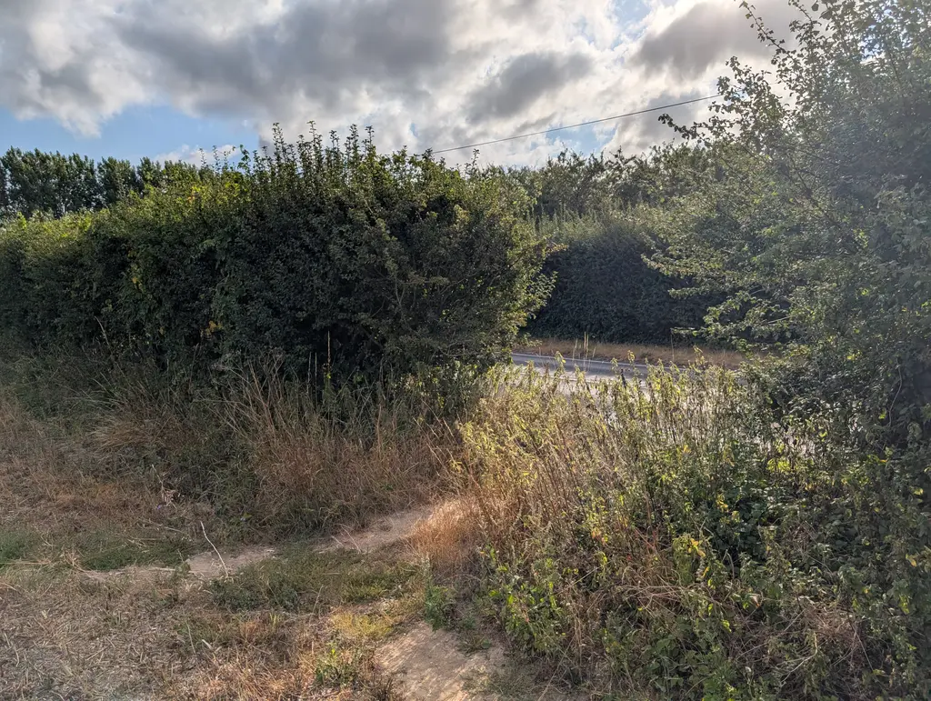
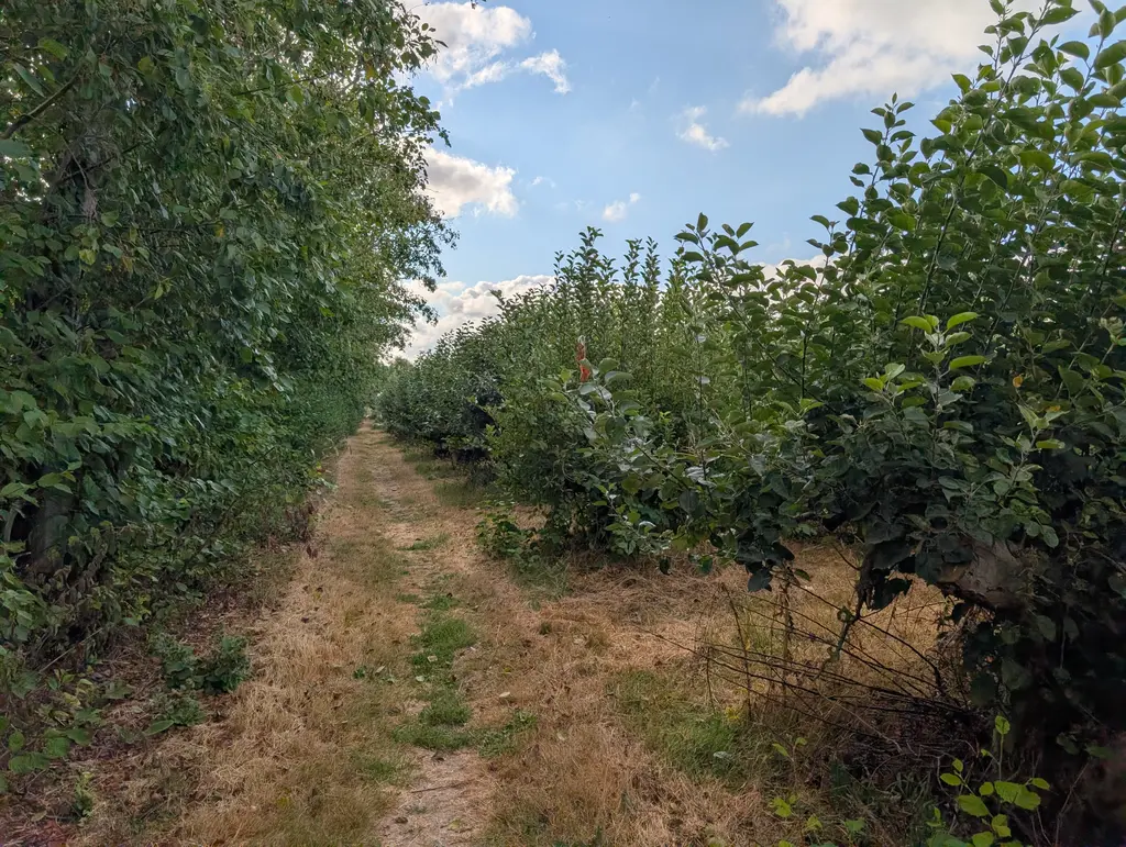
On the other side of the road is another gap which takes you into an orchard on the outskirts of Perry Court Farm. This section smelt wonderful at my time of walking.
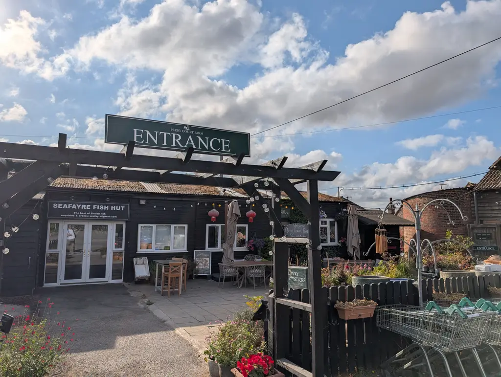
If you have time, I’d highly recommend stopping by the Perry Court Farm shop for some provisions or a coffee. You can get there by taking a right turn from the car park.
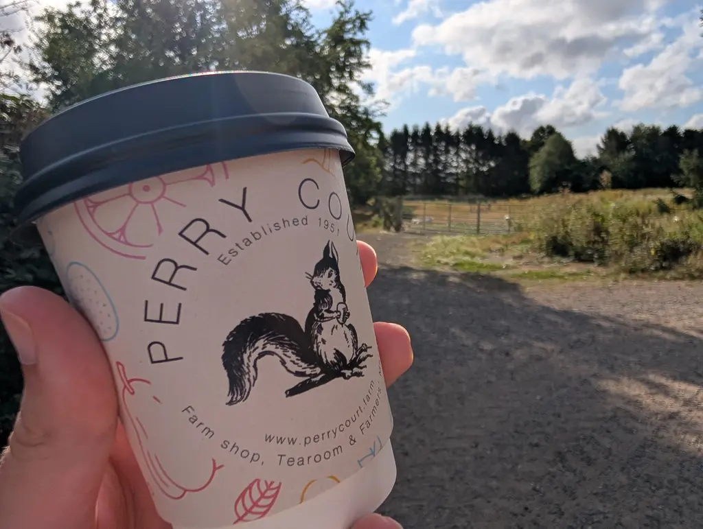
When you’re ready to press on, continue straight past the car park and onto a path with a field on your left-hand side.
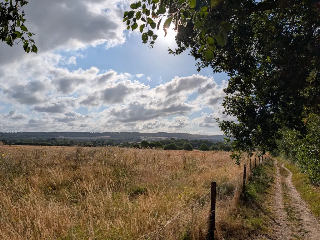
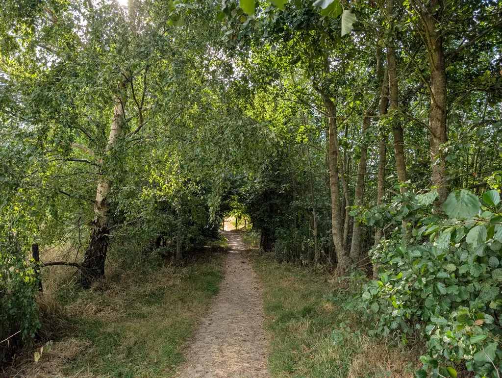
The path continues in a straight line for a little while, passing an arch of trees and emerging into a large field.
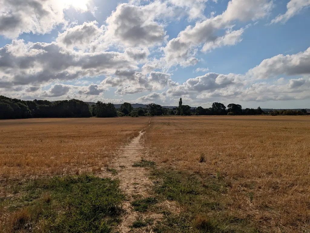
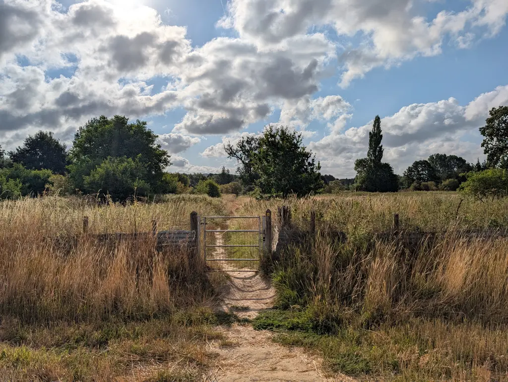
The North Downs Way then connects with Harville Road where you’ll take a left turn. Continue along this road briefly before taking a right onto Bridge Street (over the level crossing).
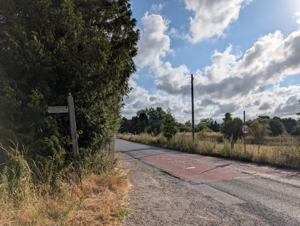
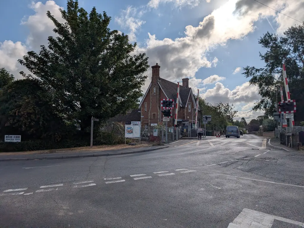
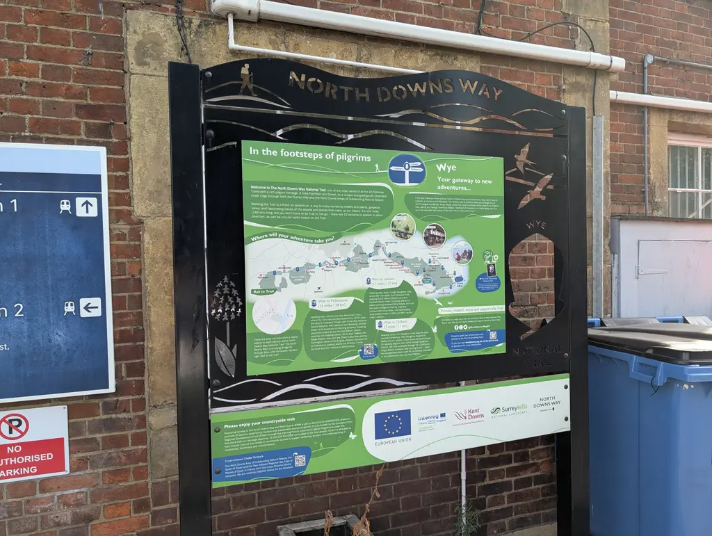
Interestingly enough, there’s another North Downs Way marker right next to Wye station. I imagine this was placed here for anyone wanting to start directly from Wye, given that it’s a bit more accessible than Boughton Lees (especially by train).
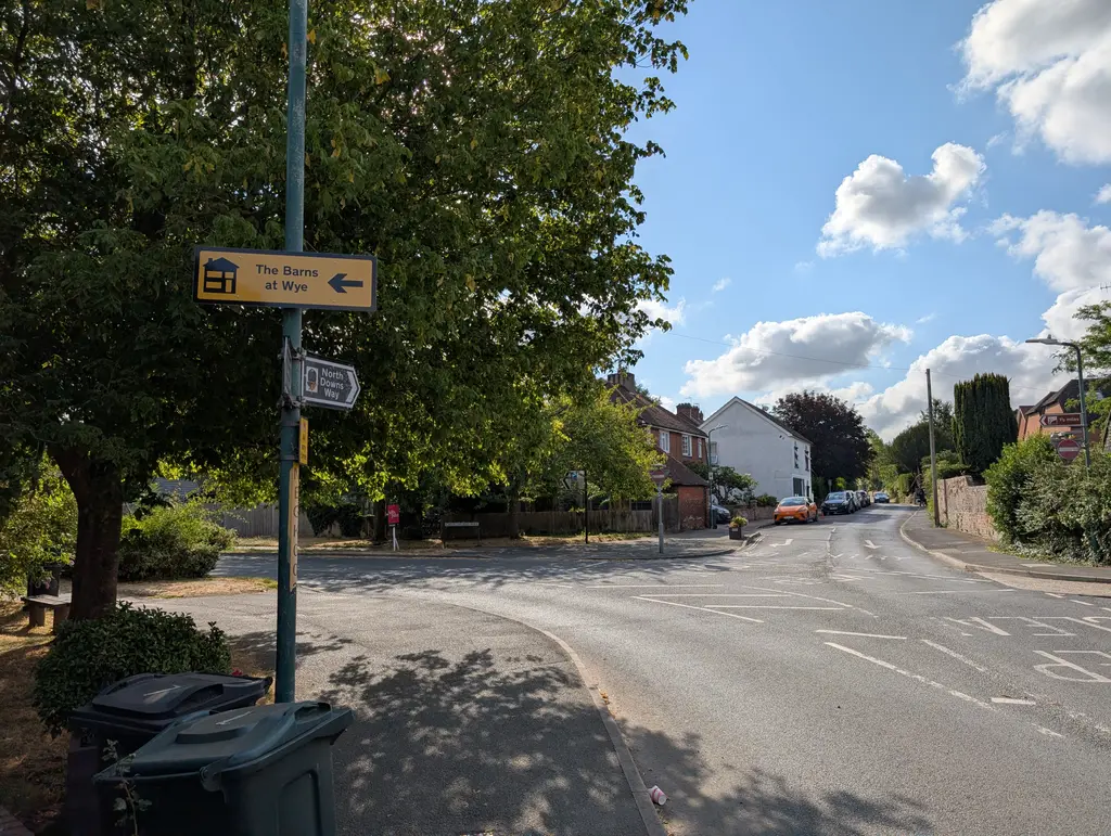
Continue straight along Bridge Street before taking a left turn onto Church Street. On the left side of Church Street you’ll see The King’s Head pub and St Gregory and St Martin Church in the distance.
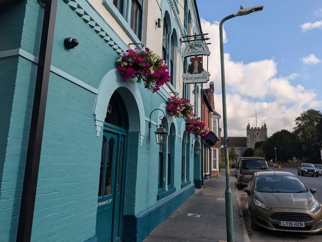
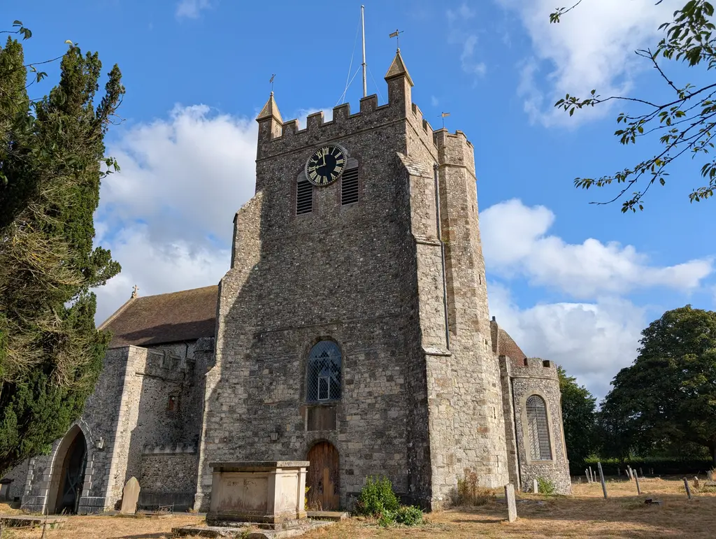
Continue into the grounds of St Gregory and St Martin Church, taking a slight right turn through the graveyard. The path passes some allotments on your left before taking a right turn onto Occupation Road.
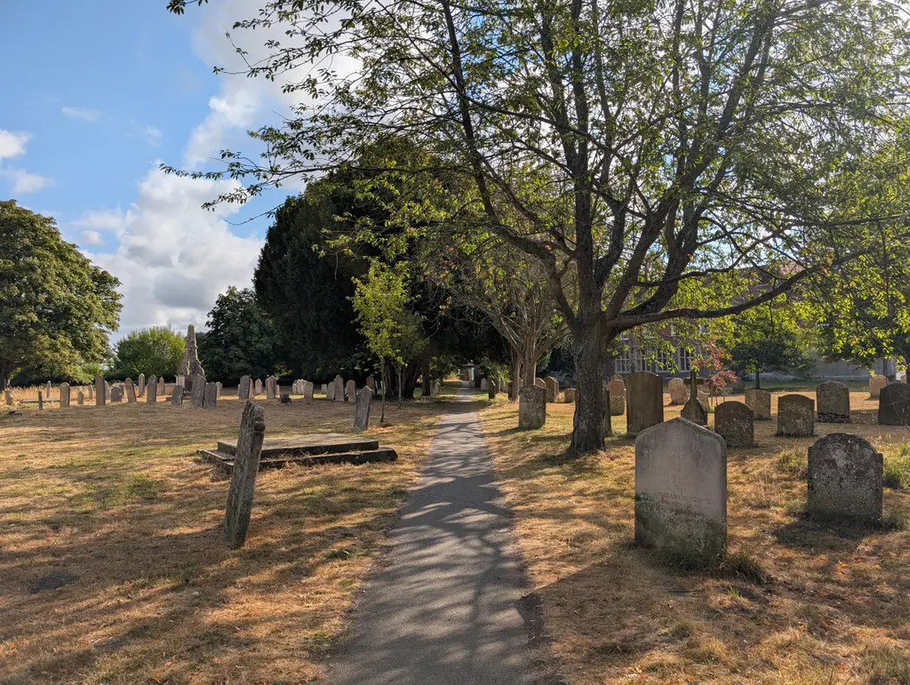
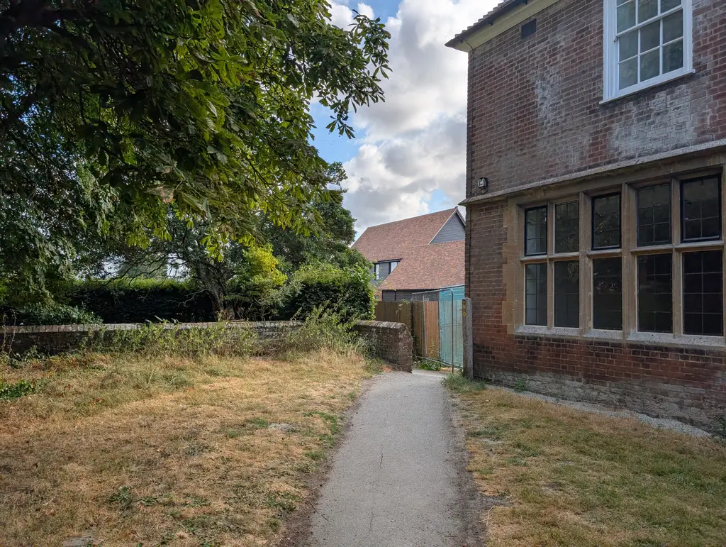
Get ready to give those legs a pump as you begin your ascent towards the Wye Crown. It’s a straight line for some time now with a gradual incline which ramps up with each field you pass through. There are some fantastic views back down into Wye for this section if you need to take a break at any point. Eventually, the path goes into the woods before emerging onto a road. Here you’ll take a right turn.
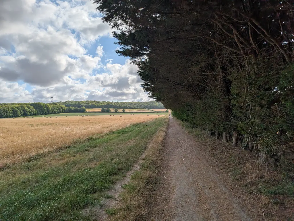
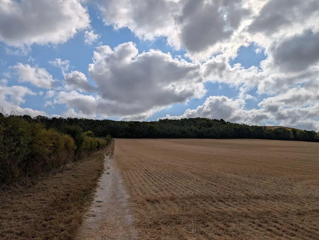
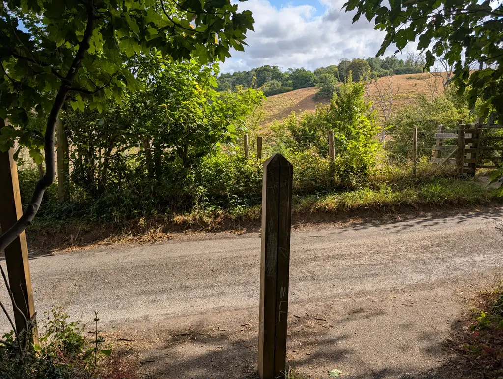
Walk straight along this road (still going uphill) before making a sharp right turn back into the woods.
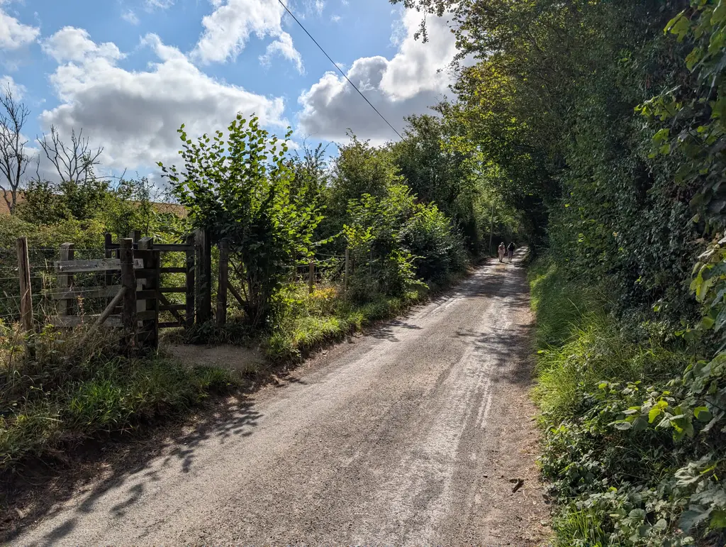
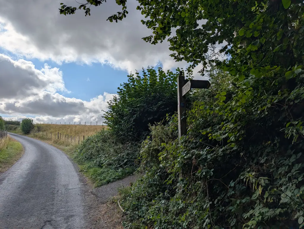
This wooded path takes you up onto the ridgeline with some fantastic views over the surrounding country. Take a left turn at a wooden gate and walk along the ridgeline.
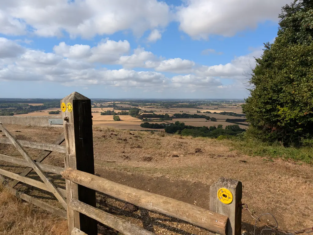
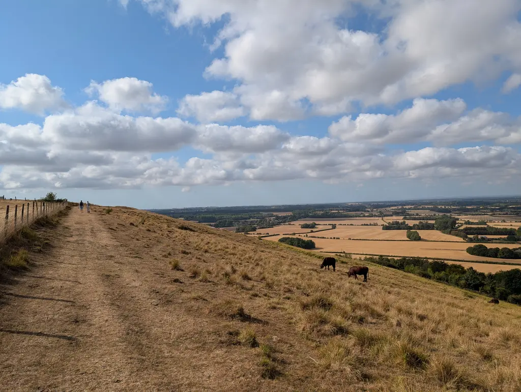
After a short distance, you’ll see a stone marker for the Wye Crown. This spot is actually where the North Downs Way was officially opened in September 1978 in a ceremony conducted by the Archbishop of Canterbury (I wonder if he walked up here). It’s a beautiful spot to catch your breath and take in the views.
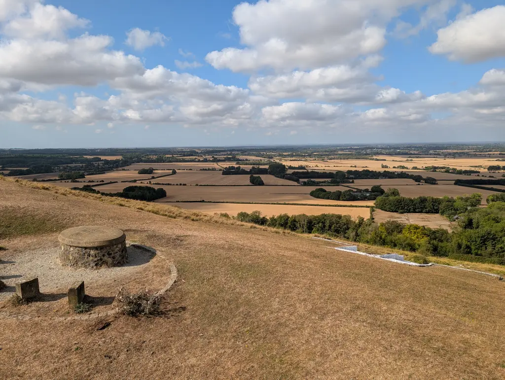
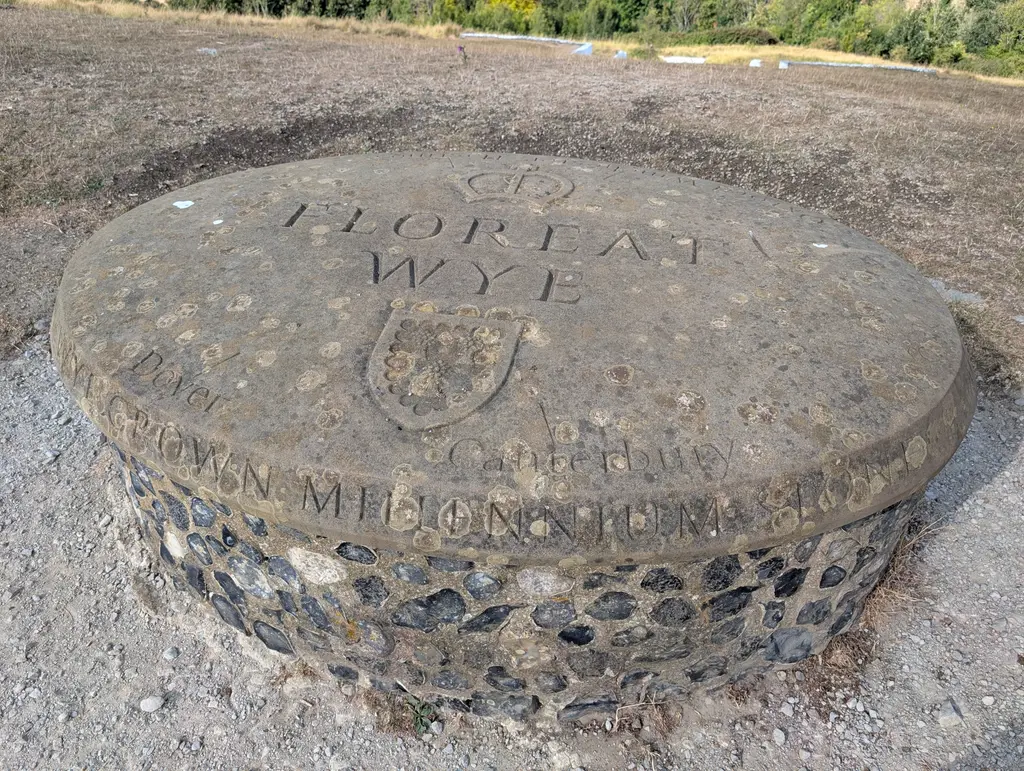
When you’re ready to get moving again, simply continue going straight along the ridge, keeping the lovely views on your right. The route passes through a metal gate before crossing Coldharbour Road and into the Wye National Nature Reserve.
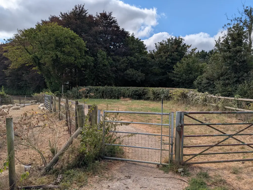
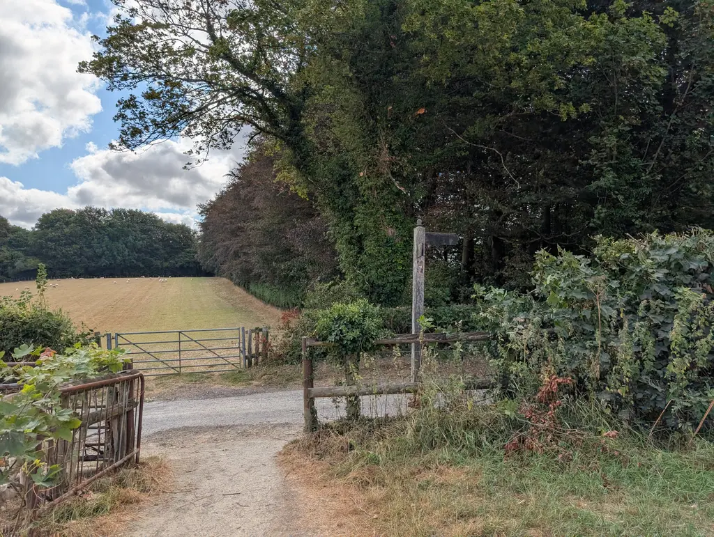
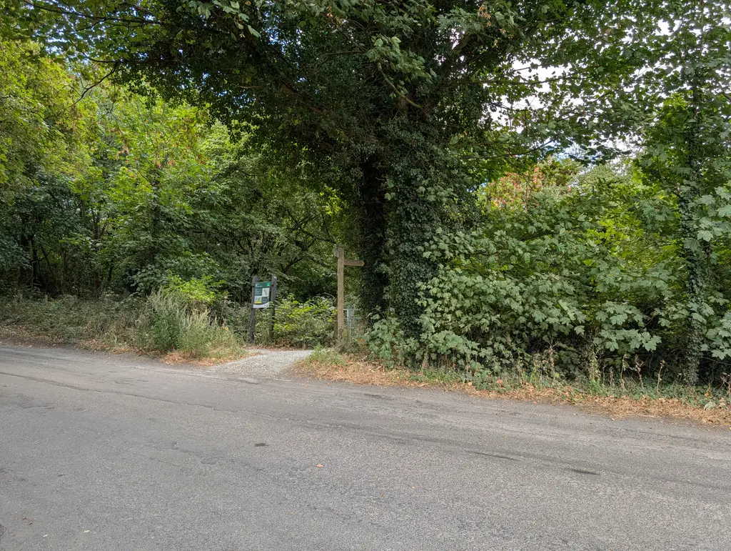
This section gets a little confusing as there are a few different trails along here. Just keep heading in the direction of the Devil’s Kneeding Trough while taking a route that runs roughly parallel to Coldharbour Road. You’ll know the Devil’s Kneeding Trough viewpoint when you see it as it’s a truly breathtaking valley.
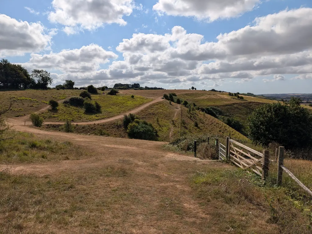
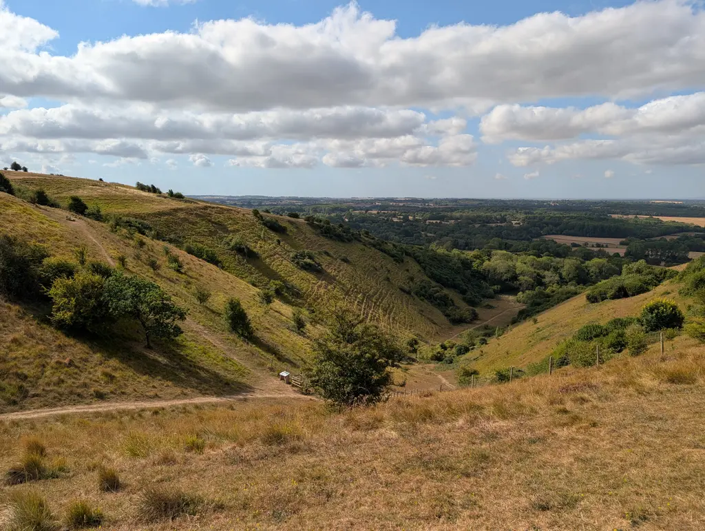
Make sure you don’t actually descend into the valley here (unless you fancy a steep climb back out). Instead, walk directly across it.
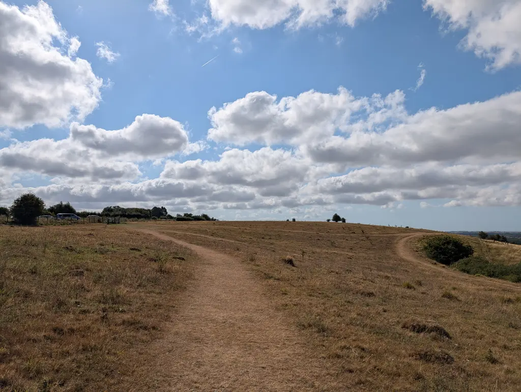
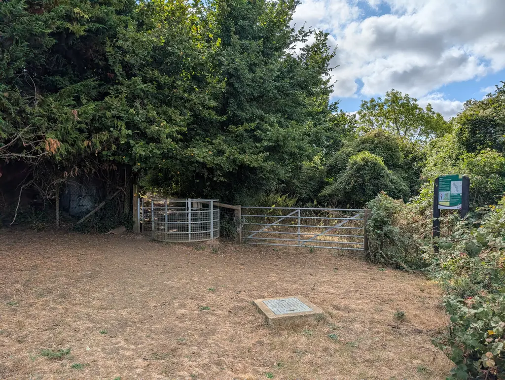
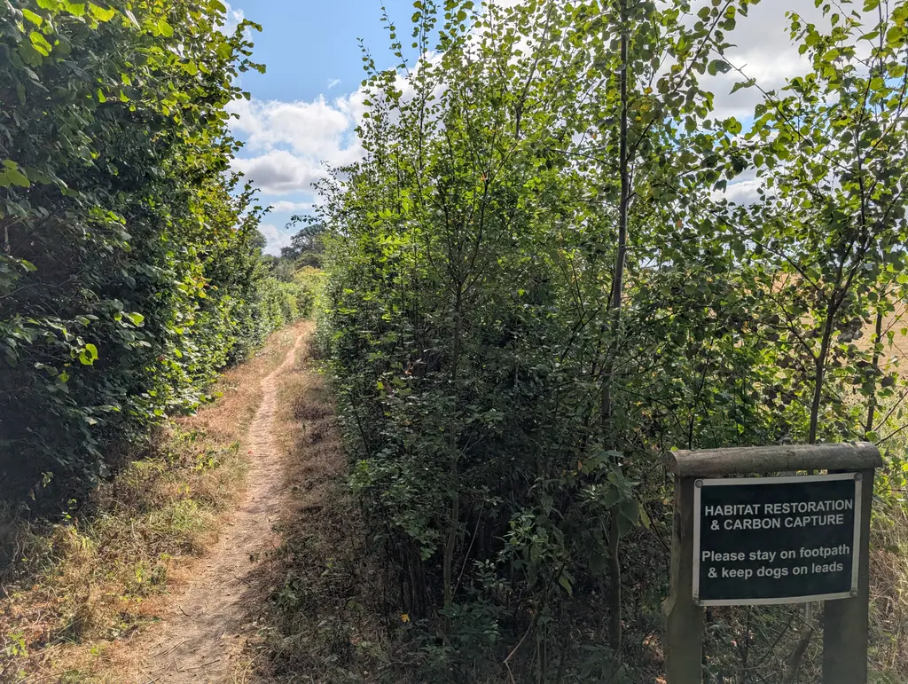
The route eventually comes to Cold Blow Farm where you’ll continue down a narrow path to the right side of the farm. For me, this was a pretty miserable section as the narrow path was quite overgrown and required some delicate footwork to avoid getting skewered by the various thornbushes along the way.
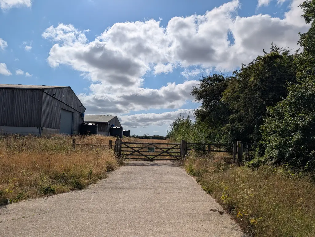
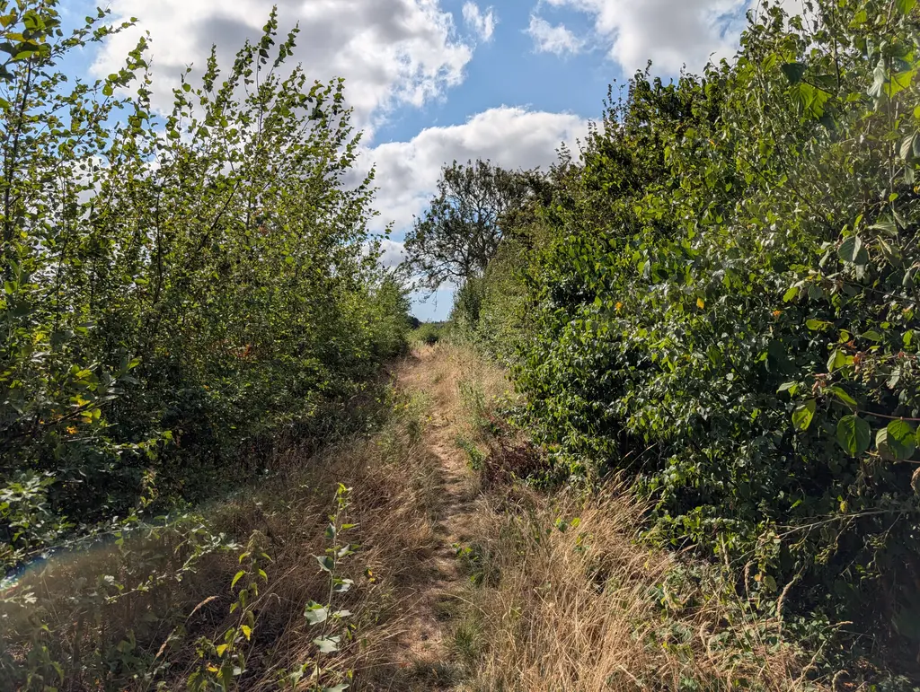
Continue walking and after a short while the path widens, taking you across an open field. Once crossed, you’ll see a gap in the hedgerows where the North Downs Way continues to the right, down a road.
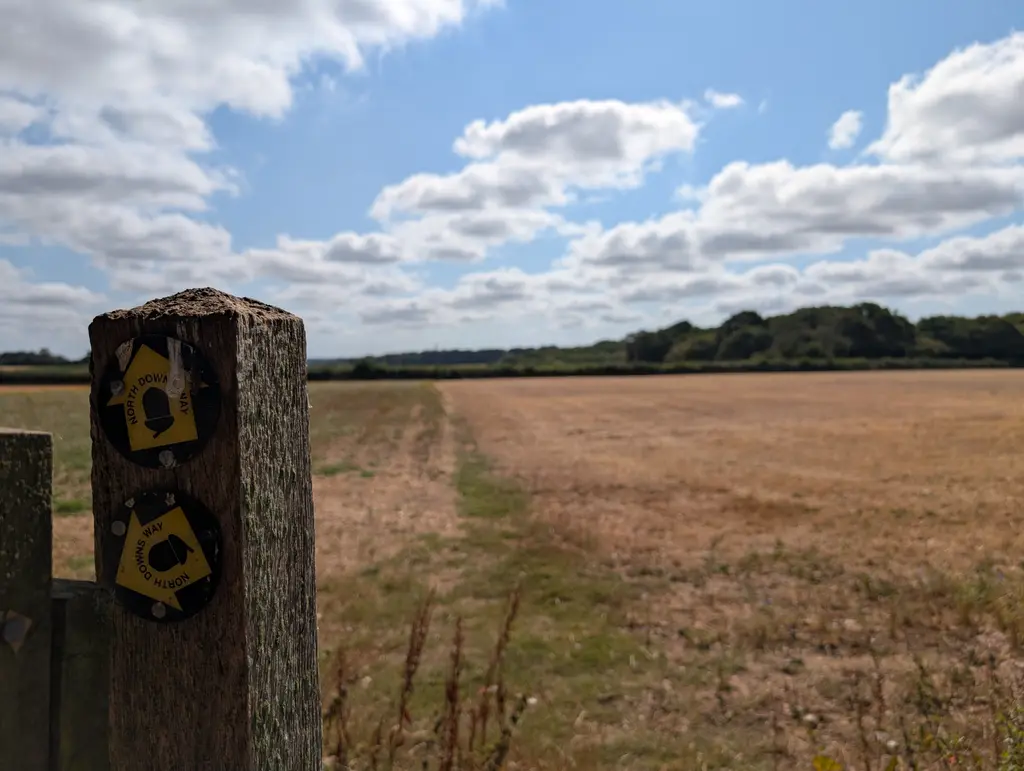
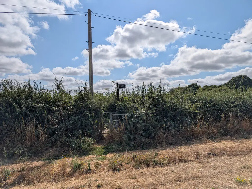
From here, there’s some very straightforward road walking for a prolonged stretch. After some time, you’ll take a right turn onto Kingsmill Down where there’s a great view of the countryside below. You then take a sharp left turn off Kingsmill Down Road through a metal gate.
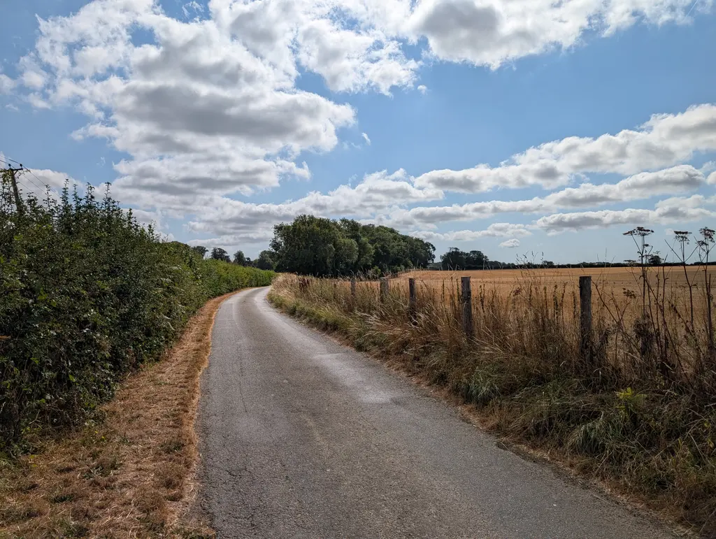
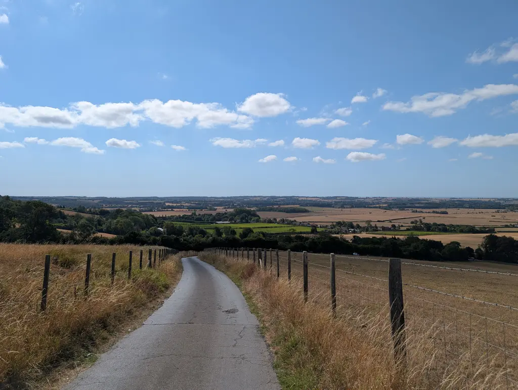
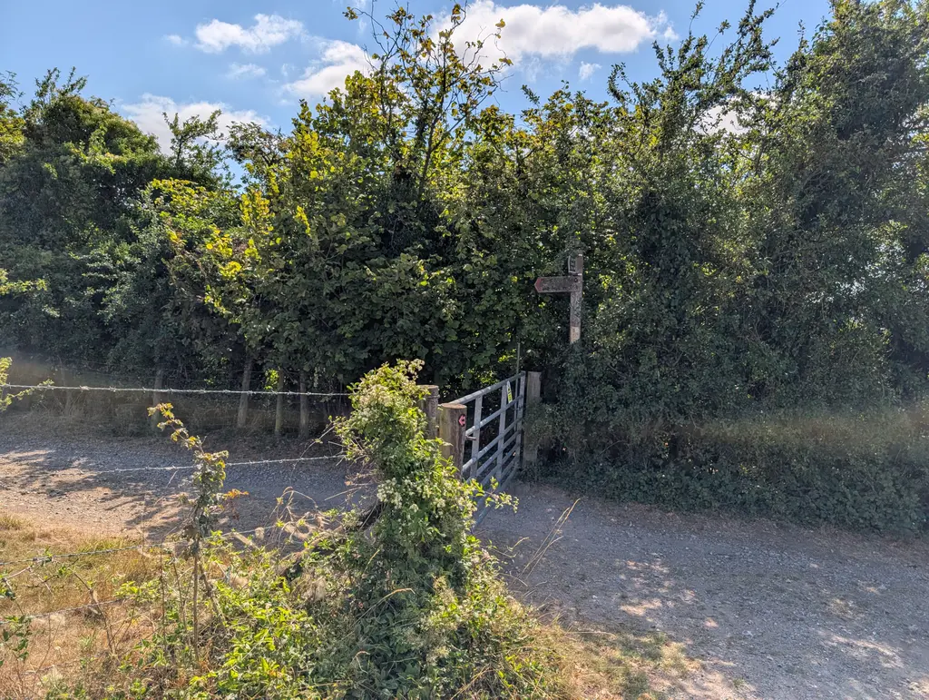
The path continues with a gradual incline. Here you’ll have hedges to your left-hand side and a lovely view of the country on your right.
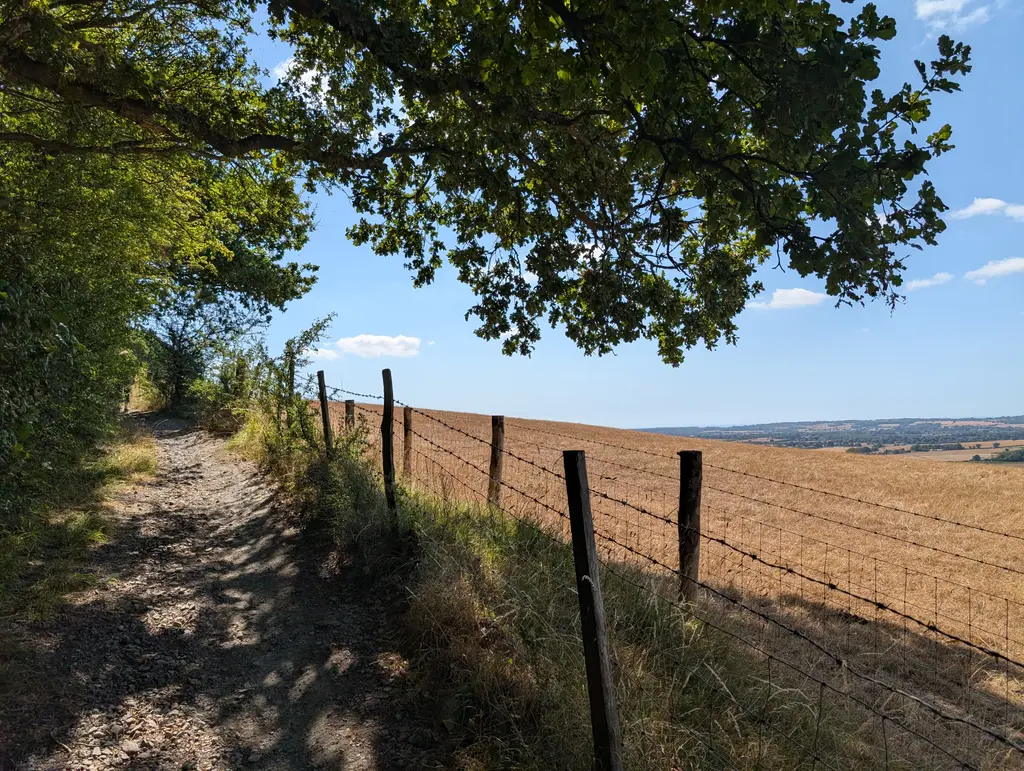
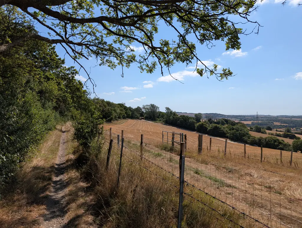
Eventually, the path connects with Canterbury Road, which you’ll go straight across. Continue straight before coming across another North Downs Way marker and taking a left turn onto Scot’s Lane. Here you’ll pass a sign for the charming village of Stowting.
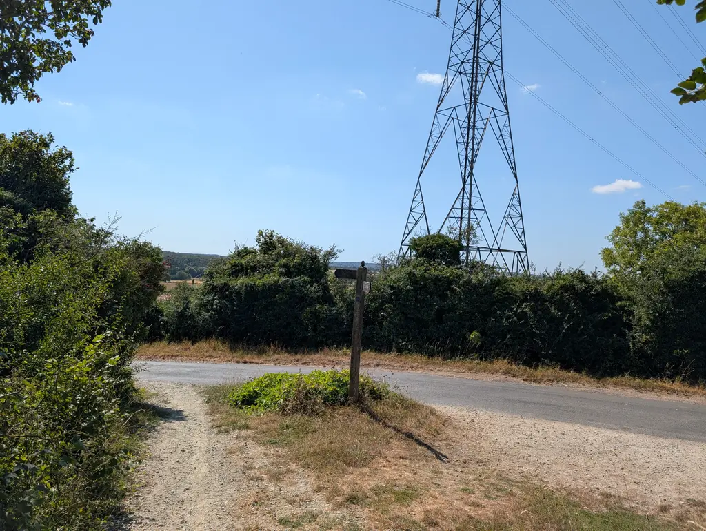
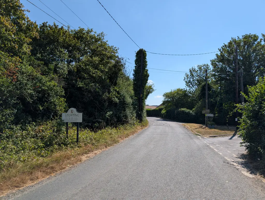
After walking down Scot’s Lane for a bit, the North Downs Way invites you to turn off the main road and walk parallel to it through a series of fields. This is designed to minimise road walking for this section as you’ll eventually come back out onto Scot’s Lane right next to the Tiger Inn. Continue walking along Scot’s Lane / Whiteways Road as it bends round a bit to the left, passing Water Farm.
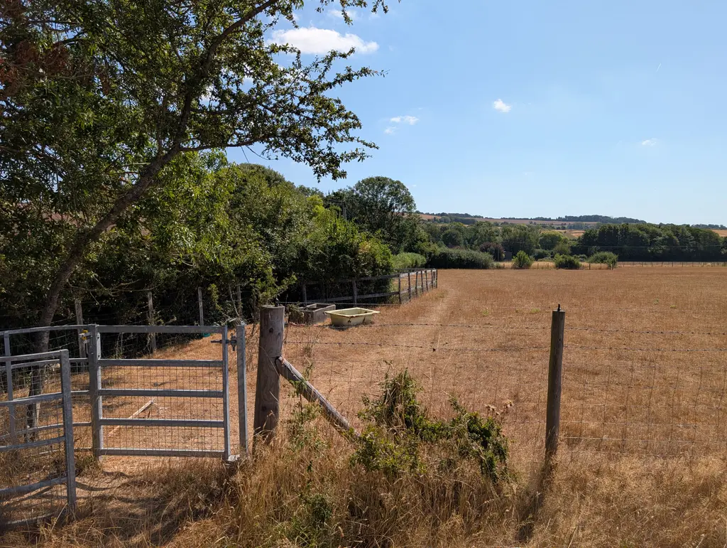
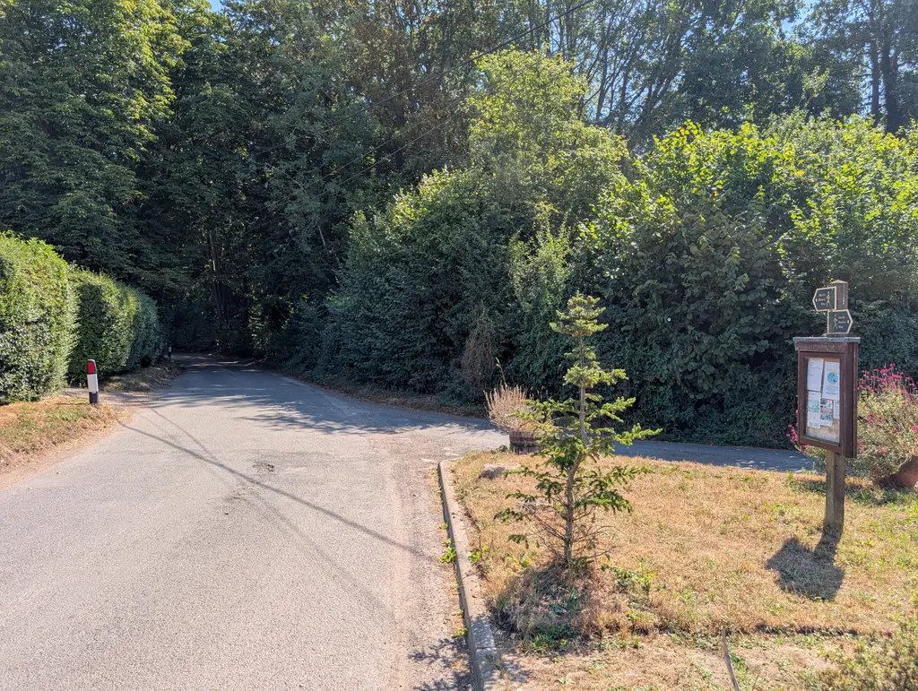
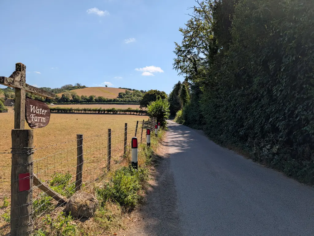
There’s some more road walking along Whiteways Road before the North Downs Way takes a hard left crossing Curteis Lane and walking up a hill.
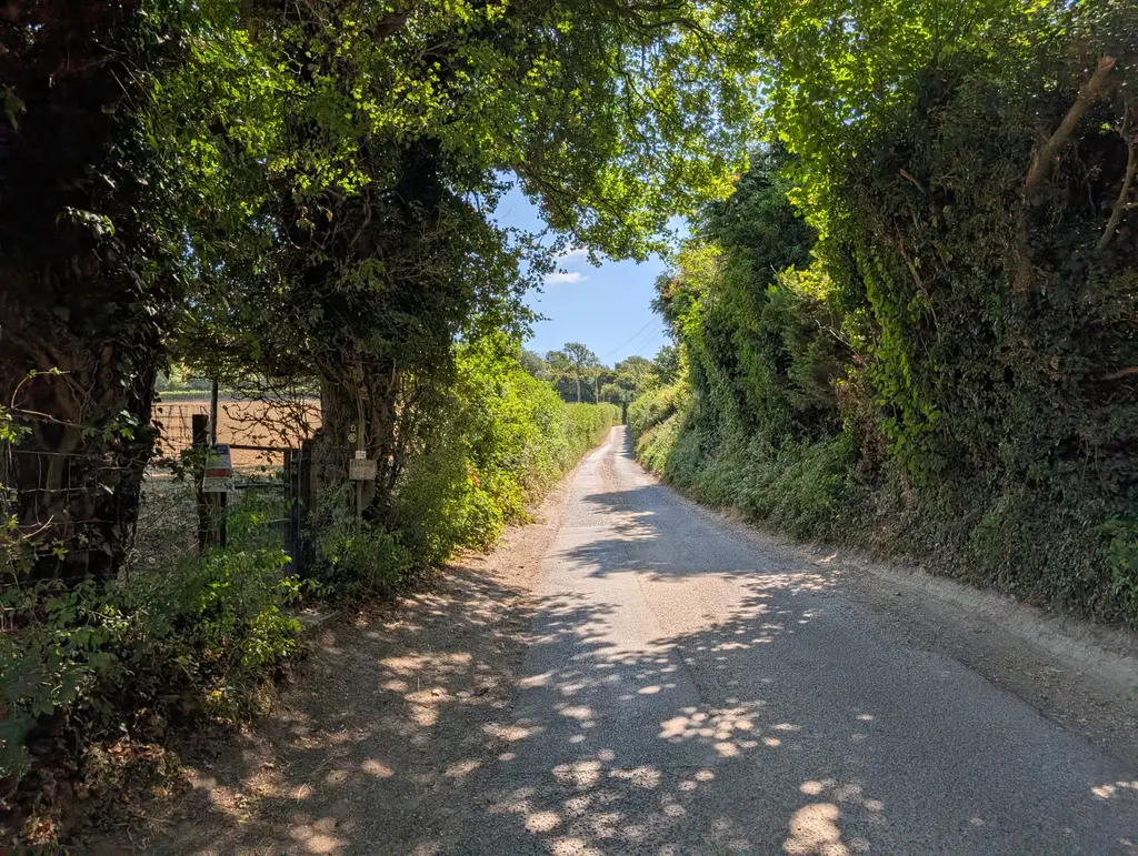
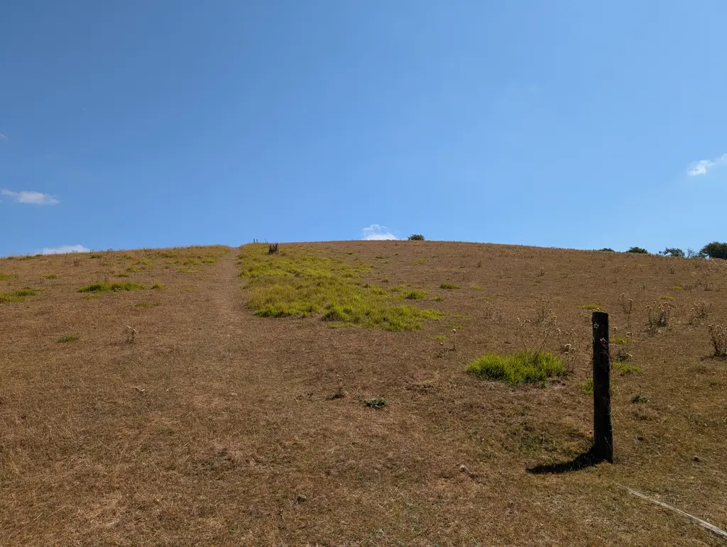
Continue walking straight across the next series of fields. When I walked this section, some North Downs Way markers were missing, but you want to head directly towards Stone Street which the path meets at the far side of the last field. The route takes a right turn and runs directly parallel to Stone Street (you wouldn’t want to walk along it as it’s fairly busy).
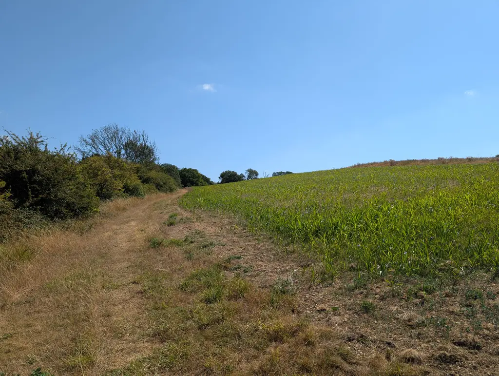
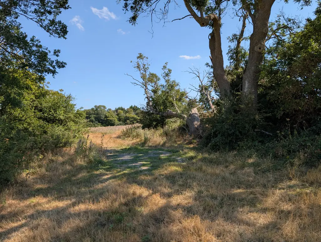
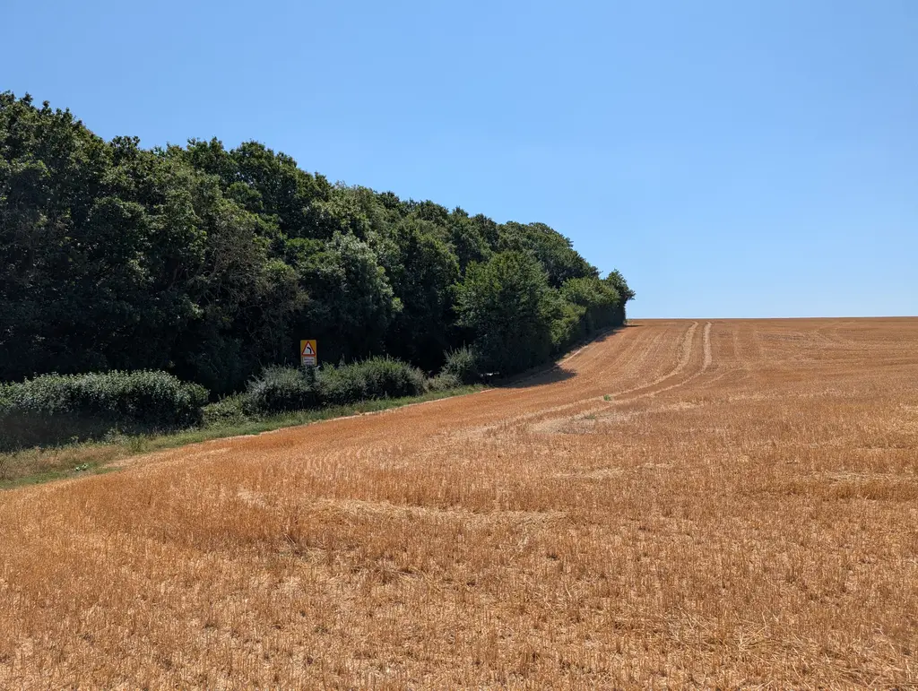
After a bit of walking, you’ll see an opening on your left where you can carefully cross Stone Street and continue through a car park. The North Downs Way then crosses Farthing Common Road.
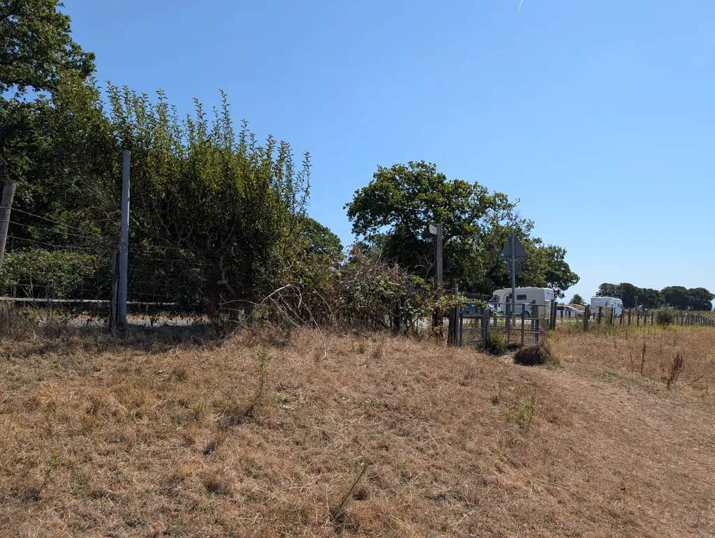
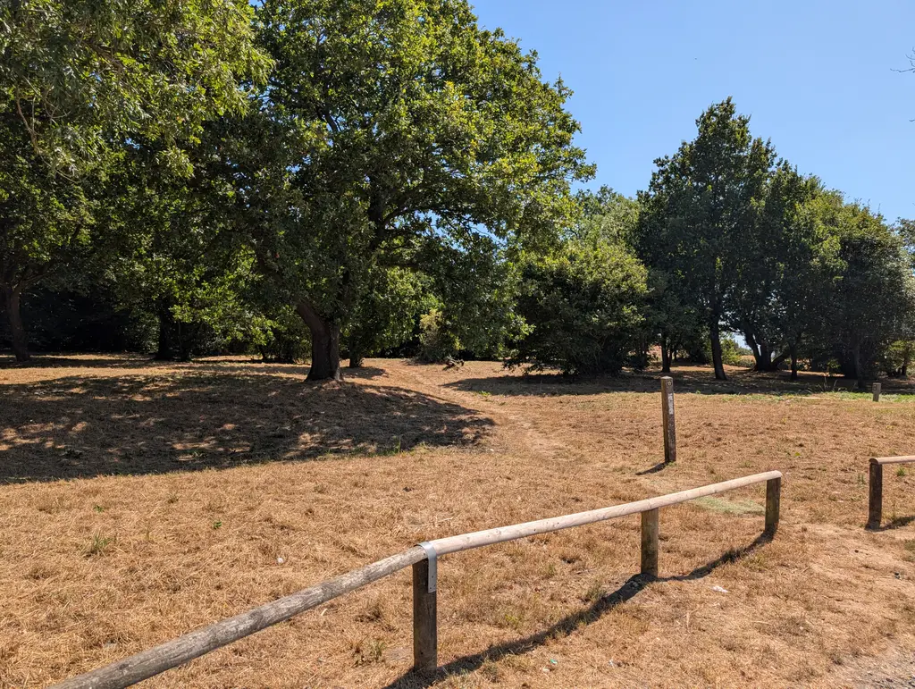
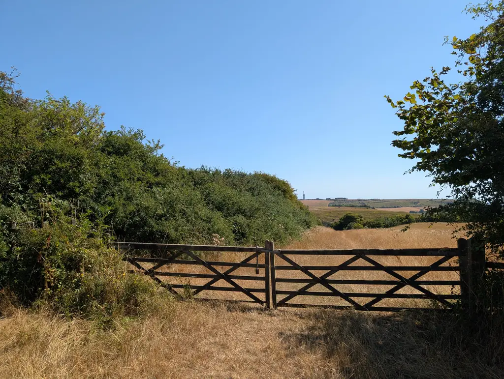
The next portion of the route is quite straightforward as you keep heading in the direction of Tolsford Hill Radio Station in the distance. See below some photos I took along this stretch.
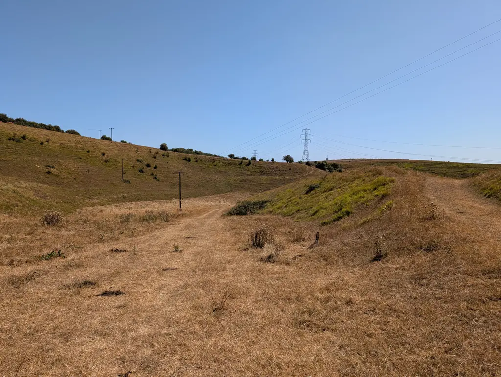
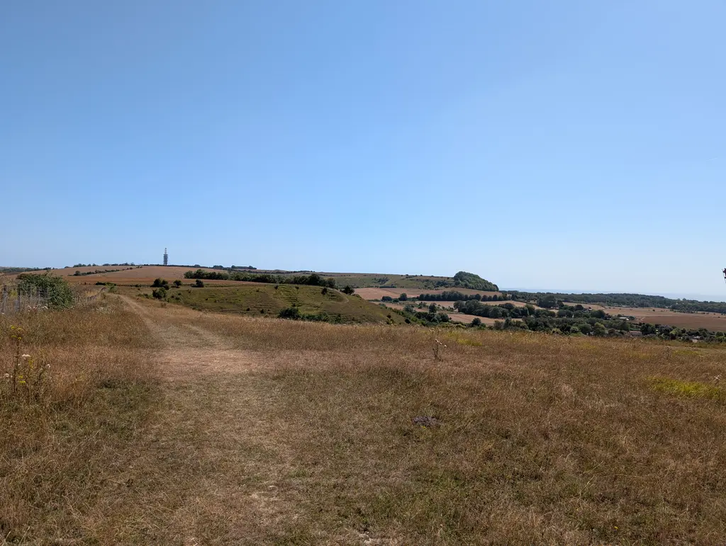
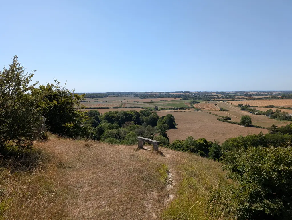
Pass to the left of Tolsford Hill Radio Station before taking a left turn into the Beeches Wood. The path then briefly reconnects with Canterbury Road where you’ll take a right turn followed by a slight left off Canterbury Road.
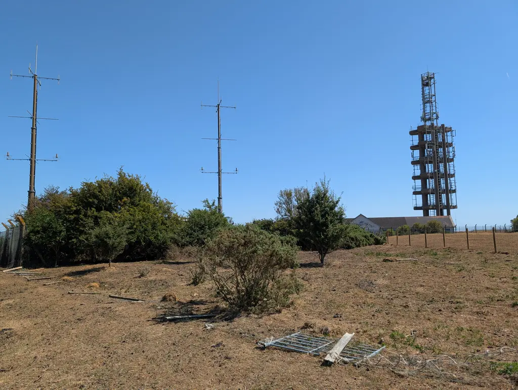
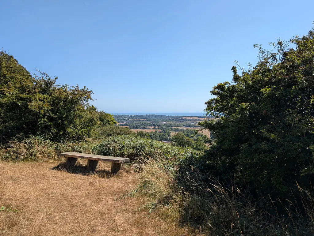
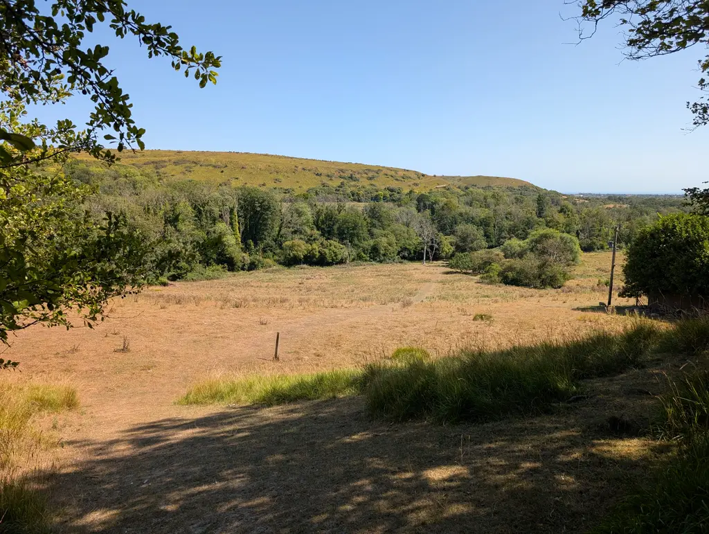
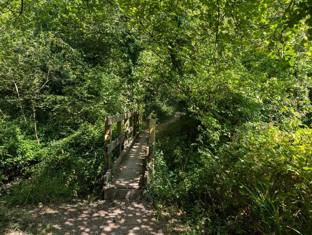
You then cross a lovely stream and pass through a railway tunnel (during my walk there were loads of sheep grazing in these fields).
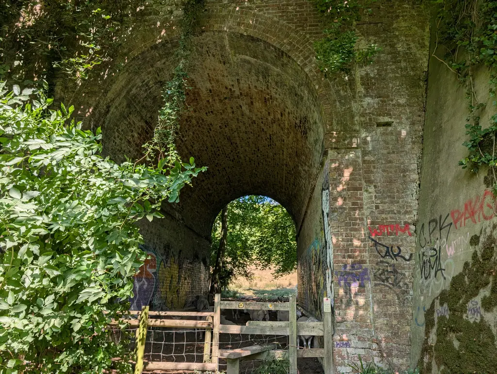
After coming out of the tunnel, continue straight on and up a pretty brutal hill, especially bad for how late it comes in this section. If you find yourself walking uphill and struggling for breath, then you’re most likely still heading in the right direction.
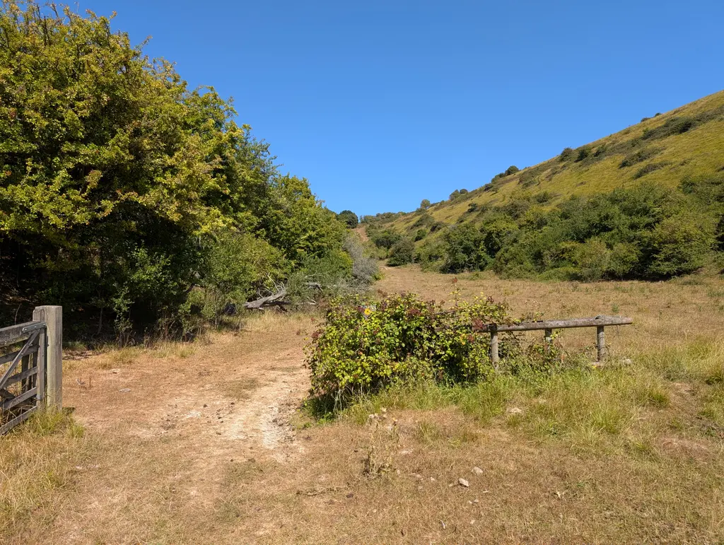
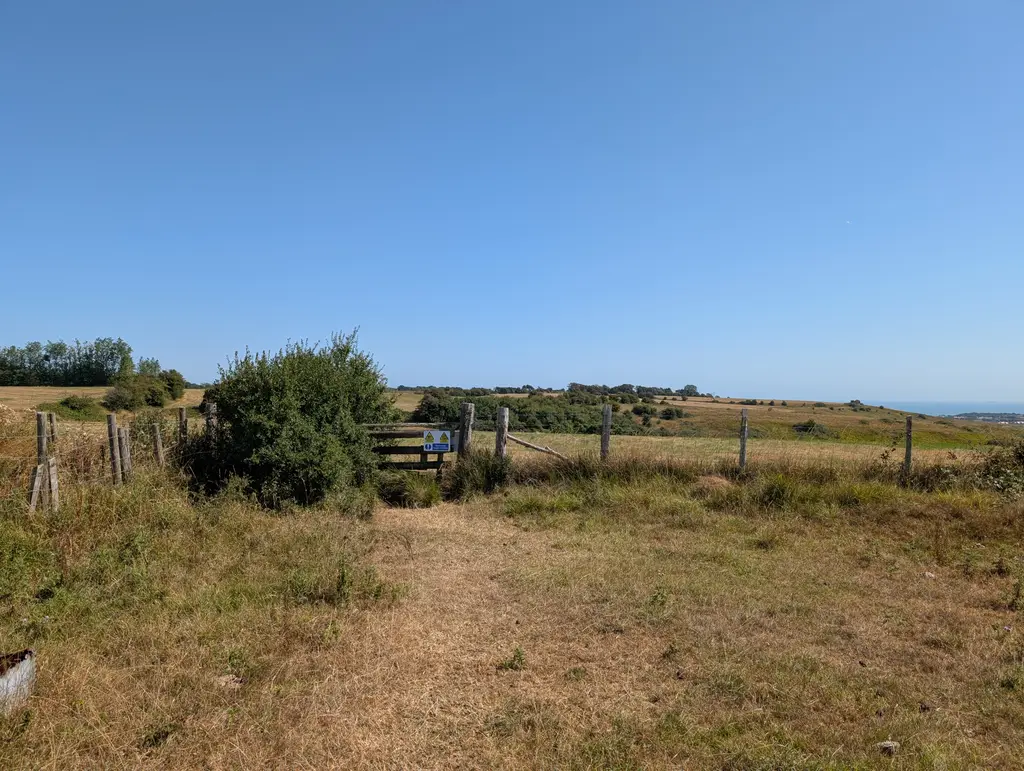
You then pass through several fields with signs for army training exercises (although I didn’t see anyone on the day I walked it). I didn’t get many photos for this stretch, but the North Downs Way takes a right turn, then another right a bit later as you’re crossing these different fields (look at the map above).
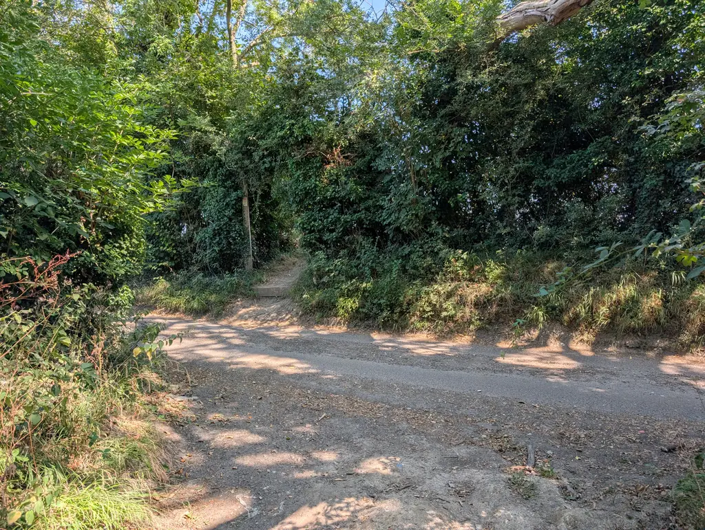
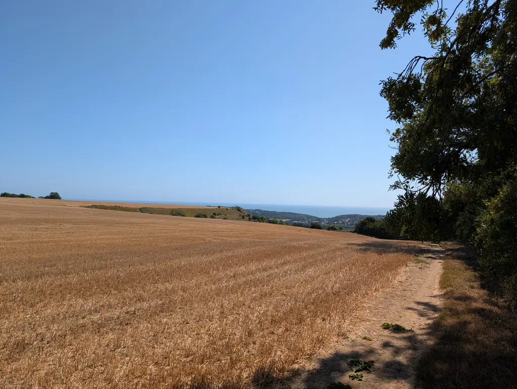
After crossing a road and walking along the side of a field, you’ll see the view into Folkestone really open up down below. You essentially continue along this ridge for the remainder of the section, which makes for a wonderful way to end this stretch. You’ll have some great views of the Folkestone White Horse if you keep a look out. The route starts running parallel to Crete Road West until this section finishes.
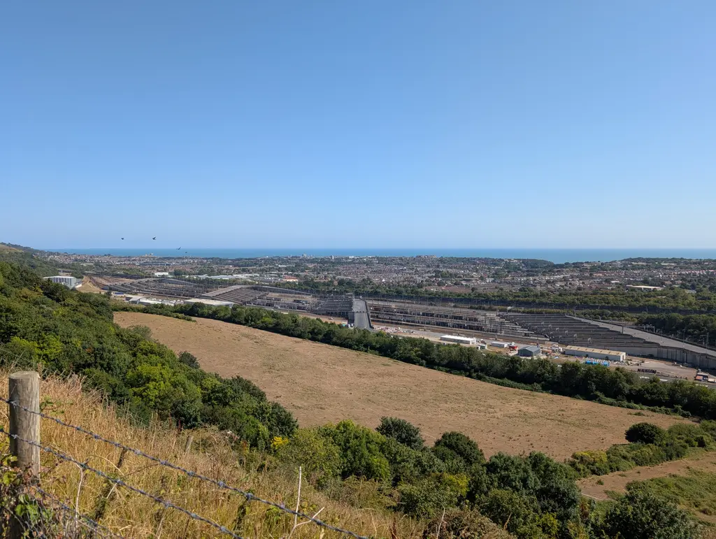
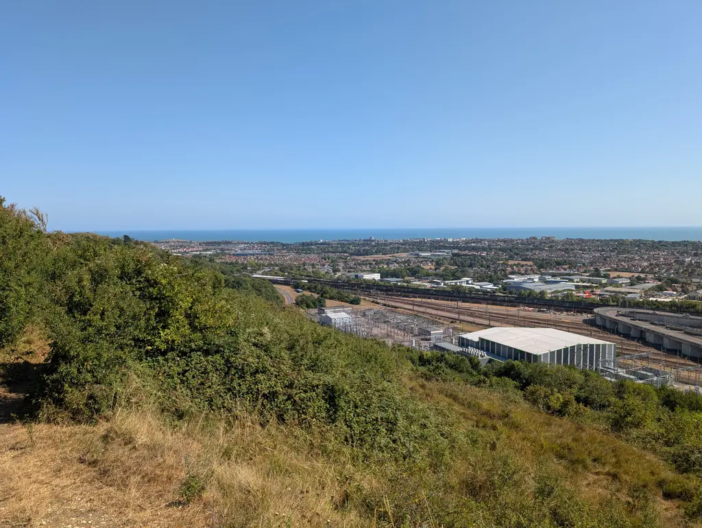
Right next to Crete Road West is the next North Downs Way marker, marking the end of this section.
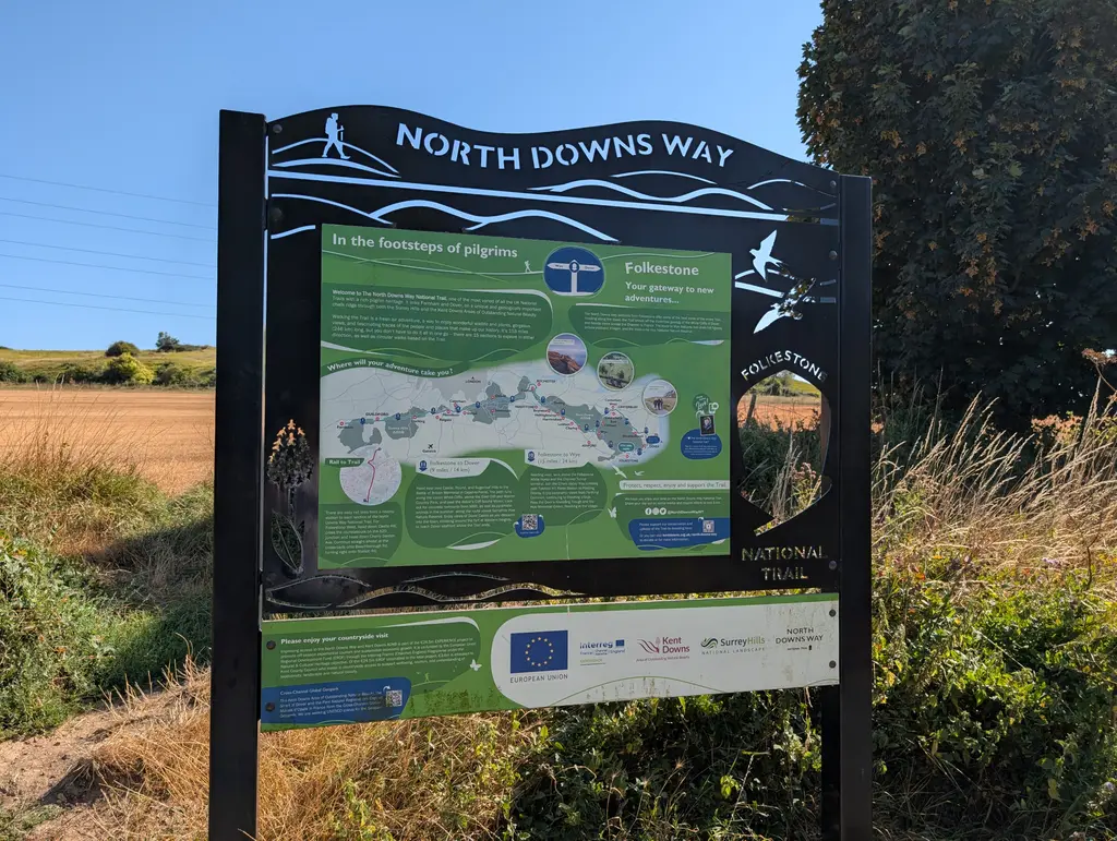
Congratulations! You’ve just finished one of the toughest sections of the North Downs Way National Trail. When you’re sufficiently rested, please check out the next section, walking from Folkestone to Dover, the final leg of this spectacular National Trail.
Next Section
Folkestone to Dover (8.5 miles)
The final leg of the Mainline Route, finishing at the White Cliffs of Dover. This page is currently under construction.
Previous Section
Lenham to Wye (11 miles)
The Lenham to Wye stretch of the North Downs Way is one of the flattest, most straightforward sections of this National Trail. The distance comes in somewhere between 11 and 12 miles, although due to the lack of elevation gain, you’ll likely complete it much quicker than previous, more hilly sections.