
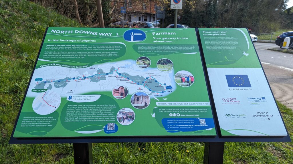
Walking from Farnham to Guildford
Weather Forecast for this Section
Route Directions
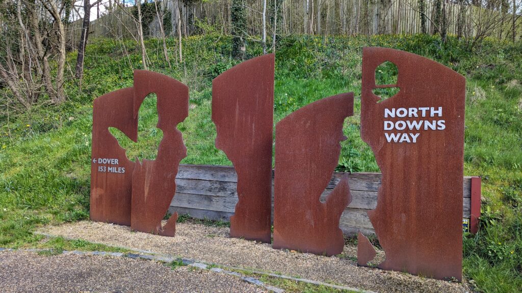
Walking from Farnham to Guildford marks the first section of the North Downs Way and encompasses a total distance of 11 miles. The section begins in the picturesque town of Farnham, Surrey, just off the side of the A31. If you’re accessing the trailhead from Farnham train station or the car park right next to it, there’s a handy notice board just opposite the station entrance displaying a map of the local area. To get to the starting point, head downhill from the station and turn right at the crossroads. This is where you’ll find the official trail start point marked by a large sign and notice board.
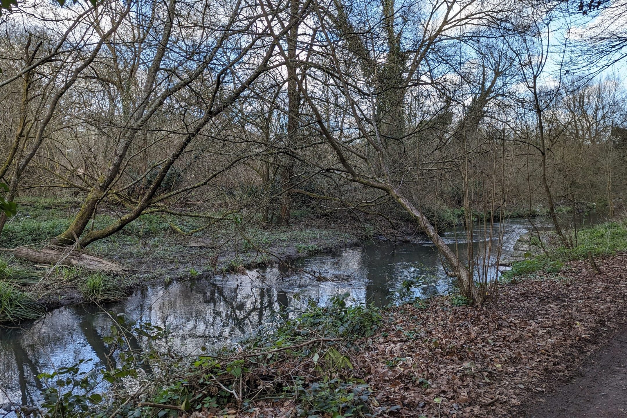
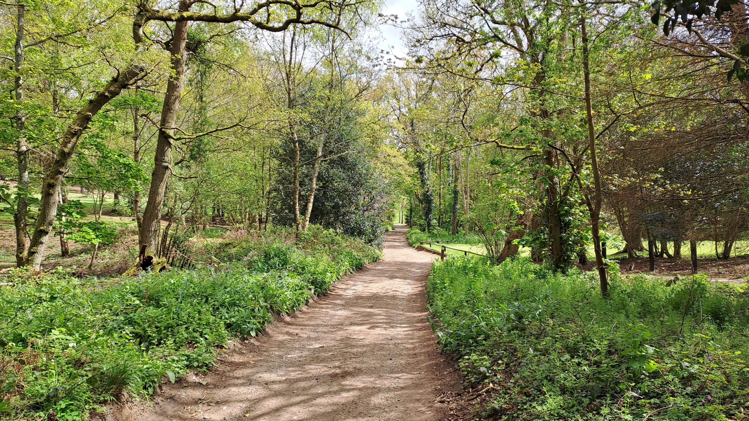
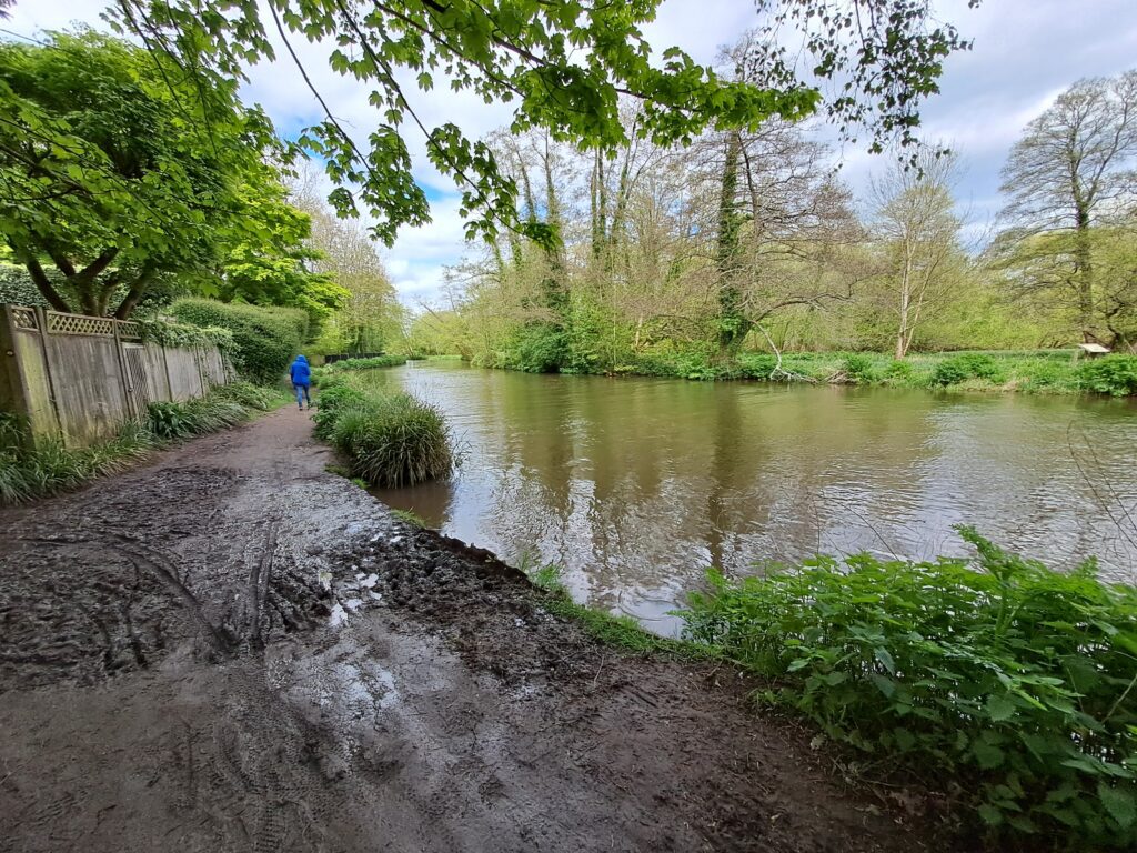
Continue heading down the A31 before turning right at the first North Downs Way signpost. This path will take you into the woods running parallel to the A31 and passing an M&S service station. The route then follows the River Wey deeper into the woods, offering some lovely photo opportunities depending on the time of year. Be sure to watch out for swarms of midges during the more humid months as they like to group around the river. The path continues straight alongside the River Wey until you reach a sign for the ‘Kilns Public Footpath’. It’s here that you turn right to follow the path under the railway tracks and deeper into the woods. This section of the route features easily readable signposts that should keep you on the right track as you follow the North Downs Way signs. Be careful not to accidentally follow one of the ‘Public Footpath’ markers as those are not the same as the official North Downs Way route markers.

After turning left at a fork in the path and then turning right through a wooden gate, you’ll pass by a beautifully carved wooden bench. The path continues straight for around five minutes before reaching a main road. Here you’ll turn left before making sure that you follow the road as it bends round to the left so that you’re on the Moor Park Lane road. Don’t make the mistake of walking straight ahead down Moor Park Way. Continue down this road before reaching a right turn through a black gate that very briefly takes you into a private housing estate. There is then an immediate left turn tucked away in the bushes that takes you up a hill onto Compton Way and past Moor Park. After following this route for a few minutes, the road will bend to the right, it’s important that you carry on straight into the woods by following a tucked-away signpost. You should be moving towards the Runfold Wood Nature Reserve.

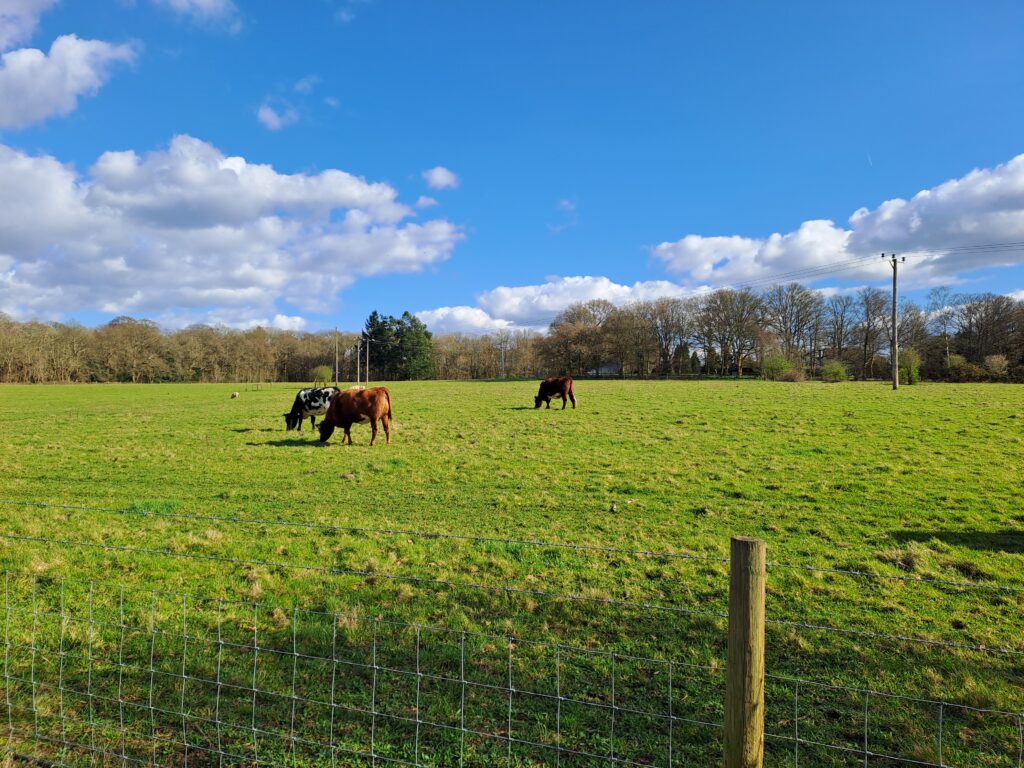
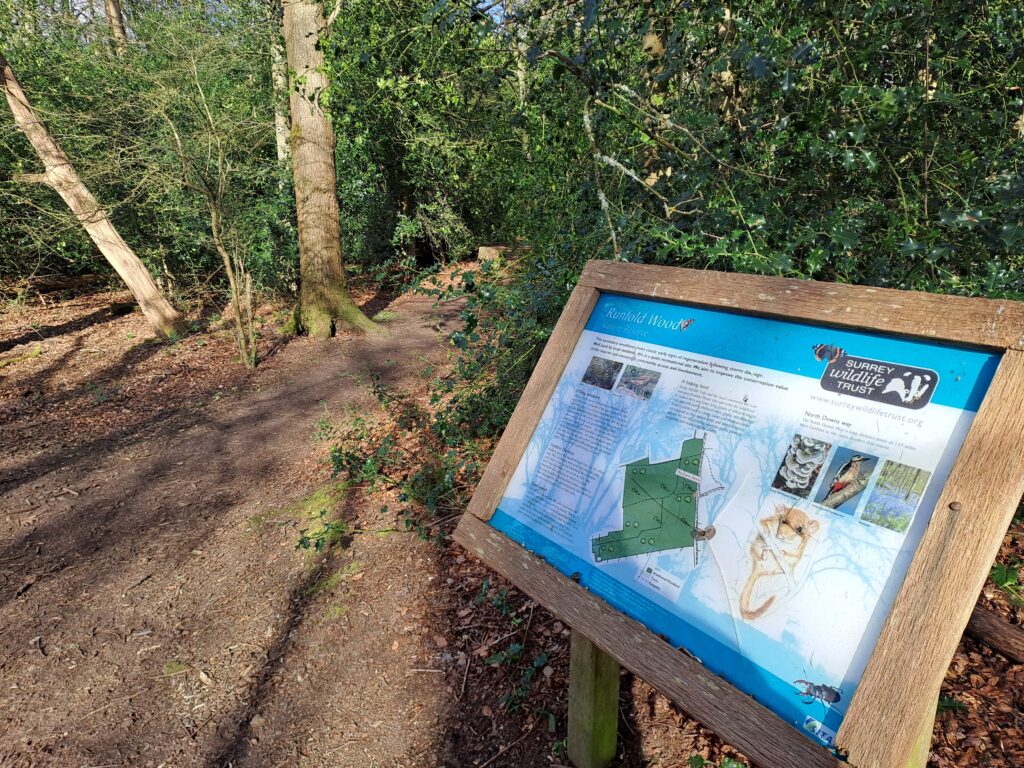
Continue walking through the Runfold Wood nature reserve while greeting any cows you happen to encounter on your walk through the first field. The path then enters a wood containing a notice board for the nature reserve. The route is well signposted in this section so just look out for the North Downs Way markers.

After leaving the Runfold Wood nature reserve you’ll have to cross a busy road before briefly heading down another wooded path. Dogs should definitely be kept on leads here as you’ll then be required to take the next right following Sands Road. During my time on the trail this road wasn’t too busy but it’s best to be careful as the cars coming through here can be very fast and there are a few blind spots coming round bends.
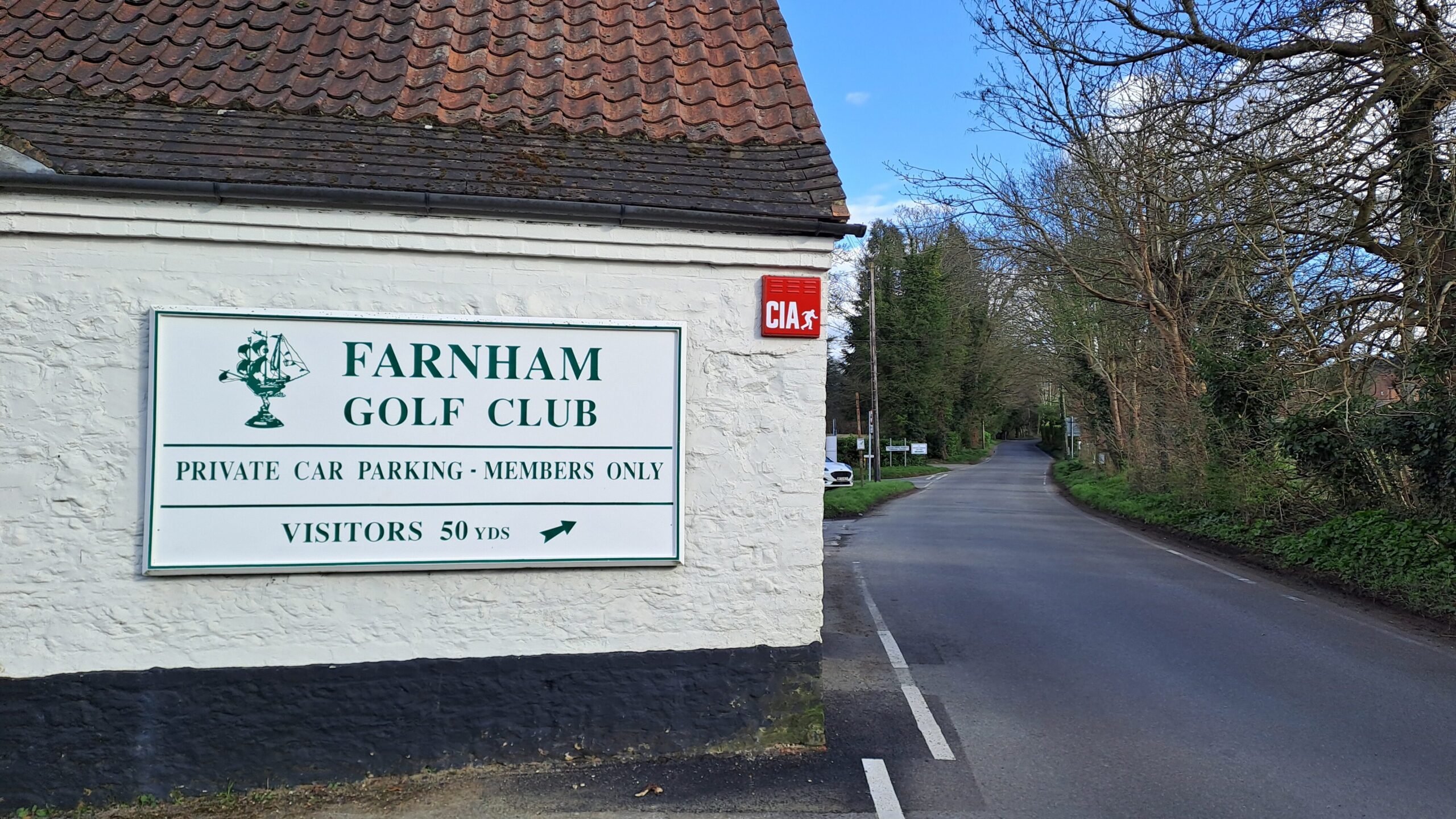
You’ll want to continue down Sands Road before taking a left at the Farnham Golf Club down Blighton Lane. The turn down Blighton Lane isn’t signposted at all so is easy to miss. Continue down this road and take a slight right that takes you down another wooded path running parallel to the golf course. You’ll then cross Binton Lane to continue down the same wooded path into Binton Farm. You’ll know that you’re on the right track as the view opens up onto a vineyard that features a conveniently placed bench near the end of the second field. A great spot for a lunch break with lovely panoramic views of the surrounding area.
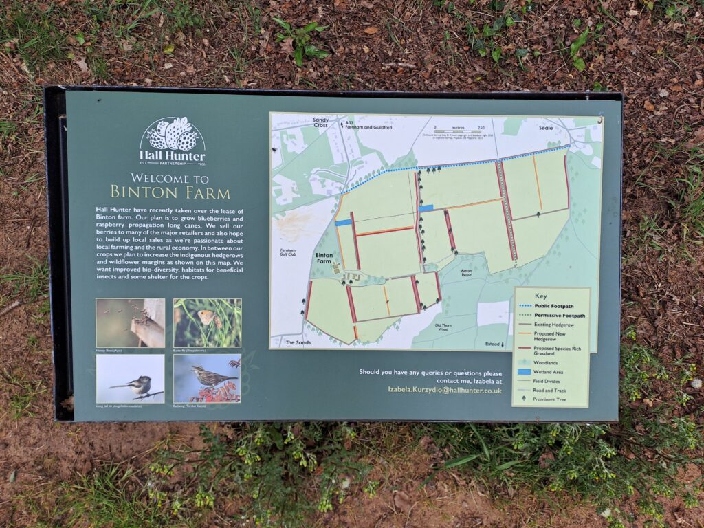
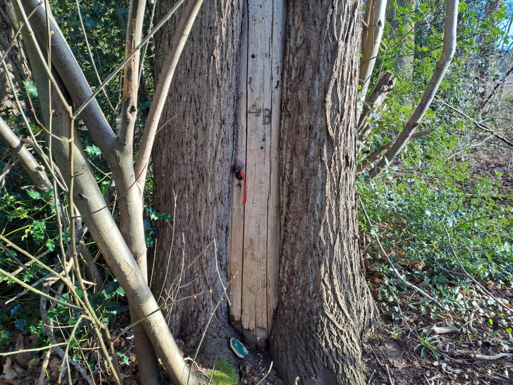
Upon leaving Binton Farm, cross School Hill road. Be careful while crossing as cars seem prone to speeding round this bend. Right before entering the next wooded section you should be able to spot a fairy door carved into one of the trees.
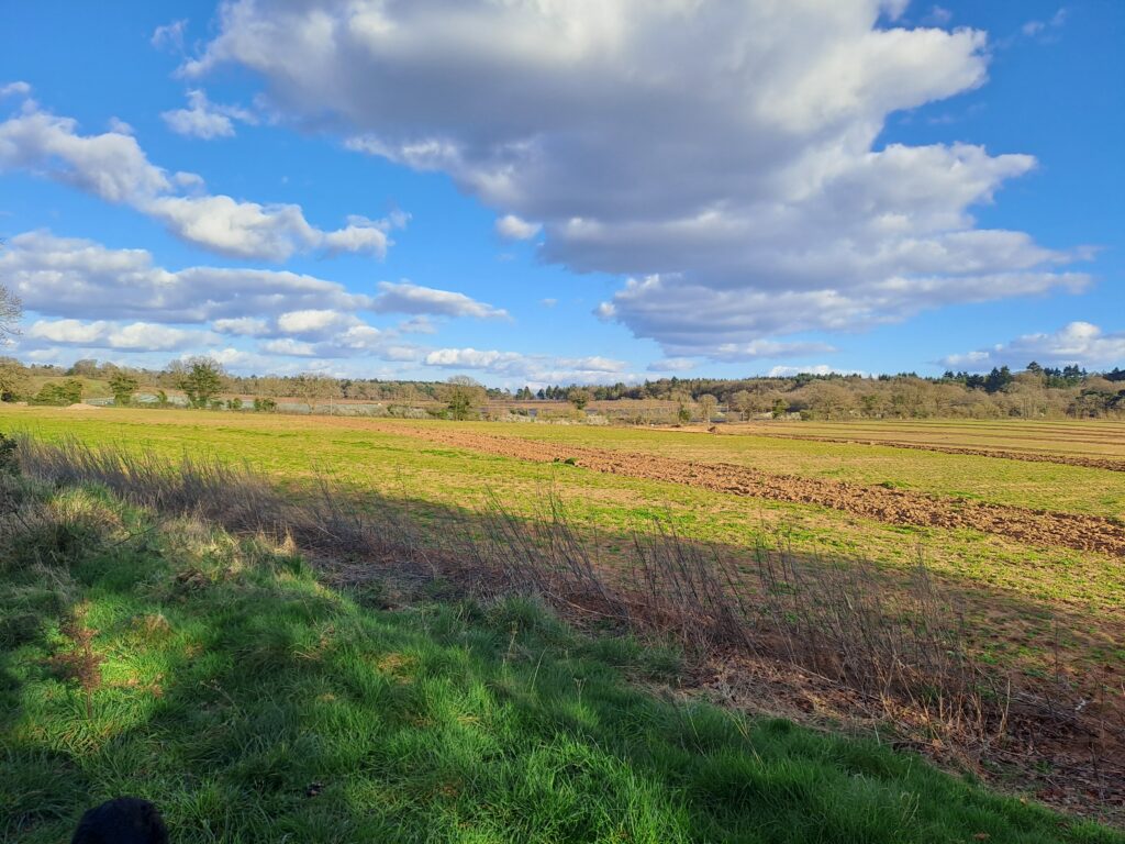
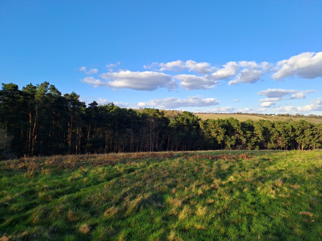
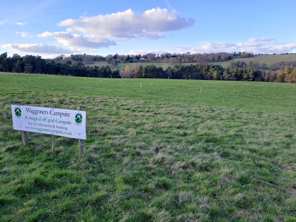
The next section is very well signposted and eventually opens up at the top of a field overlooking the Hogs Back. In my opinion this is one of the most picturesque parts of this section so definitely worth taking some photos. When you’re ready to move on, continue across the top of the field before passing by the Waggoners Campsite and heading back into the woods.
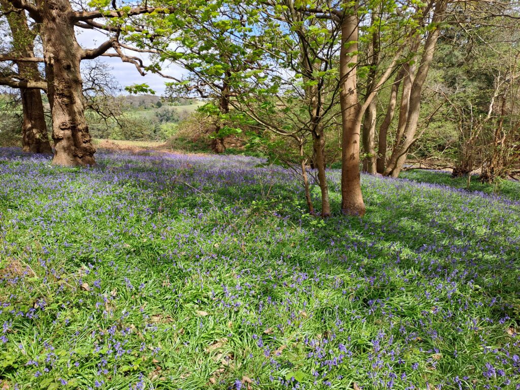
The route continues through the woods and up over Puttenham Common before descending back down into the village of Puttenham. Fortunately this part is well signposted although you should be prepared for several uphill sections. Be sure to take note of any wildflowers you spot along the way. Depending on the time of year you’ll likely be able to spot a variety of different flowers along this part of the route. Continue on until you reach Puttenham.

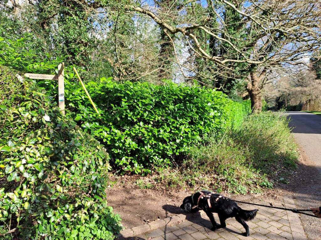
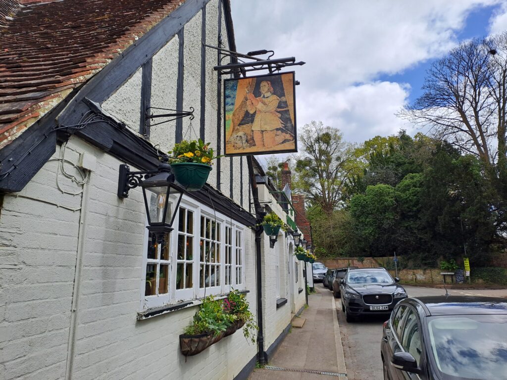
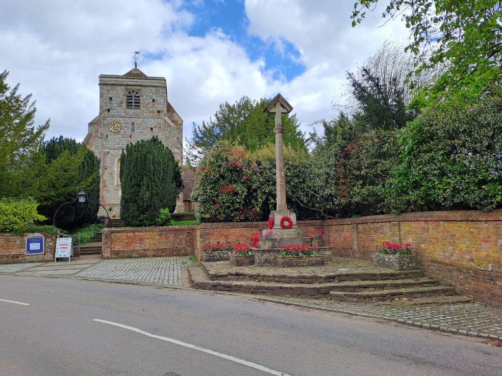
As you enter the village of Puttenham, signs for the North Downs Way trail disappear. To stay on track keep going straight through the village passing the Good Intent pub. This cosy pub is a great option for taking a small break with excellent food and friendly staff. Continue along the road past the church and war memorial before reaching a T-junction. Here you’ll turn right towards Puttenham Golf Club. Next to Puttenham Golf Club there is a North Downs Way signpost directing you onto a path that runs parallel to the golf course.
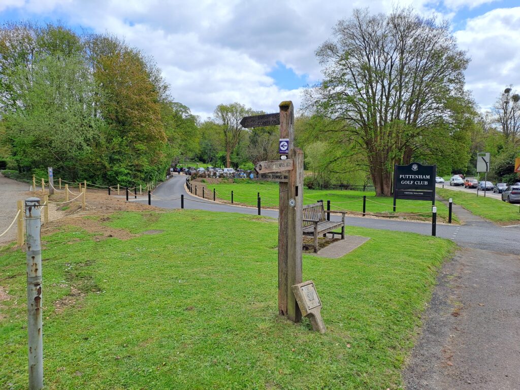
The next section is fairly straightforward as the route continues alongside Puttenham Golf Course. Signs for the North Downs Way are also fairly regular although most indicate that you keep moving straight on. The terrain can be quite sandy here so be careful not to lose your balance. From this point until Guildford the route stays in more or less a straight line with only a few minor deviations.
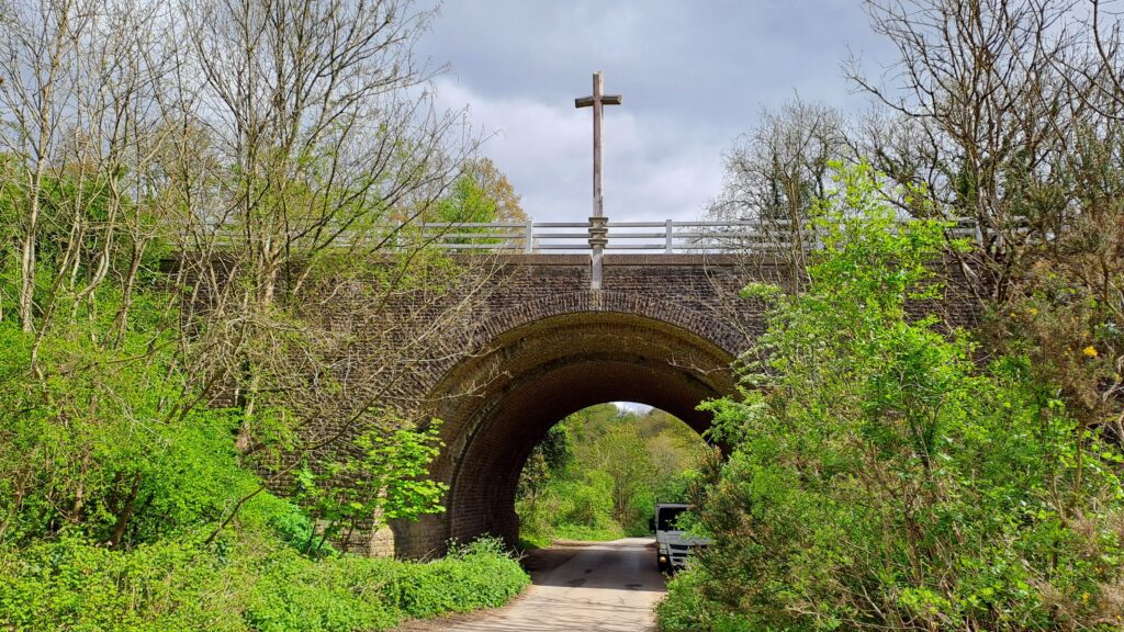
After passing by a couple of fields and through another wooded section, you’ll encounter one of the most iconic sights of the North Downs Way, a wooden cross elevated over a bridge. This sculpture was commissioned by the Watts Gallery and designed by architect Edwin Lutyens to highlight the cultural significance of the route. It’s a fun moment to picture yourself travelling in the footsteps of those who came along this trail many years ago. From here you’ll continue under the bridge and going straight until you reach Watts Gallery.

At Watts Gallery turn left before crossing the road and continuing down the path marked by another North Downs Way signpost. This path runs parallel to Watts Gallery. Once you’re on this path you continue straight ahead towards Guildford down Sandy Lane. There is a section here where one of the North Downs Way signposts has been blown over. Here you’ll want to take the path that runs parallel to Sandy Lane and with a large field on your left. If in doubt, bear in mind that this section runs in more or less a straight line heading towards Guildford with very small bends along the way.
Continue along the path before coming out into a residential part of Guildford. Overall this section is well signposted. At the same time, be aware that next to the University of Law there is a signpost that can be misleading. If you want to stay on the North Downs Way trail, then don’t deviate by going onto St Catherine’s common. While it’s worth checking out to see St Catherine’s cathedral and seeing some nice views, there isn’t a path that easily reconnects with the main route. Instead of going onto St Catherine’s common, make sure you’re walking downhill onto Ferry Lane that will take you onto the River Wey.
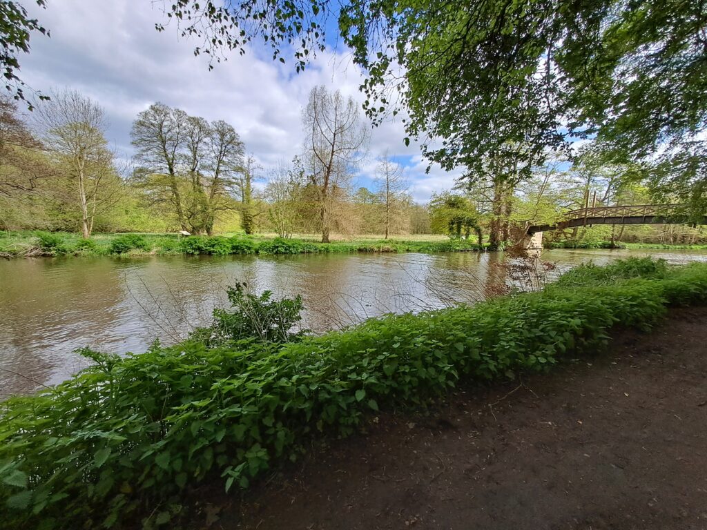
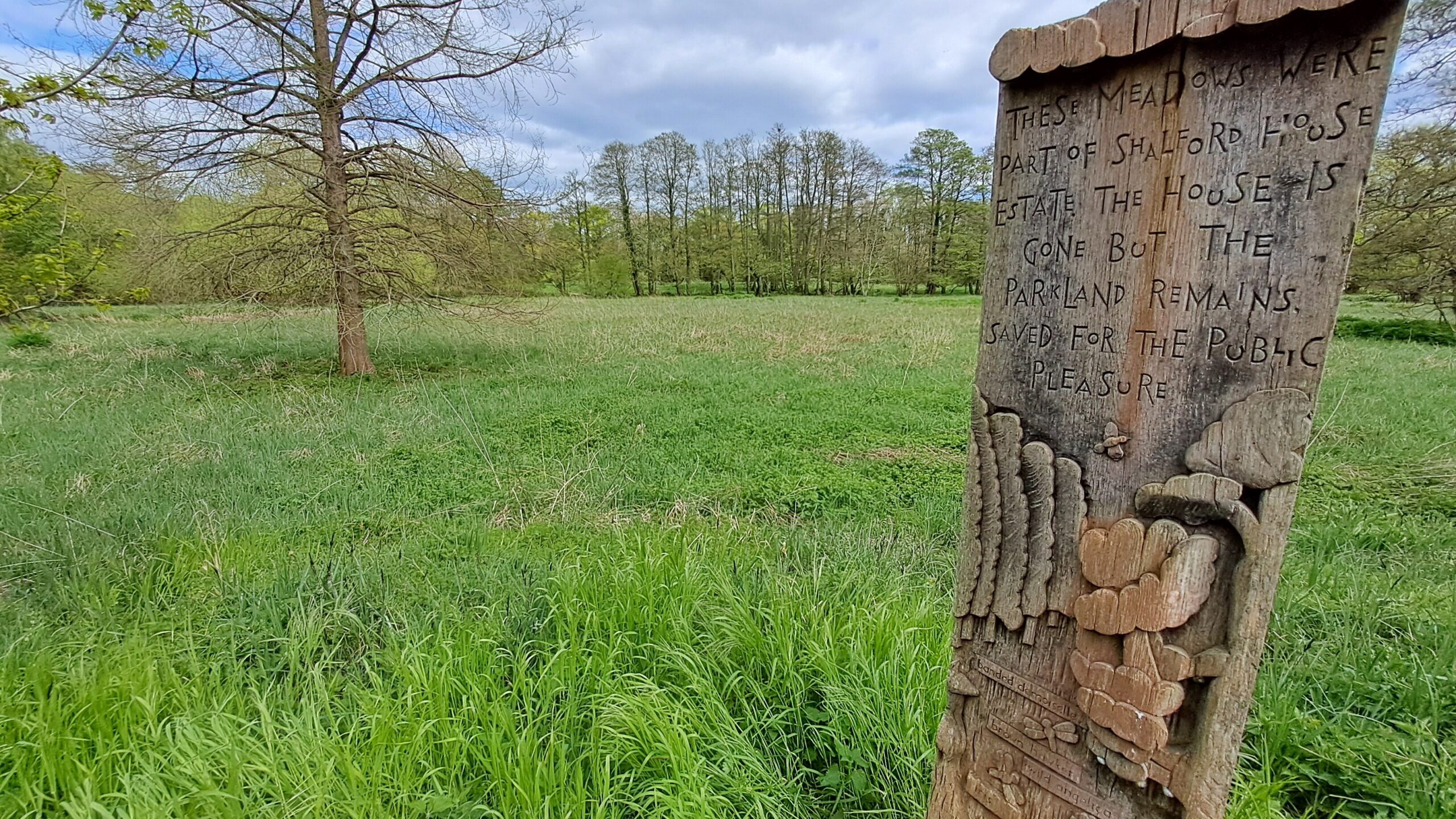
Once you reach the river turn right before crossing using a wooden bridge. Once you’re across the river you’ll see signs for the North Downs Way alongside a wooden carving providing information about the meadows. From this point on you’ll walk along the path at a right angle from the River Wey. Keep following this path until it opens out onto a common with a football pitch. At the far side you’ll see a sign marking the end of the first North Downs Way section.
Congratulations! You’ve just completed the first section of the North Downs Way. If you want to continue your journey in the footsteps of the pilgrims, see our overview of walking from Guildford to Gomshall. Alternatively, if you want to head home, turn left at the North Downs Way sign and continue for fifteen minutes until you reach Guildford city centre. Here you’ll be able to find a variety of transport links including buses and trains from Guildford station. For more information see our handy guide to North Downs Way transport links.
Next Section
Guildford to Gomshall (8 miles)
After crossing Shalford Park and reaching the metal North Downs Way sign, you’ll want to cross the road and continue on down Pilgrim’s Trail. The wooden trail sign has been partly snapped off so this isn’t the most clear. Keep heading down Pilgrim’s trail before taking a slight right into Chantry Wood.