Walking from Gomshall to Westhumble
Section Map
Route Directions
The third section of the North Downs Way charts a course from Gomshall to Westhumble. If you’re travelling by train then you’ll be able to reach the start by turning left from Gomshall Station before shortly turning left again and walking up Beggars Lane. The North Downs Way trail eventually intersects with Beggars Lane although be warned that this walk to the start involves a prolonged period of uphill walking that can be especially challenging right at the start. Don’t worry though as the rest of this section is relatively flat. If you’re continuing straight on from the previous section (walking from Guildford to Gomshall), then you’ll be pleased to know that you’ll be able to entirely skip out the climb up Beggars Lane. That is unless you’ve ventured down into Gomshall to check out one of the town’s many picturesque pubs.


You’ll begin by passing through the Hackhurst Downs in a fairly wooded area. Once you’re out of the woods this section opens up very nicely with picturesque views of Gomshall and the surrounding country. During my time on the route I was lucky enough to wander through a small herd of cows who happened to be grazing along the route. Thankfully they seemed unbothered by hikers and was able to make my way through. There’s also a lovely beauty spot marked by a wooden sign for the ‘Blatchford Downs and WWII Pillboxes’. This crescent allows for far reaching panoramic views of the North Downs and is a great opportunity to grab some photos or take a short break.
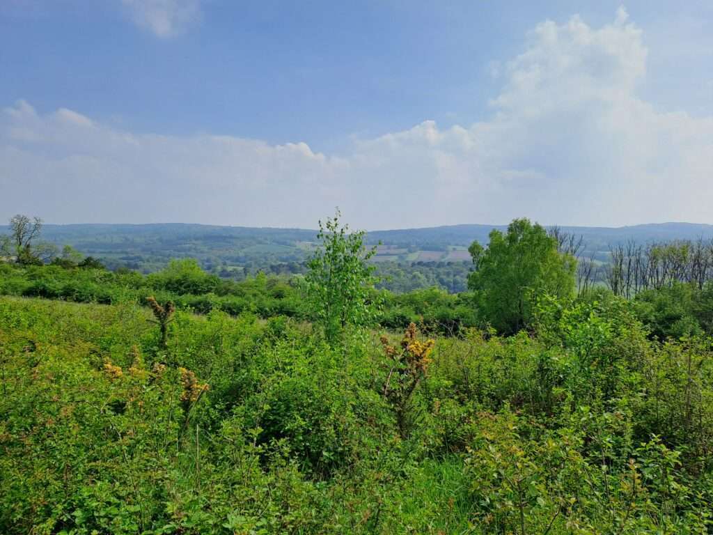


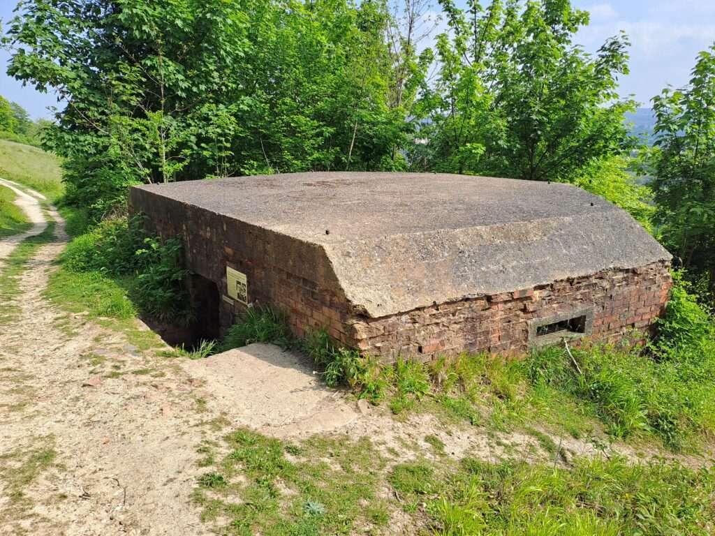
When you’re ready to head on, continue straight across the crescent and make your way along the path. For the next stretch you should be keeping the lovely views of the landscape on your right hand side. It’s here that you’ll also start coming across a variety of WWII Pillboxes scattered along the path. The insides are typically filled with lots of litter and graffiti although they’re still fascinating to step inside if you don’t mind enclosed spaces. The placement of some of these seems quite questionable although I’m sure the surrounding terrain looks very different from the time of WWII.

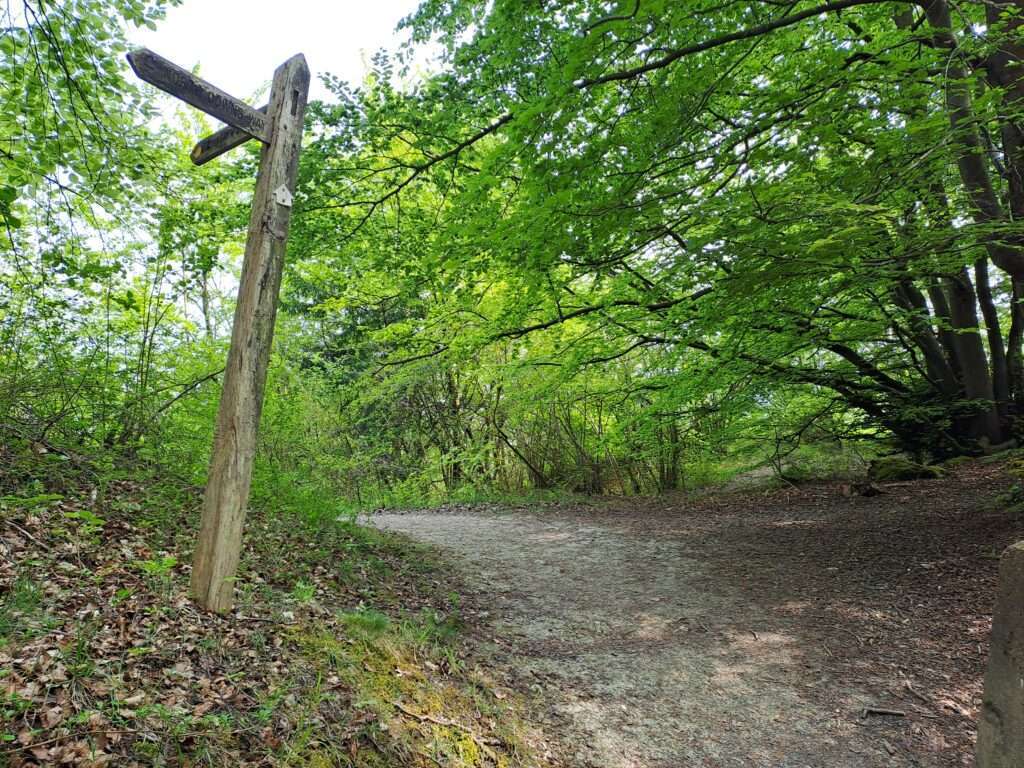
The route gradually begins to bend round to the left and becomes much narrower than before so that it can be difficult passing other hikers or cyclists coming from the opposite direction. You’ll then curve round to the right and go down a small valley right before reaching White Down Lane. I found this part to be not too well signposted but just remember that the section crossing White Down Lane does feature North Downs Way markers. Once you’re across the road you’ll immediately turn left before moving in a straight line for a while.
Eventually you’ll reach a fork in the road with another WWII Pillbox on the right. Here you’ll turn left and walk uphill through a gate. The terrain flattens out after around ten minutes of walking at which point you’ll find yourself in the middle of yet another wooded area. Occasionally the view opens up on the right although for the most part views are obscured by trees. Be careful here as there’s a fairly steep drop on the right. From here you’ll follow the same path until you emerge from the woods into Steer’s Field. This is another worthwhile beauty spot that contains plenty of benches and grassy areas for taking a break. I even spotted a carving on one of the benches referencing the Pilgrim’s Trail which was fun to see.


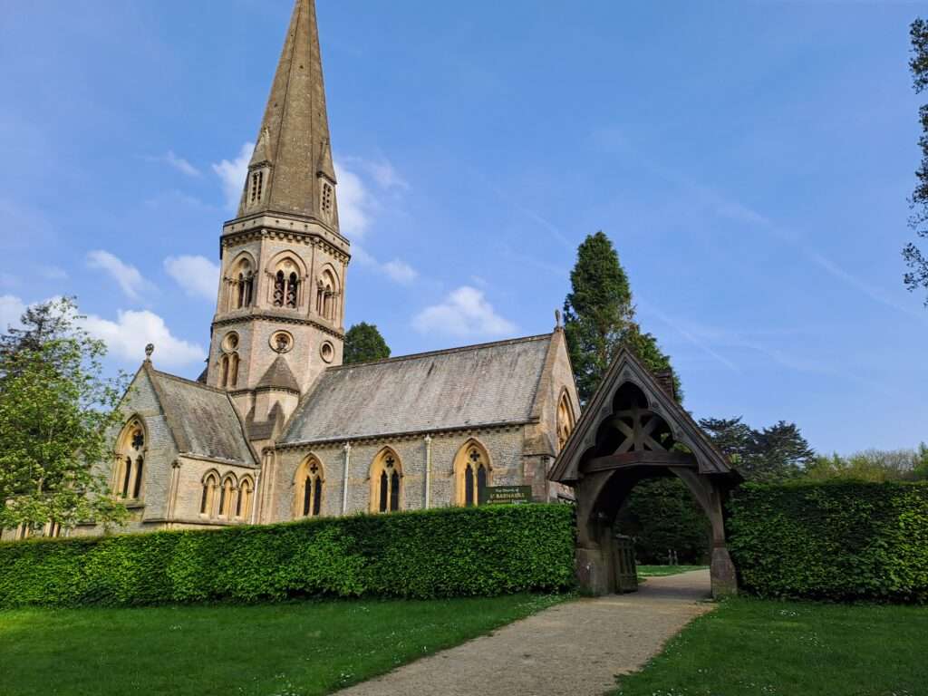
When you’re ready to leave the clearing, head left from where you entered and walk in the direction of St Barnabus Church. You’ll come out onto a main road that you’ll have to cross before heading down Ranmore Common Road towards Denbies Vineyard. You’ll want to pass St Barnabus Church and continue walking down the lane, keeping a tall hedge on your right. At the end of the lane turn right as indicated by the North Downs Way marker. After five minutes you’ll encounter a fork in the road at which point you’ll want to turn left. This wasn’t particularly well signposted but aim to walk towards the vineyard. You’ll know you’re on the right path when you see fields of grape vines stretching out beneath you on the right. Depending on the time of day you might encounter groups taking tours of the vineyard.
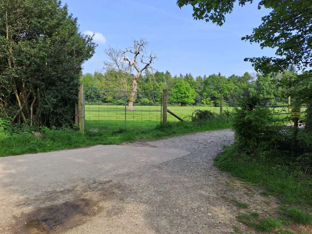

From here the route is pretty straightforward. Keep heading deeper into the woods and following the path as it curves round. A fair amount of this part is slightly downhill which makes it nice and relaxing. The end of this section is marked by a large black gate and another metal North Downs Way sign.


Congratulations, you’ve just completed the third section of the North Downs Way national trail. The next section walking from Westhumble to Merstham is fairly challenging as it involves the climb up box hill so make sure you’re prepared before continuing on.
