
Walking from Guildford to Gomshall
Weather Forecast for this Section
Route Directions
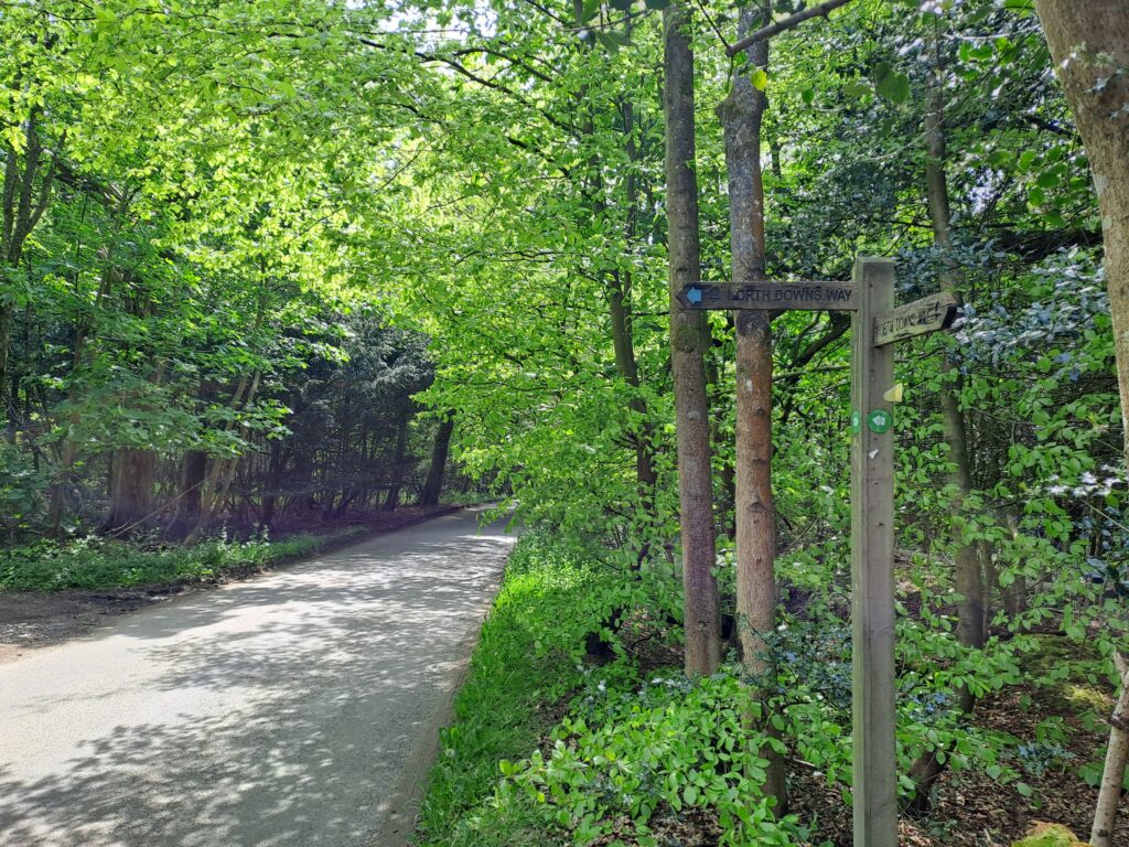
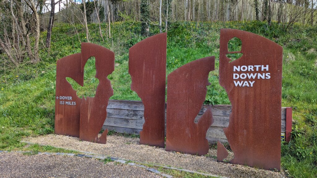
The next section of the North Downs Way (walking from Guildford to Gomshall) picks up right where the last section left off and encompasses a distance of 8 miles. After crossing Shalford Park and reaching the metal North Downs Way sign, you’ll want to cross the road and continue on down Pilgrim’s Trail. The wooden trail sign has been partly snapped off so this isn’t the most clear. Keep heading down Pilgrim’s trail before taking a slight right into Chantry Wood. There is a car park shortly after here although it only offers a maximum stay of 5 hours which might not be ideal for those looking to take a more leisurely stroll along the North Downs.


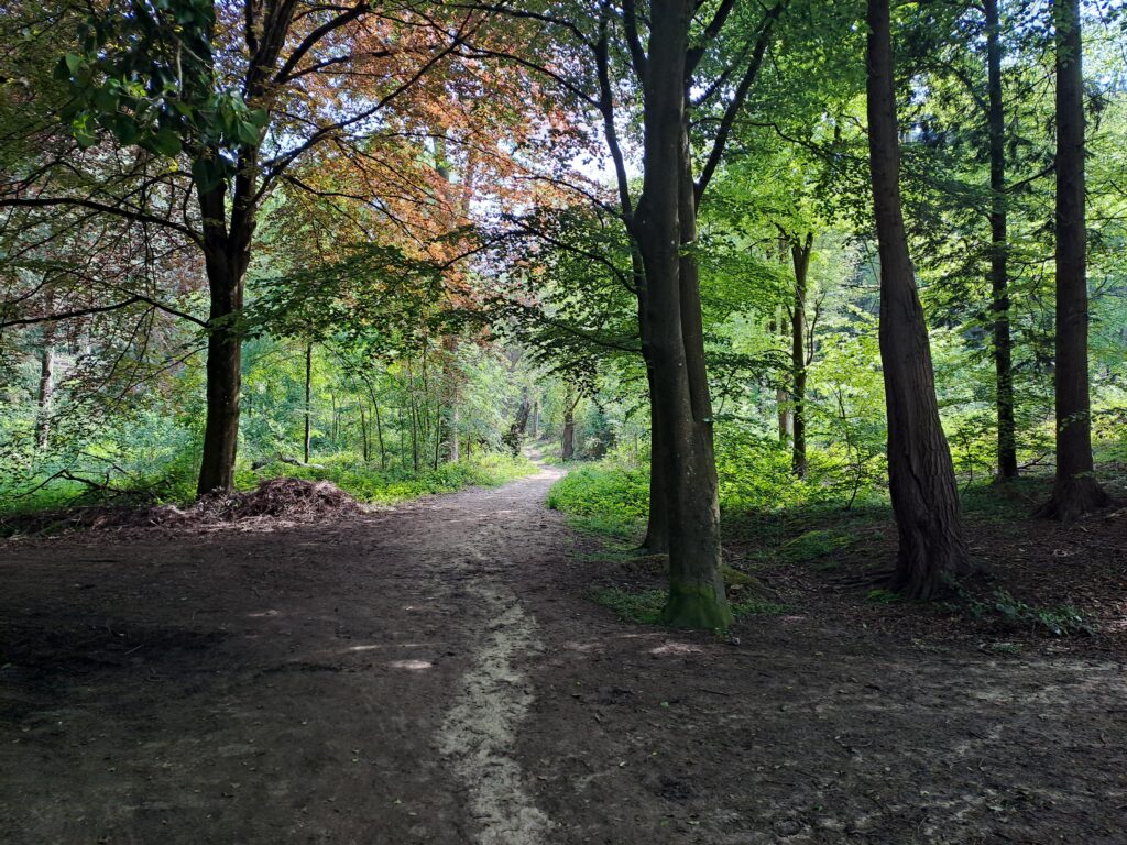
Keep walking straight through Chantry Wood without taking any major turns off the main path. The wood itself is lovely and offers a nice respite from the sun on hotter days. As you continue along the path you should be walking with a variety of fields on your left hand side. Pay careful attention to greeting any horses you happen to encounter along the journey. This is a popular spot for horse riders so depending on when you go you might see some riding schools out on the trail.


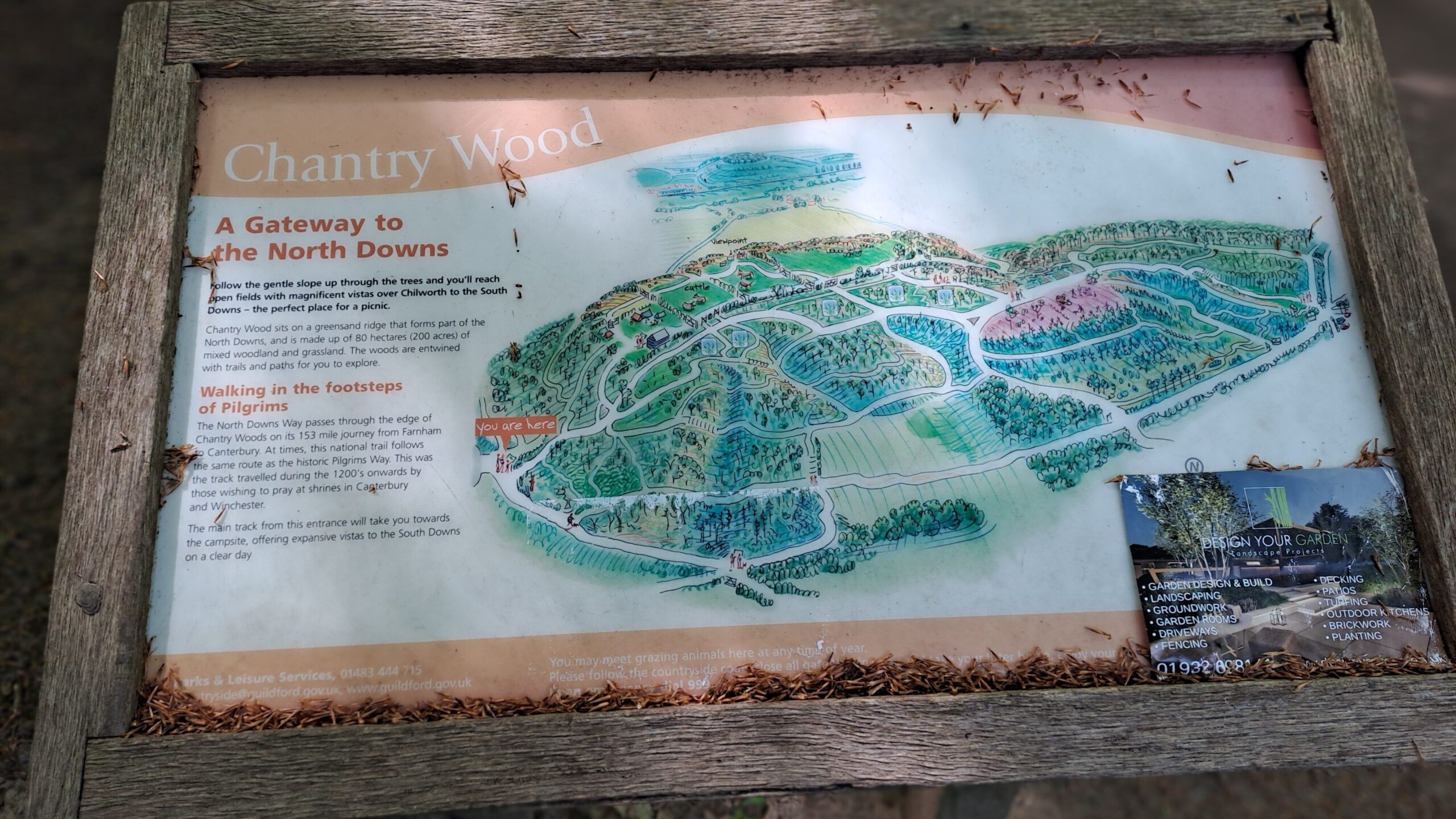
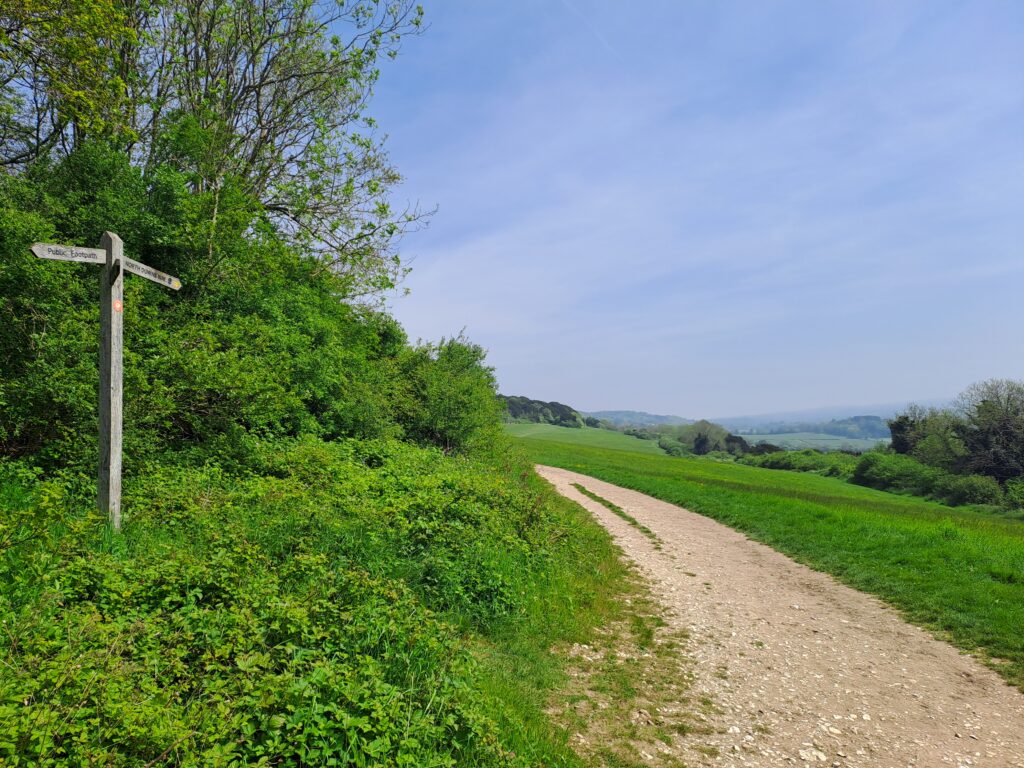
Once you get to the other side of the wood, you’ll see a Chantry Wood noticeboard on your right. From here, the trail briefly intersects with a main road. At this road, you’ll turn left before immediately turning right up a gradual incline to stay on the North Downs Way trail as you make your way towards St Martha’s Church. Be prepared for some prolonged uphill walking during this section, and remember to take breaks when needed. There are several benches along this stretch which offer convenient places to rest.
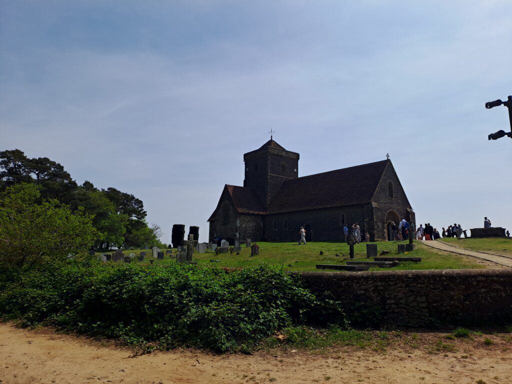
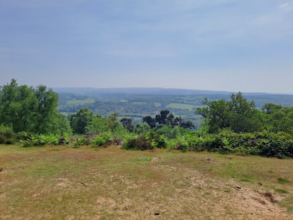
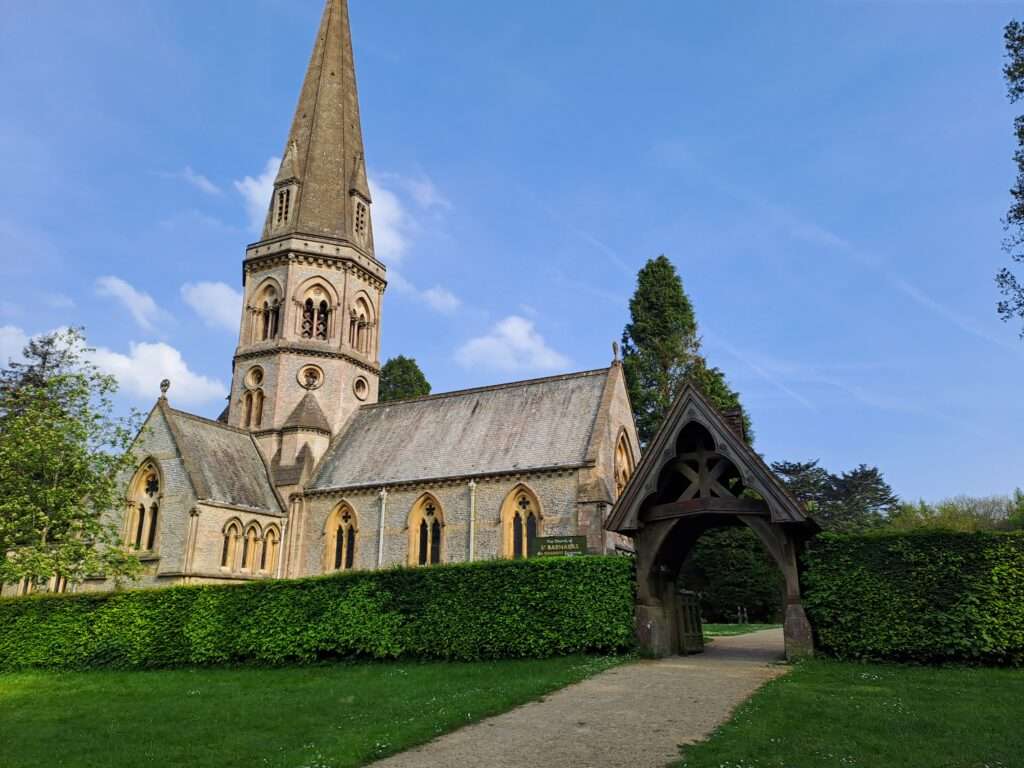
Rest assured that the views from the top of St Martha’s Hill are well worth the effort!
Once you get to the top of the hill you’ll see St Martha’s Church alongside beautiful panoramic views of the surrounding areas. There’s no shortage of benches here which makes it an excellent spot to take a break while enjoying the views. There’s also a car park right next to the church which makes this a good spot if you’re meeting up with late-comers.


When you’re ready to move on, continue straight past the church and begin your descent downhill. The path becomes sandy here and can be steep in certain parts, so be careful not to lose your footing. After heading down more or less in a straight line for ten minutes, the path takes a slight left turn. The path continues the descent down St Martha’s Hill and eventually comes out onto a main road next to White Lane Farm Riding School.
Once you reach the road you’ll want to turn left to follow the path back into the woods. You’ll then come out into the open with a large field on your left hand side. From here the path loops round to the right at which point you’ll cross over Guildford Lane and continue on towards Newlands Corner. Once you cross the road follow the path up into the woods and follow it as it bends round to the right.
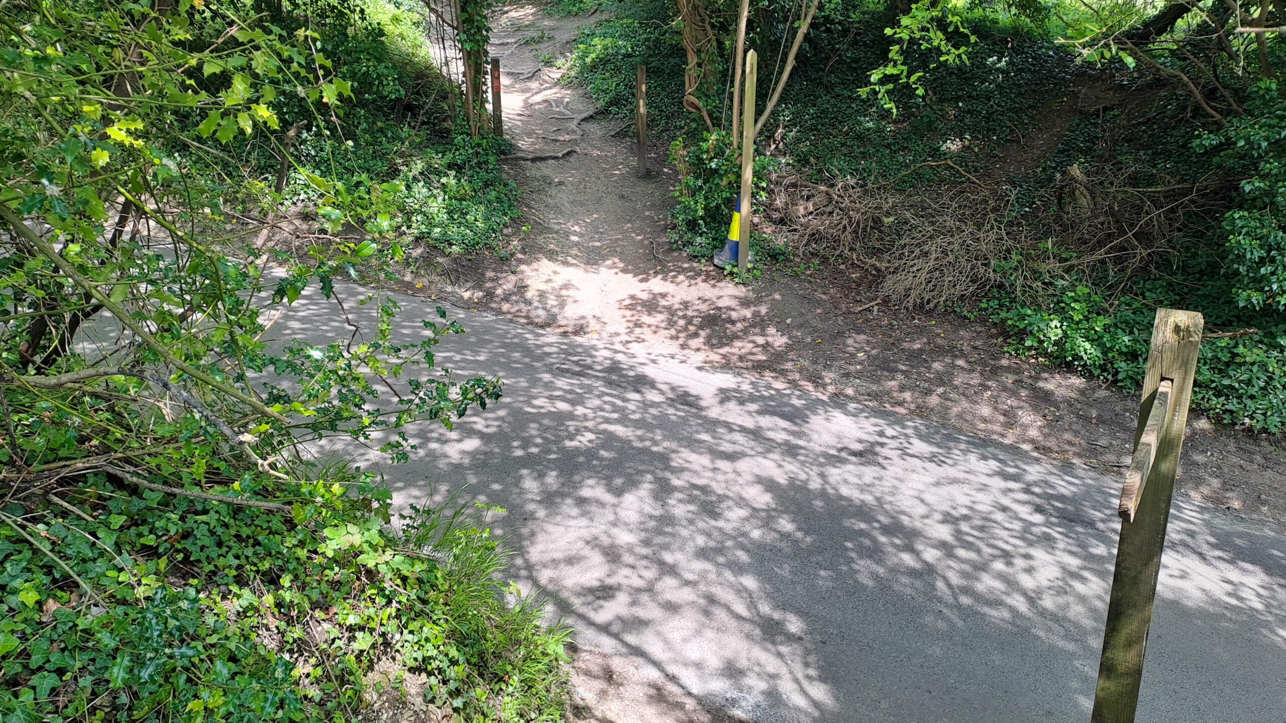
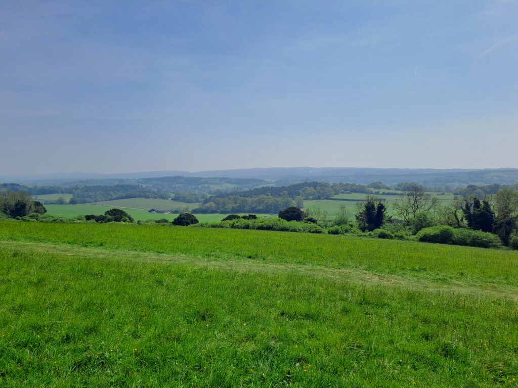
Here, there are quite a few paths that divert, but just make sure you’re heading towards Newlands Corner. You’ll know that you’re on the right track as you exit the woods into the large crescent of Newlands Corner with a stunning panoramic view of the surrounding hills. This is a popular picnic spot, so depending on the weather, you can expect to see people on the green taking in the views. To stay on the North Downs Way trail, continue directly across the crescent.
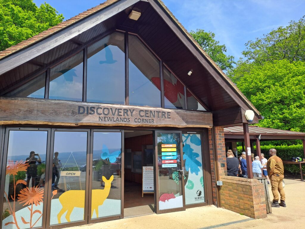
After reaching the other side of the crescent, the path continues on with another wide open view along your right. Here you follow the path as it bends to the left. Eventually, the trail goes up towards the car park for the Newlands Corner Discovery Centre. The centre offers options for food and drink, making it a nice stop before continuing on. There’s also a pub across the road. To stay on the trail, turn right at the car park and cross the road (be careful as it can be quite busy). From here, the path cuts back into the woods and continues on in a straight line for several miles. At the start of this next section, be on the lookout for the Optohedron sculpture by Will Nash that’s worth checking out. There’s also a bench placed next to it with lovely views overlooking the valley.

The next few miles follow a straight line that takes you directly through the Shere Woodlands. During my time on the trail, there was a notice warning of diseased trees along the path, resulting in a higher than usual chance of falling branches, so be sure to keep a watchful eye. Continue walking through the woods by following the North Downs Way trails signs (most indicate to keep heading straight). Eventually, you’ll have to cross Staple Lane car park, which also features a notice board with interesting information about the Shere Woodlands.

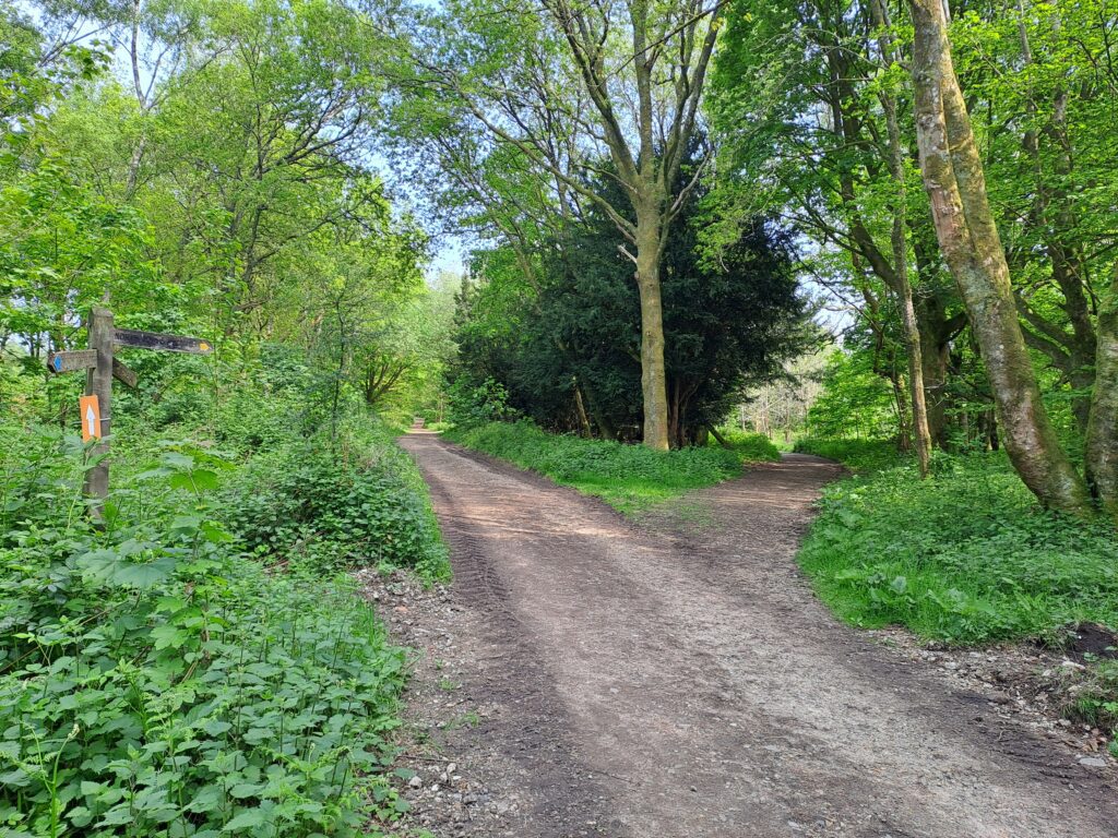
Cross the car park and continue straight ahead until you reach Combe Lane. This section can get very muddy. Once the route intersects with Combe Lane, turn right and almost immediately turn left again to continue back into the woods. You shouldn’t continue walking along any major roads here. Keep walking down this path before turning left at a farm. You’ll then keep heading along this path for around two miles. Look out for the Little Kings Wood viewpoint as it has a lovely view and a bench to take a rest if you want. Eventually, you’ll reach a right turn that will take you onto Beggars Lane.
Great work! You’ve just completed the second section of the North Downs Way. Once you reach Beggars Lane, the easiest way back is to head down towards Gomshall station. If you follow North Downs Way signs, you’ll continue onto the next section walking from Gomshall to Dorking, which is another 7 miles and doesn’t take you through the centre of Gomshall. The small town has some lovely pubs, so definitely worth checking out if you have the time.
Next Section
Gomshall to Dorking (7 miles)
The third section of the North Downs Way charts a course from Gomshall to Dorking. If you’re travelling by train then you’ll be able to reach the start by turning left from Gomshall Station before shortly turning left again and walking up Beggars Lane. The North Downs Way trail eventually intersects with Beggars Lane although be warned that this walk to the start involves a prolonged period of uphill walking that can be especially challenging right at the start.
Previous Section
Farnham to Guildford (11 miles)
Walking from Farnham to Guildford marks the first section of the North Downs Way and encompasses a total distance of 12 miles. The section begins in the picturesque town of Farnham, Surrey, just off the side of the A31. To get to the starting point, head downhill from the station and turn right at the crossroads. This is where you’ll find the official trail start point marked by a large sign and notice board.